Map Reading
Read a map, use a compass, plan a route and much more
OS Fun Geography Quiz
How well do you know the UK? Challenge your knowledge with the OS Christmas 25 Quiz

A Beginner’s Guide to Using a Compass
Even with a GPS in your phone, it's important to know how to use a compass just in case technology fails or visibility is poor. Here's a step-by-step beginner's guide to using a compass, so you can learn the basics of how to navigate with a map.
Free Map Reading Guides
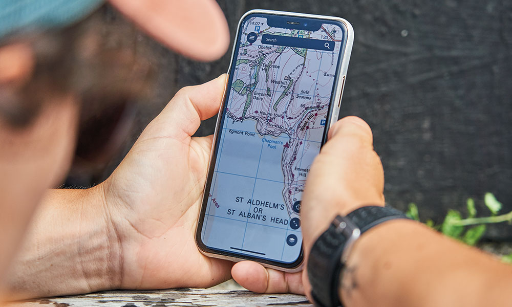
Brush up on your map reading skills with these free guides from National Map Reading Week suitable for total beginners, expert navigators and even kids.

Map Reading Skills – Beginner Guides
This collection of beginners' guides will teach you the basics of map reading so you can learn how to read a map.
Map of UK National Parks
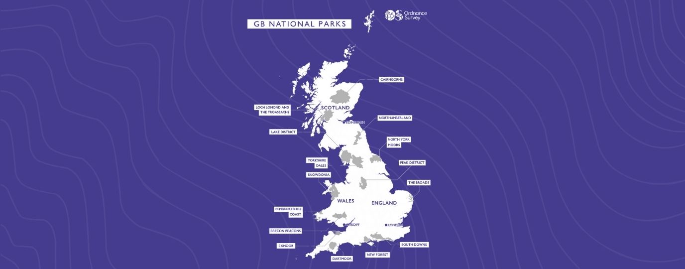
Ordnance Survey is the best place to find a map of UK National Parks - in this post we share artistic 3D Relief Maps of National Parks
Fun Outdoor Kids Activities: Route Planning & Navigation Challenge
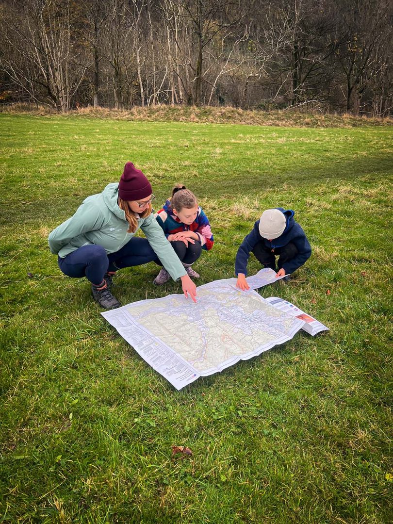
Set your kids a fun navigation challenge with their own personalised Ordnance Survey Map! Get kids outdoors and having fun learning about their environment in this fun kids outdoor activity idea.
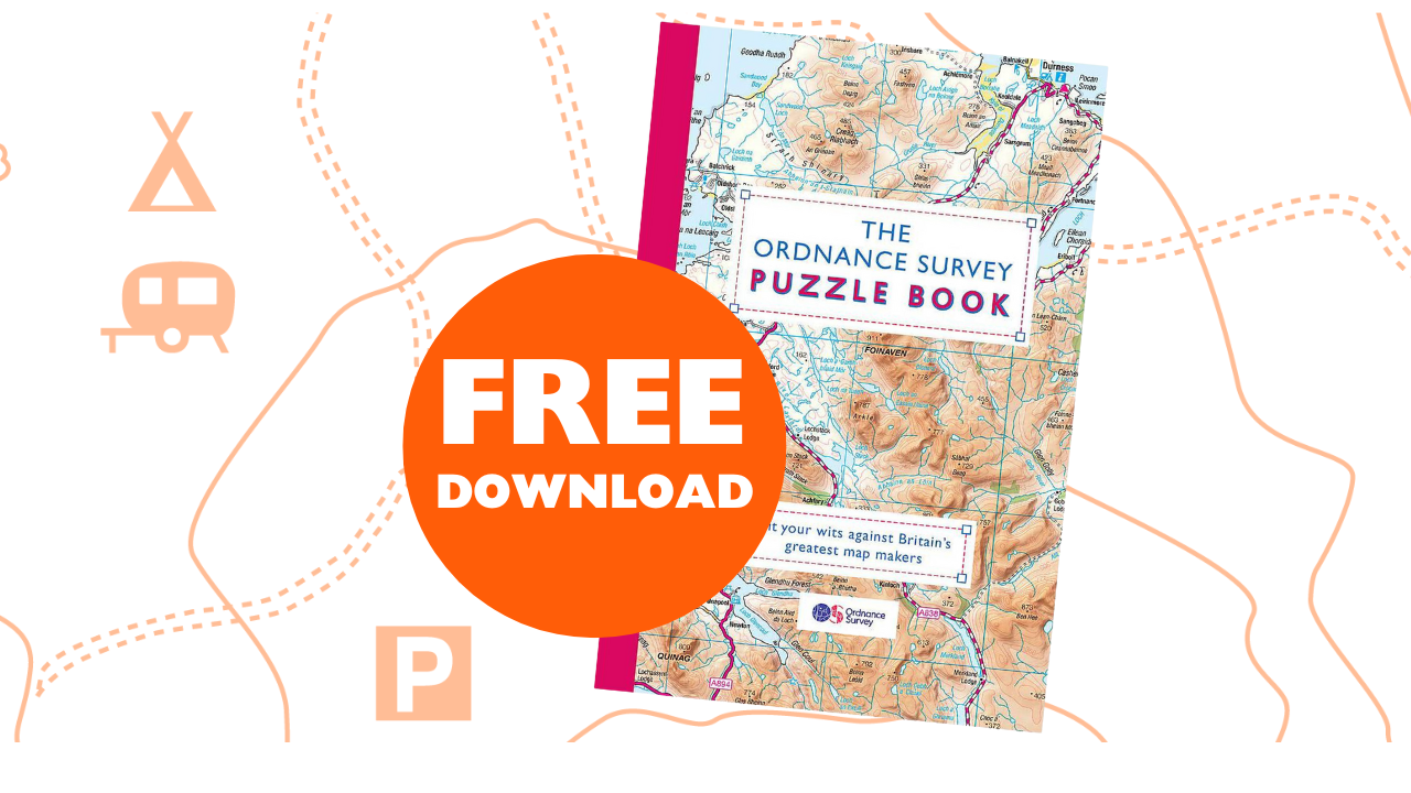
Map Puzzles for Adults & Children with Free Download
Download your free Map Puzzle samples and test yourself and your family on your map reading skills!

National Map Reading Week Quiz
Test your skills with this map reading and outdoor activity quiz, as part of National Map Reading Week

OS Maps: How-to video guides
We’ve created a series of short ‘how to’ videos to help you get started or make the most of OS Maps. Packed full of great planning features and extensive mapping across Great Britain, OS Maps is the only app you’ll need for your next adventure. Enjoy your guide to the great outdoors!

Top tips to get children using paper maps
Find top tips on how to teach children to map read and make it fun with 'Get Out With The Kids'.

Which compass is best for me?
In some sense, all compasses do the same job but not everyone uses them for the same purpose. There are many different models with variations in features, accuracy and functionality. We take a look at some of the best on the market to help you decide which compass is right for you.

What is a Trig Pillar or Trig Point ?
The trig pillar was first used in the retriangulation of Great Britain on 18 April 1936. With over 6500 built, they were vital in map making. Here's everything you need to know about trig pillars including 10 great trig point walks.

An Advanced Guide to Measuring Distance
Enhance your navigation skills and confidence with our advanced guide on how to calculate and measure distance on a map.

Map Reading Skills for Children
Find out how to get children reading maps and encourage them to improve their navigational skills. Our guides will show you how to make map reading for kids of all ages both fun and educational.

Advanced navigation for poor visibility
When you're walking, running or climbing at night or in poor visibility, things don't always go as planned. This advanced map reading guide offers expert advice on how to find your location and never be lost again.

Advanced guide to finding your exact location
Pinpointing your location is a fantastic skill to have whilst out on an outdoor adventure as you can use your surroundings to find your exact location on a map. Follow this fantastic guide to become an advanced navigator and learn how find your exact location when you don't know where you are.

A Beginner’s Guide to OS Map Symbols
This simple map reading guide explains every map symbol on an OS Explorer map (1: 25 000 scale), most popular for walking and cycling. Learn what each map symbol represents on the ground and how you can find points of interest, access land and public rights of way to make the most of your time outside.

Advanced guide to reading contours and relief
Understanding contour lines and relief on a map is essential for safe planning and navigation across the varied terrain you may encounter on your outdoor adventures. This guide explain all you need to know about contours and help you read valley and ridge contour lines, slopes and spurs on an OS Map map.

An advanced guide to understanding map scale
Understanding map scales is vital to successfully using maps for planning and navigation. Boost your map reading skills with this advanced guide for understanding Ordnance Survey map scales and key features on each OS map.

A Beginner’s Guide to Grid References
Improve your map reading skills by learning how to read a 4-figure, 6-figure or 8-figure national grid reference. This grid reference finder is suitable for beginners and includes short 'how to' videos.

A Beginner’s Guide to Understanding Map Contour Lines
Learn the use and meaning of contour lines on a map and understand how to use them to when you're out and about or planning routes. Understanding contours will improve your map reading skills.

A Beginner’s Guide to Understanding Map Scales
Have you ever got confused about what a map scale is, or wondered what is the difference between our OS Landranger and OS Explorer maps? This beginner's guide to understanding map scales will help! Includes a short video for easier learning.

A Beginner’s Guide to Measuring Distance on a Map
Measuring distance is a key tool in map reading and is especially useful for hikers and cyclists who want to measure how far they have travelled or how far they wish to go. Learn how to easily measure distance on a map with our quick and simple guide.

Map Reading Skills – Advanced Guides
This collection of advanced guides will enhance your navigation skills and prepare you for the most extreme of adventures.

A beginners guide to the compass
Improve your map reading skills with this beginner's guide to the compass. We take a look at the different types of compass, such as a baseplate compass, and explain how to orientate a map with one.

Teaching younger children about maps
Teaching children to map read from a young age will help them understand the world around them and set them up for future adventures. We look at how you can introduce younger children to map reading and teach them to create their own simple maps.

Teacher training: how to make map skills fun
Adrian Hall of Active Outdoor Discovery is an Outdoor Activities Instructor, Mountain Leader and Expedition leader - and has spent the last few years inspiring school children to learn all about maps. Here is his advice on how you can make maps fun for kids to support their education and help them learn important life skills.

How to Spot History on a Map – Old OS Map Symbols
Learn what old map symbols mean. British broadcaster and anthropologist, Mary-Ann Ochota reveals some of the most common archaeological clues and historic map symbols.

Public Rights of Way
Did you know, OS show over 220,000 km of public rights of way on our maps? Approximately 170,000 km of these are footpaths and 40,000 km are bridleways. Over 4,600 km are National Trails and 30,900 km are recreational routes!
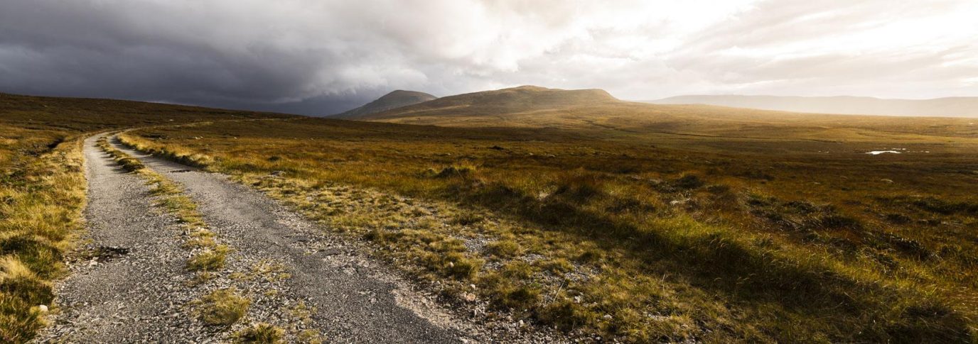
Danger Areas
If you’ve been using OS Maps’ ‘standard’ mapping recently, you may have noticed we’ve added some places marked as ‘Danger Area’. Find out more about what they are and what you can do on them here.
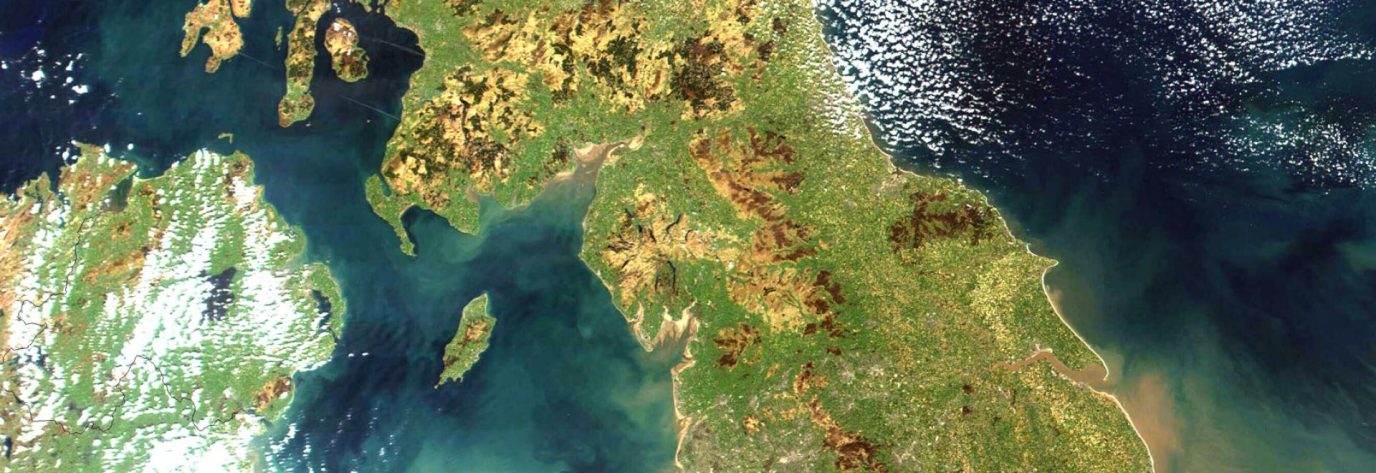
Ordnance survey advanced map reading quiz
We've created a tough map reading quiz to test your skills. See if you can get 100% without looking at a map legend!
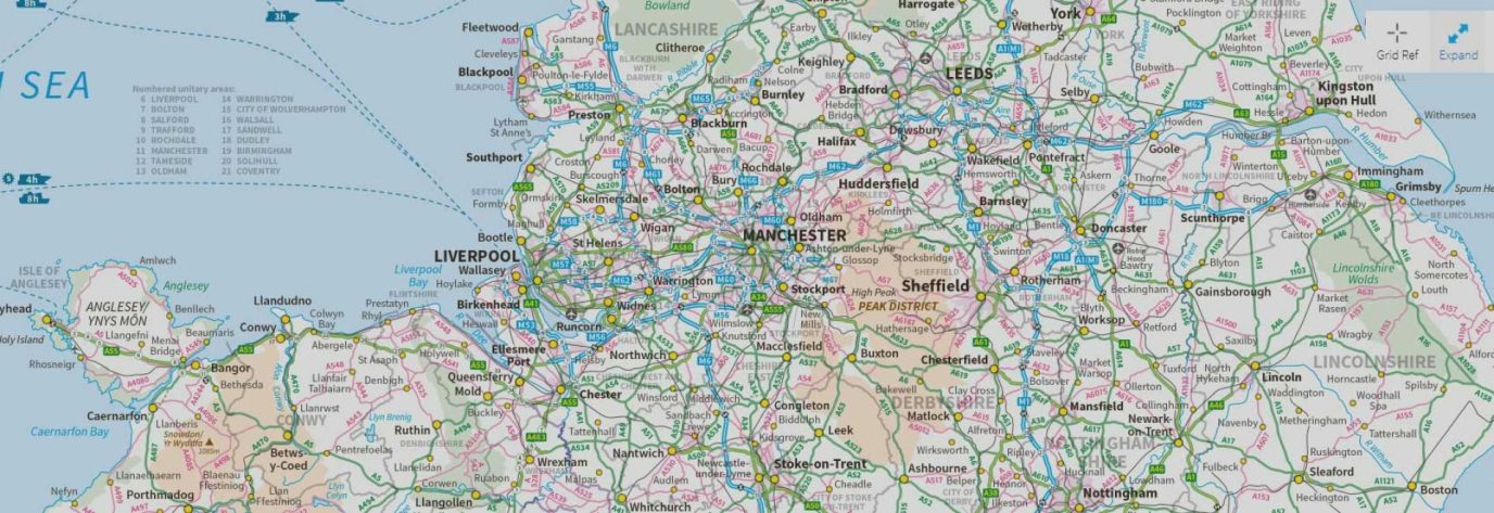
Os tricky place names quiz
We've created this challenging place names quiz to see how easily you can be tricked with made up places. See if you can get 100%!
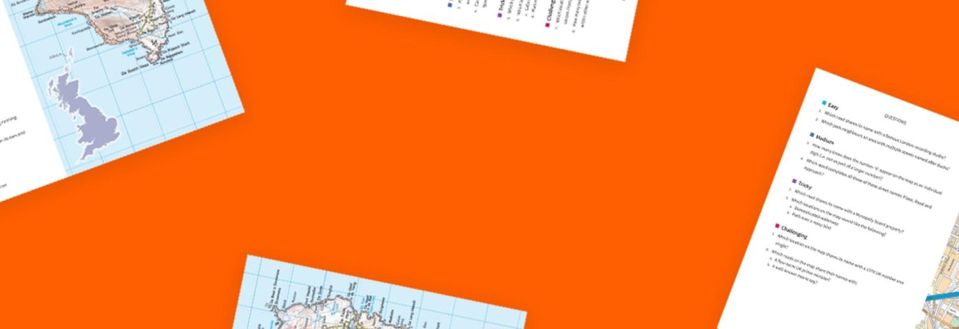
Os map puzzles to challenge your skills
Looking for something to challenge yourself? These puzzles, taken from the two OS Puzzle books, will test your map reading skills!
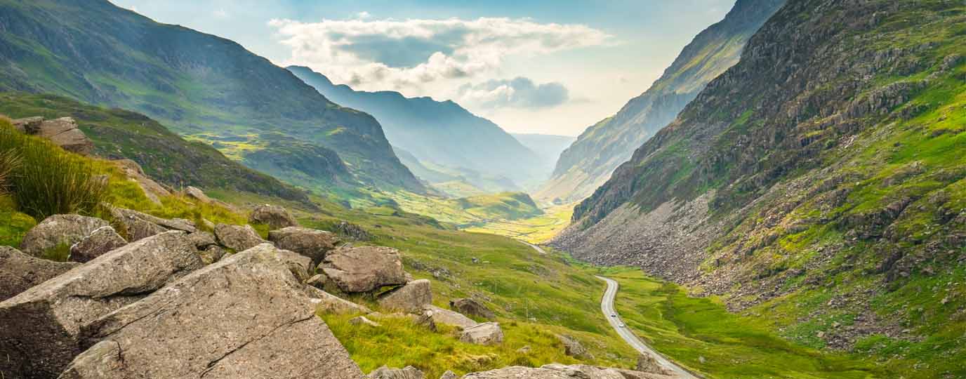
The Welsh origins of place names in Britain
Find the original meanings of British place names that use Welsh source words with this extensive list of terms, complete with pronunciation.
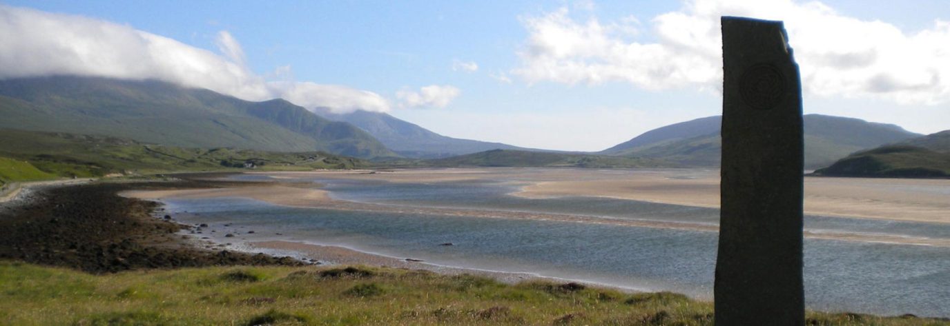
The Scots origins of place names in Britain
Find the original meanings of British place names that use Scots source words with this extensive list of terms, complete with pronunciation.
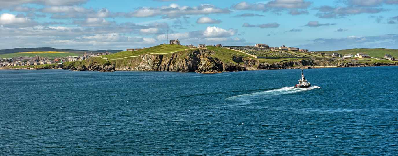
The Scandinavian origins of place names in Britain
Find the original meanings of British place names that use Scandinavian source words with this extensive list of terms., complete with pronunciation.
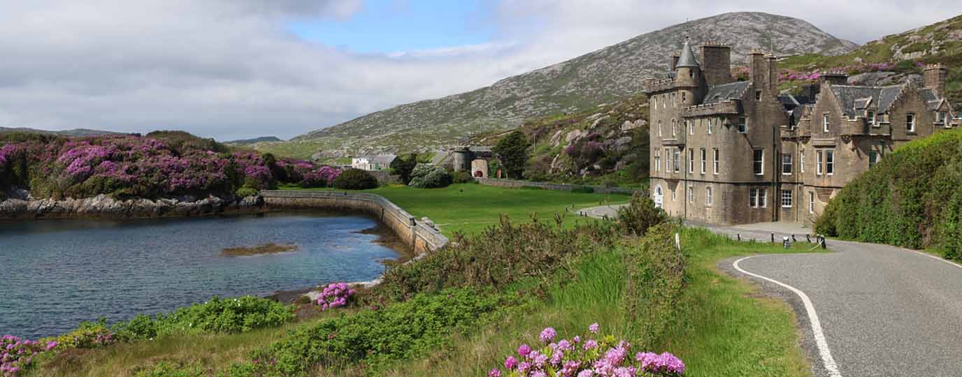
The Gaelic origins of place names in Britain
Find the original meanings of Gaelic place names in Scotland with this extensive list of terms, complete with pronunciation.
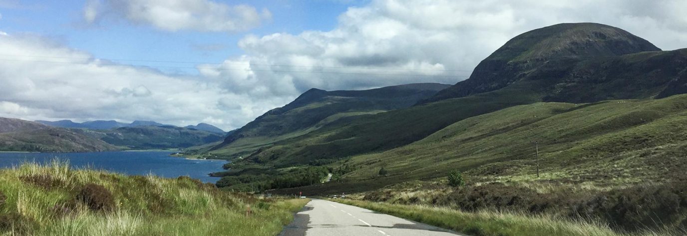
Map reading for road trips
Long gone are the days when we plan our car and motorcycle journeys using large format map books. So, what's the best modern-day option to plan that perfect road trip? We explore the best options.
A tale of three norths
When you first start to map read or work with a compass, the one element that always causes most confusion is that of North! We should all know that the top of the map is North - but which one?
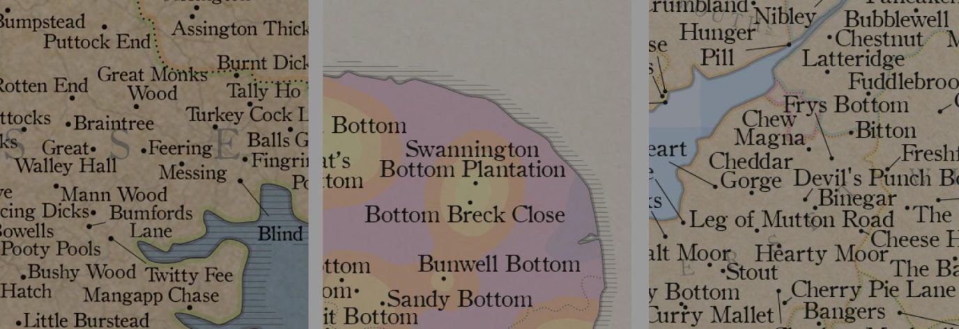
Why there are hundreds of bottoms in England and loads of pants in Wales…
Britain has a varied and colourful history, with lots of different influences over the years. Discover why some of the cheekiest place names exist with the experts from ST&G Marvellous Maps.

The History of Pub Names
History-lover and GetOutside Champion Mary-Ann Ochota explores some of the history behind Britain's much loved pub names – and ways that you can tell what's occurred in the years before.
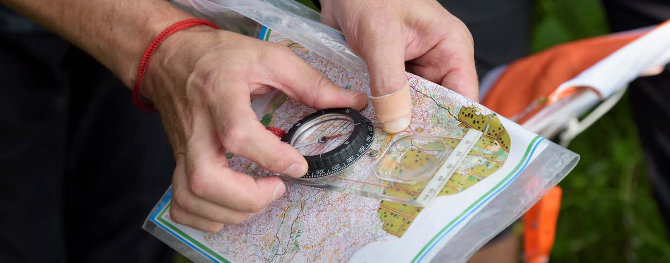
A Beginner’s Guide to Orienteering
Start orienteering with John Warren of the Wimborne Orienteers. Test your navigation skills while you enjoy the outdoors.