Learn how to read a map
These simple beginner’s guides will teach you the basics of map reading so you can learn how to read a map. Includes a selection of short videos to help you brush up on your map reading skills.
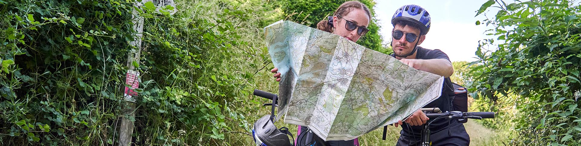
An OS Map can help you discover new places and make sure you safely find your way. It can be vital when exploring the outdoors, if you know how to read it that is. We’ve collected some of our top map reading resources for beginners all in one place. Too easy for you? Expand your knowledge with Map reading – advanced guides.
These beginner guides are part of our free map reading resources for National Map Reading Week. For more information on how to read a map, take a look at our advanced map reading guides. If you’d like to teach children how to map read, check out our map reading skills for children.
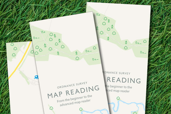
Map reading for beginners – download
Grab this downloadable PDF copy of the ‘Map Reading for Beginners’ leaflet by signing up for our informative newsletter below!

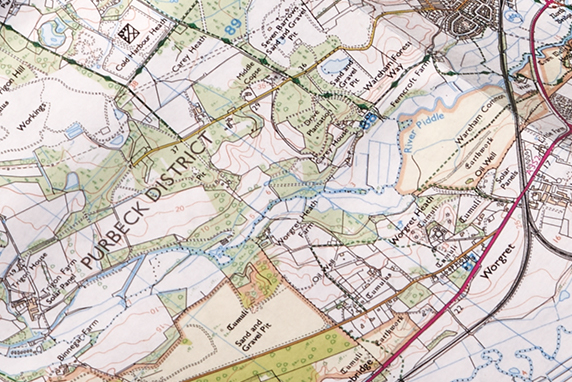
Beginner’s guide to understanding map contour lines
Discover how contour lines on maps are used to understand the terrain around you, including gradients of hills, valleys and steepness of climbs.
A beginner’s guide to understanding map scales
Have you ever wondered what a map scale is, or the difference between OS Landranger and Explorer maps? Our quick guide to understanding map scales will help!

A beginner’s guide to measuring distance on a map
Measuring distance is a key map reading tool to see how far you’ve travelled or how far your planned route takes you. Learn how to easily measure distance with our quick and simple guide.
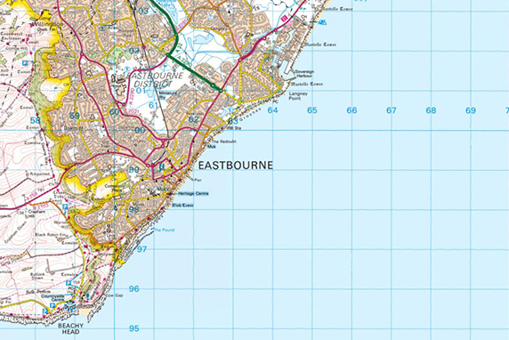
A beginner’s guide to grid references
OS maps are covered in a series of blue grid lines that are used to pinpoint exact locations anywhere on a map. Learn what these are called and how to find a grid reference.
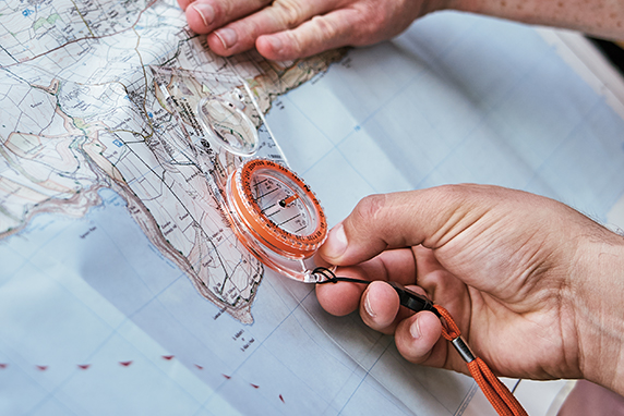
Beginner’s guide to using a compass
Navigating using a map and a compass is a fantastic life skill and complements any GPS device. Here’s a step-by-step guide on how to use compass bearings.
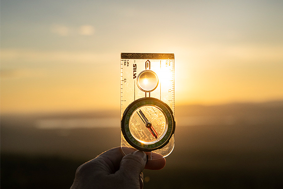
A beginner’s guide to the compass
Rather than just showing north, modern compasses have many features to assist in planning and navigation. Find out what compass you need.
How-to guides for OS Maps
Learn how to use OS Maps in 10 simple steps. Use your desktop and mobile devices to find footpaths, bridleways and recreational paths as well as over 500,000 routes.