Find where you are on a map
Pinpointing your location is a fantastic skill to have whilst out on an outdoor adventure as you can use your surroundings to find your exact location on a map. Follow this fantastic guide to become an advanced navigator and learn how find your exact location when you don’t know where you are.
Why learn to pinpoint your location?
Pinpointing your location is useful to make sure you’re moving in the right direction or can help you to locate your position on the map if you are lost. it’s also a also critical skill in an emergency, where giving an accurate grid reference to rescue teams is vital.
Here are several techniques to help pinpoint your location on a map. These techniques can be used very effectively once you’ve learned to interpret the features of a map. Some methods will rely on your eyesight while others use your compass.

Transit lines on a map
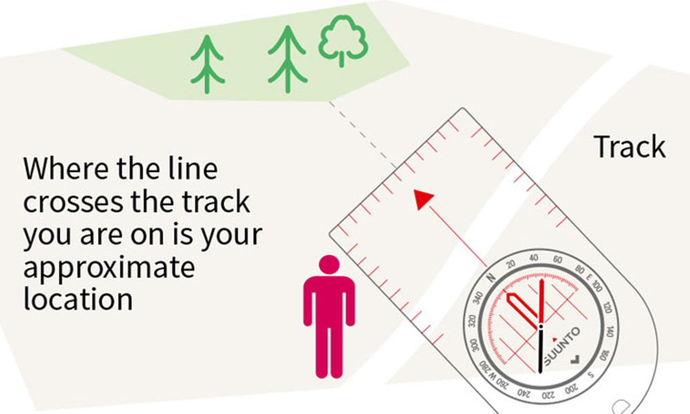
When you know two or more features on a map will line up with one another along your journey you can form a transit line. As you walk along a track (which appears on the map) there will only be a single point where two features appear in a direct line with each other.
Draw a line on the map that crosses through both features and continues across the track you’re walking on. When you see the two features on the landscape line up as you walk along the track, you’ll be at the point where the line on your map crosses the track (as shown here).
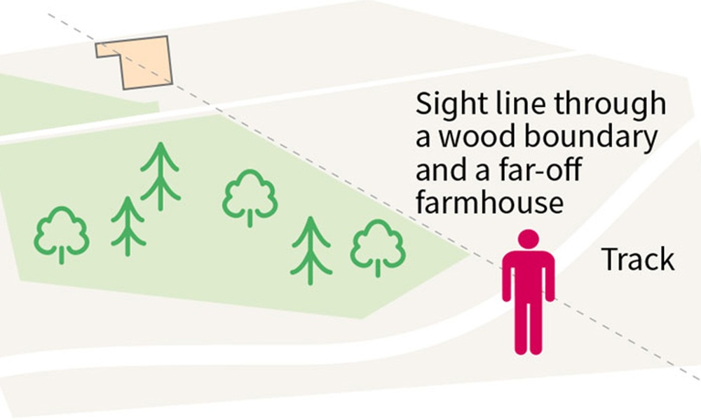
Finding your location with transit lines
It’s also possible to create transit lines using linear features such as walls, fences or straight streams, even if the features won’t line up as they did above. By drawing lines on a map, extending the existing lines of linear features, you can create several transit lines that will help you pinpoint your location (as shown below).
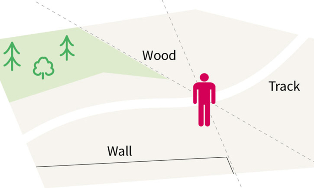
Using several transit lines to pinpoint your location
Pinpointing your location with a compass
An alternative to using transit lines and relying on sight is to use a compass to locate your position.
If you are on a known track with an identifiable feature in sight (which also appears on your map) you can take a bearing in the direction of the feature and use it to calculate your location. Looking at your compass, detect the direction the feature is from your current location. With the direction of travel arrow pointing at the feature, turn the compass housing so the orienting line sits under the red half of the compass needle.
Finding your location using a compass bearing
This bearing is a magnetic bearing rather than a grid bearing, which your map uses. You need to deduct magnetic variation from the compass reading to convert it. The magnetic variation is currently 0º to 5º throughout Great Britain (this amount changes annually, so check your OS map to work out the most current value).
Line the orienting lines up with the eastings (the grid lines running north–south) on your map. Now carefully slide the compass across the map so one of the edges of the base plate crosses the feature you spotted on the landscape on the map. If possible, draw a line along the base plate. Where the line crosses the track you are on is your approximate current location.
Triangulation
A resection is similar to a back bearing, but can be used if you are in the middle of open countryside or on an unknown track.
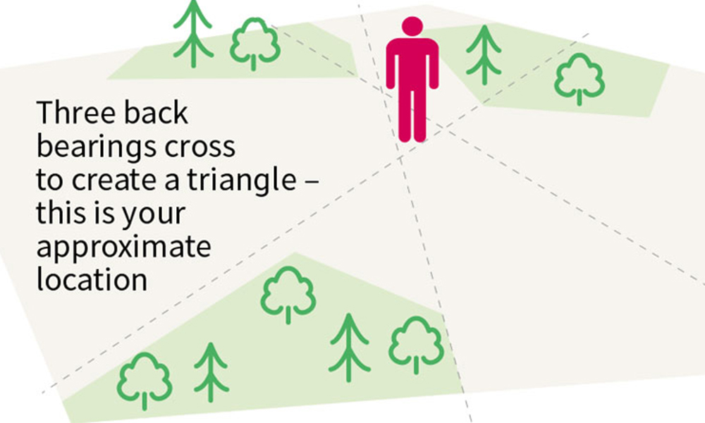
You need to begin by taking the bearings of three features in sight, which are also on your map. If there are no man-made features use natural features such as the crests of hills, but be careful with trees and water, as these can change size and shape over time, making it easy to mis-identify them.
The three features should be spread out, ideally with 120º between each (for example, one in front of you, one if you look over your right shoulder and the other over your left shoulder). It is possible to use just two features, but this will severely affect the accuracy of your pinpointing.
Repeat the steps you took to obtain a single back bearing for all three features you can see. You should now have three lines drawn on your map, creating a small triangle where they cross one another. Inside the triangle is your approximate current location.
Using a resection to triangulate your position on a map
These methods can all help you to locate your position when you cannot be sure where you are. These techniques all require at least some visibility, so in fog, cloud, snow or darkness you will need to look at alternative methods.
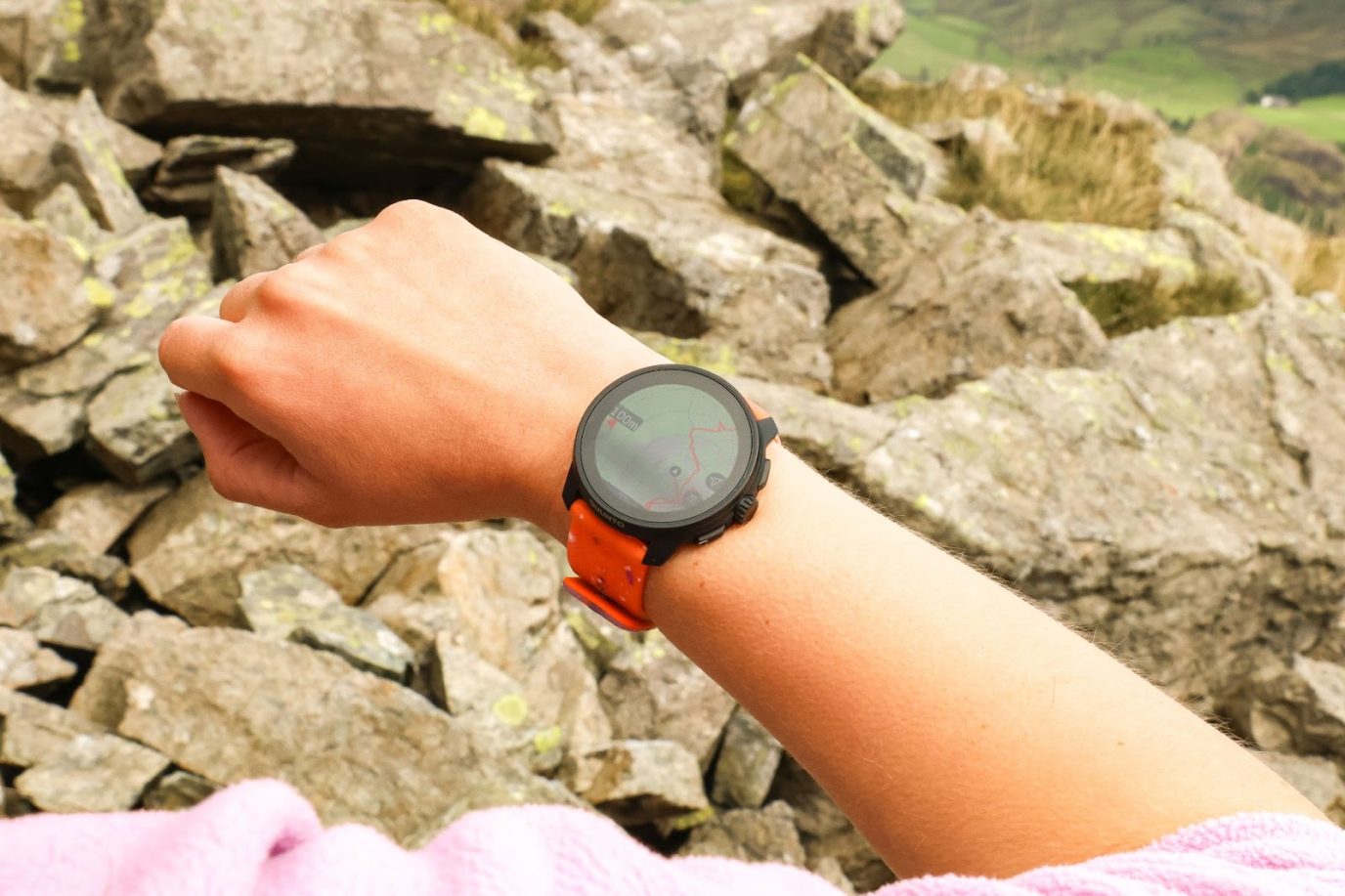
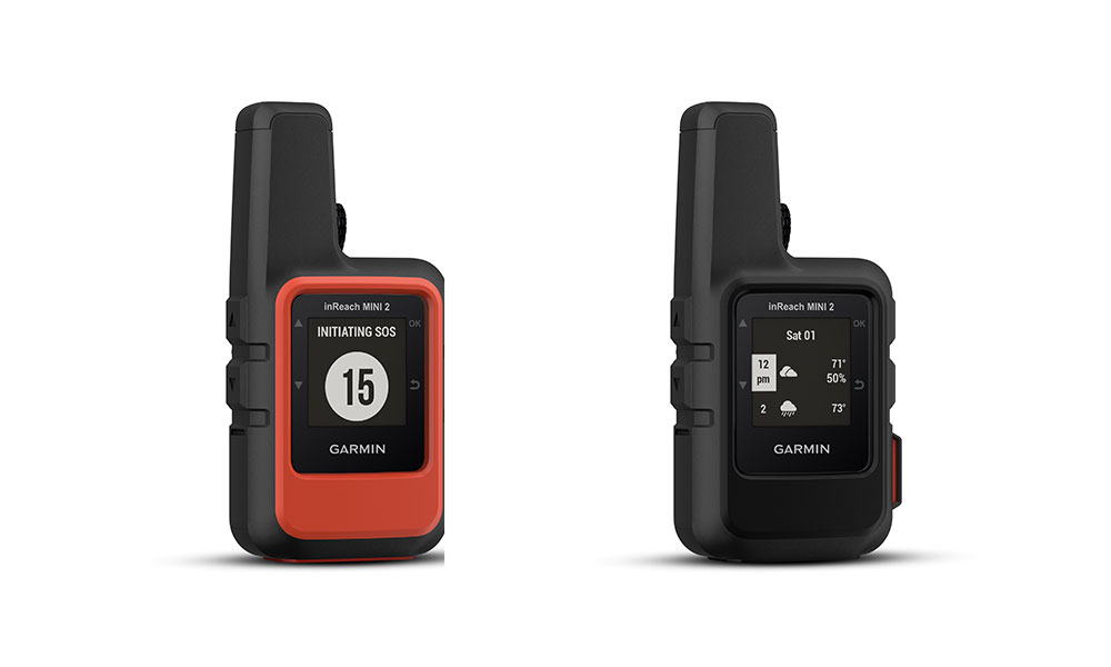
Of course, with modern technology, a GPS device (such as the popular Garmin inReach mini2) or app (such as our own OS Locate) can give you an accurate position very quickly. However, electronics fail or run out of power, so the ability to determine your location with just a map and a compass is vital for anyone planning longer routes. It also has the added benefit of helping you be much more aware of your surroundings – and not just following an arrow on the screen.
Garmin inReach mini2
This guide is part of National Map Reading Week, which encourages everyone to improve their map reading skills and discover new adventures. Find more advanced map reading guides here or if this guide was a little difficult, browse our beginner map reading guides.