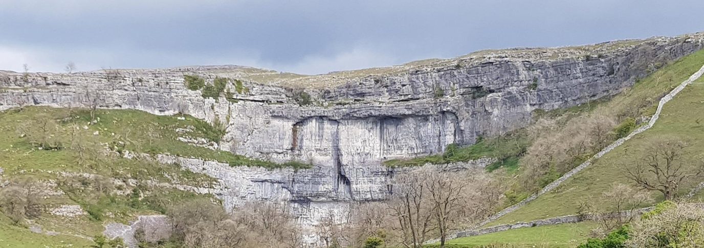
Never be lost again
When you’re walking, running or climbing at night or in poor visibility, things don’t always go as planned. This advanced map reading guide offers expert advice on how to find your location and never be lost again.
First things first, always take a detailed map and compass out with you – especially if you’re heading into the hills where the weather can quickly change, or if the forecast looks a bit iffy. If you do find yourself lost, try to place yourself using some of the techniques outlines in how to pinpoint your location. Most of the time, this will be enough to get you back on track, even if you have to plot your route back to where you should be.
Sometimes, however, poor visibility makes it hard to see enough points to triangulate your location. In Britain weather conditions can change rapidly, especially on the hills, where fog can reduce visibility to the extent that it’s hard to walk on a consistent bearing.
Trust your compass
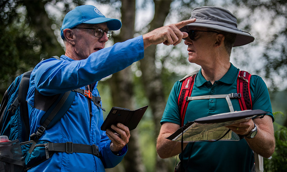
It’s very easy to become disoriented in poor visibility. If you have taken a bearing and it feels wrong, double check, or even better get someone else to check using their own compass. If you get a consistent answer that still conflicts with your instinct – trust the compass.
Almost every time it’s fatigue, a curved path or a confusing slope that’s throwing off your sense of direction – but not the compass.
Use a GPS
Even if you prefer to use a paper map and a compass, a GPS device or app is great backup. Even the most basic will give you the local grid reference (such as our own OS Locate app), so you can find your position on the paper map.
If you use a GPS heavily it’s worth bringing at least one set of spare batteries. If your GPS is use for emergencies only, check the power level before you set off.
If your phone is also your GPS, be aware that it’s also your main way to get help in emergency. GPS functions can drain battery life quickly on most phones, so either have an emergency PAYG phone in your kit, or bring a booster battery or powerbank suitable for your main phone.
Garmin InReach Mini2 GPS. Credit: Garmin
Keeping on a bearing with no landmarks
At times here may be no landmarks to help you stay on a bearing. Especially in fog or snow it can be easy to veer off course, and walking continually looking at a compass is not accurate. One solution is using your walking partner as a target feature.
Both of you must have compasses with the correct bearing already set. The front person walks ahead staying on the bearing as best they can, within the limit of visibility or a sensible distance. The rear person waits.
When the front person is nearing limit of visibility, the rear person checks the bearing from themselves to the front person, and can get them to move left or right to correct their position – they will be able to see if the front person has walked off the bearing. Use agreed arm signals (or a radio) to give corrections.
Once the front person is in position, they stay still while the rear person catches up. Repeat this process until you have a landscape feature to use.
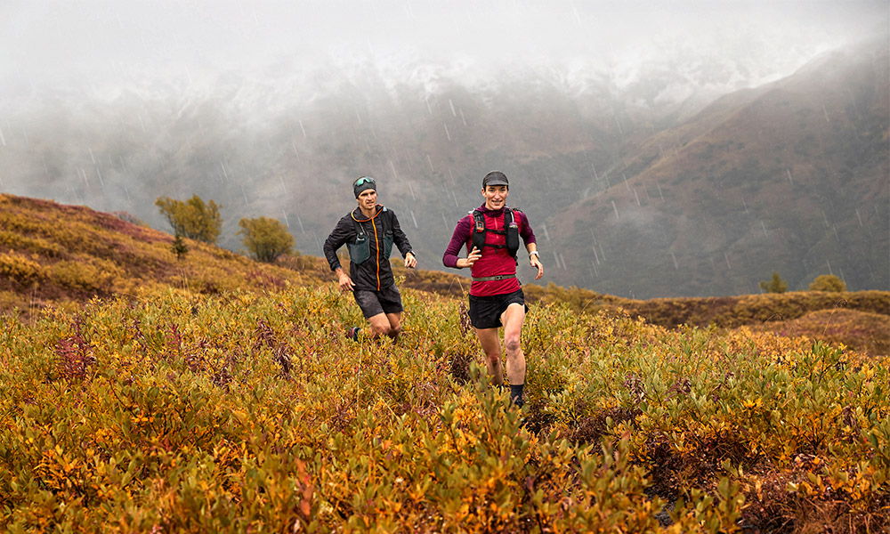
Navigating in low visibility
Spiral Search
This is a good method to use if you are alone and have limited visibility, but know you are close to your next marker, camp or shelter. It’s also a good technique if you are unsure of your position and have absolutely nothing to orient yourself on, as you can keep going until you find a distinctive feature you can identify.
From your current position, use your compass and walk north to the limit of your visibility. Stop and use your compass, turn 90° to the right and walk twice the limit of your visibility (you will have to pace accurately).
Stop and turn 90° to the right and walk three times your original distance, then turn again and walk four times the original distance to create an ever expanding circle.
Keep doing this with longer and longer legs until you find your destination or suitable navigation point. All points within the circle are visible at some point.
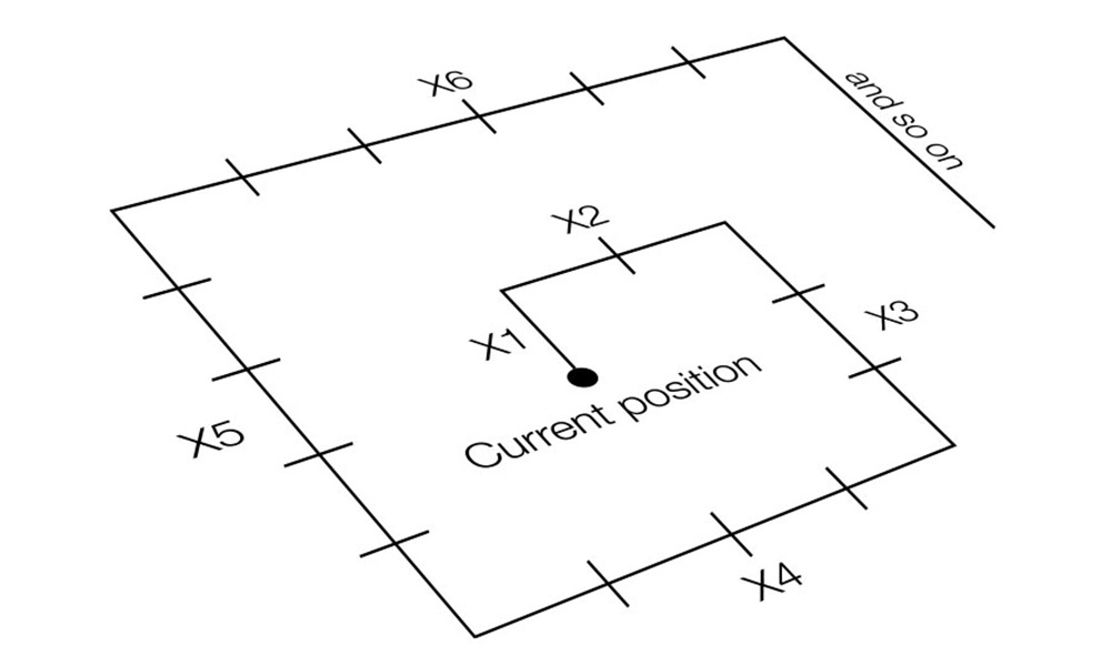
A spiral search pattern

Top tip
Stay on a bearing by leaving rocks, sticks or snowballs behind, or throwing them in front
Sweep Search
Another method if you have missed your destination or a waypoint is the sweep search. A drawback of the sweep search is that it is difficult to carry out alone, but can be easily undertaken by a party of walkers. Using the sweep method is relatively simple. Space everyone out so that you are all still just within visible contact and walk in a line abreast across the area to be searched until your checkpoint or object is located.
To work out the limit of visibility distance, ask someone to pace away from you. Stop them when it becomes difficult to see them – this is your distance. If you are unable to do this, guess the distance, making sure you underestimate rather than overestimate it.
You can combine this with a spiral search pattern to search a large area quickly
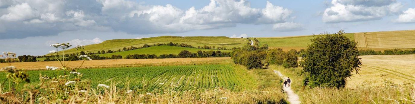
Navigating in bad weather
Navigating at night or in bad weather
Navigating in fair conditions should present no great problems to an advanced walker. Navigating at night or in poor conditions don’t require new techniques, just a more skillful and determined use of those you already possess. You can prepare in advance:
- Practice your navigation skills, such as walking on a bearing and pacing in good conditions, even when you don’t need them. You will increase your confidence and accuracy.
- Your route plan should note possible escape paths along your route, have a record of compass bearings, distances and estimated times.
- Check through your gear before you set off to make sure everything is in working order, especially the emergency equipment that can often sit in a bag for years between use.
- Make sure you have easy access to essential equipment when you pack your rucksack. Check out our guide to what to wear walking and what to take walking too.
- Use a map case to protect your map from bad weather or use an ‘Active’ weatherproof map.
- Always leave a copy of your route plan with family, friends, your accommodation or local police with an expected time of return and ensure you let them know when you do return safely
This advanced guide is part of National Map Reading Week, which encourages everyone to improve their navigation and map reading skills to stay safe whatever they are doing. If you found this too advanced, try our beginner map reading guides.