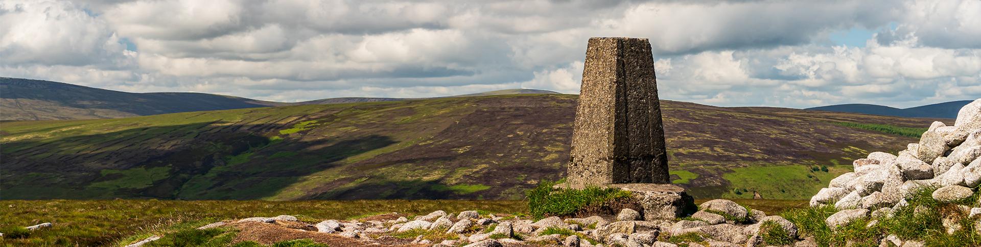
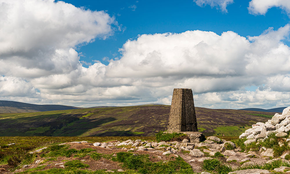
Trig Pillars aka Trig Points (in the UK)
The trig pillar was first used in the retriangulation of Great Britain on 18 April 1936. With over 6500 built, they were vital in map making. Here’s everything you need to know about trig pillars including 10 great trig point walks.
What are they?
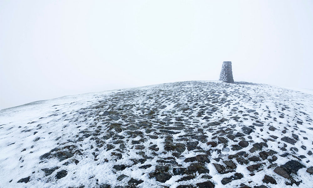
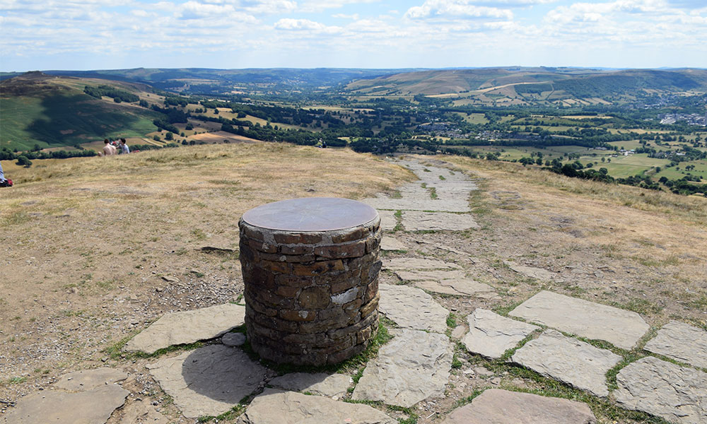
Trig pillars, also known as trig points or triangulation pillars, are columns made of cast concrete or cemented stone. They are typically four foot tall, with a large part of the pillar buried below the surface.
The iconic trig pillar was designed by Brigadier Martin Hotine in 1935, with the first pillar put in place in 1936. Hotine designed them to triangulate (separate) Great Britain into a network of triangles, and accurately map the land.
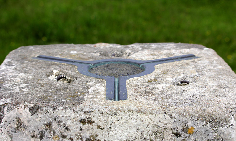
His design also provided a solid base for theodolites – a precision instrument used by survey teams to improve the accuracy of the readings they obtained.
Why they were important?
In the early 20th century, Britain saw a phase of rapid development after the Great War. The systems in place at the time couldn’t support the mapping necessary to monitor the changes.
Ordnance Survey implemented a new reference process. 6,500 + trig pillars were installed across the country, at specific points with recorded coordinates and point of elevation (their height). Many trig pillars are located on hilltops, for better visibility.
Once in place, on a clear day surveyors could see at least two other trig points from their own. Then, careful measurements of the angles between other trig points triangulated the lands of Great Britain. Positions of all land boundaries, roads, railways, bridges, and other infrastructure could be accurately plotted by the network.
The trig pillars helped to map Great Britain, and enabled Ordnance Survey to produce paper maps and mapping data that helped you find this pillar!
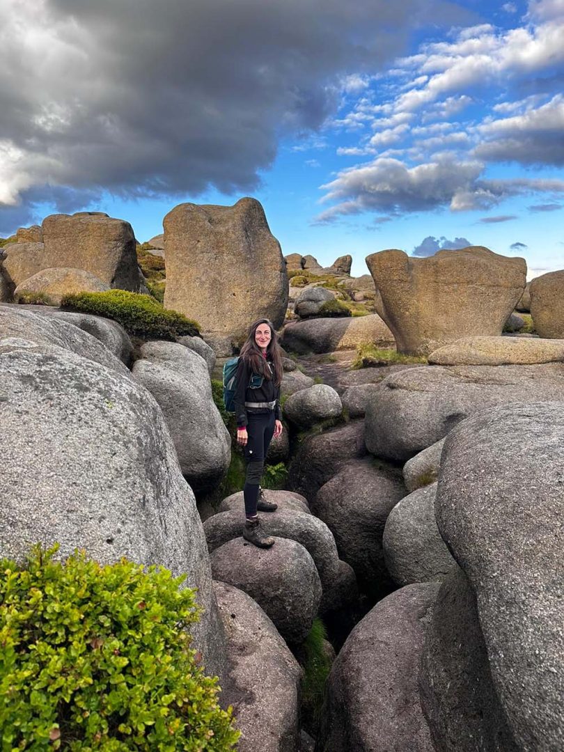
Mam Torr trig pillar
Mapping today
80+ years later and trig pillars are now almost obsolete. Time and technologies have moved on, with use of aerial images, drones, satellites, and even a country-wide positioning system that has mapped Great Britain down to centimetre accuracy.
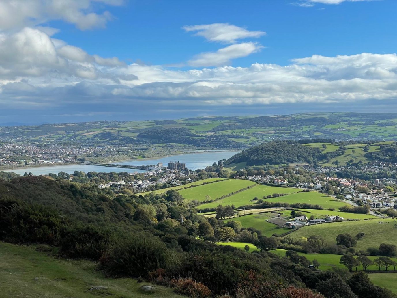
Trig pillars remain, no longer shaping maps, but they’re a beacon for outdoors lover. A location with great views and photo opportunities.
And a reminder of our history.
Fun facts about Trig Pillars
- From every trig pillar, you should be able to see two others.
- Trig Pillars are sometimes referred to as ‘Hotine Pillars’.
- The trig pillar was first used in the retriangulation of Great Britain on 18 April 1936.
- 6,500+ trig pillars were built, but hundreds have been lost to housing developments, farming, coastal erosion, and other causes.
- Trig pillars were included on Bill Bryson’s list of favourite British items in his 2015 book ‘The Road to Little Dribbling.’
- Ben Nevis has the highest trig pillar; the lowest is Little Ouse, at -0.533m below sea level, in Cambridgeshire.
- The brass fitting on the top of a pillar is known as a ‘Spider’.
Theodolite
10 of our favourite trig pillar walks
- Back Tor (538m), Upper Derwent Valley – Peak District – 10 mile / 16km walk
- Bein Narnain (927m), Succoth – Loch Lomond & the Trossachs – 8 mile / 13km walk
- Selworthy Beacon (309m), Selworthy – Exmoor National Park – 5.3 mile / 8.6km walk
- Ramsey Island (136m) – Pembrokeshire Coast – 4.6 mile / 7.4km walk
- Moel Wyn (771m), Croesor – Snowdonia/Eyri – 8.3 miles / 13.4km walk
- Hindhead (273m) – Surrey Hills – 3.5 mile / 5.5km walk
- Wrekin (407m), Telford – Shropshire Hills – 7.5 mile / 12km walk
- Chaipaval (366m), Isle of Harris – South Lewis, Harris and North Uist National Scenic Area – 9.4 mile / 15km walk
- Shaklesborough (454m), Baldersdale – North Pennines – 6.4 mile / 10.2km walk
- Beeston Hill (64m), Sheringham – Norfolk Coast – 9.2 mile / 15km walk

Want to find out more about getting out into the hills and mountains and finding some of our wonderful OS Trig Points? Read our Hiking For Beginners Guide