I wonder how many people even own a spiral bound road atlas these days – maybe I would be pleasantly surprised. But even if you do own one, how often do you actually flick through the pages working out the best route for your drive?
Like you, I might use digital apps and sat nav devices to hit the road for a day visit to a friend, or a local camping site for the weekend.
That is until I’m off on a proper road trip…
and I like to go on those as often as possible.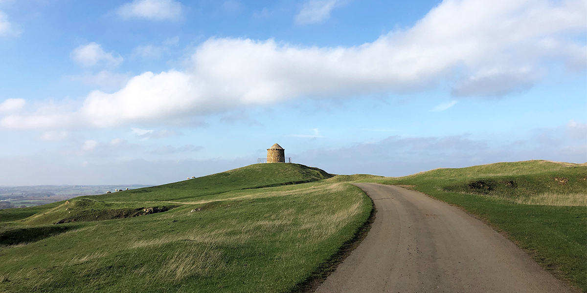
A road trip, to me, is an excursion that is primarily about travelling by road to visit lots of places – whether that be one day out visiting three or four spots, or a week travelling a long an iconic route or stopping off in a different place each night.
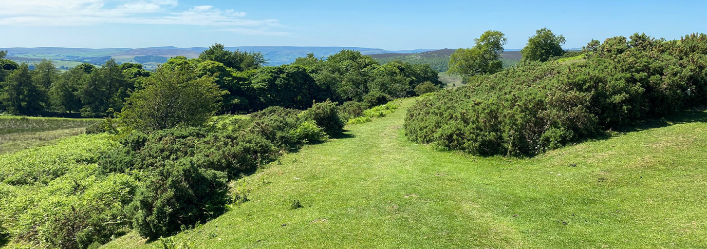
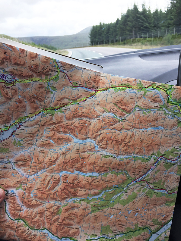
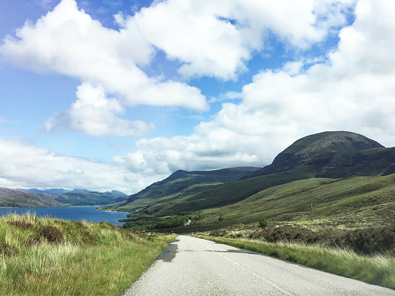
Exploring Great Britain’s nooks and crannies by car and motorcycle is by far one of my favourite ways to spend a long weekend, week, or even longer. And for those I always grab one of my favourite OS Maps – the green OS Road Maps – to plan my escape.
The little-known green maps
These little gems offer a much more useful scale to someone using an engine than the traditional orange Explorer Maps or pink Landranger Maps are.
They might be a “zoomed out” OS Map, but they include everything you need for a road trip, including primary road destinations, all kinds of roads with colour classifications, notes on ferry crossings and toll bridges, and easy-to-spot icons for National Parks, beaches, tourist spots and information.
And, because they are OS Maps, they also include contour information.
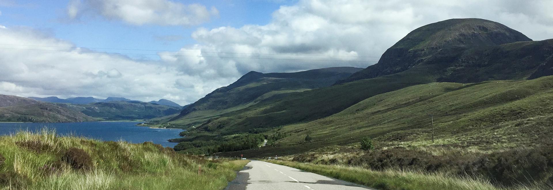
When I’m planning a road trip – such as the iconic North Coast 500 route in the very north of Scotland or something a bit more bespoke – I like nothing more than opening out a paper map on my dining table, studying it, and taking a highlighter and green fine liner to it to mark up the best looking roads, trailheads, viewpoints, and campsites.
The fact that, even though it’s scaled back in terms of what most people consider “Ordnance Survey mapping”, I still get everything I need, including contour lines and terrain shading, so I can plot the best route for my trip.
I just love to get a real sense of what my trip might look like – and work out how long I might need in any given area.
It might sound odd, but road trips for me are part of slow and mindful travel; I love to spend time enjoying road and the scenery it takes me through, stopping regularly to admire the view and learn something about the area I’m in.
The planning of road trips using paper maps might be much more time consuming and involved than using an online map of one type or another, but it’s honestly much nicer to travel a route that you’ve chosen rather than allowing your satnav to decide where you are going.
Tips for planning road trips
- Take to your dining table, lounge floor, or wherever you have space, and open out the whole map for the area you’re planning to travel. It is so much easier to see the whole area than it is to have to keep scrolling around on a computer monitor (as not many of us have a 50” monitor to play with at home!).
- Remember that not all roads are equal! Use the coloured road classifications to choose your route based on the kind of road along which you want to travel. You can very easily see if the “A road” you’re looking at is a dual or single carriageway, or even if it’s a single-track road with passing places (particularly relevant up in Scotland). And you can also notice when a B road looks much faster than an A road because it goes though fewer towns. All this means you can easily avoid long boring stretches of dual carriageway if you’re on a motorbike, or use them if you’re in a hurry between two particular points of interest.
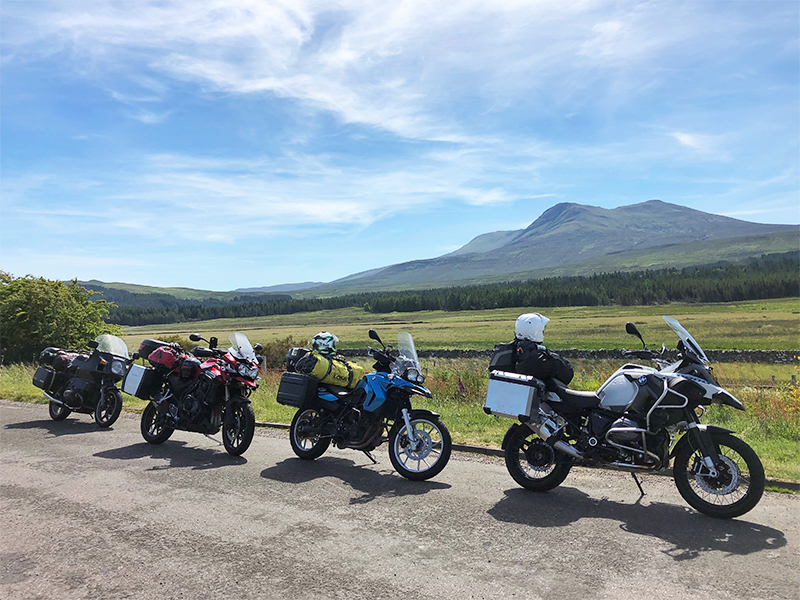
- Planning a motorcycle trip? Look for the most wiggly lines and heavily shaded areas – they’re the most fun to ride – and string those bits together with interesting tourist attractions and viewpoints. You’ll have a day out organised in no time.
- One of the benefits of planning routes electronically is that it gives you an idea of how long the miles might take. But grid lines on paper maps can do the same thing. On the OS Road Maps you’ve got 10km (6 miles) to a square, and that along with knowing exactly the type of road you’re going along means you can work out how much time you need. You might not know all the speed limits or traffic information, but you’ll be able to tell how fast you might be going based on the type of road, terrain, and how many named places you’re travelling through.
- There might not be a lot of detail for large towns and cities, but most importantly it is incredibly easy to work out how to avoid them! And if you want to head into a town, you can combine the paper map with an electronic one to find a good parking spot so you can explore the urban area on foot.
- Speaking of exploring on foot… If, like me, you like to combine road trips with short hikes, you have all the National Parks and AONBs, along with 100s of trailheads, to keep you going for days and days. And you don’t have to know about them in advance because there are right there on the map for some ad hoc hiking if you find yourself with extra time.
- If it looks like one particular part of your route is less packed with viewpoints and nice things to visit, you can plan a quick jaunt on a motorway or another faster route to get through the miles quicker on that occasion. This is also very handy if you are somewhere and the weather turns – you might not want to be on the most winding and steep route if the views are suddenly non-existent, but would much rather find something a bit wider and straighter to get to your destination.
- It is possible to navigate a whole road trip using a paper map – especially if you’re going by car and have a passenger. Don’t be afraid to draw on your map so you can quickly identify your route and stops, and then fold it up so it can easily be read either as you go along, or each time you stop. We did the whole NC500 this way and it worked an absolute treat.
- If you do prefer to navigate the road with your sat nav (if you aren’t skilled at remembering all the road numbers) – or at least want the peace of mind of having your overnight locations marked in there so you can turn to it if needed – you can plot your already planned route into your satnav (or create a gpx file to import into it). I always do this when driving or riding alone; I find this means I’m much less stressed as I might be if relying on my memory, but I equally know that the satnav isn’t going to take me a stupid way or stick to the motorways for the whole day.
Where should I road trip?!
If you’re looking for a good place to start for guaranteed amazing road tripping here in the UK, I recommend the north of Scotland (the iconic NC500 or something else – there isn’t any bad scenery up there!), or down in the South West like Devon and Cornwall where there are beaches and moorland views galore. Plus any of GB’s 15 National Parks.
And if you don’t own the OS Road Map for your local area, I would highly recommend treating yourself to one – you never know what interesting things you might find!
BEST ROAD VIEWS IN BRITAIN
SHOP OS ROAD MAPS
DRIVING HOLIDAYS IN BRITAIN