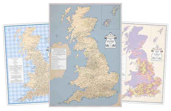
Britain has a varied and colourful history, with lots of different influences over the years. Discover why some of the cheekiest place names exist with the experts from ST&G Marvellous Maps.
Galloping Bottom! Are you sure?
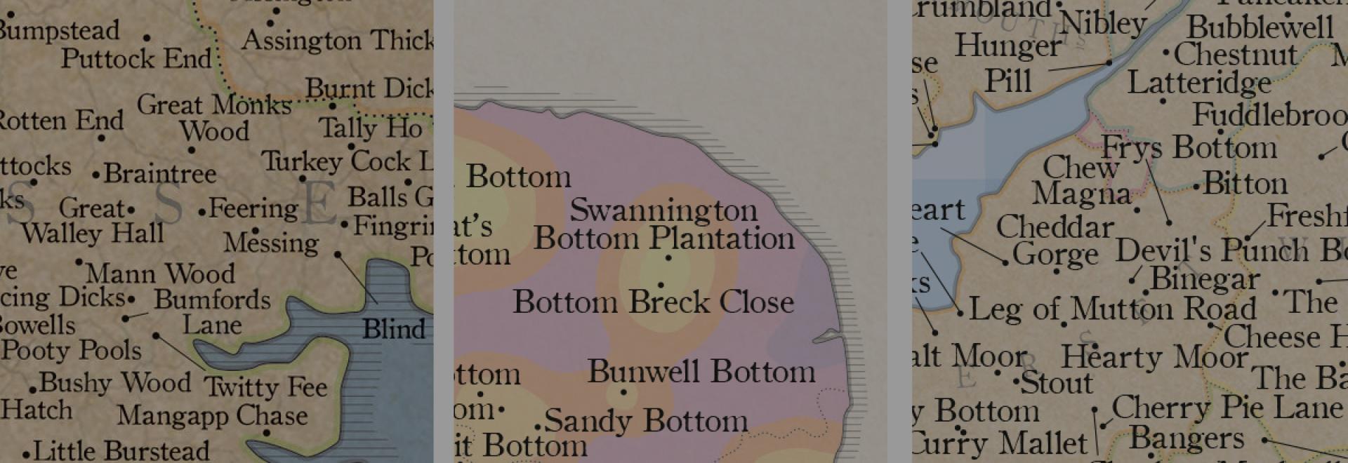
Did you know that there are several hundred place names in England involving the word ‘Bottom’. Yes, that word so beloved of the Minions (those animated movie stars, who share a name with a village in Cornwall) and children of all ages, a bottom – in geographical terms – simply derives from the Old English for broad river valley or valley floor.
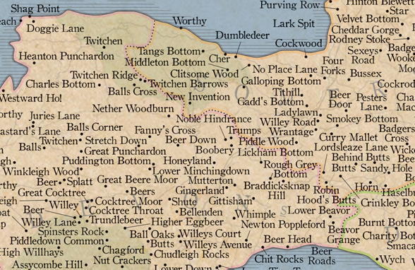
Be that as it may, such a simple, innocent derivation takes nothing away from the fact that amongst Britain’s magnificent Bottoms there are such twinkling gems:
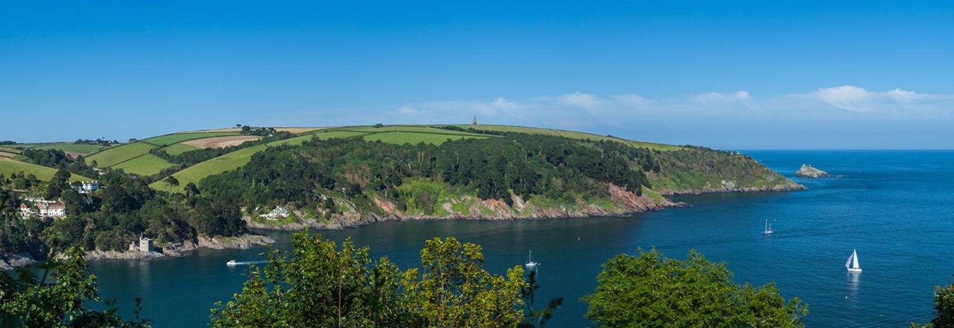
- The rather distracting Scratchy Bottom, Dorset
- The c-c-c-cold and Christmassy Winterbottom, Cheshire
- The inappropriate (without permission) Slap Bottom, Hampshire
- The aforementioned Galloping Bottom, Somerset
- The luxurious Velvet Bottom, Somerset
- The exhibitionist Flash Bottom, Staffordshire
- The fruity Strawberry Bottom, Surrey)
And if you head north of the border, all the way up to the northernmost point of the Outer Hebrides you’ll find the Butt of Lewis, which has absolutely nothing to do with valleys. But it’s a lovely shape and light does shine out of it (via the lighthouse).
Welsh Pants! Really?
In the land of Snowdonia, the Beacons and Pembrokeshire, famed for its natural splendour, it may seem curious to find so many ‘Pants’ on the map. But all we’re talking about here is… well.. exactly the same as those English Bottoms. Valleys are Pants, basically.
For example, there’s:
- The circular-sounding Pant-y-Wheel, Carmarthenshire
- The idiosyncratic Pant-y-Wacco, Flintshire
- Pant-y-Felin Road in close proximity to Pantyfallen in Glamorganshire
- The pugnacious Pant-y-Pistyll, Carmarthenshire
- And a whole drawer-ful of Pants in Montgomeryshire
And as if that weren’t enough, there’s Undy, a village in Monmouthshire.
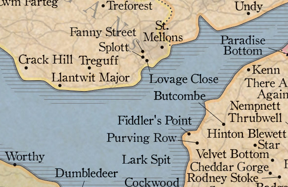
There’s no place like Twatt
Get over it, there really are two hamlets in Scotland called Twatt – one on Orkney and the other on Shetland, and much as this nomenclature might cause a little good-natured tittering, it derives innocently-enough from the old Norse for clearing or meadow. It’s effectively the same as the much more common -thwait(e) which you see in place names all over the north of England. Oh the fun they could have had..
These are just some of the toponymic delights to be found all over the map of Britain – whilst maps might not seem like the obvious place to look when you’re in need of a giggle, if you do it won’t take long before you stumble across some comedy gold. Or to save yourself the fuss, ST&G have researched this topic to within an inch of its life (mainly for their own amusement, but also so you don’t have to). The results of their forensically pedantic research are on their marvellous maps.
