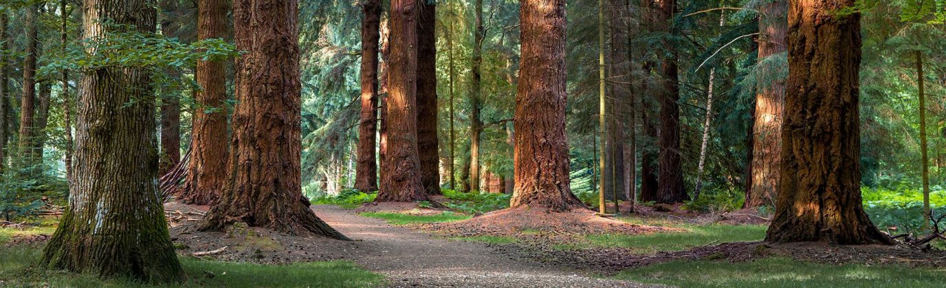
Explore new places in your local area, adventure in the UK’s National Parks, or enjoy a coastal getaway with Ordnance Survey, your essential travel companion.
Known for our iconic paper maps, walking guide books, and award-winning OS Maps App, we provide inspiration for your next UK adventure here at Get Outside. From the Shetland Isles to the South West Coast Path, you’ll find plenty of ideas for your next outdoor adventure in the UK.
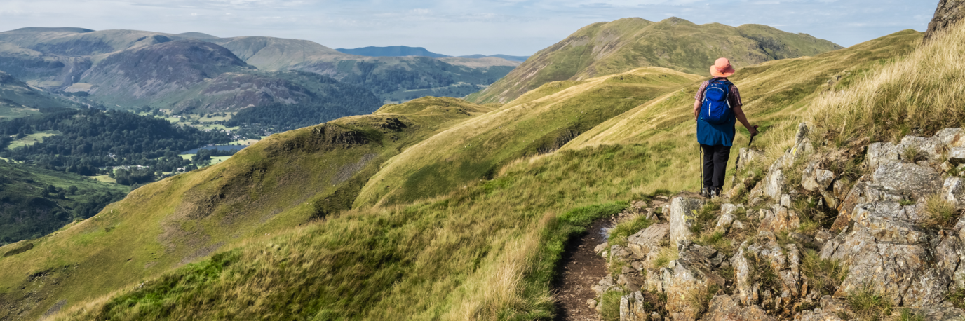
British National Parks
Our UK National Parks exist to enable everyone to enjoy getting outside into unspoilt nature and to preserve the stunning landscapes and diverse wildlife for future generations.
Choose a National Park from the list below or use the interactive map to start planning a National Park adventure.

Explore More UK Walking Routes and Inspiring Adventures
Beginner’s guide to gravel riding
Gravel riding fuses the best parts of road cycling, mountain biking and trail riding. You can ride a gravel bike on any terrain making them perfect for exploring from your front door. This guide to gravel riding will explain what it is, where to do it and how to get started.
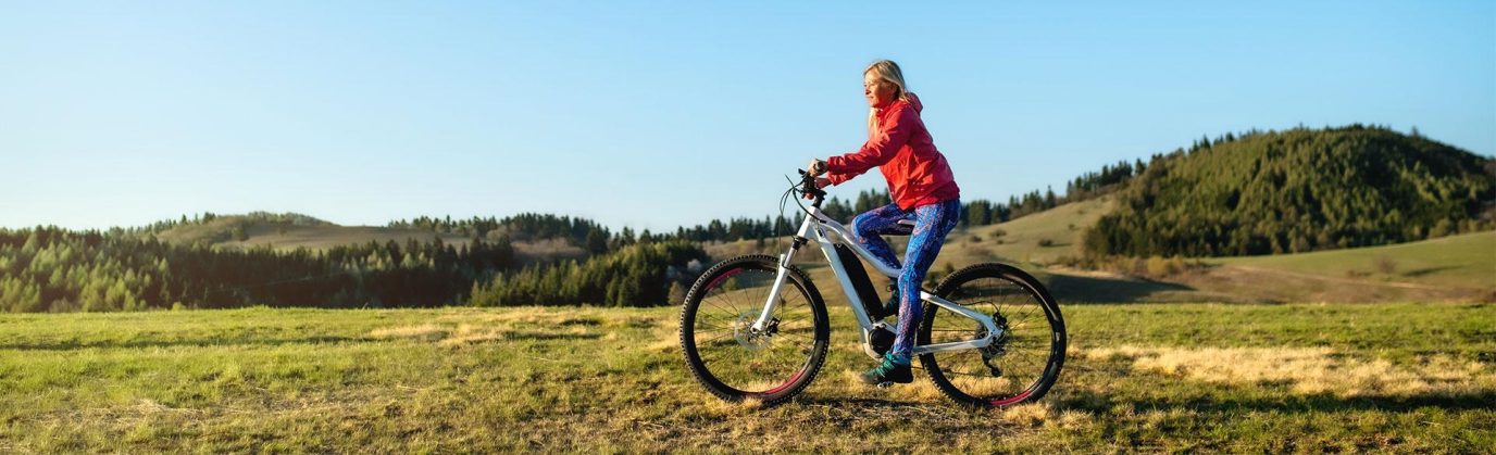
All you need to know about electric bikes (e-bikes)
OS GetOutside Champion and owner of Stage 1 Cycles, Helen Pollard, tells you everything you need to know about e-bikes and how they can help you save money, become fitter, more sustainable and cover more ground.
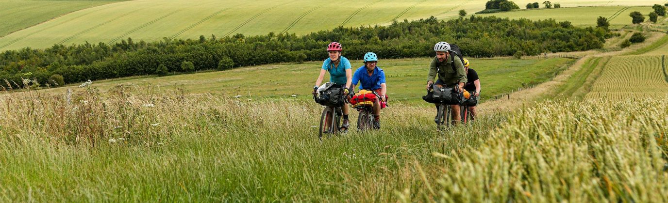
10 best British long-distance cycle routes
If you’re looking for an epic bikepacking or cycle touring trip, we have just the adventure for you! Sam Jones from Cycling UK shares with us his favourite long-distance cycle routes in Great Britain for both on and off-road adventures.
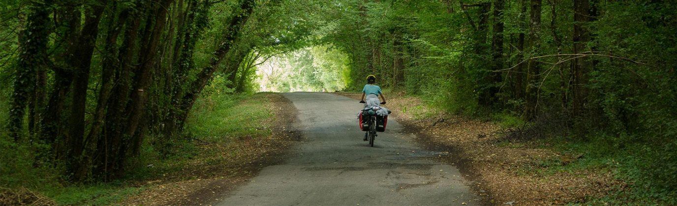
Beginner’s guide to cycle touring
Travelling by bike guarantees a fantastic adventure and allows you to discover much more than your regular holiday. This beginner’s guide to cycle touring will explain what it is and how to do it.
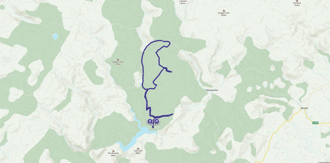
Llyn Brianne reservoir ride
Llyn Brianne is a spectacular reservoir nestled in the Doethie Valley, Mid Wales surround by the beautiful Tywi Forest. It was named after a stream Nant y Bryniau, which in English translates stream in the hills. This picturesque body of water is the head of the River Tywi.
Public Rights of Way
Did you know, OS show over 220,000 km of public rights of way on our maps? Approximately 170,000 km of these are footpaths and 40,000 km are bridleways. Over 4,600 km are National Trails and 30,900 km are recreational routes!
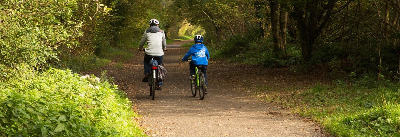
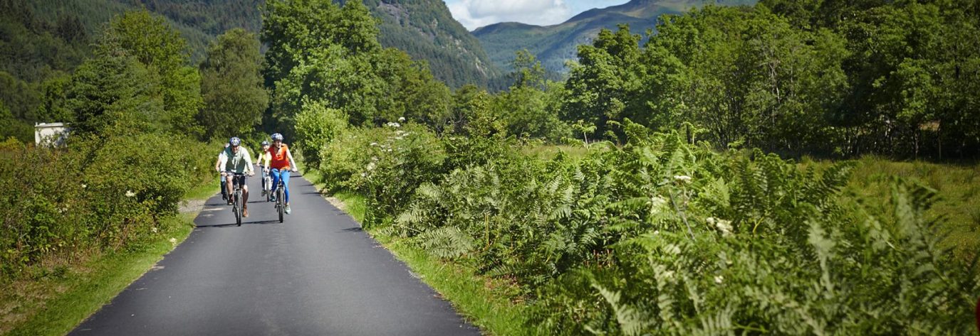
How to find easy walking and cycling routes
If you prefer traffic-free cycling routes, need a footpath that’s stile-free so you can walk with a pram or are looking for a route suitable for a wheelchair, former railway lines can be the ideal solution.
What is a GPX file?
In any discussion of routes, navigation or GPS devices, you have probably seen people mentioning ‘GPX files’. GPX is shorthand for GPS eXchange Format and is a type of file that’s really helpful to anyone who loves the outdoors, plus it’s the most popular way of saving and exchanging routes.
Considerate cycling
There’s been a sudden surge in interest in cycling recently, which is great! But like all users of the outdoors, cyclists need to be aware of their responsibilities too. Read on for what you can do…

EXPLORE THE
OS Shop
We are with you every step of the way. Shop our trusted walking and hiking maps and guidebooks so you can explore the outdoors with confidence.
Go to the shop