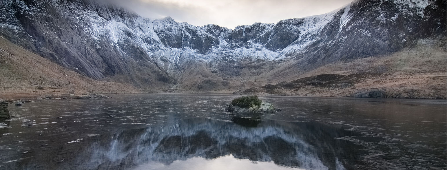
Eryri National Park (Snowdonia) in North Wales contains Yr Wyddfa (Snowdon) which at 1085 m (3560 ft.) is the highest mountain in England and Wales. You will also find the Glyderau, Carneddau and many more iconic Welsh mountain ranges. Eryri National Park is home to the largest lake in Wales, Llyn Tegid (Bala Lake) plus countless other lakes, waterfalls and some of the most beautiful peaks and paths to explore in the whole of the UK.

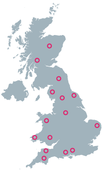
Where is Eryri (Snowdonia) National Park?
As well as walking in Eryri, you can also enjoy indoor and outdoor climbing, horse riding, water sports, paddle boarding and fishing. Head over to our OS Maps App to explore 1000’s of running, cycling and hiking routes in Eryri.
Top Eryri National Park (Snowdonia) articles
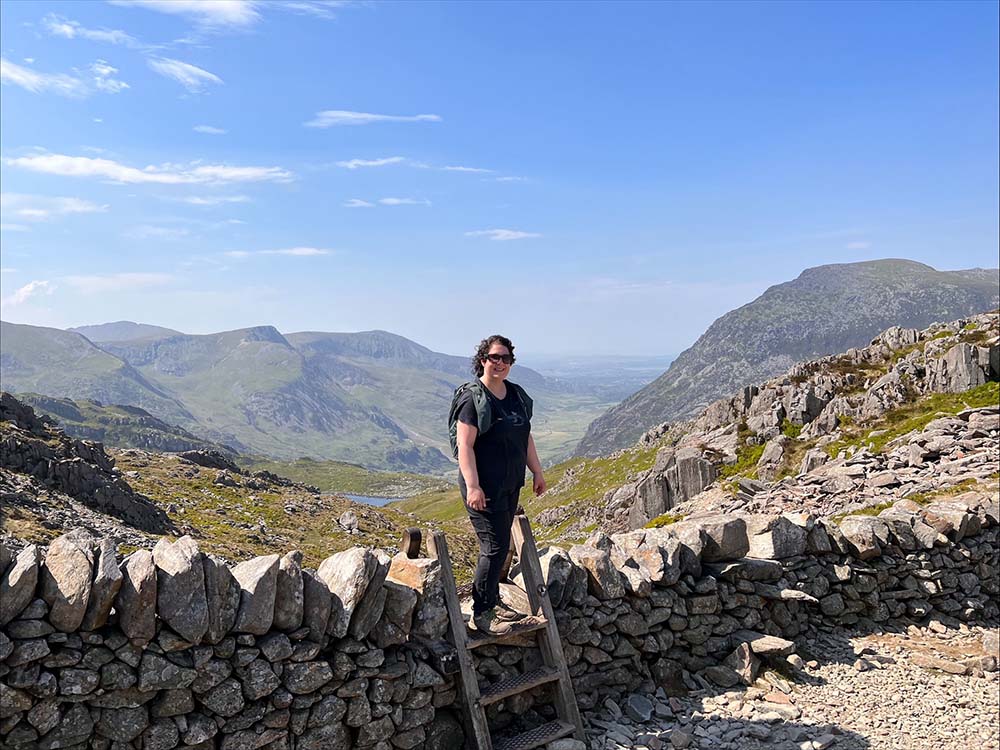
Yr Wyddfa (Snowdon): Routes to the top
There are many routes to the top of Snowdon (in Welsh ‘Yr Wyddfa’) with some big paths that can get crowded and some lesser-trodden trails. Here’s all you need to know about the routes up Snowdon.
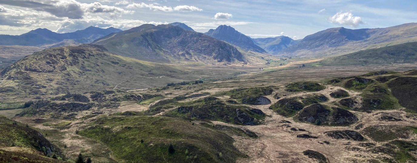
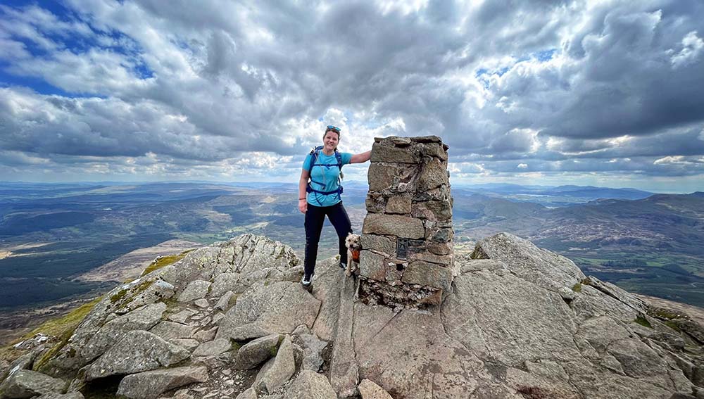
Best Beginner Hikes in Eryri (Snowdonia)
Beginner hikes in Eryri! Hilary Pullen, North Walian and Editor of Get Outside has picked some great beginner hikes to try in Snowdonia!
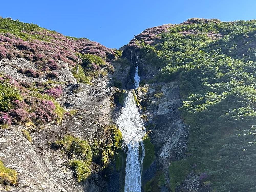
Exploring Waterfalls with the Suunto Race S
Lisa explores a beautiful waterfall route in North Wales while reviewing the new Suunto Race S GPS watch.
A Few Eryri (Snowdonia) FAQ’s
The anglicised name is Snowdonia however since 2022 the National Park has been officially known by it’s Welsh name Eryri.
Eryri is pronounced eh·ruh·ree and is thought to come from a latin word meaning to rise. You can find more about the names of mountains in Wales, as well as lots of fascinating information about how welsh place names evolve here – Welsh Place Names and their History.
The town was excluded because of the extensive slate quarry industry surrounding it, much of Llanberis is also excluded for the same reason despite being one of the most well known towns in this mountainous area.
Many people do wild camp but the rules are actually quite different in England and Wales than they are in Scotland. We have created an in depth blog post which explains all of the complexities of the legality of wild camping in the UK. Read – Is it legal to wild camp in Wales?
The Welsh 3000’s is a challenge to hike up all 15 of the peaks in Eryri over 3000ft within 24hrs. Many people decide to take a more leisurely approach to walking all 15 but you’ll often see people using this challenge as a great way to raise awareness and fundraise for charity.
Top Eryri National Park (Snowdonia) Routes
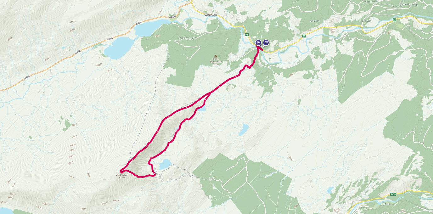
Moel Siabod Circular walk
Follow this medium difficulty walking route up Moel Siabod in Snowdonia with brilliant views from the summit
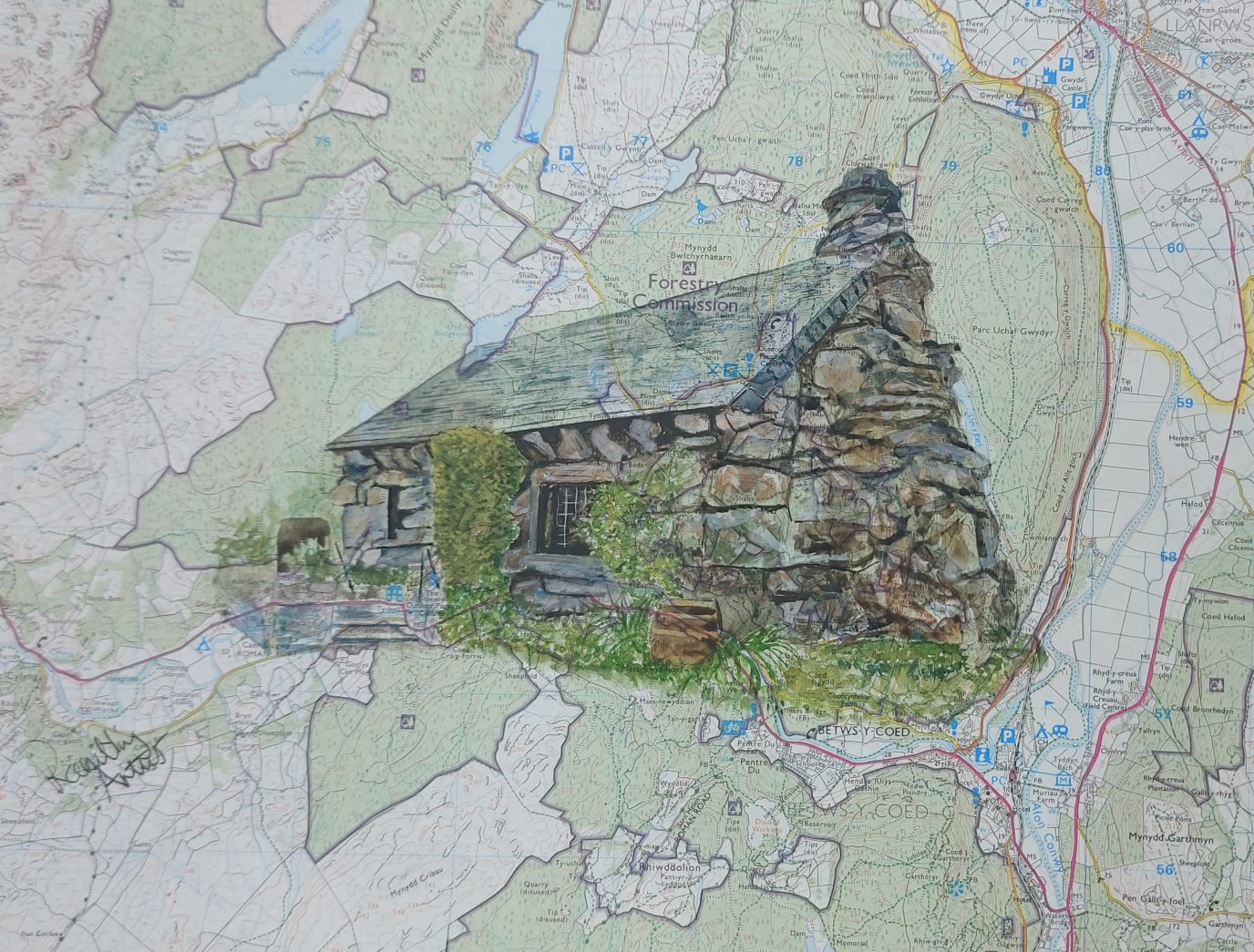
Moel Eilio Route Guide with The Rambling Artist
Moel Eilio, a small peak in the Carneddau mountain range of Eryri, Snowdonia. The route is bought to us by Sharon Whitely, The Rambling Artist
Cwm Tryfan Circular Walk – Ogwen Valley
Cwm Tryfan Circular Walk in the Ogwen Valley, perfect for short days or with kids
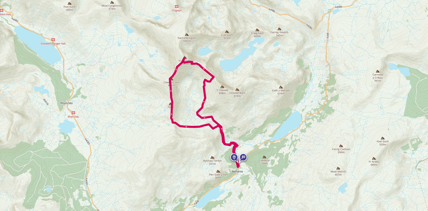
Moel Siabod via Daear Ddu Ridge
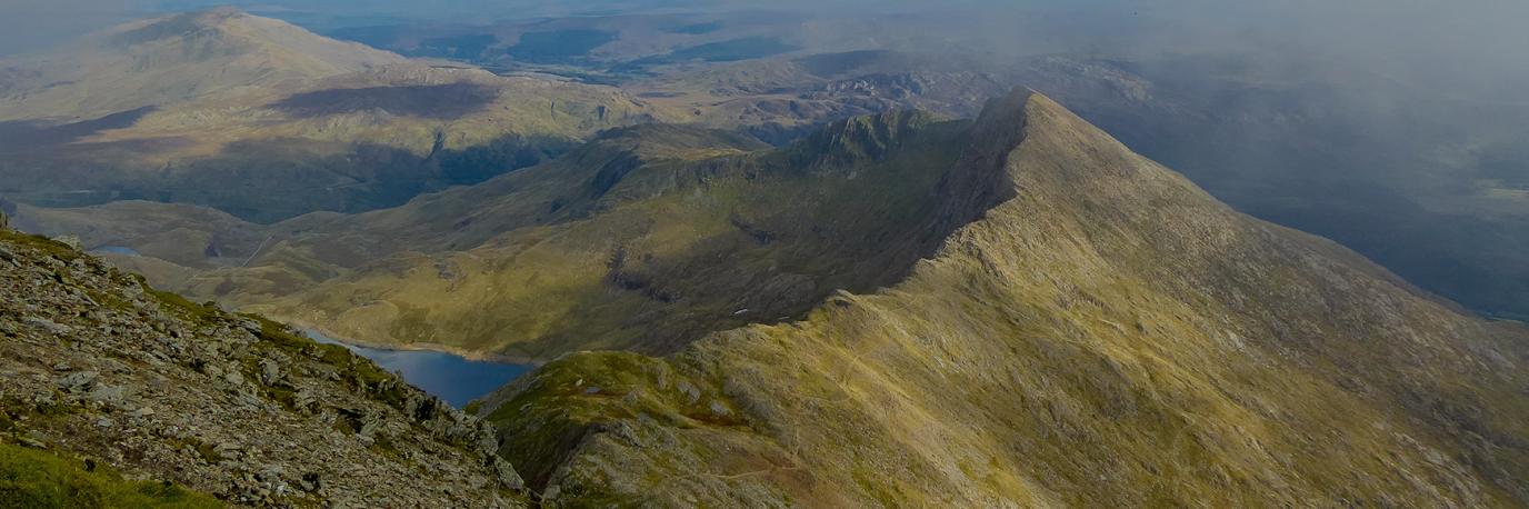
Moel Siabod via Daear Ddu Ridge Route Guide- the only summit that you can see 13 of the 14 Welsh 3000’s from!
Tackling the Snowdon Summit via the Watkin Path and South Ridge
Get the sense of adventure and solitude and see many aspects of Snowdon across the day. You’ll see amazing waterfalls, rocks, old settlements, ridge lines and of course, the famous summit trig pillar!
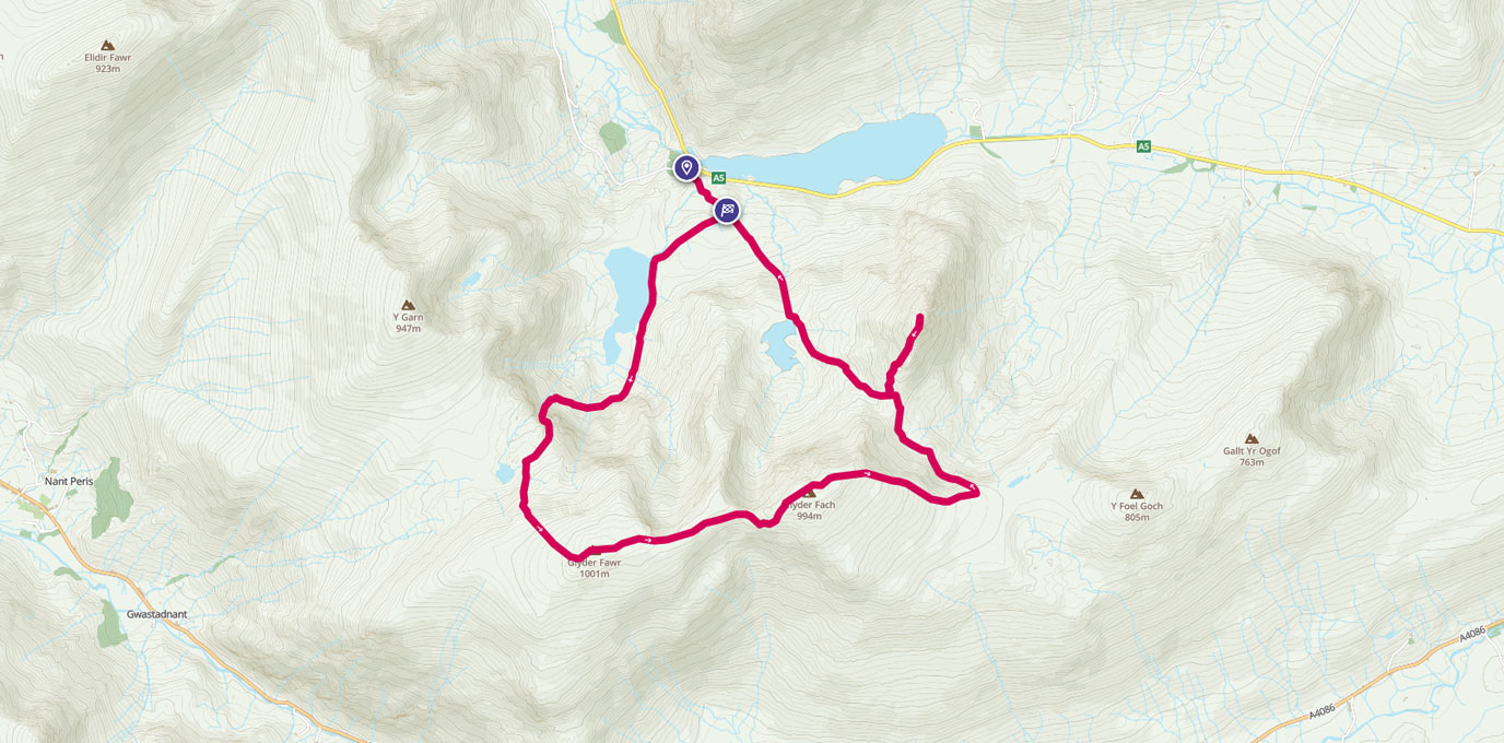
Glyderau Circular Walk Including Tryfan
Where else can you go where you can bag 3 of the huge Welsh 3,000 foot peaks, visit places called The Canon, Cantilever Stone, Devils Kitchen or the magnificently titled Castle of the Wind, enjoy an ending worthy of any Hollywood blockbuster and all this and never be further than 1.5 miles away from the car park.

EXPLORE THE
OS Shop
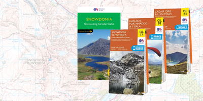
We are with you every step of the way. Shop our trusted walking and hiking maps and guidebooks so you can explore the outdoors with confidence.
Go to the shop