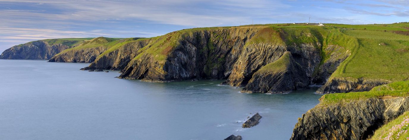
Pembrokeshire National Park is Britain’s only coastal national park – 1585 Square km (612 sq. miles) worth of stunning natural beauty. Thriving with the colours of the bright turquoise sea, the rich golden sands and the stunning greenery of the coastal countryside, this National Park is exceptionally breath-taking. The park boundaries not only include almost every inch of the Pembrokeshire coast but also boasts the beautiful offshore islands which protrude out into the Irish Sea.
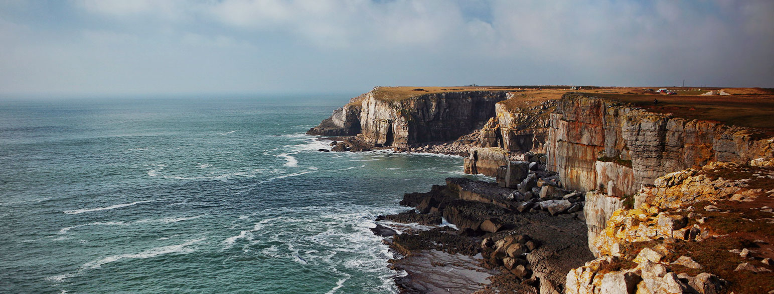
The National Park is home to a section of the worlds’ first full coastal path – the Wales Coast Path. The Pembrokeshire Coast Path joins to form part of the full 1400 km (870 mile) long trail which stretches uninterrupted across the entirety of the national coast. No-where in the national park is any more than 10 miles from the ocean and it offers a paradise for surfers, sailors and water sports enthusiasts.