Your Guide to Exploring the Peak District National Park with Ordnance Survey
The Peak District National Park is the oldest of our 15 National Parks in the UK and was created in April 1951. Here you will find Peak District route guides and adventures to inspire your own exploration of this beautiful area. Ordnance Survey are the mapping experts and we have everything you need to safely explore the Peak District.
Where is the Peak District National Park?
The Peak District is located in the North West and East Midlands of England, nestled between Manchester, Sheffield, and Derby. It’s easily accessible from these major cities, making it one of the most visited national parks in the UK.


The Peak District is in the heart of England, it covers an area of 555 square miles across 5 different counties; Derbyshire, Cheshire, Staffordshire, Yorkshire and Greater Manchester.
You can find 1000’s of great hiking, cycling, running and paddling routes in the Peak District on OS Maps – Peak District Best Routes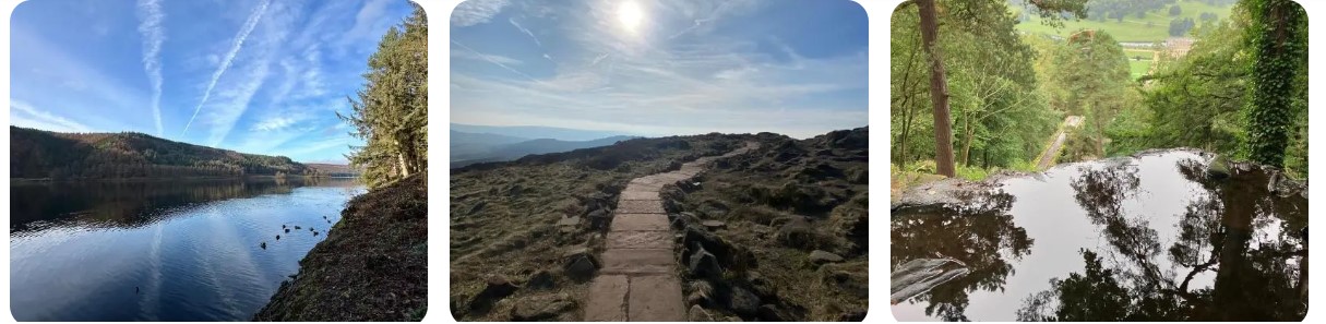
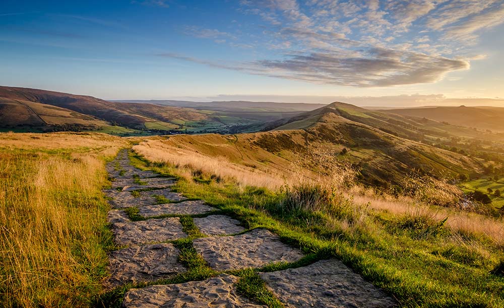
There are lots of scenic hills, rivers, and high moorlands which create unique wildlife habitats. The sedimentary rocks that make up most of the area are soft and easily worn away by water, which has led to some stunning caving opportunities, the most famous of which is probably the Blue John Cavern.
Despite the name, there are in fact just two mountains as all the others are classed as hills – Kinder Scout and Bleaklow Head. Kinder Scout Is the highest official mountain in Derbyshire and the Peak District at 2,086 ft (636 meters). The Peak District also has many other hills, including:
Black Edge, Hollins Hill, Chrome Hill, High Wheeldon, Bradwell Moor, Eldon Hill, Chelmorton Hill, Axe Edge Moor, Shutlingsloe, and The Roaches to name a few.
There are so many Peak District Walks to choose from, we’ve selected the best beginer hikes in the Peak District in this useful guide – Best Hikes For Beginners in the Peak District
With only 2 official mountains it’s hard to understand why this area is know as the Peak District. It’s thought that ‘Peak’ actually comes from Pecsaetan which were an Anglo-Saxon tribe which settled there.
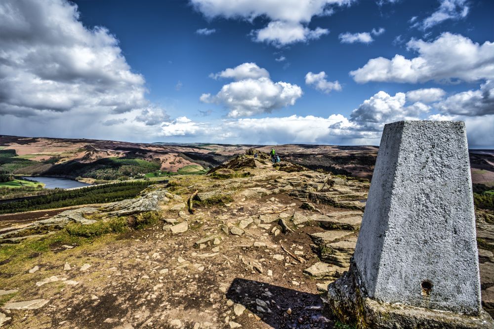
There are 88 Trig Points within or on the boundary of the Peak District National Park.
Find out more about the Peak District National Park
Read our archive of articles about the Peak District and route collections to inspire your next walk
Best Hikes in the Peak District for Beginners
A few of the best hikes in the Peak District for you to try if you are new to hiking and want something that’s easy to follow and not too long!
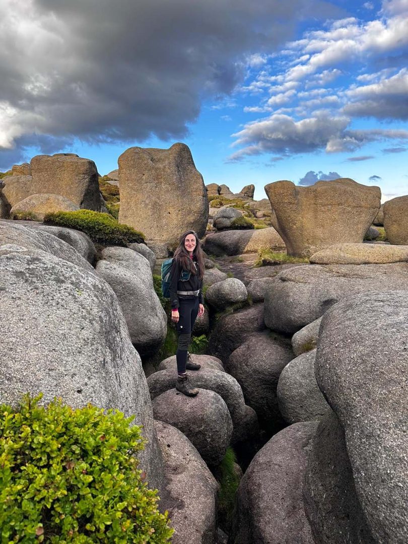
Kinder Scout Walks – Expert Route Guides
Kinder Scout – discover 15 great routes up this iconic Peak District mountain. Meet Sarah Lister, author of this must have guide to Kinder Scout.
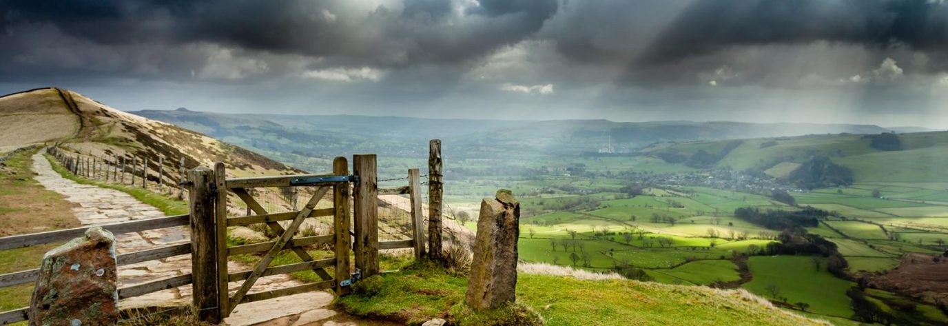
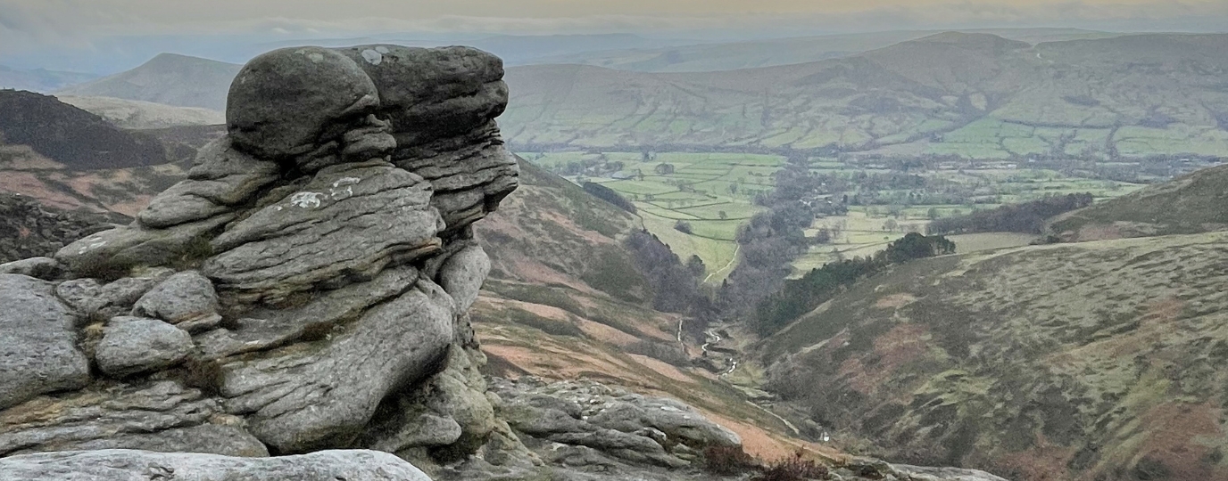
3 of the Best Walks Around Dark Peak
The Dark Peak is home to some of the most iconic views in the Peak District. Discover 3 of the best, and follow the routes when you’re out.
Peak District National Park Routes
Find in depth peak District Route Guides for hiking and walking in this beautiful area of the North of England
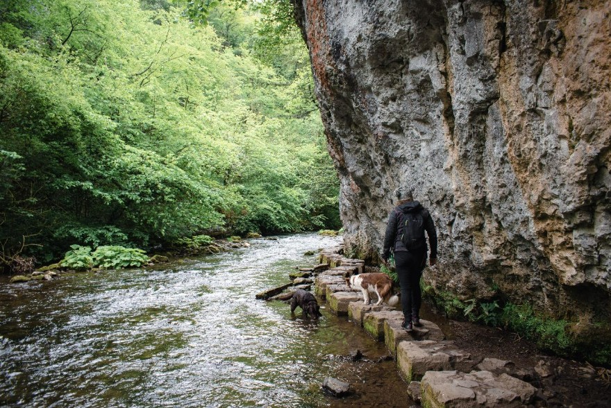
Chee Dale Stepping Stones Circular Walk
Chee Dale Stepping Stones: Lush, green, rolling countryside, a 200ft craggy limestone gorge, an abandoned quarry & historical lime kilns
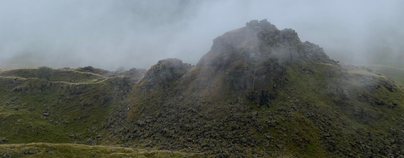
Alport Castles Circular Route – High Peak
A circular walk to the impressive Alport Castles with its towers of rocks almost precariously standing tall in the valley
Kinder Plateau Circular Walk- Peak District
Kinder Plateau Circular: A challenging and highly rewarding 19 mile route around the entire Kinder Plateau from Edale.
Explore More of our National Parks


EXPLORE THE
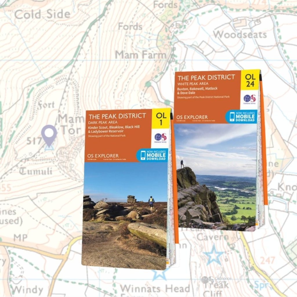
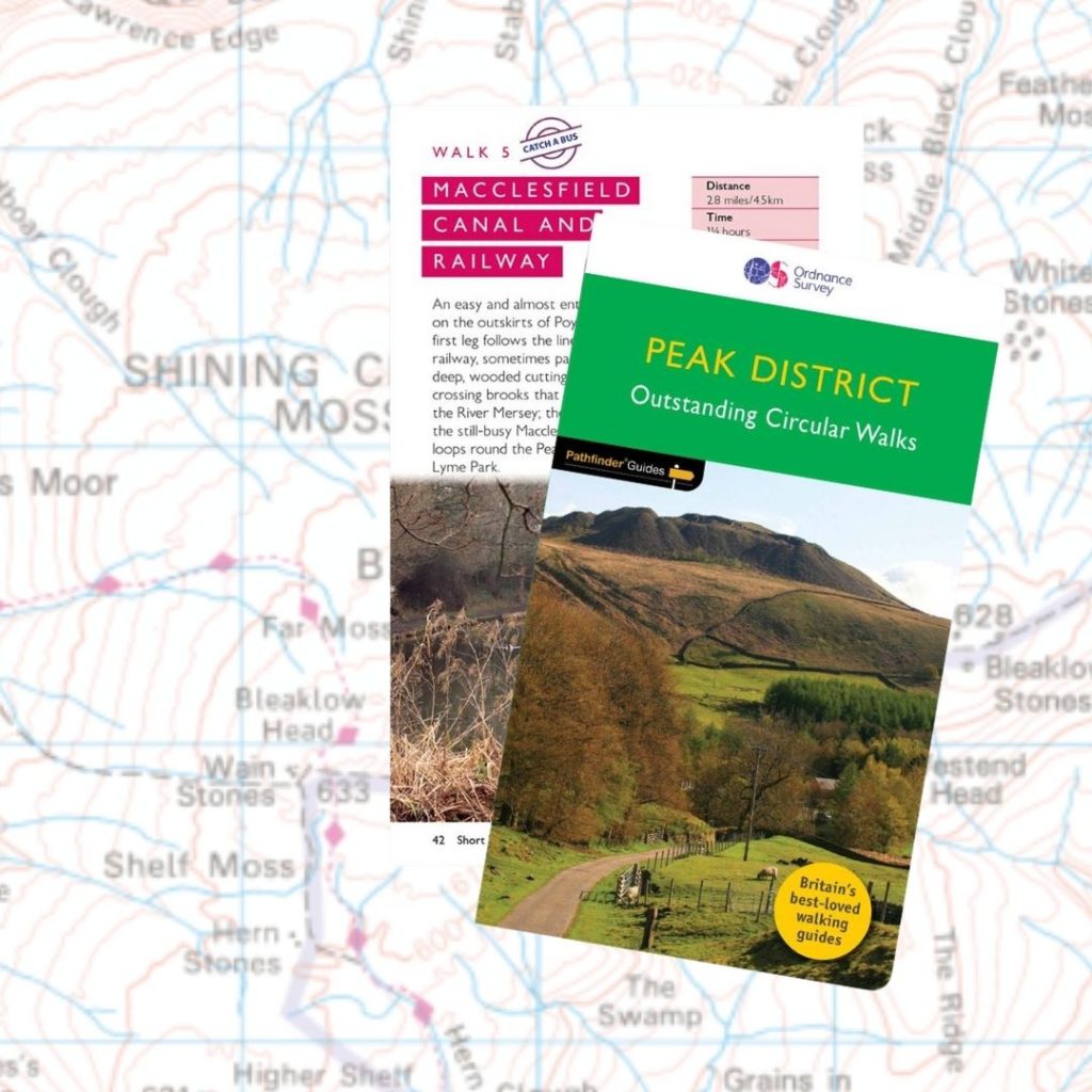
OS Shop
We are with you every step of the way. Shop our trusted walking and hiking maps and guidebooks so you can explore the outdoors with confidence.
Go to the shop
