Article filter
Top tips to get children using paper maps
Find top tips on how to teach children to map read and make it fun with ‘Get Out With The Kids’.
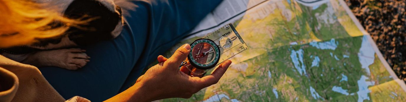
Which compass is best for me?
In some sense, all compasses do the same job but not everyone uses them for the same purpose. There are many different models with variations in features, accuracy and functionality. We take a look at some of the best on the market to help you decide which compass is right for you.
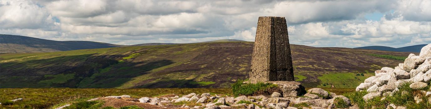
What is a Trig Pillar or Trig Point ?
The trig pillar was first used in the retriangulation of Great Britain on 18 April 1936. With over 6500 built, they were vital in map making. Here’s everything you need to know about trig pillars including 10 great trig point walks.
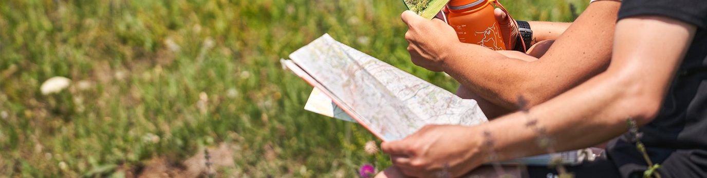
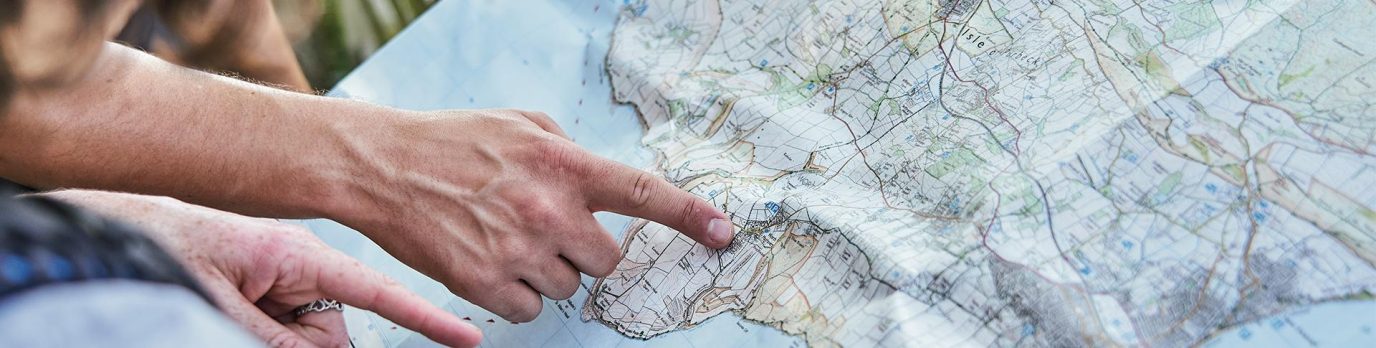
An Advanced Guide to Measuring Distance
Enhance your navigation skills and confidence with our advanced guide on how to calculate and measure distance on a map.
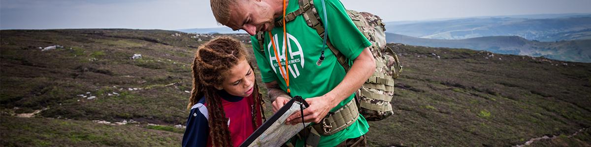
Map Reading Skills for Children
Find out how to get children reading maps and encourage them to improve their navigational skills. Our guides will show you how to make map reading for kids of all ages both fun and educational.

Advanced navigation for poor visibility
When you’re walking, running or climbing at night or in poor visibility, things don’t always go as planned. This advanced map reading guide offers expert advice on how to find your location and never be lost again.

Advanced guide to finding your exact location
Pinpointing your location is a fantastic skill to have whilst out on an outdoor adventure as you can use your surroundings to find your exact location on a map. Follow this fantastic guide to become an advanced navigator and learn how find your exact location when you don’t know where you are.
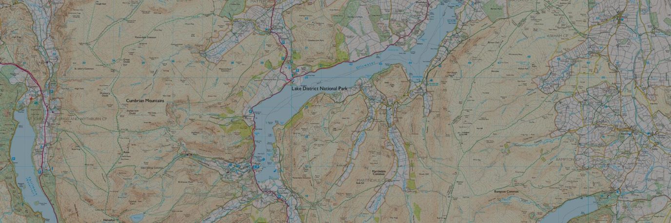
A Beginner’s Guide to OS Map Symbols
This simple map reading guide explains every map symbol on an OS Explorer map (1: 25 000 scale), most popular for walking and cycling. Learn what each map symbol represents on the ground and how you can find points of interest, access land and public rights of way to make the most of your time outside.
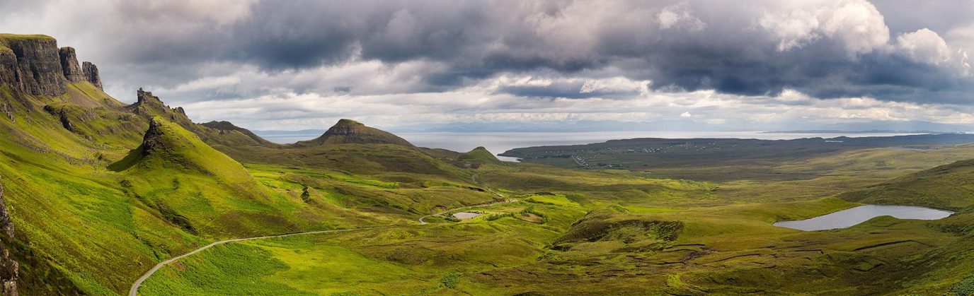
Advanced guide to reading contours and relief
Understanding contour lines and relief on a map is essential for safe planning and navigation across the varied terrain you may encounter on your outdoor adventures. This guide explain all you need to know about contours and help you read valley and ridge contour lines, slopes and spurs on an OS Map map.