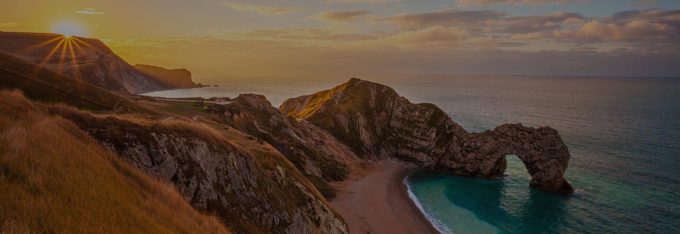
What is a Microadventure?
A microadventure is an exciting, bite-sized outdoor experience that fits into your everyday life. The term was brought to life by British adventurer Alastair Humphreys in his inspiring 2011 book, A Year of Microadventures. He defines microadventure as “an overnight outdoor adventure that is small and achievable, for normal people with real lives,” making the call to adventure accessible to everyone.

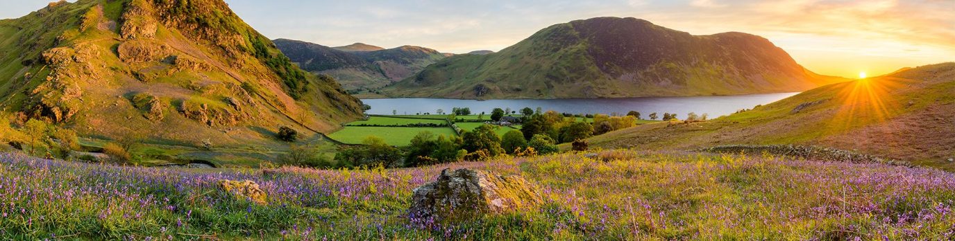
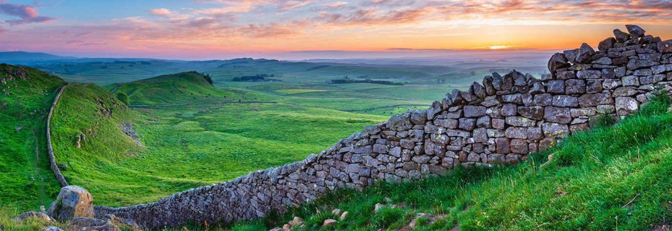
These adventures are all about shaking off the routine, getting outside into nature, and finding joy and excitement close to home. While you don’t have to camp out to call it a microadventure, spending a night under the stars definitely adds to the enjoyment.
Tailor your own microadventures to be as unique as you and your family are. With the OS Maps app and our trusted paper maps, plotting your next mini-getaway or an unforgettable OS Weekender is easy.
🧭15 Microadventure Ideas To Try This Weekend
Each of these ideas includes a way you can use OS Maps or one of our paper maps to plan, navigate, and enhance your mini adventure. If you want any help learning how to use both paper maps, our OS Maps App and becoming more confident navigating in less popular areas head to our Ordnance Survey Knowledge Hub which is packed full of really practical advice on map reading, navigation and how to stay safe outdoors.

EXPLORE THE
OS Shop
We are with you every step of the way. Shop our trusted walking and hiking maps and guidebooks so you can explore the outdoors with confidence.
Go to the shop1. Sunset Summit Challenge
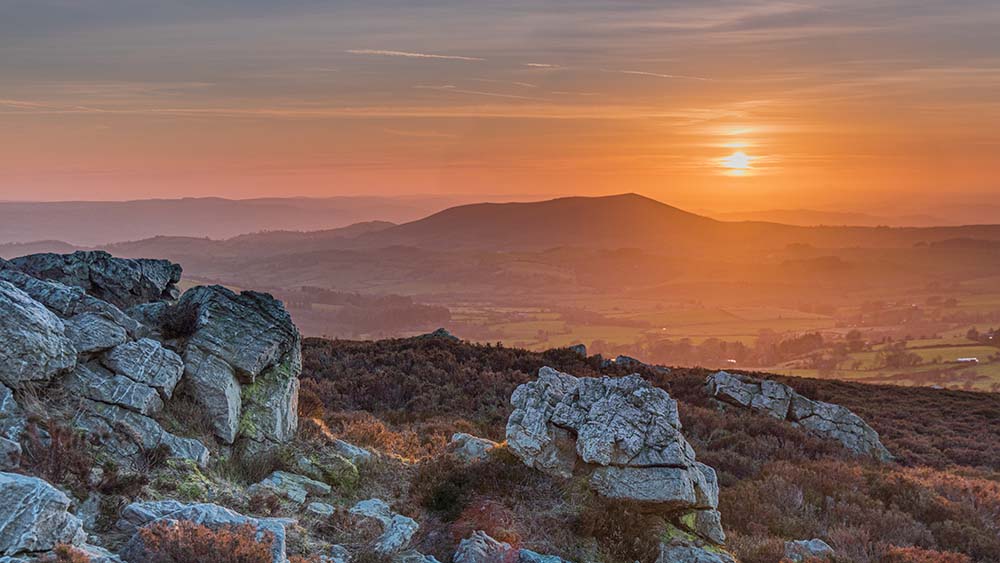
Pick a local hill or viewpoint and hike up in time for sunset, you can find a guide to sunset times here – Sunset & Sunrise Times. It’s a simple way to turn an ordinary walk into something magical.
OS Maps Tip: Use elevation profiles in OS Maps to find the perfect peak, even if in a flat area you can use OS Maps to help find places where contours are closest – read our guide to contour lines for help with this. You can also look out for viewpoint symbols.

2. Cycle to a New Town for Breakfast
Set off early and cycle to a nearby town or village you’ve never visited. Enjoy breakfast at a local café, then head home. The further you ride the better the breakfast!
OS Map Tip: Use the National Cycle Network layer to plan a safe and scenic route.
3. Try a Night Navigation Walk
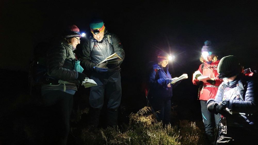
Challenge yourself with a short nightime walk using only a paper OS Map and compass. It’s a great way to build confidence and learn new skills. Explore our Outdoors Knowledge Hub for beginners guides to navigating at night.
OS Map Tip: If you don’t have a paper map, plan your route in OS Maps, then print it out – make sure you are fully prepared with all the right equipment for the terrain and conditions.
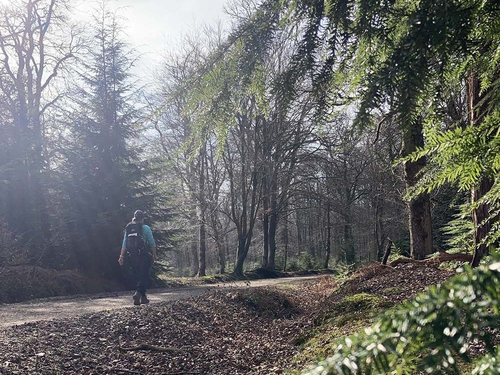
4. Take Your Dog on a New Adventure
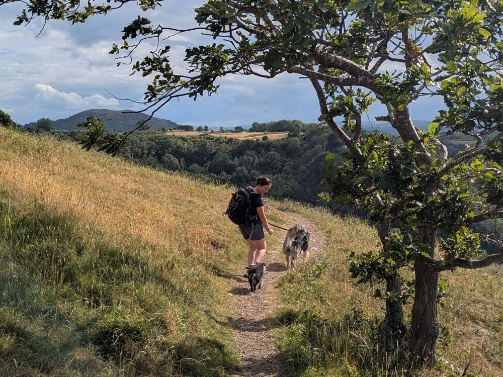
The same few dog walks can get very boring, especially if it’s just plodding round the block a few times a day. Explore a dog-friendly path you’ve never walked before this weekend. Look for rivers, woods, or open fields, your dog will love it. Always make sure your dog is on a lead if there is livestock near.
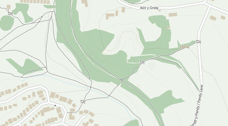
OS Map Tip: Filter routes by difficulty to suit your dog’s needs. We also now include stiles on our standard mapping (not topographic) so you can find accessible routes for dogs that can’t get over stiles by themselves. The style symbol can be seen in 4 places on the map above.
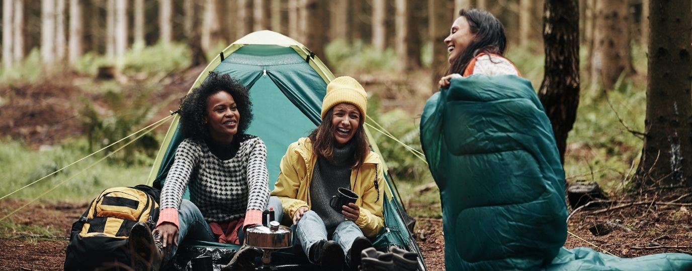
5. Camp Out in Your Garden or Local Woods
Sleeping outside is fun, even if it’s just in your garden or a nearby woodland with permission. If you have young kids it’s a great way to have a night away from their screens at no expense (apart from a few snacks!). Camping in your garden is also the ideal way to test your camping set up properly before heading off on longer adventures. Use OS Maps to find local woodlands or legal wild camping spots nearby. Remember wherever you camp you must leave no trace.
OS Map Tip: Look for the tree symbols to find your nearest woodland.
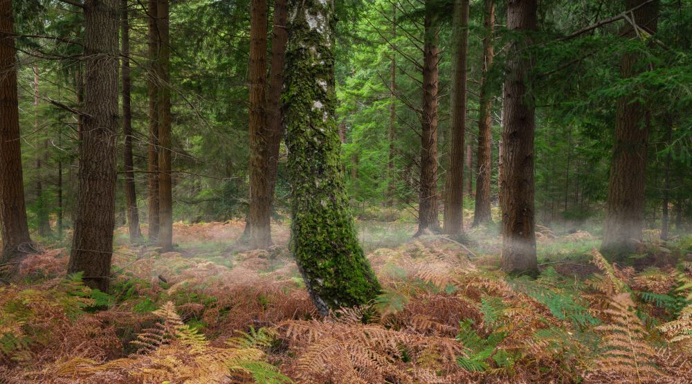
6. Forest Bathing or Mindful Walk
Slow down and immerse yourself in nature. Choose a quiet woodland route and focus on your senses — sights, sounds, and smells. It’s proven to help calm your stress levels!
OS Map Tip: Go to ‘Routes’ and use the walking filter, distance filters and user reviews to find peaceful paths in your local woodland.
7. Create Your Own Local Landmark Tour
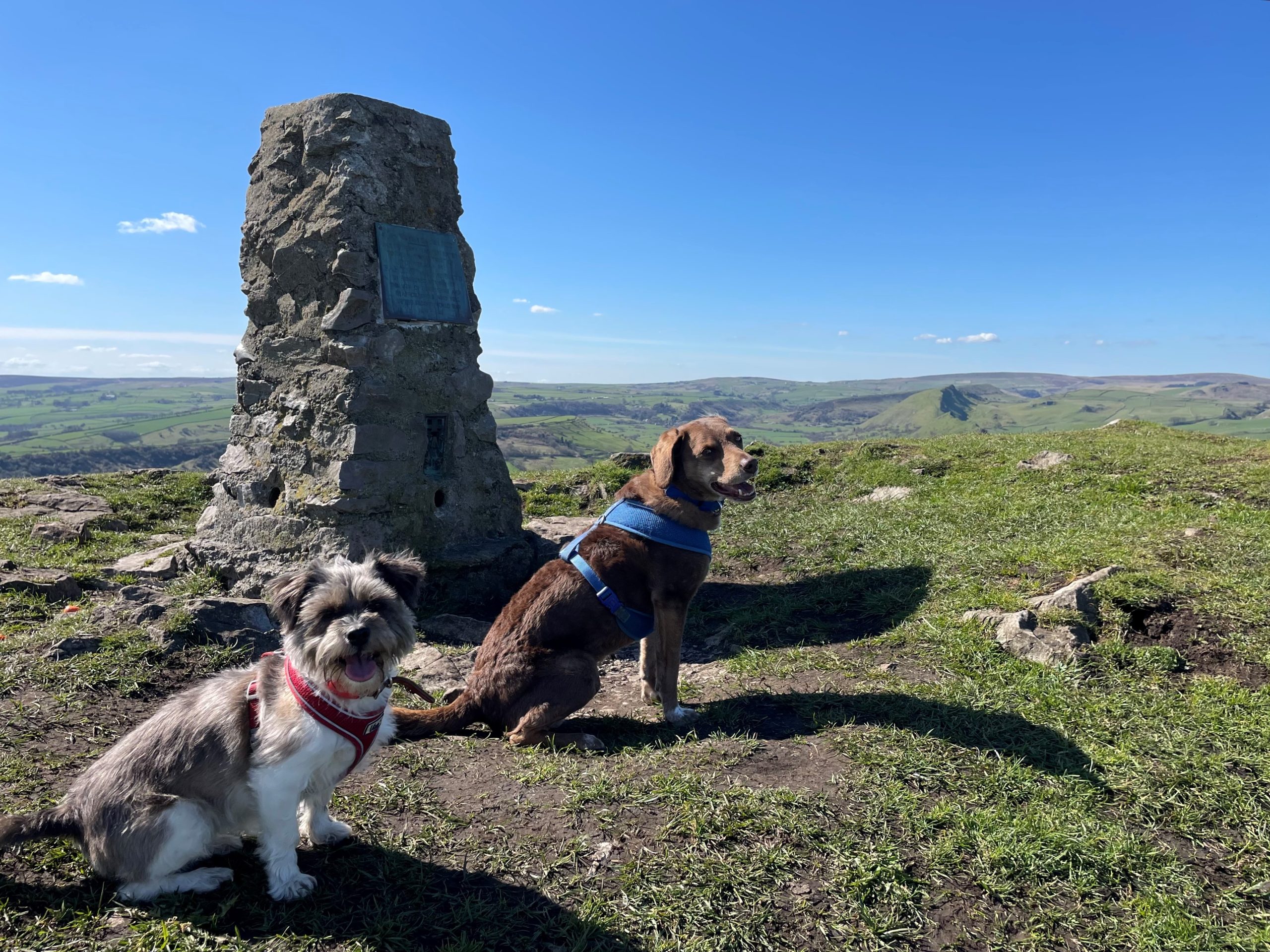
Use OS Maps to identify historical landmarks, trig points, or natural features near you. Plan a route that connects them all for a themed adventure.
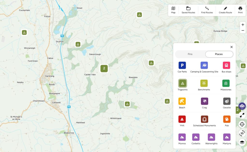
OS Map Tip: Use the Places layer to discover trig points near you (use the feature when browsing on your desktop)
8. Stargazing Night Out
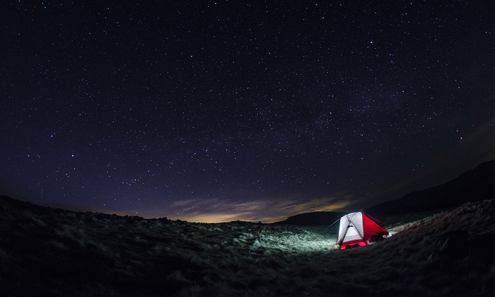
Find a dark sky location near you and head out with a blanket and thermos. Use OS Maps to locate remote areas away from light pollution.
OS Map Tip: Look for areas with minimal road networks to avoid as much light pollution as possible.
9. Cold Water Dip Challenge
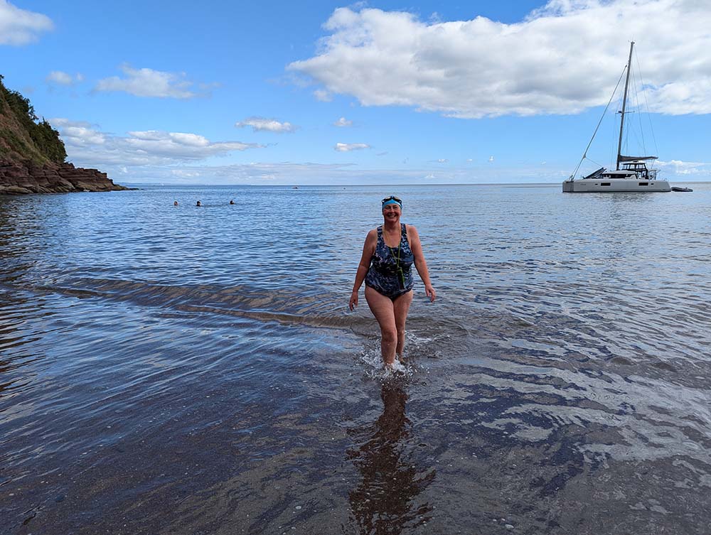
Try a cold water swim in a river, lake, or the sea. It’s invigorating and proven to be good for your mind and body. Read our tips on safe cold water swimming, it can be dangerous if you don’t follow some of the basic advice. Use OS Maps to find safe access points and nearby facilities.
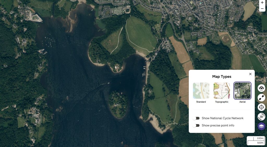
OS Map Tip: Use aerial view on OS Maps to scout out safe entry points, nearby facilities and paths.
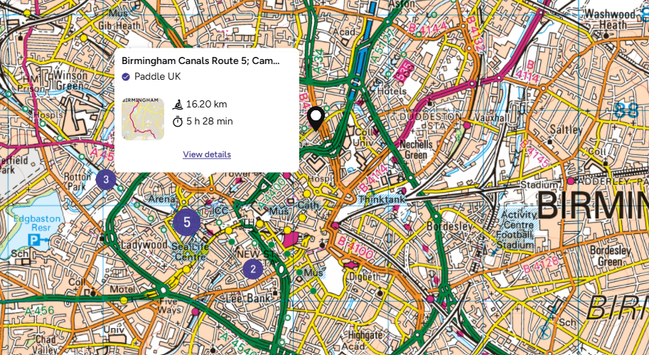
10. Paddleboard, Canoe or Kayak a Local Waterway
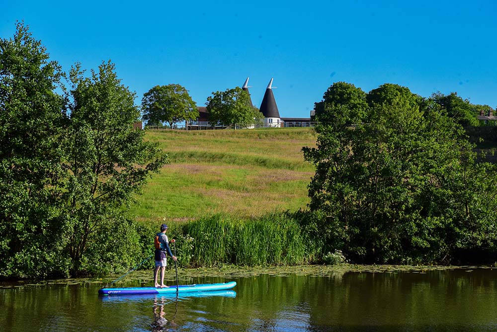
Rent a paddleboard, canoe or kayak and explore a nearby river or canal. OS Maps can help identify launch points and track your route.
OS Map Tip: Use the Paddle Sports filter when looking for ready made paddle routes
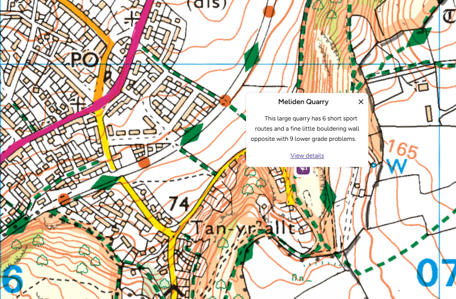
11. Try Bouldering or Scrambling
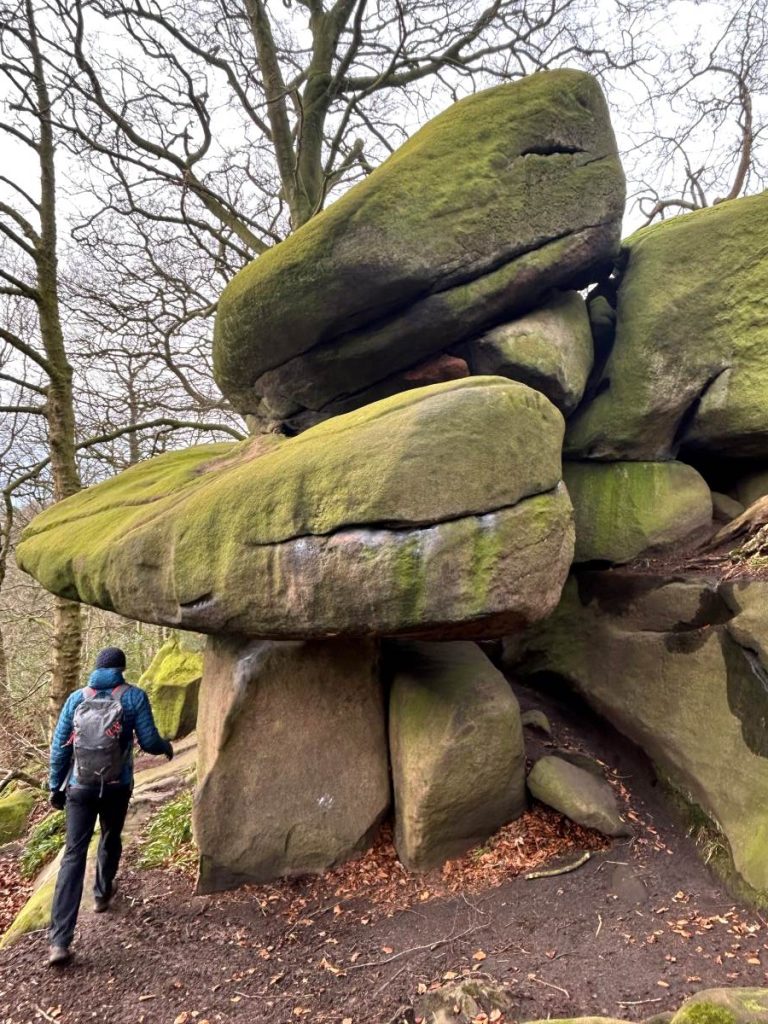
Seek out natural rock formations or low crags for a beginner-friendly climbing experience. Use OS Maps to find terrain features and elevation. Take a beginner course in bouldering and scrambling if you’re unconfident and ask the instructor for recommendations of places to try your new skills.
OS Map Tip: Look for contour lines and rocky terrain on Explorer maps and use the Crag overlay in places to discover places to climb.
12. Wildlife Spotting Walk

Plan a walk through nature reserves or wetlands to spot birds, deer, or other wildlife. OS Maps can help you find quiet, less-travelled paths where there is more likely to be wildlife spotting opportunities.
OS Map Tip: Look out for the little blue bird which represents Nature Reserves – there are actually 3 in the map above, can you spot them all?
13. Beachcombing Adventure
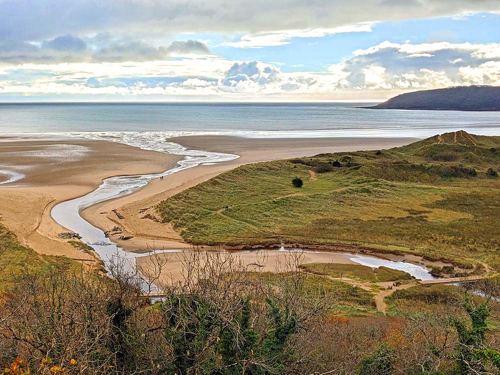
Visit a beach and hunt for sea glass, fossils, or interesting shells. Use OS Maps to find coastal paths and access points. Read our how to find fossils guide for some top tips.
OS Map Tip: Look out for the ‘diamond paths’ when planning your microadventure on the coast, these paths are well maintained and well signposted – find out more about Diamond Paths on OS Maps
14. Sunrise Picnic
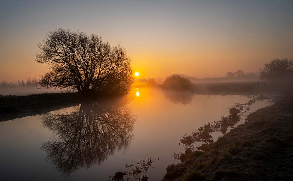
Pack breakfast and head out early to catch the sunrise from a scenic viewpoint. Use OS Maps to find east-facing hills or cliffs if heading to a summit. If on flatter ground try finding a spot near a river or lake for stunning reflections.
OS Map Tip: Use the compass tool to find east-facing slopes. Not sure how to use a compass? Our Knowledge Hub has some fantastic beginner’s guides to using a compass.
15. Train Station Adventures
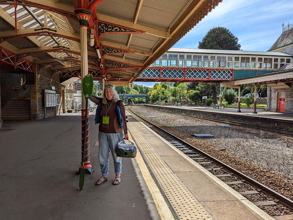
Pick a train stations and find a circular walk using OS Maps. It’s a fun way to explore new areas without a car. OS Champion Fi Derby often uses trains for her adventures. Explore your local train line to see what walks are available on the next few stops.
OS Map Tip: Use the Route Planner and snap to path feature to create a custom walk or use lots of ready made walks that start from stations like this circular walk up Ivinghoe Beacon that starts from Tring Station (just 30 mins from London Euston)
Why OS Maps is Your Best Microadventure App

Planning a microadventure?
Here’s how OS Maps makes getting outside easier, safer, and way more fun:
Stay safe and on track: Use GPS tracking and terrain features to navigate like a pro, even if you’re trying something new.
Plan your perfect route: Whether you’re walking, cycling, or paddling, you can create and save custom routes — complete with distance, elevation, and terrain info.
No signal? No problem: Download your maps before you go so you can explore confidently, even in the most remote spots (take a back up battery pack and paper map)
Discover hidden gems: With over a million routes shared by other outdoor lovers — plus recommendations from trusted partners like Trail Magazine, Country Walking, Ramblers and National Trails — you’ll never run out of inspiration.
Ready to Get Outside?
Microadventures are proof that you don’t need to go far or spend big to experience something extraordinary. With OS Maps, the outdoors is always within reach — even on a busy weekend.
EXPLORE THE
OS Shop
We are with you every step of the way. Shop our trusted walking and hiking maps and guidebooks so you can explore the outdoors with confidence.
Go to the shop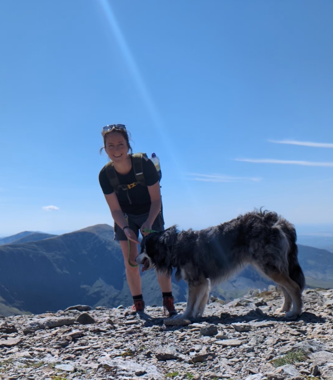
By Hilary Pullen
Meet Hilary, Editor of Get Outside – the Ordnance Survey Blog. Hilary is based in North Wales and loves hiking with her dogs in the mountains of Eryri and Bryniau Clwyd, you can find her on Instagram @nearlyuphill and read her guides to walking in North Wales on her blog. Drop her an email hilary.pullen@os.uk if you are interested in posting an article on Get Outside.