We teamed up with Sustrans to create a FREE layer in the OS Maps Web. That’s 16,575-miles of traffic-free and quiet on road cycling and walking routes to explore!
That’s 16,575-miles of traffic-free and quiet on road cycling and walking routes to explore.
And we’re excited that all of these routes are hosted in OS Maps for everyone to enjoy!
Sustrans is the charity making it easier for people to walk and cycle by connecting people and places through its network of walking and cycling routes which span the breadth of the UK, helping promote a happier, healthier lifestyle.

Tarka Trail credit Jonathon Bewley
Sustrans staff help maintain the National Cycle Network with over 3200 volunteers and community members. Situated within a mile of over half of every UK citizen, cyclists will love the thousands of miles of traffic-free paths and quiet on road cycling and walking routes are used by millions of people every year, providing spaces for everyone to enjoy.
Whether that’s to relax and unwind with a leisurely stroll or feel the adrenaline on two wheels. A safe place to learn, disconnect and forget.
You can now access this vast variety of routes across the UK, using a FREE layer on OS Maps Web. Find your next traffic-free cycling or walking adventure with OS Maps Web now!
To make the most of OS Maps, subscribe to a premium account. You’ll be able to access the equivalent of 607 paper Landranger and Explorer maps on your mobile devices as well as premium features such as 3D fly-through, augmented reality and table-top 3D.
Enjoy all leisure mapping, greenspace, aerial and night mapping layers at your fingertips for just £28.99 a year.
EXPLORE OS MAPS
DISCOVER THE NATIONAL CYCLE NETWORK
MORE ON CYCLING
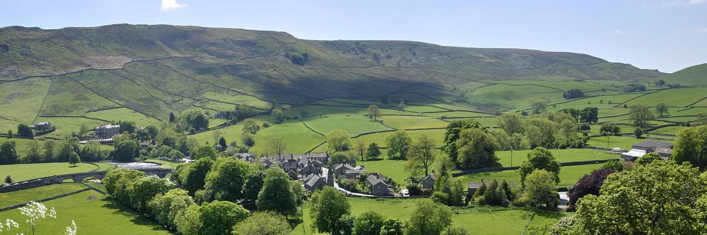
Hero Banner: Crab and Winkle Way credit Dik Ng