Are you looking for a Map of a UK National Park?
At Ordnance Survey we are the experts in UK mapping and walking guide books. We have both digital and paper maps of all 15 British National Parks available including a wide selection of guide books to help you plan your visits to our stunning National Parks. Simply download our OS Maps App for instant access to UK Maps or browse our range of OS Explorer Maps and Hiking Guide Books ideal for people looking to hike and explore in our UK National Parks.
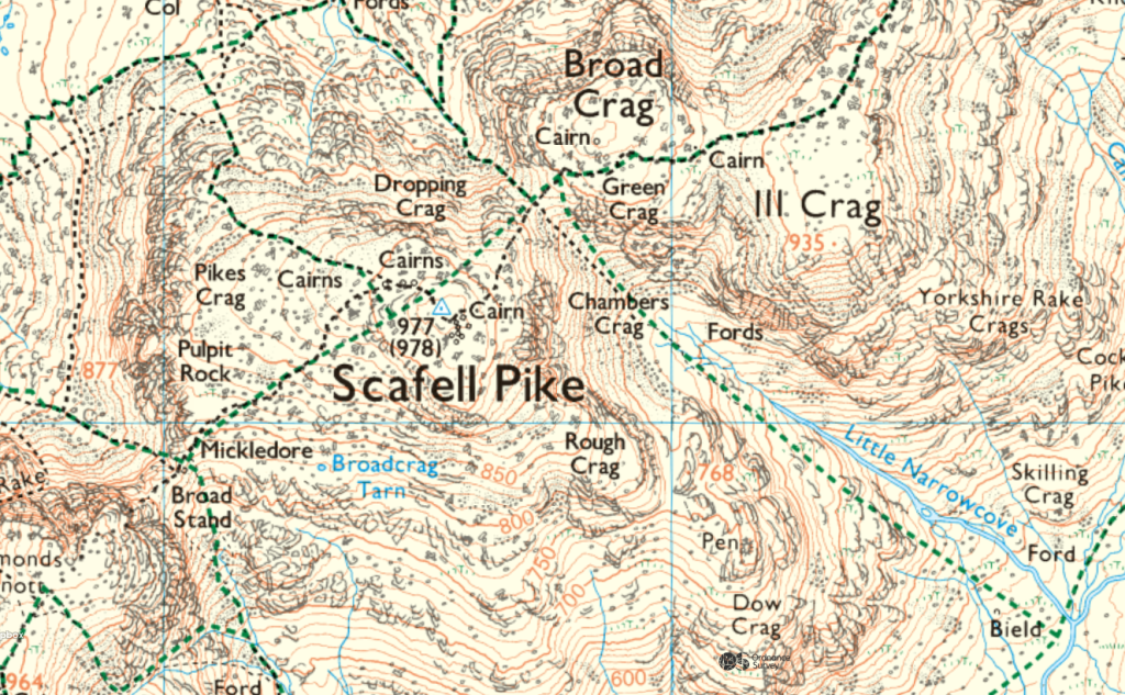
National Parks Open Access Land (England & Wales)
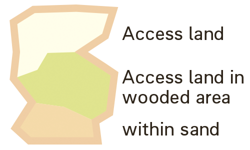
On our 1:25000 maps for England and Wales, all National Parks are highlighted with a thick yellow border. These areas are designated as open access land, allowing you legally the freedom to explore without restriction. While there are footpaths and National Trails available, you are not required to stay on them and can roam freely within these regions as long as you follow the Country Side Code and the Wild Camping Code.
If you’re looking for detailed paper or digital maps for hiking, explore our full selection of maps for the UK’s National Parks.
Find Out More About UK National Parks
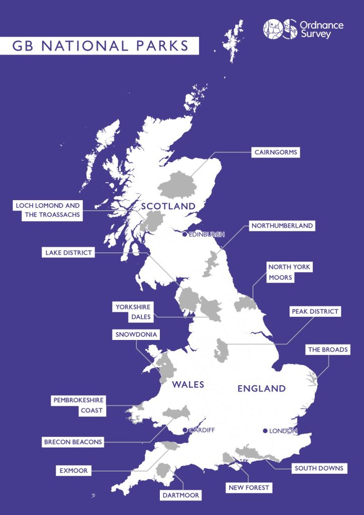
Explore the links below to access information pages for each UK National Park, complete with interactive maps. These pages feature detailed routes and articles, providing insights into the unique and breathtaking landscapes that are legally protected to preserve their natural beauty and biodiversity.

EXPLORE THE
OS Shop
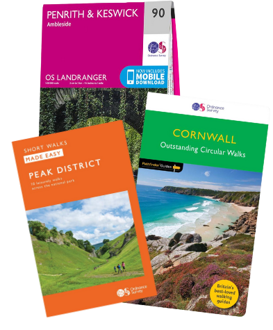
We are with you every step of the way. Shop our trusted walking and hiking maps and guidebooks so you can explore the outdoors with confidence.
Go to the shopOur Top 3 Best Selling Maps of UK National Parks
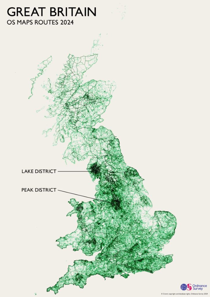
Map Showing the UK’s Most Popular National Parks
In OS Maps we have 1000’s of recommended hiking, running and cycling routes across all 15 of our National Parks – take a look at the most popular.
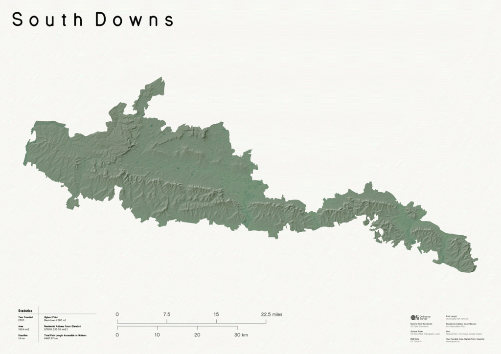
3D Relief Maps of UK National Parks
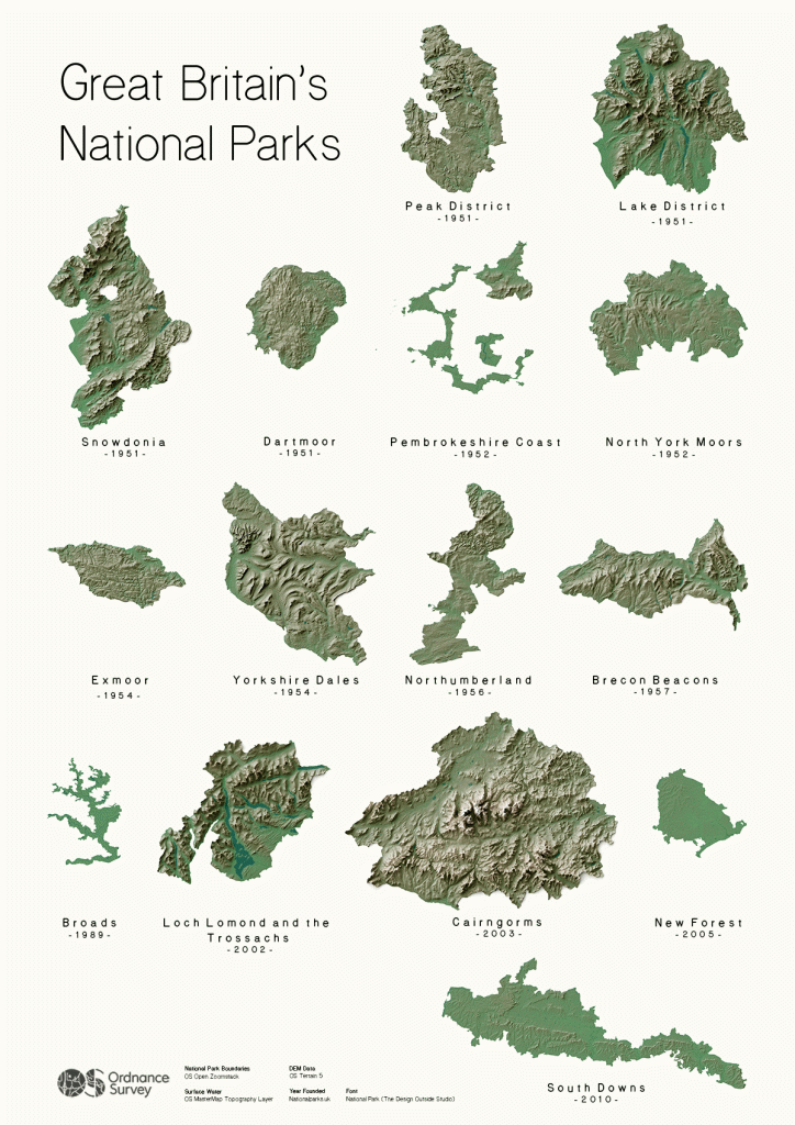
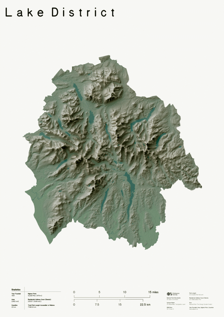
We have created these beautiful 3D relief maps of our stunning UK National Parks (scroll down to see each enlarged below). You can also access 3D Maps digitally in our OS Maps App, a great companion to our paper maps when exploring our beautiful National Parks.
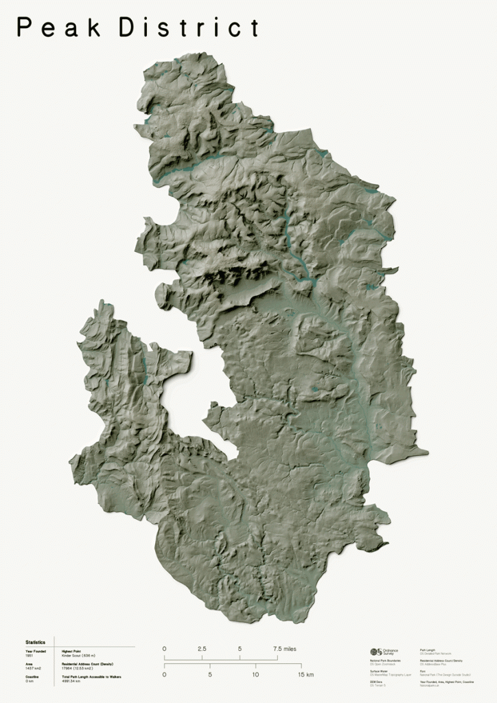
The relief maps of the National Parks are listed in the order of their establishment, starting with the Peak District, which was created in 1951 following a notable public uprising and mass trespass of Kinder Scout which fought landowners for the right to roam
Peak District Relief Map
Lake District Relief Map
Eryri (Snowdonia) Relief Map
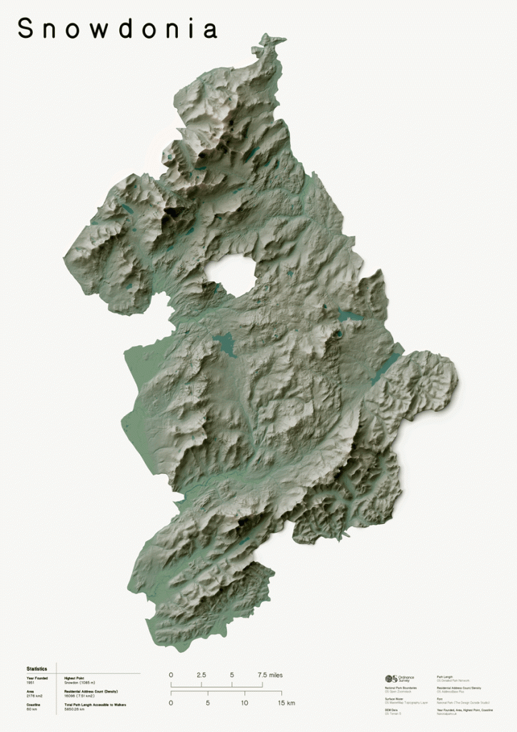
Dartmoor Relief Map
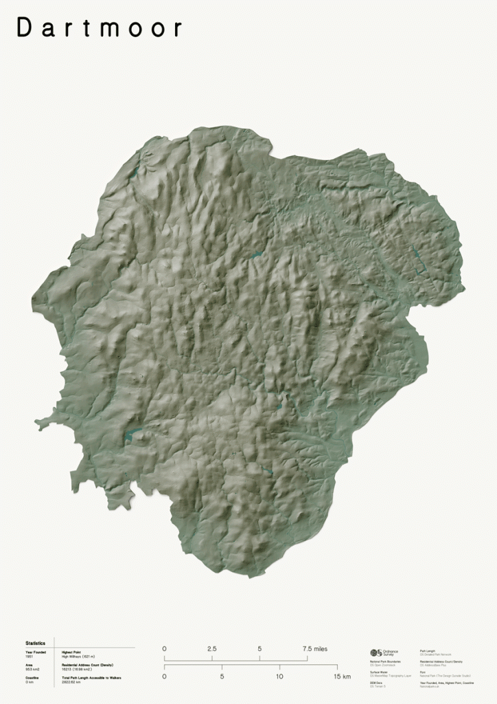
Pembrokeshire Coast Relief Map
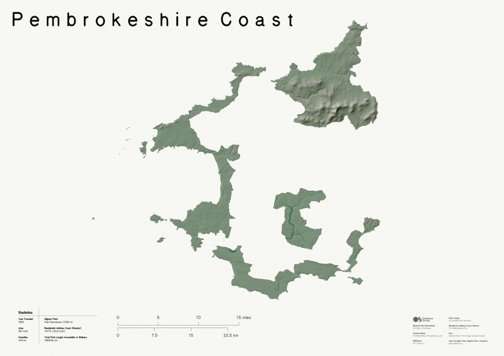
North York Moors Relief Map
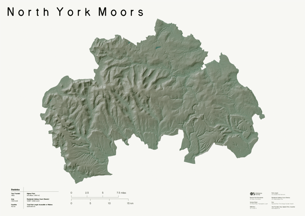
Exmoor Relief Map
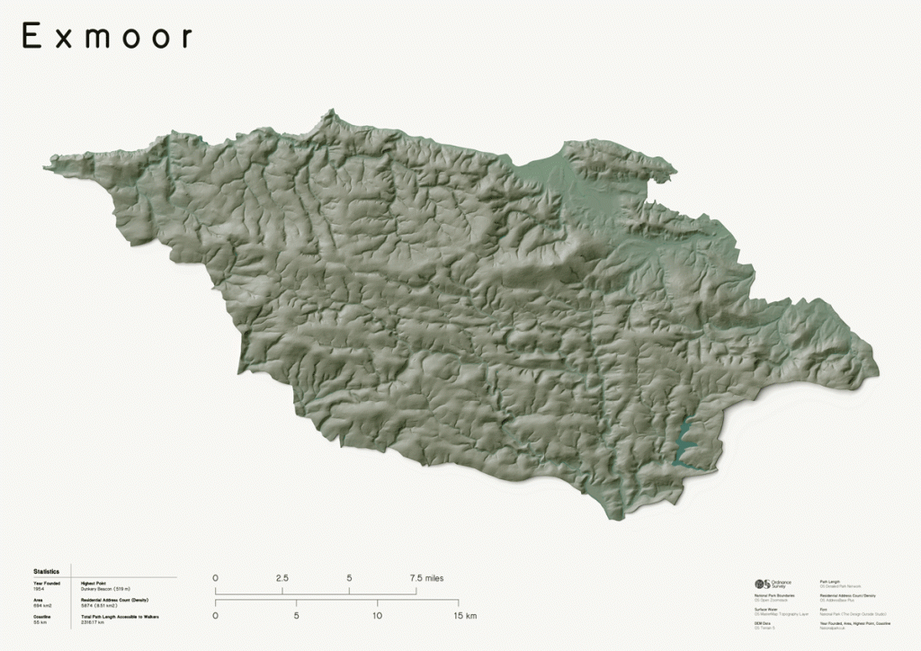
Yorkshire Dales Relief Map
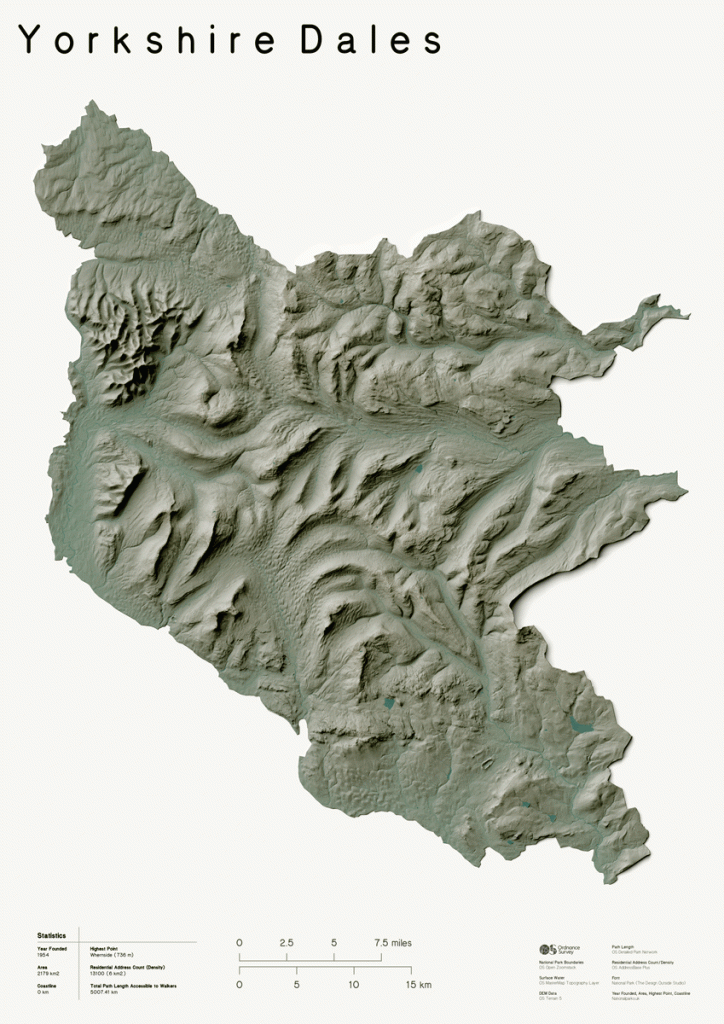
Northumberland Relief Map
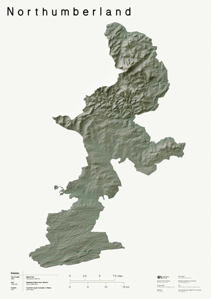
Bannau Brycheiniog (Brecon Beacons) Relief Map
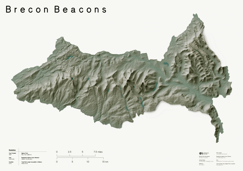
Norfolk Broads Relief Map
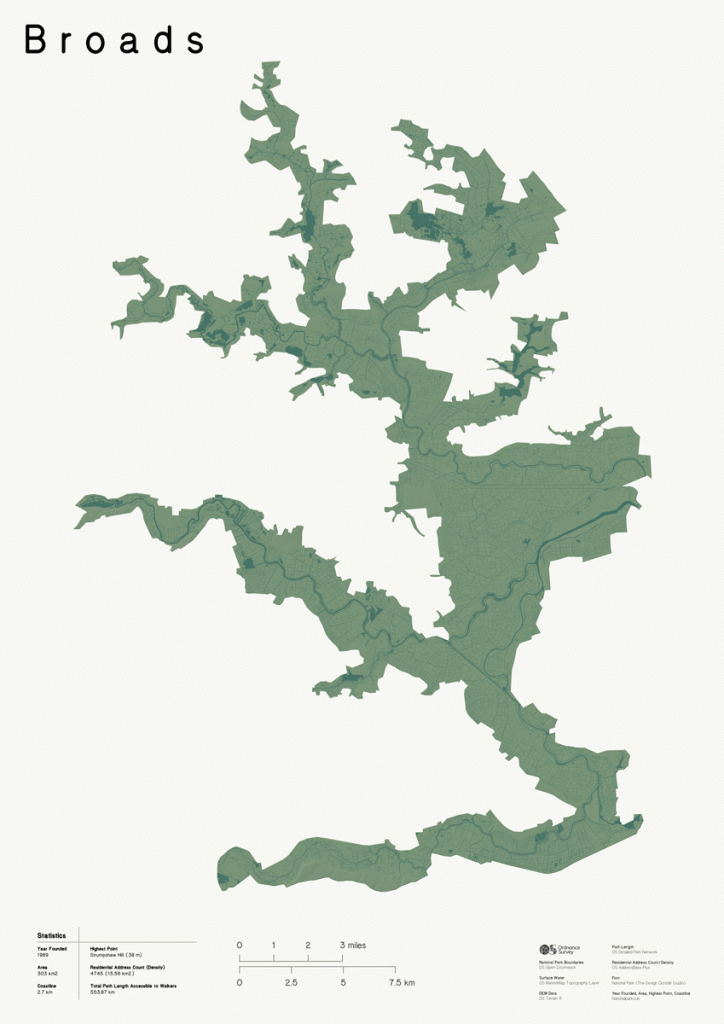
Loch Lomond & The Trossachs Relief Map
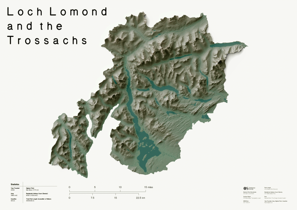
Cairngorms Relief Map
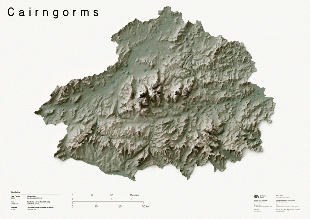
New Forest Relief Map
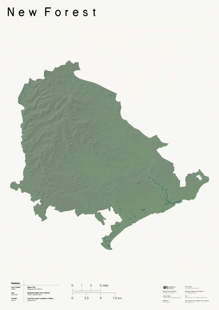
South Downs
Find out more about our amazing UK National Parks


By Hilary Pullen
Meet Hilary, Editor of Get Outside – the Ordnance Survey Blog. Hilary is based in North Wales and loves hiking with her dogs in the mountains of Eryri and Bryniau Clwyd, you can find her on Instagram @nearlyuphill and read her guides to walking in North Wales on her blog. Drop her an email hilary.pullen@os.uk if you are interested in posting an article on Get Outside.

