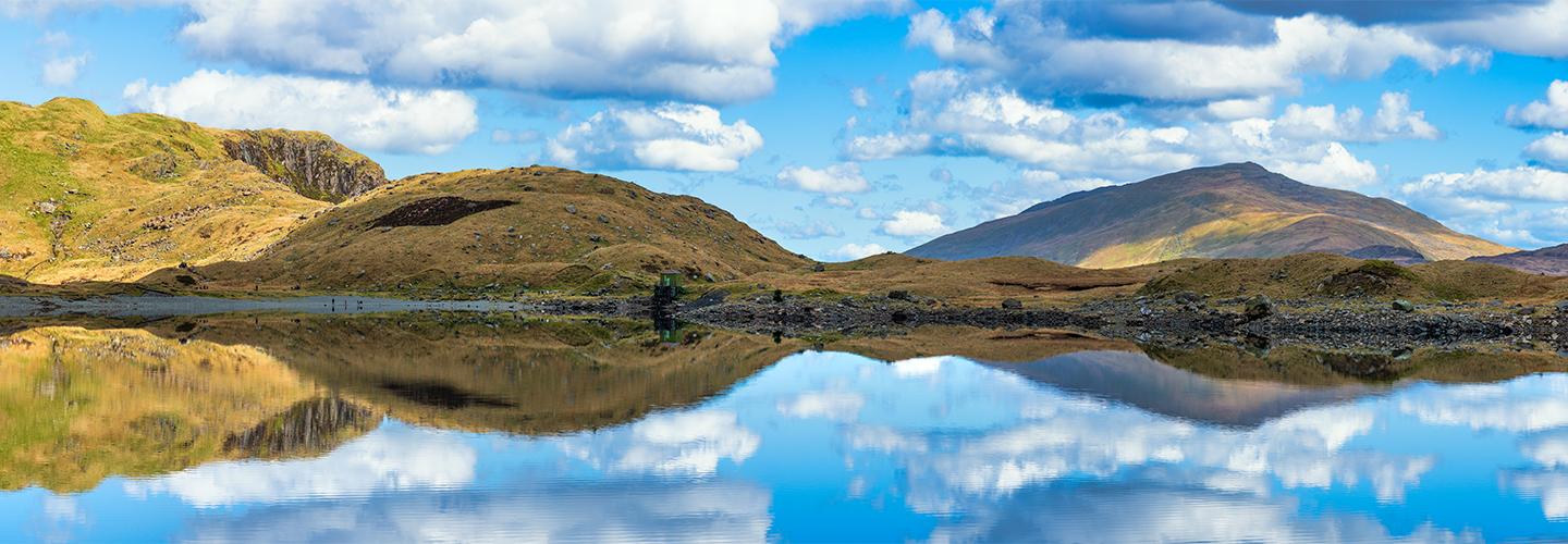
The South Downs National Park is home to four bustling market towns as well as numerous picturesque villages and sleepy hamlets that make great bases for a visit.
The Meon Valley
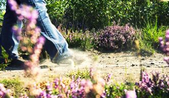
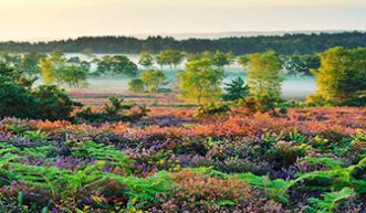
In old English Meon translates as ‘swift one’ but you’ll be better off taking your time to explore the beautiful villages along the route of this chalk stream. East Meon is home of All Saints Church with its beautiful 13th century spire. To see the valley from a different angle walk up to the iron-age hill fort and bronze age cemetery at Old Winchester Hill. On a warm sunny day this national nature reserve is a great spot to enjoy wildflowers and buzzing insects.
Find places to stay at Visit Hampshire. One option is The Sustainability Centre on the South Downs Way, near East Meon which has yurt, hostel and camping options.
Petersfield
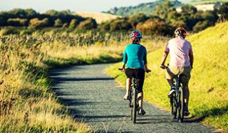
The lively town of Petersfield is easy to reach by train and home to a number of festivals, a great local farmer’s market on the first Sunday of the month, the Flora Twort Museum and a Physic Garden. Two long distance paths run through the town – the Shipwrights Way and. Hanger’s Way – it’s also the start or finish point for the Serpent’s Trail taking in some of the most beautiful lowland heaths in the country.
Find places to stay in Petersfield.
Midhurst and Petworth
The towns of Midhurst and Petworth are just six miles apart, connected by regular buses and between them boast the grand Petworth House, the ruins of Cowdray Abbey, the home of the Polo Gold Cup and an easy journey to Goodwood and the Weald and Downland Museum at Singleton
Ideas for places to stay in Midhurst and Petworth.
Arundel and Amberley
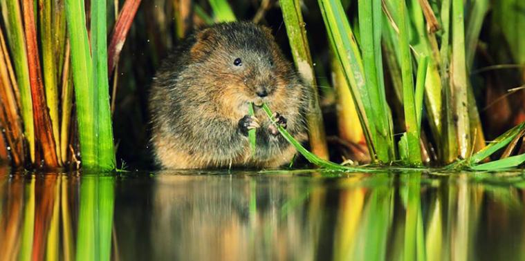
Arundel sits just outside the South Downs National Park with Amberley just five miles further north on the South Downs Way. Discover the area’s industrial heritage at Amberley Museum, delve back in time at Arundel Castle or spot water voles and wild fowl at Arundel Wetlands Centre.
Find places to stay at Visit Arundel or if you’re feeling adventurous spend a night off-grid at the National Trust’s Gumber Bothy. A five mile walk from Amberley train station or six miles from Arundel station, the bothy offers no-frills mattresses or camping and has a car free policy.
Lewes
Famous for its annual bonfire celebrations Lewes has lots to offer all year round. The Norman castle sits at the heart of the town, or walk in the footsteps of medieval monks in the priory ruins. Foodies can get stuck in at the weekly Friday food market, visit award winning Breaky Bottom Vineyard and enjoy some locally brewed Harvey’s Ale.
Lewes is a short walk from the South Downs Way and there are lots of options for places to stay in and around the town or head down to Southease to find bunks, camping pods, space for tents and cake at the recently refurbished YHA South Downs.
Alfriston
Alfriston, a picturesque village in the Cuckmere Valley, makes a great base for a visit the National Trust’s first ever purchase, Alfriston Clergy House. You can take a walk to see the enigmatic Long Man of Wilmington a hillside giant whose origins are lost in the mists of time. A great spot for walkers you can follow the meanders of the river Cuckmere down to the Seven Sisters visitor centre and, if you’ve time and energy extend the route down to the coast to take in the famous views of the Seven Sisters cliffs.
The Alfriston village website has suggestions of places to stay, including old flint barns on the Rathfinney Vineyard.
Discover more about the South Downs National Park, or tell us your favourites in the comments.
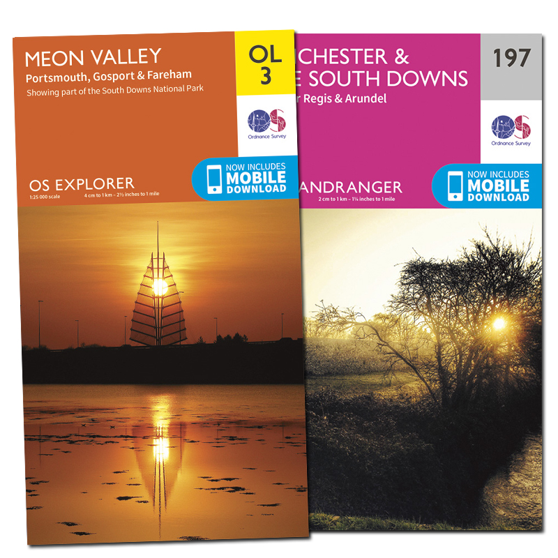
OS Paper Maps
Never explore without one
Stay safe, and stay active with Britain’s most accurate outdoor maps
Be inspired to do more and go further by equipping yourself with the best tools for the job. Our maps are built on 220 years of experience – we keep walkers, runners, cyclists and more safe in the great outdoors all year round.