A List of National Trails & Coastal Paths in England, Scotland & Wales
We are incredibly fortunate to have a vast network of beautifully maintained National Trails in England and Wales, as well as the stunning Great Trails in Scotland. These include the breathtaking long-distance UK Coastal Paths and other extensive footpaths, all lovingly managed by dedicated volunteers and local authorities.
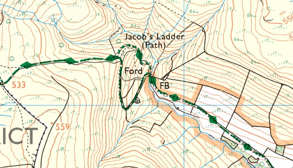
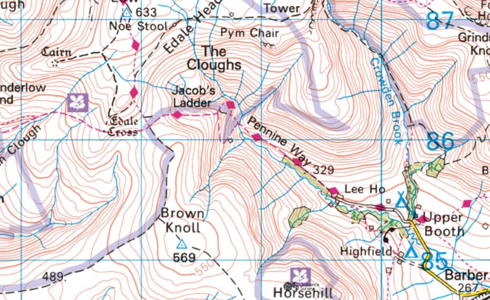
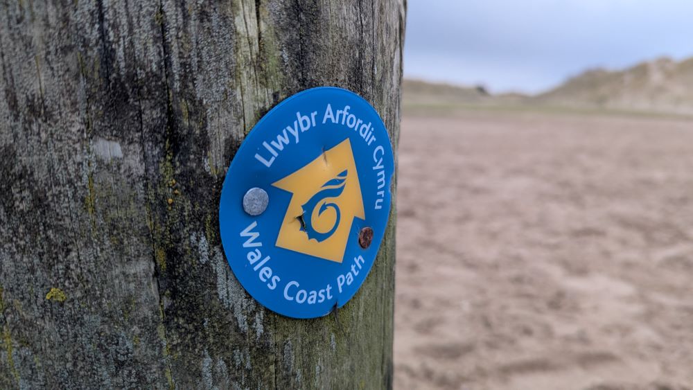
At the end of this post, you’ll find a curated list of some of the UK’s most beloved long-distance footpaths. If you’ve ever explored an Ordnance Survey Explorer or Ranger Map, you might have noticed green or magenta (red) diamonds dotting certain paths. These diamonds mark named long-distance recreational routes, highlighting that these long distance footpaths are truly something special!

How Does a Footpath Become a ‘Diamond’ Path?
Ever wondered what it takes for a footpath to earn its ‘diamond’ status on an Ordnance Survey map? We turned to our brilliant cartographers to find out. Achieving this prestigious designation is no easy feat and often requires the dedication of many passionate individuals to get a long-distance footpath both physically waymarked and officially endorsed.
To qualify as a ‘diamond’ path, a route must meet several criteria:
- Length Requirements: The path must be at least 10 km long to appear on Explorer maps (1:25000) and 40 km for Landranger maps (1:50000).
- Local Authority Endorsement: Every Local Authority (LA) the route crosses must endorse it. This endorsement doesn’t necessarily mean the LA promotes the route or prioritises it over other rights of way.
- Distinctive Waymarking: The route must be fully and distinctively waymarked by either the LA or the organisation that created it.
- Supporting Materials: There must be a guidebook, leaflet, or website with detailed mapping to enable OS to plot the route accurately.
- Ongoing Communication: A contact person must be designated to keep OS informed of any future route amendments.
- Maintenance: Public rights of way sections are maintained by the relevant LA, while other sections should be maintained by the creating organisation or another reliable body.
As you’ll see from the list of long distance footpaths at the end of this post, the UK is home to numerous long-distance ‘diamond’ paths, each offering unique experiences across diverse terrains. These managed paths are perfect for immersing yourself in the stunning British countryside, whether you’re exploring rugged coastlines, rolling hills, mountain trails, or historic routes.
What are National Trails and Great Scottish Trails?
In England an official National Trail has an acorn symbol and in Scotland a Scottish Great Trail is marked with a thistle symbol. These symbols differentiate them from other recreational routes. The National Trails in England are administered by Natural England, in Wales by Natural Resources Wales and in Scotland by Nature Scot.
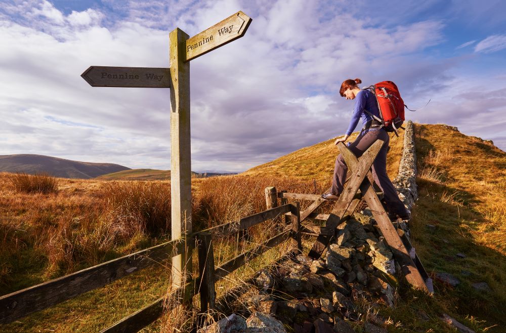
Long Distance Path Way Markers and Sign Posts
As part of their diamond status requirement, recreational paths in the UK are well-marked and actively managed by local authorities, ensuring that the paths are clear and easy to follow. Helpful signs guide you along the way, making it easier to navigate and enjoy your journey without the worry of getting lost. Picking short sections of a diamond path is a great way to get started with hiking.
Which kind of Ordnance Survey maps are best for long distance paths?
The Ordnance Survey Explorer (1:25,000 scale) and Landranger (1:50,000 scale) maps are both good for planning and hiking long distance footpaths in the UK. Ideally you will pair these maps with the OS Maps App which is great for both planning your routes and helping you to navigate.
What are OS Explorer Maps?
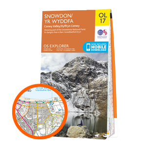
- OS Explorer Maps are the most detailed and accurate maps in the Ordnance Survey collection at 1:25,000 scale
- 4cm = 1km in real world
- Shows footpaths, bridleways, trails, boundaries, vegetation and landscape features, and places of interest
- Look for the ORANGE cover
What are OS Landranger Maps?
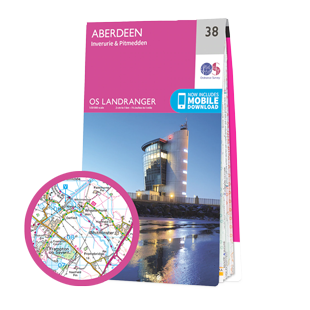
- OS Landranger Maps cover a larger area than Explorer maps as they are 1:50,000 scale but less detail
- 2cm = 1km in real world
- Show footpaths, bridleways, trails and tourist attractions but
- Look for the PINK cover
If you are looking for advice on map reading and using a compass download our free Map Reading Skills eBook and also take a look at our huge archive of map reading and navigation skills advice.
How to Plan for a Long Distance Walk

We have a comprehensive guide for How to plan a long distance route written by OS Champion Emily Thompson
Emily covers the following tips and advice for planning a long-distance walking adventure in the UK.
- When do you want to go?
- Considerations for choosing the best time of year for a long-distance walk.
- How many days do you want to walk?
- Tips for determining the duration of your walk based on your comfort and ability.
- Where are you going to stay?
- Options for accommodation along your walking route, including camping and B&Bs.
- Travel to the start and finish?
- Advice on transportation options to and from the start and end points of your walk.
- Clothing and equipment
- Essential gear and clothing to pack for a long-distance walk.
- Navigation
- Tips for navigating long-distance trails, including the use of maps and GPS devices.
List of UK Long Distance Paths and National Trails
This list of Diamond status paths includes National Trails, Scottish Great Trails and other managed recreational long distance paths. The list is in order of their length and we have included the National Parks that these routes cross through. The list is by no means complete, there are currently around 500 diamond status paths in the UK – so we’ve just listed a few of our favourites here. Take a look at your local map and see how many diamond paths you can find near you!
(NT) = National Trail (SGT) = Scottish Great Trail
| Path | Distance in Km | Distance in Miles | Country | Type | National Parks |
|---|---|---|---|---|---|
| South West Coast Path (NT) | 1,014 km | 630 miles | England | Coast | Exmoor, Dartmoor |
| Pennine Way (NT) | 431 km | 268 miles | England / Scotland | Inland | Peak District, Yorkshire Dales, Northumberland |
| A Pennine Journey (Wainright) | 397 km | 247 miles | England | Inland | Yorkshire Dales |
| Southern Upland Way (SGT) | 338 km | 210 miles | Scotland | Inland | None |
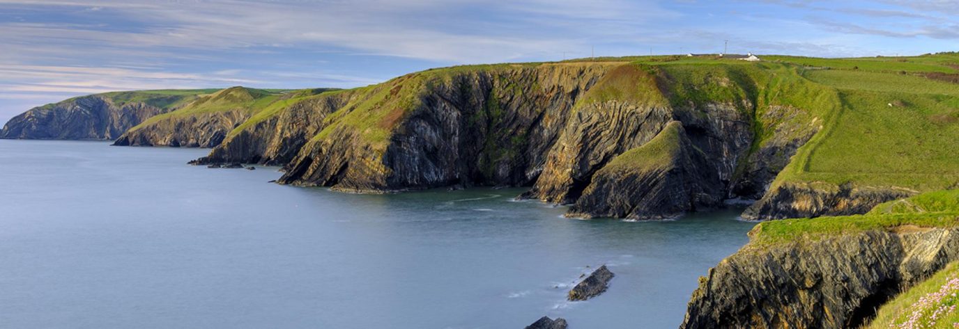
| Pembrokeshire Coast Path (NT) | 299 km | 186 miles | Wales | Coast | Pembrokeshire Coast |
| Cumbria Coastal Way | 298 km | 185 miles | England | Coast | Lake District |
| Thames Path (NT) | 294 km | 183 miles | England | Inland | None |
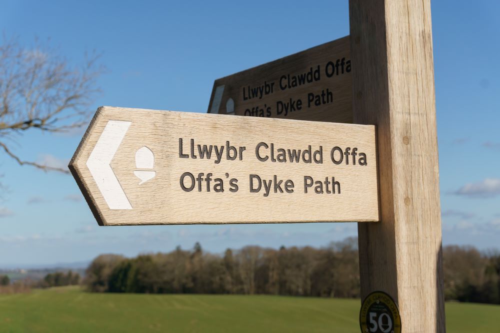
| Offa’s Dyke Path (NT) | 285 km | 177 miles | England / Wales | Inland | Bannau Brycheiniog |
| Saxon Shore Way | 262 km | 163 miles | England | Coast | None |
| North Highland Way (proposed) | 240 km | 150 miles | Scotland | Coast | None |
| John o’ Groats Trail (SGT) | 235 km | 146 miles | Scotland | Coast | None |
| North Downs Way (NT) | 246 km | 153 miles | England | Inland | None |
| Glyndŵr’s Way (NT) | 217 km | 135 miles | Wales | Inland | None |
| John Muir Way (SGT) | 215 km | 134 miles | Scotland | Inland | None |
| North Wales Pilgrims Way | 215 km | 134 miles | Wales | Coast | Eryri |
| Pennine Bridleway (NT) | 205 km | 127 miles | England | Inland | Peak District, Yorkshire Dales |
| Anglesey Coastal Path | 200 km | 124 m | Wales | Coast | None |
| Fife Coastal Path (SGT) | 187 km | 116 miles | Scotland | Coast | None |
| Cleveland Way (NT) | 175 km | 109 miles | England | Coast | North York Moors |
| Cotswold Way (NT) | 164 km | 102 miles | England | Inland | None |
| Ayrshire Coastal Path (SGT) | 161 km | 100 miles | Scotland | Coast | None |
| Kintyre Way (SGT) | 161 km | 100 miles | Scotland | Inland | None |
| South Downs Way (NT) | 160 km | 99 miles | England | Inland | South Downs |
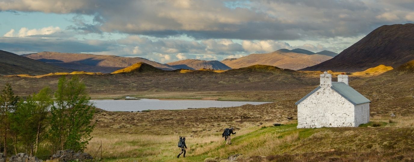
| West Highland Way (SGT) | 154 km | 96 miles | Scotland | Inland | Loch Lomond and The Trossachs |
| Peddar’s Way and Norfolk Coast Path (NT) | 150 km | 93 miles | England | Coast | None |
| Llwybr Llechi Eryri – Snowdonia Slate Trail | 146 km | 91 miles | Wales | Inland | Eryri |
| Llŷn Coastal Path | 146 km | 91 miles | Wales | Coast | None |
| Hadrian’s Wall Path (NP) | 135 km | 84 miles | England | Inland | Northumberland |
| Norfolk Coast Path | 135 km | 84 miles | England | Coast | None |
| Speyside Way | 137 km | 85 miles | Scotland | Inland | Cairngorms |
| The Ridgeway (NT) | 139 km | 86 miles | England | Inland | None |
| The Dales Way | 129 km | 80 miles | England | Inland | Lake District, Yorkshire Dales |
| Rob Roy Way (SGT) | 127 km | 79 miles | Scotland | Inland | Loch Lomond and The Trossachs |
| Yorkshire Wolds Way (NT) | 127 km | 79 miles | England | Inland | None |
| Great Glen Way (SGT) | 125 km | 78 miles | Scotland | Inland | None |
| Coast to Coast Walk (NT) | 306 km | 190 miles | England | Inland | Lake District, Yorkshire Dales, North York Moors |
| Isle of Wight Coastal Path | 113 km | 70 miles | England | Coast | None |
| Borders Abbeys Way (SGT) | 109 km | 68 miles | Scotland | Inland | None |
| Arran Coastal Way (SGT) | 107 km | 67 miles | Scotland | Coast | None |
| Forth & Clyde/Union Canal Towpath (SGT) | 106 km | 66 miles | Scotland | Inland | None |
| Lancashire Coastal Way | 106 km | 66 miles | England | Coast | None |
| Ceredigion Coast Path | 105 km | 65 miles | Wales | Coast | None |
| Cateran Trail (SGT) | 103 km | 64 miles | Scotland | Inland | None |
| Northumberland Coast Path | 101 km | 63 miles | England | Coast | Northumberland |
| St Cuthbert’s Way (SGT) | 100 km | 62 miles | Scotland | Inland | None |
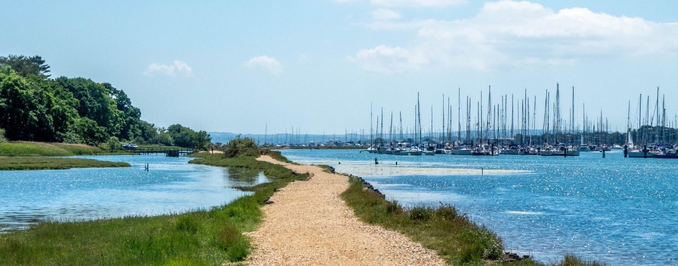
| Solent Way | 97 km | 60 miles | England | Coast | None |
| Suffolk Coast Path | 97 km | 60 miles | England | Coast | None |
| North Wales Path | 97 km | 60 miles | Wales | Coast | None |
| Great Glen Canoe Trail (SGT) | 96 km | 60 miles | Scotland | Inland | None |
| West Somerset Coast Path | 93 km | 58 miles | England | Coast | None |
| Loch Lomond & Cowal Way (SGT) | 92 km | 57 miles | Scotland | Inland | Loch Lomond and The Trossachs |
| Annandale Way (SGT) | 90 km | 56 miles | Scotland | Inland | None |
| Romans and Reivers Route (SGT) | 84 km | 52 miles | Scotland | Inland | None |
| Cross Borders Drove Road (SGT) | 82 km | 51 miles | Scotland | Inland | None |
| Moray Coast Trail (SGT) | 72 km | 45 miles | Scotland | Coast | None |
| Formartine and Buchan Way (SGT) | 66 km | 41 miles | Scotland | Inland | None |
| River Ayr Way (SGT) | 66 km | 41 miles | Scotland | Inland | None |
| Clyde Walkway (SGT) | 65 km | 40 miles | Scotland | Inland | None |
| Mull of Galloway Trail (SGT) | 59 km | 37 miles | Scotland | Coast | None |
| Bournemouth Coast Path | 59 km | 37 miles | England | Coast | None |
| Three Lochs Way (SGT) | 55 km | 34 miles | Scotland | Inland | Loch Lomond and The Trossachs |
| West Island Way (SGT) | 48 km | 30 miles | Scotland | Coast | None |
| Berwickshire Coastal Path (SGT) | 48 km | 30 miles | Scotland | Coast | None |
| Great Trossachs Path (SGT) | 45 km | 28 miles | Scotland | Inland | Loch Lomond and The Trossachs |
| Dava Way (SGT) | 38 km | 24 miles | Scotland | Inland | None |
| Millennium Coastal Path | 21 km | 13 miles | Wales | Coast | None |
These long distance footpaths in Britain often pass through picturesque villages, historic landmarks, and breathtaking natural scenery, offering a rich and rewarding experience for hikers of all levels. Whether you’re looking for a short day hike or a multi-day adventure, the UK’s long-distance paths and National Trails have something to offer everyone. Please be sure to share pics of your long distance walks by tagging us on Instagram or sharing them in our Facebook Group.
By Hilary Pullen
Meet Hilary, Editor of Get Outside – the Ordnance Survey Blog. Hilary is based in North Wales and loves hiking with her dogs in the mountains of Eryri and Bryniau Clwyd, you can find her on Instagram @nearlyuphill and read her guides to walking in North Wales on her blog. Drop her an email hilary.pullen@os.uk if you are interested in posting an article on Get Outside.