Hadrian’s wall, built by the Romans and marking the northern edge of their conquest of Britain, is now the route of a national trail that stretches from the east coast to the west.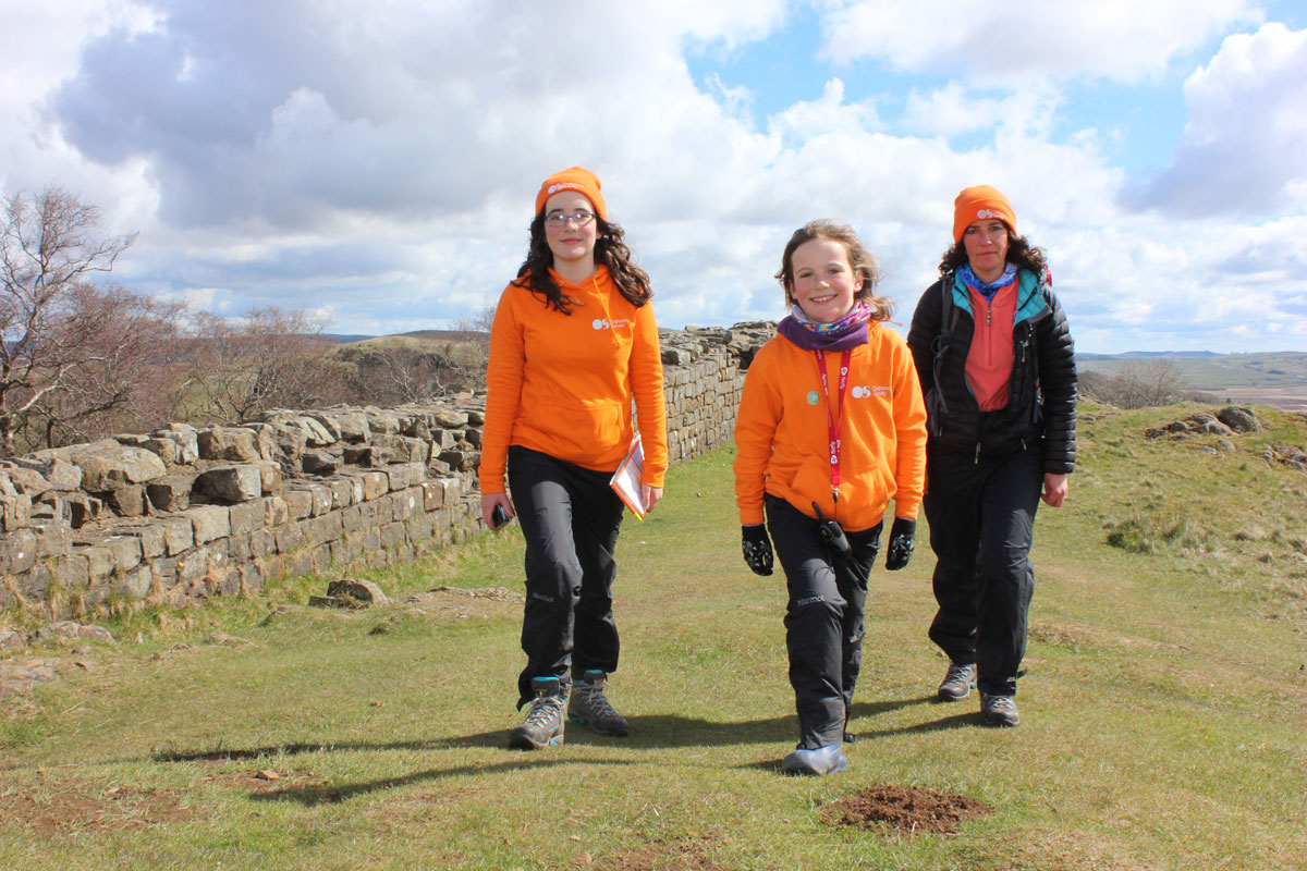
It’s always exciting planning an adventure and that’s exactly how we felt as we lay the maps that we needed for our next challenge, out on the table in front of us – four of them in total, stretching across the width of the UK. With highlighter pen in hand, we identified the trail that we would be following over the coming days and marked it on each of the maps, discussing distances that we would be walking each day and possible stopping points. The green dotted line punctuated with larger emerald diamonds and labelled Hadrian’s Wall Path, now had a yellow glow surrounding it.
A Hadrian’s Wall Path trail marker
Earlier this year we walked across the UK via the Hadrian’s Wall National Trail. It was part of our width of GB triathlon, which we were completing as a family and included kayaking the Caledonian Canoe Trail and cycling the Trans Penine Cycle route. The Hadrian’s National Trail was the walking leg (excuse the pun!)
The 84 mile trail linking Wallsend to Bowness-on-Solway, follows the World Heritage Site of Hadrian’s Wall, past Roman settlements and forts and through some beautiful countryside as well as some bustling cities. In order to make it truly a coast to coast challenge we added a further six miles onto our walk by starting on the east coast, at Tynemouth, marking the start of the walk by touching the North sea that was lapping onto the empty beach that late April morning. The first day felt like a trudge as we wandered along the pavements, beside busy roads into the centre of Newcastle.
Arriving in Wallsend, the official start of the trail, we felt a flutter of excitement as trail markers began to appear on the paths that we were following. Day One ended by the river in the centre of Newcastle.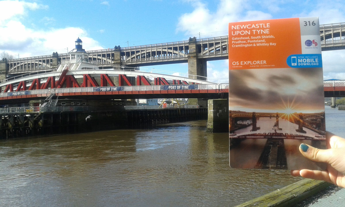
The bridge on the cover of OS Explorer map 316 can be found in the Port of Tyne
The following day we headed out of the city and into rural England where sections of the ancient Roman wall began to appear and the historical trail began.
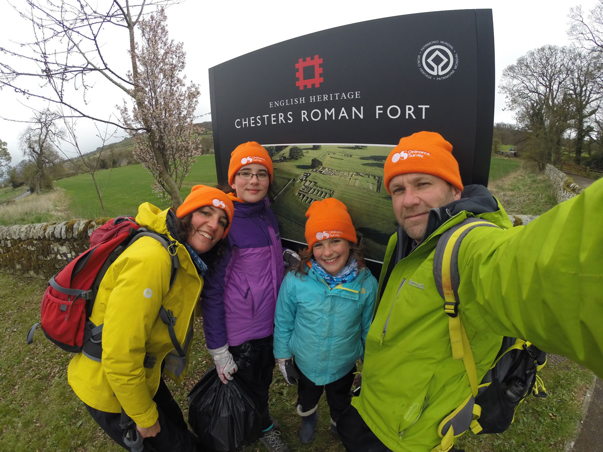
Discovering some of the Roman history of the Hadrian’s Wall Path
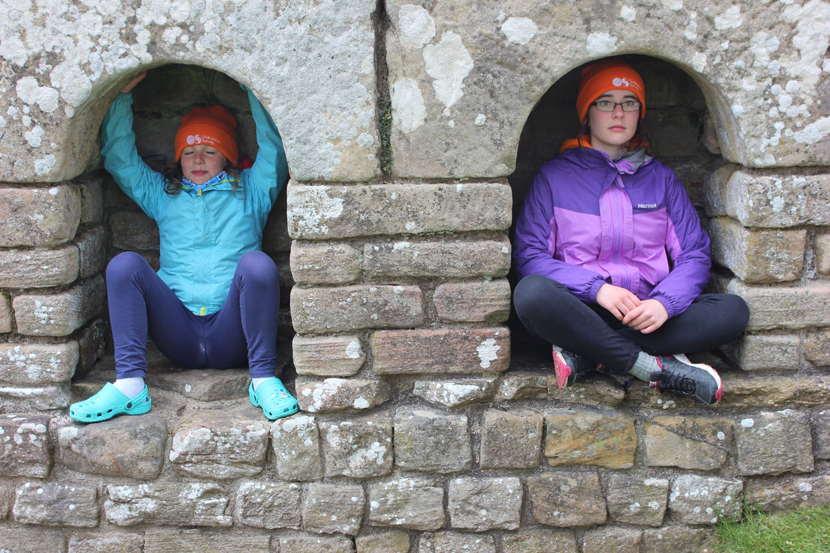
Perfect spot for a 5-minute break
There are many different options when considering completing the trail. Many people camp, carrying all their belongings or have them sent on to designated campsites along the way using luggage porter companies. Others break up the route with more luxurious stops in hotels or bed and breakfasts. Our Elddis AutoQuest motorhome was the support vehicle during the trip, taking us to and from the trail each day and providing a base to eat and sleep in.
Tim would drop us off and drive on to a chosen destination before walking back to meet us. With this in mind, the maps had multiple purposes for us. As walkers, we were able to find our location on the map and make suitable decisions about which directions to take if unsure (although the trail is clearly marked most of the way). We also used the map to identify nearby campsites that we could stay at en-route and suitable places where we could park the motorhome.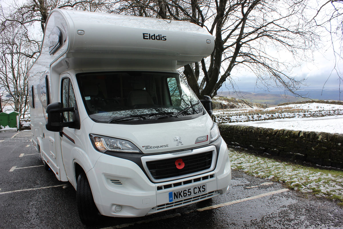
Our faithful Elddis AutoQuest motorhome waiting patiently
Whilst walking the trail we all wore our Ordnance Survey hats and received a few comments from passers-by, particularly from Dutch tourists who assumed we were fellow countrymen in the national bright orange colour!
In theory a map is not needed for walking the trails because they are clearly marked at regular intervals along the whole route. But, for us, the maps were invaluable and reassuring. Each evening, we’d enjoy looking at the route ahead and finding that ideal spot to park the motorhome. They might have been tucked safely away in the rucksack most days but there was the odd occasion when we needed to check where we were. It is always important to be prepared for different weather conditions and having a map is also an important part of being prepared.
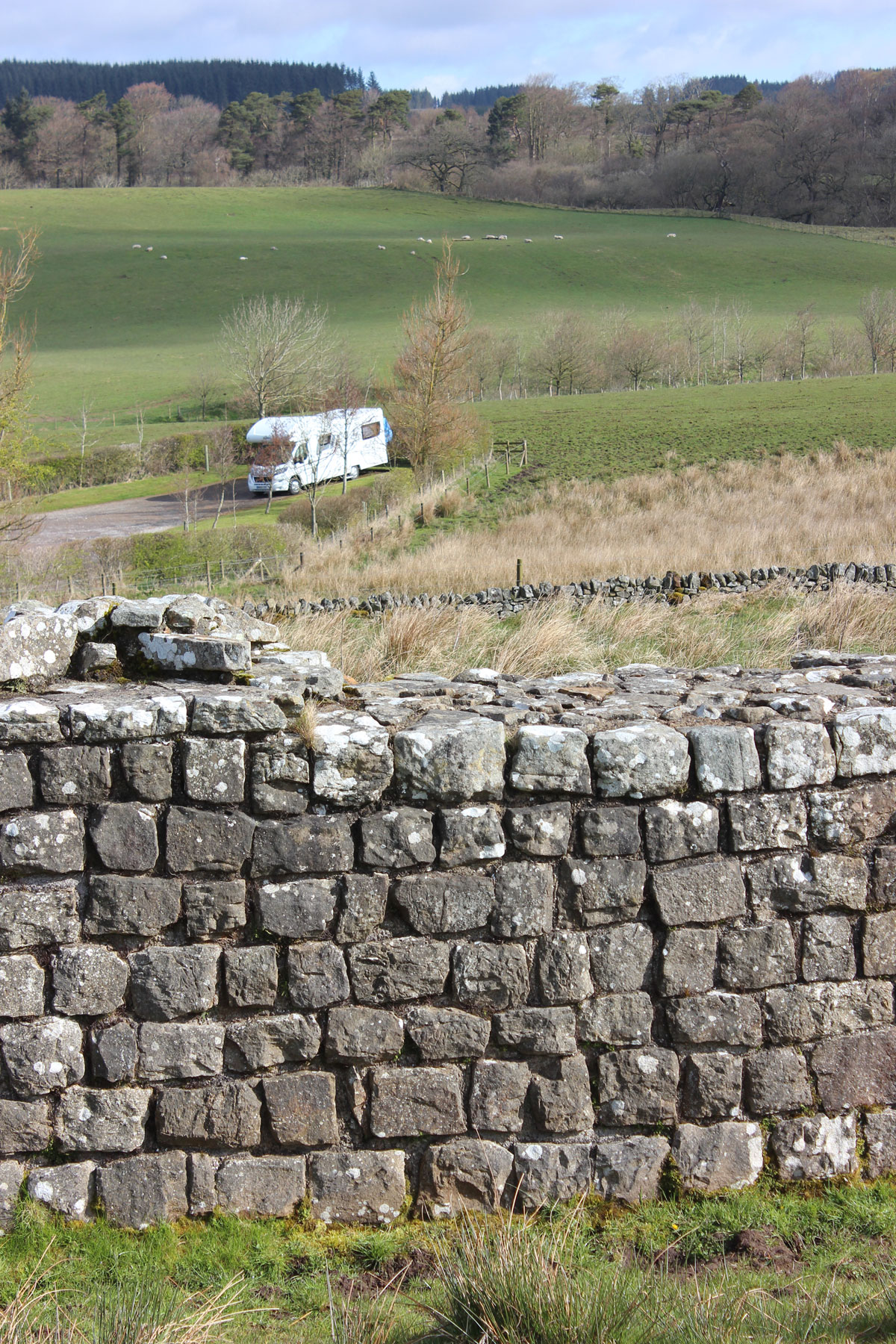
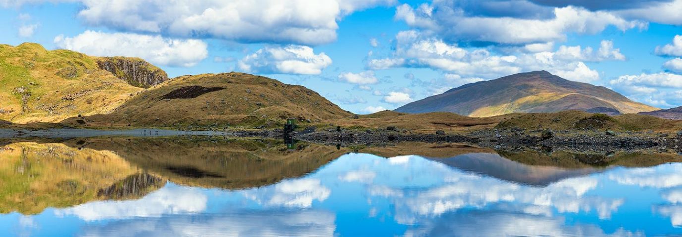
Rolling landscape next to Hadrian’s Wall
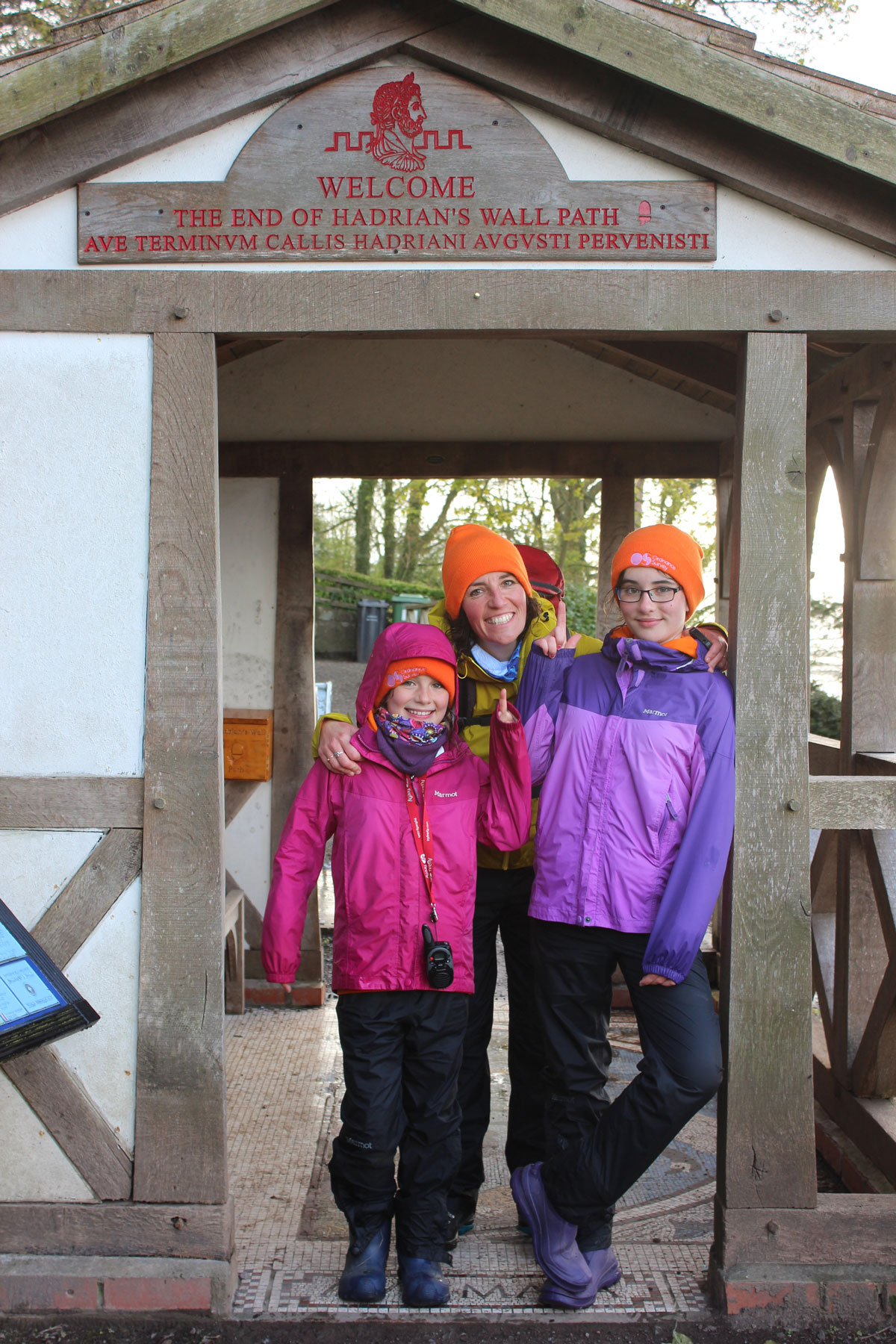
Challenge completed!
More information
You can find out about the Hadrian’s Wall Path from the National Trails website. To cover the full length of the route you will need OS Explorer maps 316, OL43, 315 and 314.