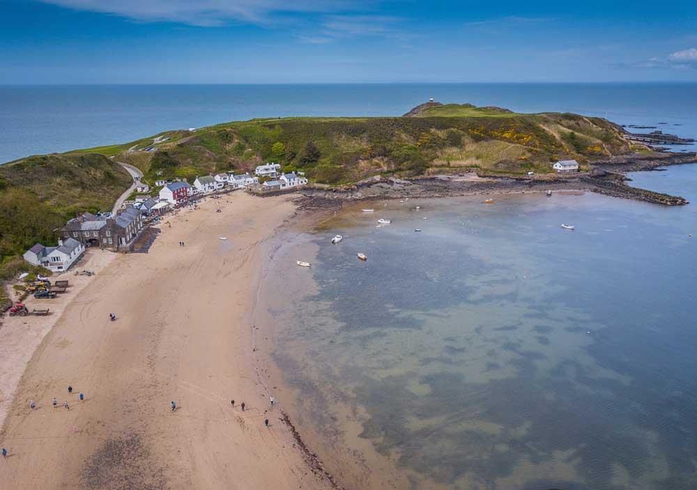
County Tops – What’s the highest point in your county?
Discover the highest points in every UK county with our interactive map. How many County Tops have you conquered?
Use the map to find all the county high points (using historical counties) and click on them to explore more on our OS Maps App. You can also find thousands of ready-made routes for planning a fun day out at one of these County Tops. Or why not try creating your own routes on the app, linking a few summits together for a bigger challenge.
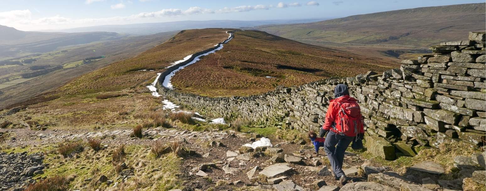
The County Tops Challenge
Known as the County Tops Challenge, walkers aim to reach the highest point in every county across the UK. We’d love to hear about your progress. How many peaks have you ticked off your list? If you’re inspired to start this challenge or maybe you’ve already completed it then let us know – we’d love to hear about the highlights.
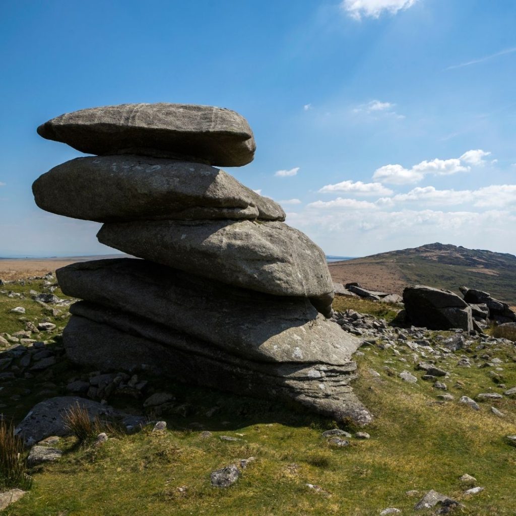
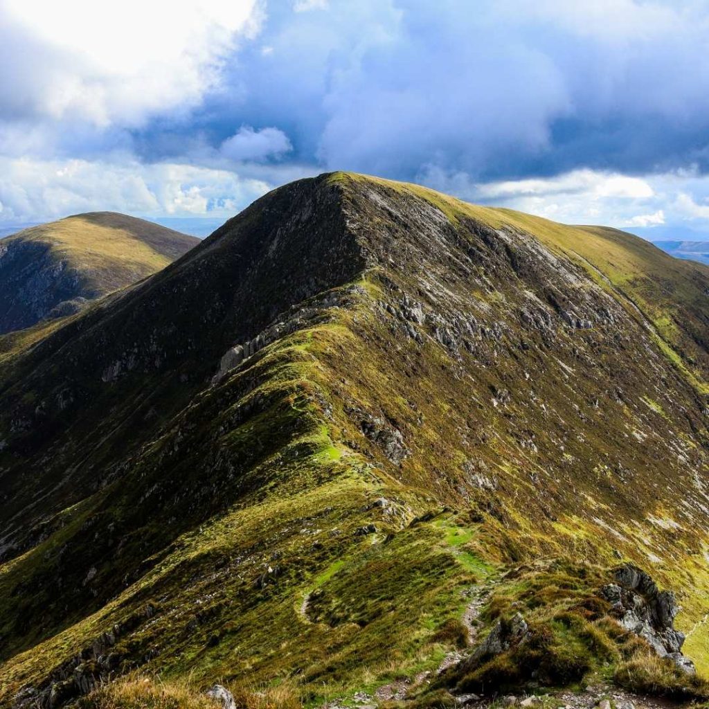
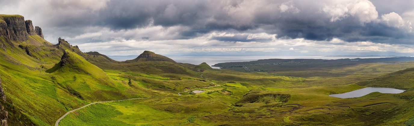
Just like Trig Bagging, walking up each county’s summit is a great way to discover new parts of the UK and experience its diverse landscapes. Having a challenge really helps to motivate you to get outside and explore new places you may never have thought to visit.
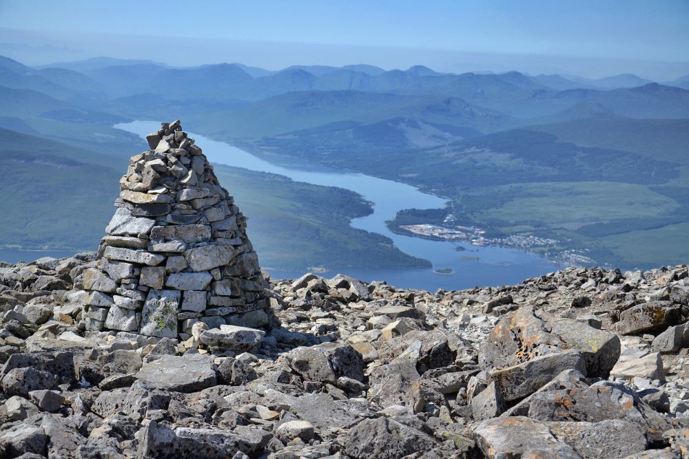
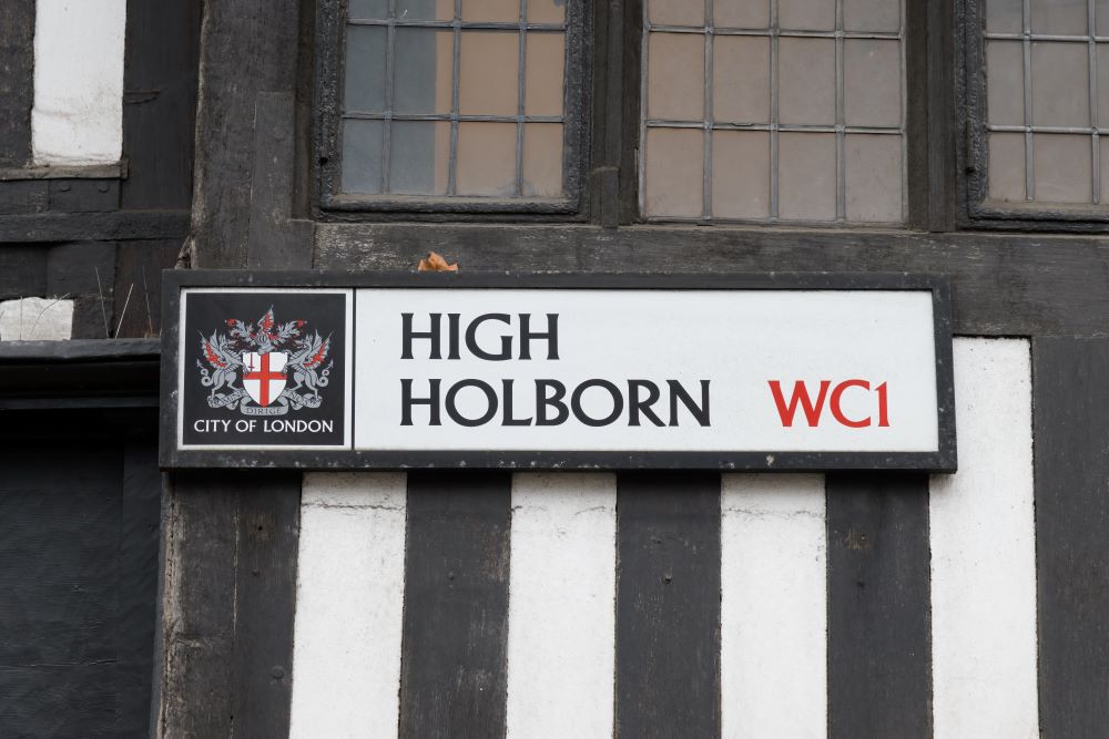
From the heights of Ben Nevis to the rather modest elevation of the City of London’s highest point at just 22 meters above sea level. Each county high point offers its own unique charm and challenge. Use the interactive map to click through to OS Maps and explore each summit in more detail.
A list of the highest points in every UK County in order of height
Click on a header to sort by that column. Scroll sideways on smaller screens to see more.
| Peak | Historic County | Country | Height(m) | Grid ref | Map |
|---|---|---|---|---|---|
| Ben Nevis | Inverness-shire | Scotland | 1345 | NN166712 | OS Maps |
| Ben Macdhui | Aberdeenshire | Scotland | 1309 | NN988989 | OS Maps |
| Ben Macdhui | Banffshire | Scotland | 1309 | NN988989 | OS Maps |
| Ben Lawers | Perthshire | Scotland | 1214 | NN635414 | OS Maps |
| Carn Eige | Ross and Cromarty | Scotland | 1183 | NH123261 | OS Maps |
| Bidean nam Bian | Argyll | Scotland | 1150 | NN143542 | OS Maps |
| Snowdon (Yr Wyddfa) | Gwynedd | Wales | 1085 | SH609543 | OS Maps |
| Glas Maol | Angus | Scotland | 1068 | NO166765 | OS Maps |
| Carnedd Llewelyn | Conwy | Wales | 1064 | SH683644 | OS Maps |
| Ben More Assynt | Sutherland | Scotland | 998 | NC318201 | OS Maps |
| Scafell Pike | Cumbria | England | 978 | NY215072 | OS Maps |
| Ben Lomond | Stirlingshire | Scotland | 974 | NN367028 | OS Maps |
| Ben Vorlich | Dunbartonshire | Scotland | 943 | NN295124 | OS Maps |
| Pen y Fan | Powys | Wales | 886 | SO011215 | OS Maps |
| Goat Fell | Bute | Scotland | 874 | NR991415 | OS Maps |
| Slieve Donard | Down | Northern Ireland | 850 | J357277 | OS Maps |
| Merrick | Kirkcudbrightshire | Scotland | 843 | NX427855 | OS Maps |
| Broad Law | Peeblesshire | Scotland | 840 | NT146235 | OS Maps |
| Cadair Berwyn | Denbighshire | Wales | 830 | SJ071323 | OS Maps |
| White Coomb | Dumfriesshire | Scotland | 821 | NT163151 | OS Maps |
| The Cheviot | Northumberland | England | 815 | NT909205 | OS Maps |
| Craig Berwyn | Wrexham | Wales | 790 | SJ077335 | OS Maps |
| Mickle Fell | Durham | England | 788 | NY805245 | OS Maps |
| Kirriereoch Hill shoulder | Ayrshire | Scotland | 782 | NX421870 | OS Maps |
| Fan Foel | Carmarthenshire | Wales | 781 | SN821223 | OS Maps |
| Mount Battock | Kincardineshire | Scotland | 778 | NO549844 | OS Maps |
| Plynlimon | Ceredigion | Wales | 752 | SN789869 | OS Maps |
| Culter Fell | Lanarkshire | Scotland | 748 | NT052290 | OS Maps |
| Dun Rig | Selkirkshire | Scotland | 744 | NT253315 | OS Maps |
| Cairn Hill West Top (Hangingstone Hill) | Roxburghshire | Scotland | 743 | NT895193 | OS Maps |
| Whernside | North Yorkshire | England | 736 | SD738814 | OS Maps |
| Ben Cleuch | Clackmannanshire | Scotland | 721 | NN902006 | OS Maps |
| Carn a Ghille Chearr | Moray | Scotland | 710 | NJ139298 | OS Maps |
| Morven | Caithness | Scotland | 706 | ND004285 | OS Maps |
| Black Mountain | Herefordshire | England | 703 | SO255350 | OS Maps |
| Chwarel y Fan | Monmouthshire | Wales | 679 | SO259292 | OS Maps |
| Sawel | Londonderry and Tyrone | Northern Ireland | 678 | H618973 | OS Maps |
| Cuilcagh | Fermanagh | Northern Ireland | 665 | H123281 | OS Maps |
| Carn Glas-choire | Nairnshire | Scotland | 659 | NH891291 | OS Maps |
| Blackhope Scar | Midlothian | Scotland | 651 | NT315483 | OS Maps |
| Kinder Scout | Derbyshire | England | 636 | SK085875 | OS Maps |
| Green Hill | Lancashire | England | 628 | SD701820 | OS Maps |
| High Willhays | Devon | England | 621 | SX580892 | OS Maps |
| Craig y Llyn | Neath Port Talbot | Wales | 600 | SN906031 | OS Maps |
| Craig y Llyn (eastern slopes) | Rhondda Cynon Taf | Wales | 589 | SN909031 | OS Maps |
| Black Hill | West Yorkshire | England | 582 | SE078046 | OS Maps |
| Coity Mountain | Blaenau Gwent | Wales | 581 | SO231079 | OS Maps |
| Coity Mountain (north-eastern slopes) | Torfaen | Wales | 580 | SO231080 | OS Maps |
| Slieve Gullion | Armagh | Northern Ireland | 573 | J025203 | OS Maps |
| Mynydd Llangeinwyr | Bridgend | Wales | 568 | SS912947 | OS Maps |
| West Cairn Hill | West Lothian | Scotland | 562 | NT107584 | OS Maps |
| Shining Tor | Cheshire | England | 559 | SJ994737 | OS Maps |
| Moel Famau | Flintshire | Wales | 554 | SJ161626 | OS Maps |
| Trostan | Antrim | Northern Ireland | 550 | D179236 | OS Maps |
| High Stones | South Yorkshire | England | 548 | SK188943 | OS Maps |
| Black Chew Head | Greater Manchester | England | 542 | SE056019 | OS Maps |
| Brown Clee Hill | Shropshire | England | 540 | SO593865 | OS Maps |
| Foel Cwmcerwyn | Pembrokeshire | Wales | 536 | SN094311 | OS Maps |
| Twyn Pwll Morlais (SE slopes) | Caerphilly | Wales | 535 | SO082110 | OS Maps |
| Meikle Says Law | East Lothian | Scotland | 535 | NT581617 | OS Maps |
| Meikle Says Law shoulder | Berwickshire | Scotland | 532 | NT581616 | OS Maps |
| Twyn Pwll Morlais (southern slopes) | Merthyr Tydfil | Wales | 531 | SO080110 | OS Maps |
| West Lomond | Fife | Scotland | 522 | NO197066 | OS Maps |
| Hill of Stake | Renfrewshire | Scotland | 522 | NS273630 | OS Maps |
| Cheeks Point on Cheeks Hill | Staffordshire | England | 520 | SK026699 | OS Maps |
| Dunkery Beacon | Somerset | England | 519 | SS891415 | OS Maps |
| Innerdouny Hill | Kinross-shire | Scotland | 497 | NO032073 | OS Maps |
| Ward Hill | Orkney | Scotland | 481 | HY228022 | OS Maps |
| Ronas Hill | Shetland | Scotland | 450 | HU305834 | OS Maps |
| Worcestershire Beacon | Worcestershire | England | 425 | SO768452 | OS Maps |
| Brown Willy | Cornwall | England | 420 | SX158800 | OS Maps |
| Mynydd y Gwair | Swansea | Wales | 374 | SN664094 | OS Maps |
| Cleeve Hill | Gloucestershire | England | 330 | SO996245 | OS Maps |
| Craigairie Fell | Wigtownshire | Scotland | 322 | NX236736 | OS Maps |
| Wentwood | Newport | Wales | 309 | ST411942 | OS Maps |
| Garth Hill | Cardiff | Wales | 307 | ST103835 | OS Maps |
| Walbury Hill | Berkshire | England | 297 | SU373616 | OS Maps |
| Leith Hill | Surrey | England | 295 | TQ139431 | OS Maps |
| Milk Hill | Wiltshire | England | 294 | SU104643 | OS Maps |
| Pilot Hill | Hampshire | England | 286 | SU398601 | OS Maps |
| Black Down | West Sussex | England | 280 | SU919296 | OS Maps |
| Lewesdon Hill | Dorset | England | 279 | ST437011 | OS Maps |
| Bardon Hill | Leicestershire | England | 278 | SK459131 | OS Maps |
| Turners Hill | West Midlands | England | 271 | SO967887 | OS Maps |
| Haddington Hill | Buckinghamshire | England | 267 | SP890090 | OS Maps |
| Whitehorse Hill | Oxfordshire | England | 261 | SU300863 | OS Maps |
| Ebrington Hill | Warwickshire | England | 261 | SP187426 | OS Maps |
| Currock Hill | Tyne and Wear | England | 259 | NZ107592 | OS Maps |
| Betsoms Hill | Kent | England | 251 | TQ435563 | OS Maps |
| Ditchling Beacon | East Sussex | England | 248 | TQ331130 | OS Maps |
| Bishop Wilton Wold | East Riding of Yorkshire | England | 246 | SE821570 | OS Maps |
| NE shoulder of Westerham Heights | Greater London | England | 245 | TQ436564 | OS Maps |
| NE shoulder of Pavis Wood | Hertfordshire | England | 244 | SP914091 | OS Maps |
| Dunstable Downs | Bedfordshire | England | 243 | TL008194 | OS Maps |
| St Boniface Down | Isle of Wight | England | 241 | SZ569785 | OS Maps |
| Arbury Hill, Big Hill | Northamptonshire | England | 225 | SP540587 | OS Maps |
| Holyhead Mountain | Isle of Anglesey | Wales | 220 | SH218829 | OS Maps |
| Newtonwood Lane | Nottinghamshire | England | 204 | SK456606 | OS Maps |
| Cold Overton Park | Rutland | England | 197 | SK827085 | OS Maps |
| Billinge Hill | Merseyside | England | 179 | SD525014 | OS Maps |
| Normanby le Wold Top | Lincolnshire | England | 168 | TF121964 | OS Maps |
| east of Dundry Hill | Bristol | England | 160 | ST593668 | OS Maps |
| Chrishall Common | Essex | England | 147 | TL443362 | OS Maps |
| Great Chishill | Cambridgeshire | England | 146 | TL427386 | OS Maps |
| Unnamed hill SE of Pantylladron | Vale of Glamorgan | Wales | 137 | ST036739 | OS Maps |
| Great Wood Hill | Suffolk | England | 128 | TL786558 | OS Maps |
| Beacon Hill | Norfolk | England | 103 | TG183414 | OS Maps |
| High Holborn | City of London | England | 22 | TQ310816 | OS Maps |