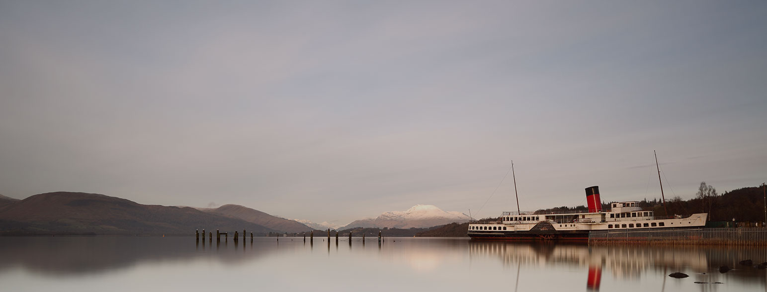
Situated in central western Scotland, Loch Lomond and The Trossachs National Park is centred around the Loch itself, which at 39km (24 miles) long and up to 8km (5 miles) wide, is the largest freshwater lake in Britain.
As well as the activities on the loch itself, the Loch Lomond and The Trossachs National Park has 21 Munros, providing ample opportunity for exploring. While some peaks require proper equipment all year round, some lower routes are easily accessible to walkers of all abilities. As well as walking, there are also routes for cycling and, riding and climbing.

EXPLORE THE
OS Shop
We are with you every step of the way. Shop our trusted walking and hiking maps and guidebooks so you can explore the outdoors with confidence.
Go to the shopWhere is The Loch Lomond and The Trossachs National Park?
This park is in Central Scotland, just north of Glasgow and west of Stirling. It includes Loch Lomond and several mountain ranges, making it a popular destination for hiking and water sports.
Top Loch Lomond and The Trossachs National Park articles
10 best hill walks in Loch Lomond & Trossachs National Park
Loch Lomond and the Trossachs has a staggering 41 mountains over 2000 ft to climb. Kate Hopper gives us 10 of her favourite hill walks in the area.

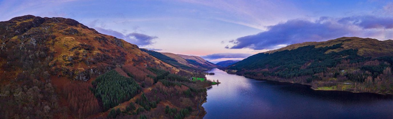
Six views to enjoy in the loch lomond and trossachs national park
If you love photography, or enjoy beautiful views, try exploring the Loch Lomond and Trossachs National Park. It has 720 square miles of rivers, lochs, waterfalls, hills and forests. Whatever time of year you visit, you’ll be treated to a whole host of stunning sights.
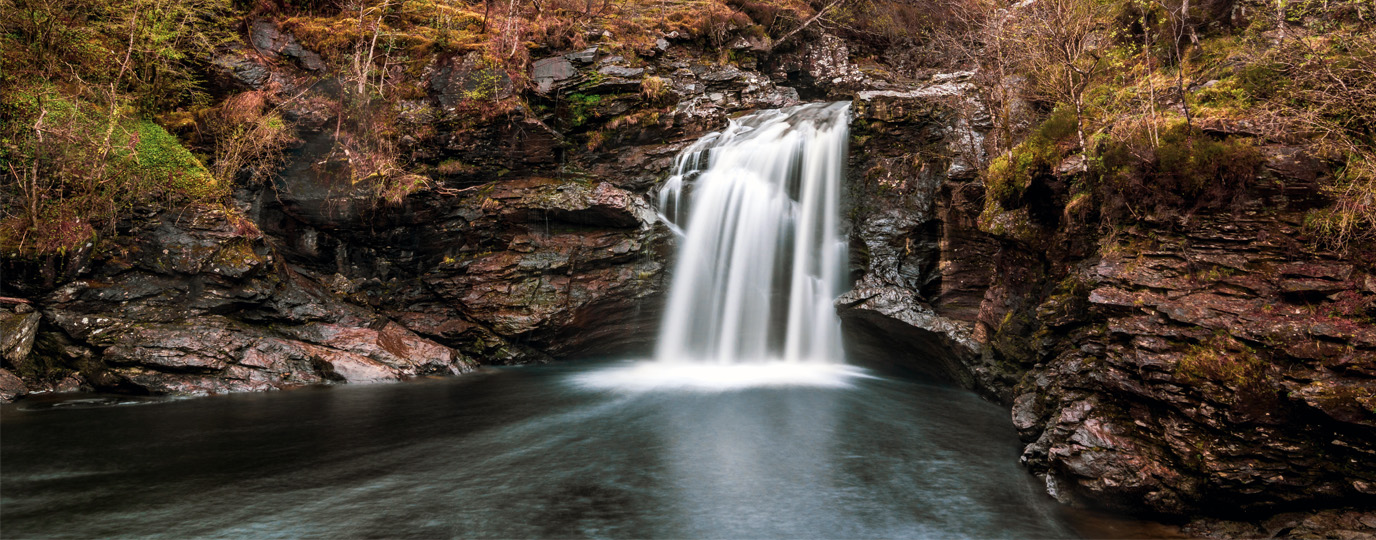
Stunning Waterfalls in Loch Lomond and the Trossachs National Park
Explore the best and most stunning waterfalls in Loch Lomond and the Trossachs, and uncover the beauty of the National Park’s landscapes.