If you love photography, or enjoy beautiful views, try exploring the Loch Lomond and Trossachs National Park. It has 720 square miles of rivers, lochs, waterfalls, hills and forests. Whatever time of year you visit, you’ll be treated to a whole host of stunning sights.
Here are a few we recommend:
Arrochar Alps from Loch Arklet
Loch Arklet with the Arrochar Alps in the distance
Loch Arklet is between Loch Lomond and Loch Katrine and you can get to it by travelling along the Inversnaid road from Aberfoyle. If you walk along the river there’s a path leading up to the viewpoints and you can see the majestic sight of the Arrochar Alps from just beyond the dam.
OPEN IN OS MAPS
The River Teith and the Menteith Hills

You can see this fabulous view from the battlements of Doune Castle. It’s a popular location for TV and film – Game of Thrones, Outlander, Ivanhoe and Monty Python have all featured the castle and its surrounding countryside.
Doune Castle was built in the 13th century and then re-built by the Duke of Albany in the 14th century. When you visit, climb up to the battlements and from there you can see the river, the hills and Ben Lomond stretching out before you. The village of Doune is 8 miles from Stirling and 3 miles from Dunblane. By car, the village is just off the A84 heading to Callander. The castle is a few minutes by car from the village or a 15-minute walk.
OPEN IN OS MAPS
An Ceann Mor, Inveruglas
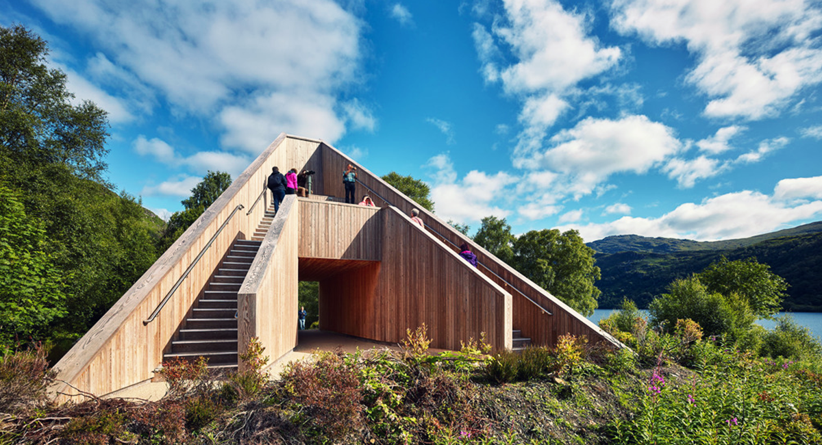
This is just one of the structures installed in the park to allow visitors to experience the views from somewhere a bit different. An Ceann Mor is a pyramid shape with steps on either side to a platform where you can admire the views over Ben Lomond. Inveruglas is a hamlet on the west shore of Loch Lomond, just off the A82 Glasgow to Inverness road.
OPEN IN OS MAPS
Lendrick Hill
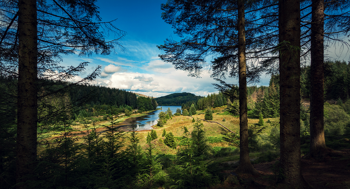
View over the forests and one of the lochs in the Three Loch Forest Drive near Aberfoyle in Scotland
Lendrick Hill is a 30 minute uphill walk from the Little Drum Car Park. When you get there, you’ll see the Achray Forest, Loch Venachar and Ben Venue. This little mountain has two summits, one stands at 2,385 feet above sea level and the other, on the western summit is 2,391 feet. Little Drum Car Park is in the picturesque village of Brig O’ Turk, which is six miles from Callander and four miles from Aberfoyle. From Brig O’Turk you can also visit the Finglas Reservoir for more spectacular views.
OPEN IN OS MAPS
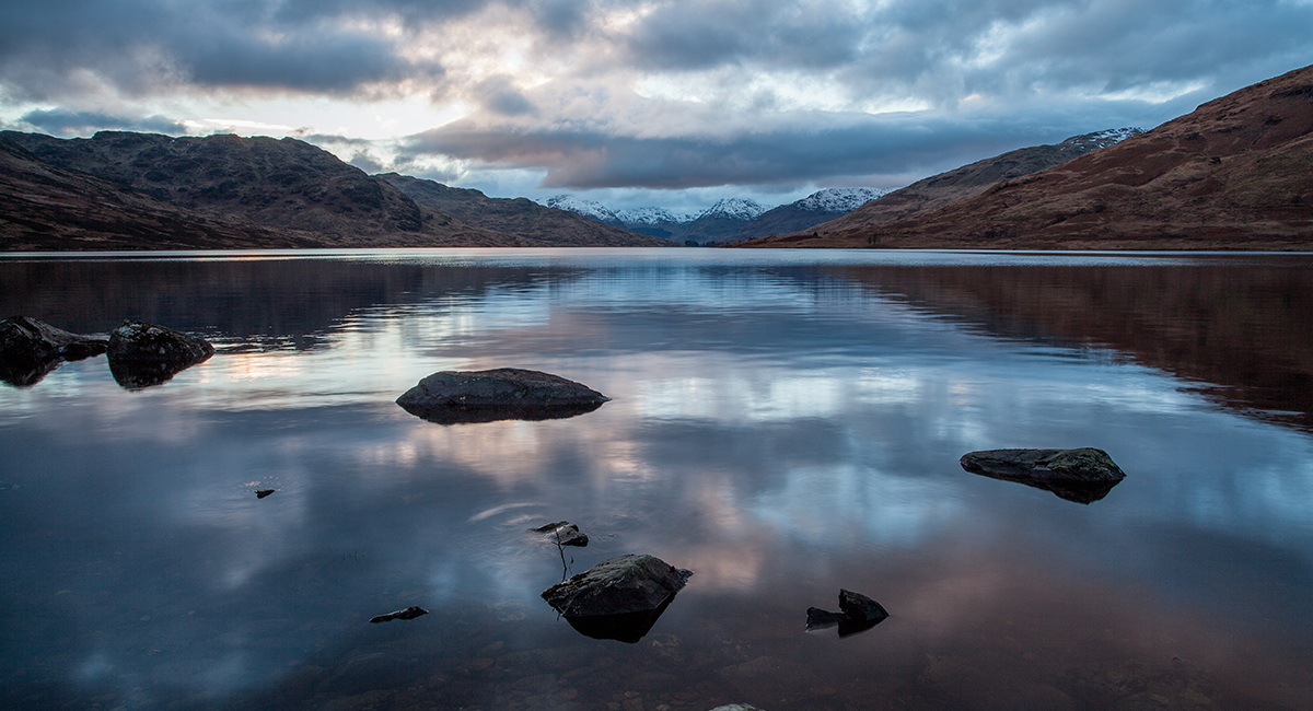
Loch Voil, Balquhidder
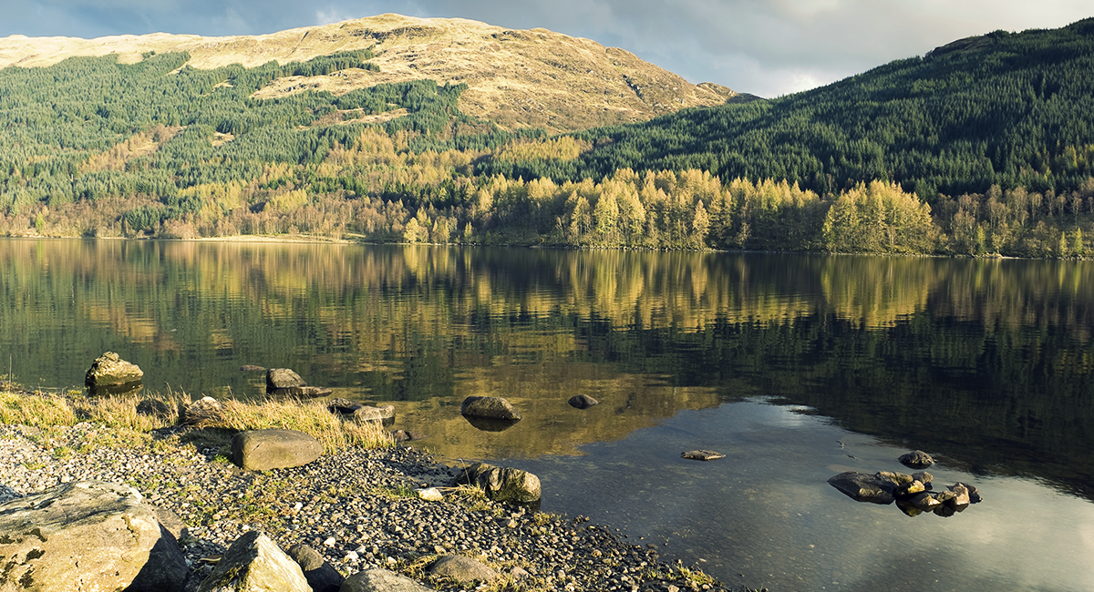
Balquhidder is where you’ll find the grave of Rob Roy MacGregor, otherwise known as the Scottish Robin Hood and portrayed in the film ‘Rob Roy’. The village is small, with Loch Voil at its head and views of the Braes of Balquhidder. This glen shows off the mountains of the highlands, including Loch Voil and Loch Doine.
Make your way to the look out at Loch Voil. You can get to it off the A84, past Balquhidder, opposite Monachyle Mhor. The Voil lookout is another of the park’s special structures. It looks like a mirrored box and it reflects the landscape on three sides. There are two seats inside the shelter, looking towards the loch and it gives you an interesting perspective of the surrounding countryside.
OPEN IN OS MAPS
Loch Katrine
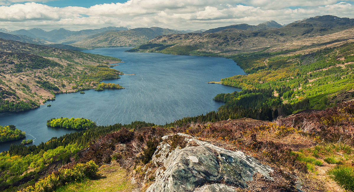
Loch Katrine in the Trossachs National Park,Scottish, Highlands
Loch Katrine is a freshwater loch and supplies water to the city of Glasgow. It has a romantic atmosphere and was the inspiration for Walter Scott’s famous poem, Lady of the Lake. Some of the best views can be seen from Brenachoile Point, which is an easy long walk (wheelchair and buggy accessible) from the Trossachs Pier Car Park. Once you’re at Brenachoile Point you’ll have wonderful views of Loch Katrine and the Arrochar Alps, which includes the famous Ben Arthur, better known as ‘The Cobbler’. Loch Katrine is ten miles from Callander and seven miles from Aberfoyle, off the A821.
OPEN IN OS MAPS
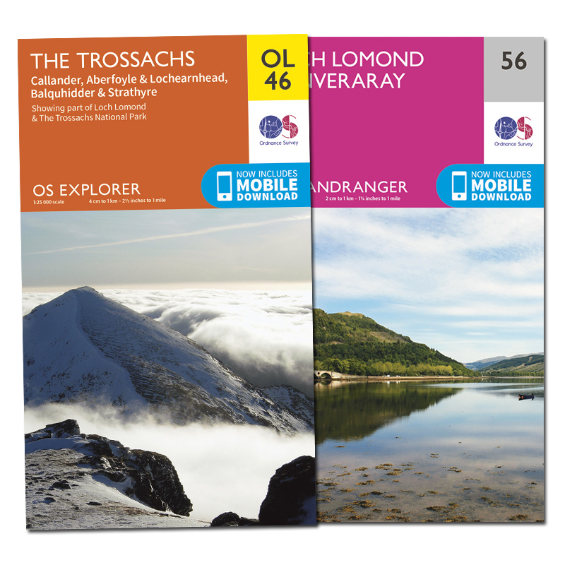
OS Paper Maps
Never explore without one
Stay safe, and stay active with Britain’s most accurate outdoor maps
Be inspired to do more and go further by equipping yourself with the best tools for the job. Our maps are built on 220 years of experience – we keep walkers, runners, cyclists and more safe in the great outdoors all year round.
BUY MAPS >