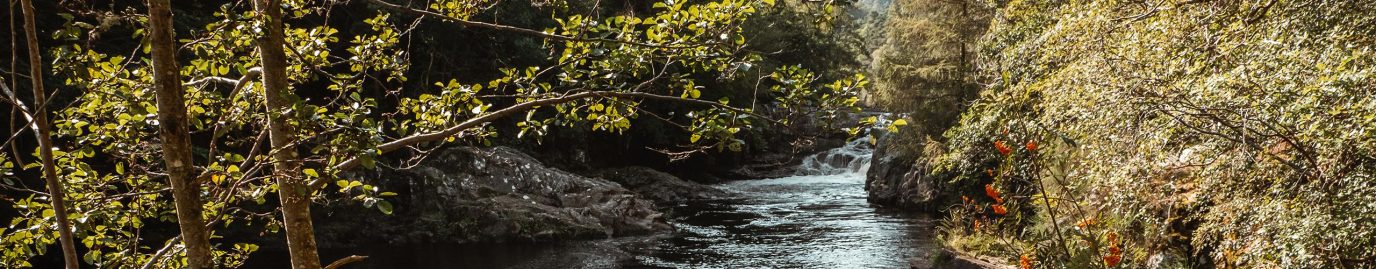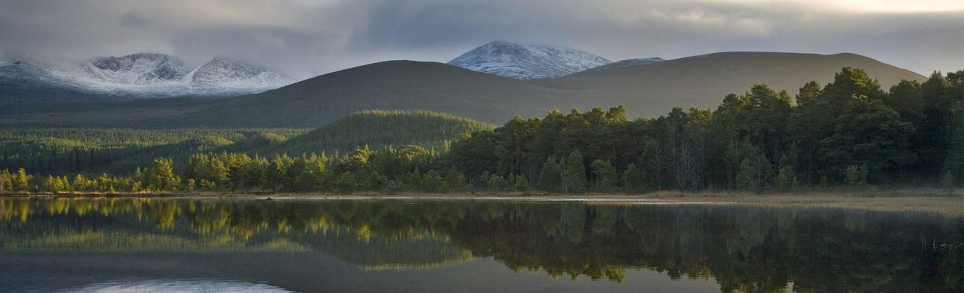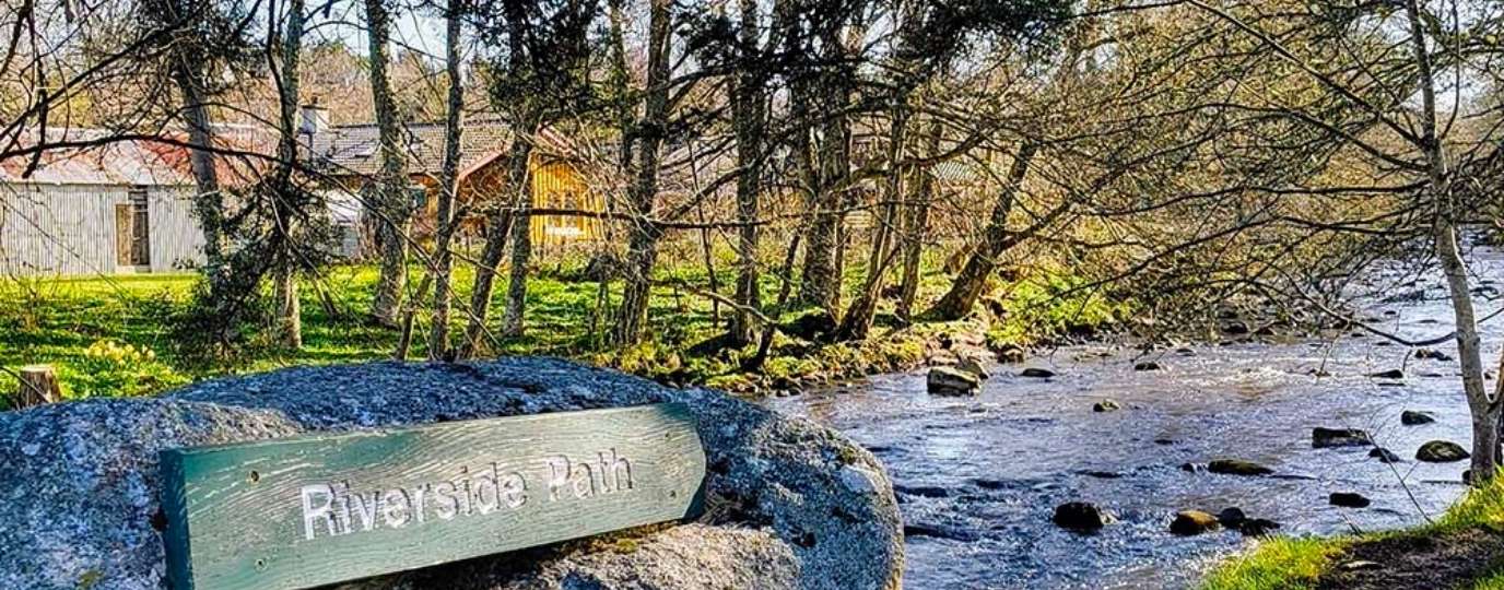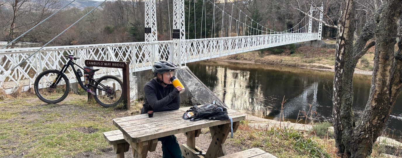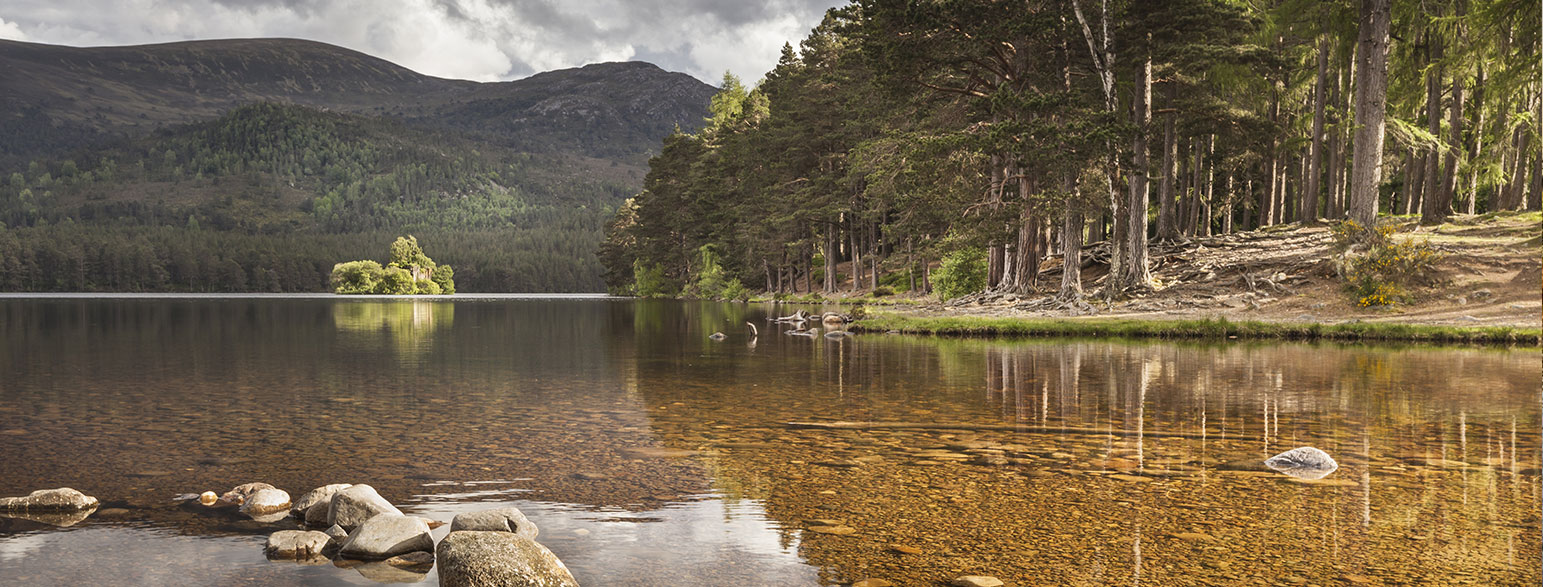
The Cairngorms National Park covers a substantial area of central mainland Scotland. It is very mountainous – five of the UK’s highest mountains and three of the main ski areas of Scotland are inside the park boundaries. The area offers walking, riding and cycling routes, plus water sports on Loch Insh.

EXPLORE THE
OS Shop
We are with you every step of the way. Shop our trusted walking and hiking maps and guidebooks so you can explore the outdoors with confidence.
Go to the shopCairngorms Guide Books and OS Maps
Plus it’s a fantastic places to view dark skies and do a spot of stargazing. In fact, Tomintoul and Glenlivet boast some of the best views of the night sky in the most northerly Dark Sky Park in the world!
12 golf courses inside the National Park provide some of the most scenic tees in the world, while those seeking a more physical challenge can travel to Creag an Dubh Loch to try tough climbing routes.
The Cairngorms is full of wildlife, red squirrels, ospreys, golden eagles, wildcats, pine martens are amongst the many animals and birds you can find in this beautiful National Park.
Where is the Cairngorms National Park?
The Cairngorms are in the Scottish Highlands, near towns like Aviemore and Ballater. It’s the largest national park in the UK, known for its mountains, forests, and rare wildlife.
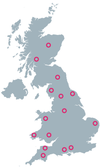
Interactive Map of the Cairngorms