Explore new places in your local area, adventure in the UK’s National Parks, or enjoy a coastal getaway with Ordnance Survey, your essential travel companion.
Known for our iconic paper maps, walking guide books, and award-winning OS Maps App, we provide inspiration for your next UK adventure here at Get Outside. From the Shetland Isles to the South West Coast Path, you’ll find plenty of ideas for your next outdoor adventure in the UK.
British National Parks
Our UK National Parks exist to enable everyone to enjoy getting outside into unspoilt nature and to preserve the stunning landscapes and diverse wildlife for future generations.
Choose a National Park from the list below or use the interactive map to start planning a National Park adventure.

Explore More UK Walking Routes and Inspiring Adventures
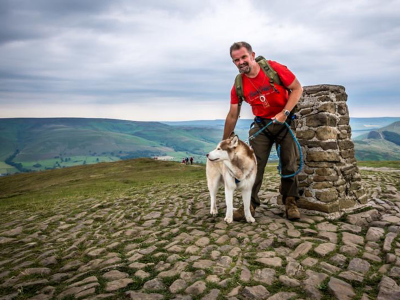
Justin Miles
Meet Justin Miles – If it’s outdoors, from the extreme to the serene, then I’m there!
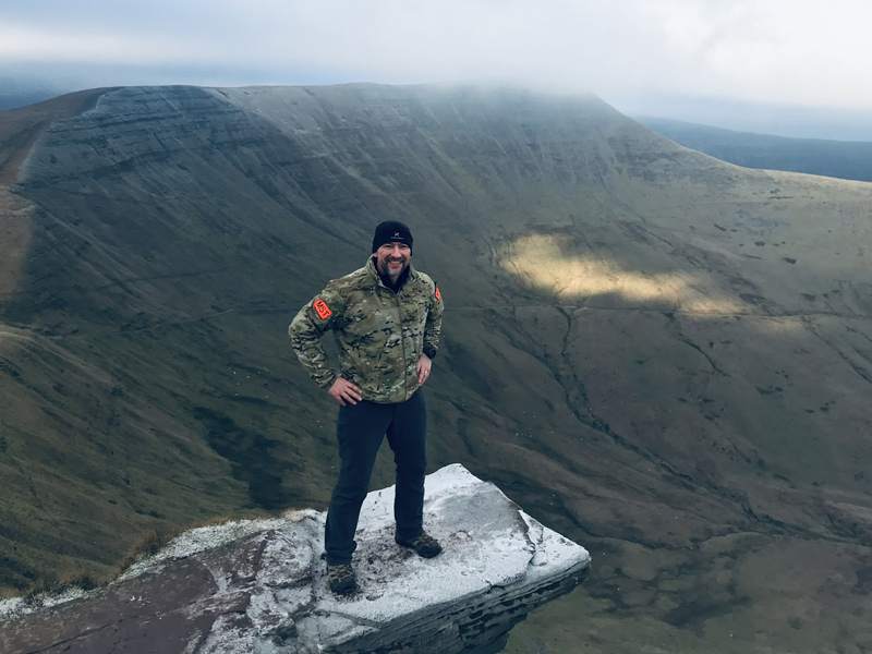
Karl Rushen
Meet Karl Rushen – Husband, Father, Brother, Six Star Chaser, Food Lover, Blacksheep!
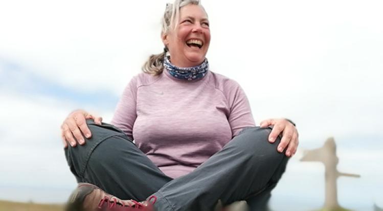
Fi Darby
Meet Fi Darby – Freelance outdoor writer and instructor, wild camper, sea swimmer and avid hiker.
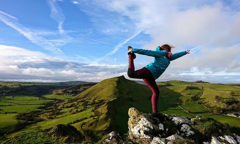
Gee Jackson
Meet Gee Jackson – a self-confessed weekend warrior accompanied by an adventure cat.
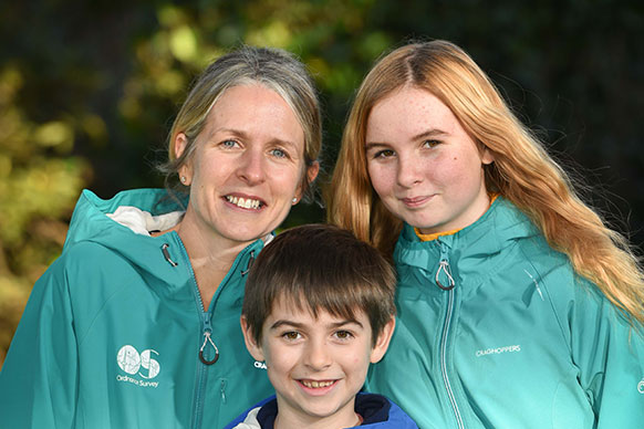
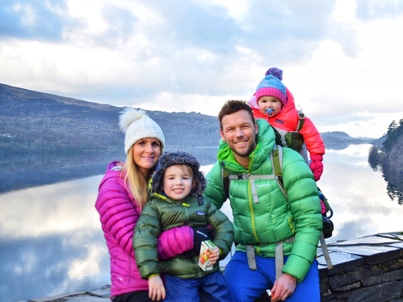
Get Out With The Kids
Meet Get Out With The Kids – Family explorers. Can be found in a tent/caravan where the kettle is always on!
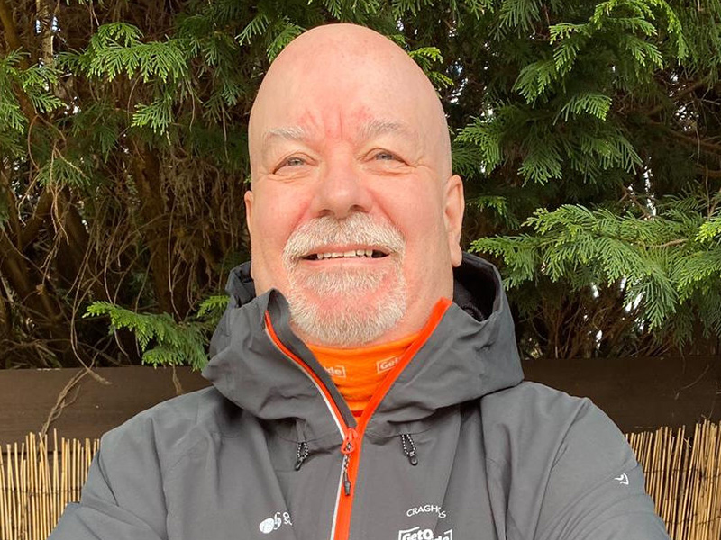
Glyn Dodwell
Meet Glyn Dodwell – Hill Walker, blogger, navigator, trainer, elder statesman and Veteran.
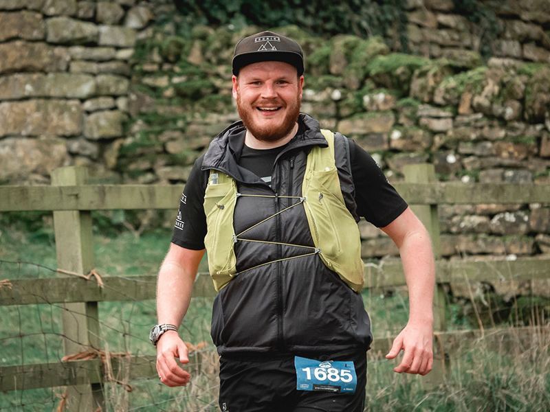
Guy Ilott
Meet Guy Ilott – Keen ultra trail runner passionate about getting outside, challenging mindsets and mental health awareness.

Debbie North
Meet OS Champion Debbie North – Lover of mountains, presenter, writer, wheelchair user, adventurer, tea drinker

EXPLORE THE
OS Shop
We are with you every step of the way. Shop our trusted walking and hiking maps and guidebooks so you can explore the outdoors with confidence.
Go to the shop