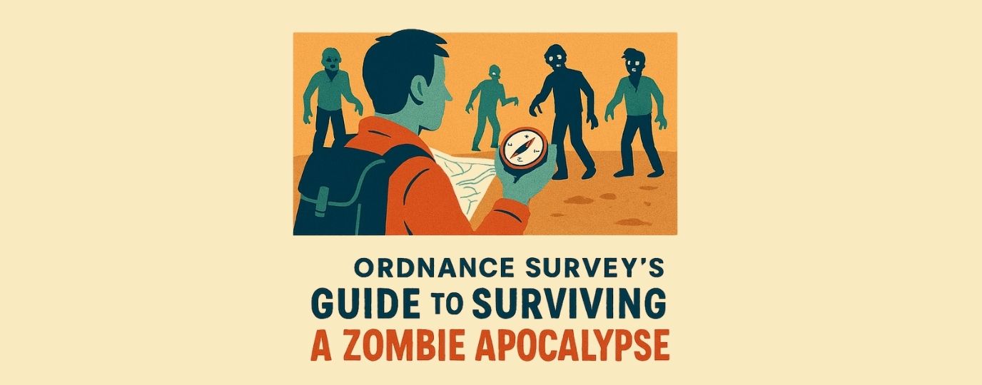
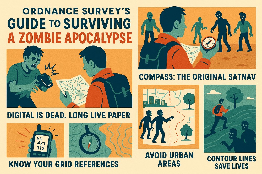
The OS Guide to the Zombie Apocolypse
So, the dead have risen. Society has collapsed. Your phone battery is at 2%, and the last signal bar flickers like a dying torch. What now?
Fear not, brave wanderer. Ordnance Survey has your back (and your grid reference)
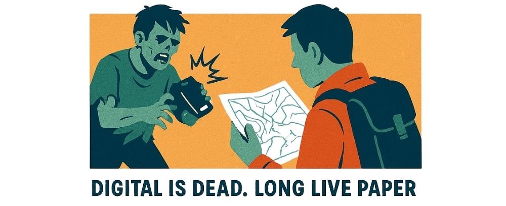
1. Offline is the New Survival Mode
When zombies chew through the data centres, your GPS app becomes a glorified torch. That’s why paper maps are your new best friend. They don’t need charging, they don’t crash, and they don’t ask for updates mid-escape.
Pro tip:
OS Explorer maps show footpaths, bridleways, and terrain, perfect for finding sneaky escape routes or remote hideouts.
Bonus: You can use them to start a fire (only if you have a spare).
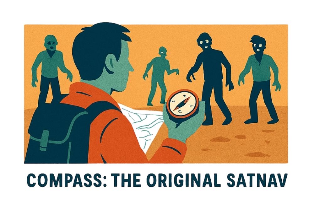
2. Compass: The Original SatNav
Forget Google Maps rerouting you through a zombie-infested supermarket. A compass never lies. Learn to take a bearing, follow a heading, and orient your map. It’s like magic, but with magnets.
- North is your friend. Unless the zombies are coming from there. Then… maybe south?
3. Know Your Grid References
When you’re radioing fellow survivors, shouting “I’m near a big tree!” won’t cut it. Learn to use OS grid references to pinpoint your location with military precision.
- “I’m at SU 373 154” will be far more helful than “I’m by the old pub with the broken sign.”
- What Three Words: RUN ZOMBIES COMING (the only ones you’ll need)
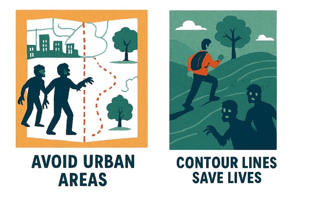
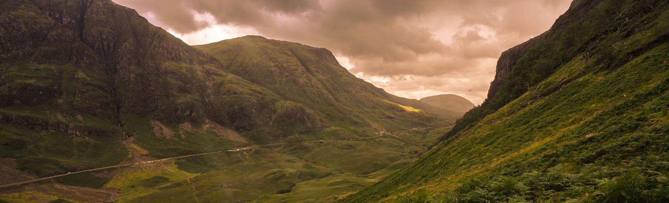
4. Avoid Urban Areas
Cities are basically zombie buffets, crowded, noisy, and full of deliciously panicked humans. Your best bet? Head for the hills. Literally. Use your trusty OS map to plot a route through remote footpaths, dense forests, and wild National Parks where the only thing chasing you might be a squirrel.
And if you really want to up your survival chances, master the art of night navigation. With a compass, a (wind up) headtorch, and a bit of practice, you’ll be gliding through the darkness like a stealthy cartographic ninja (we have lots of them at OS HQ – so head for Southampton if in need of assistance)
5. Contour Lines Save Lives
Those squiggly lines on the map? They show you where the high ground is. Zombies are notoriously bad at climbing. Head uphill. Use your map to find ridges, hills, and defensible high ground – just like our ancestors did. Try hunting out ancient hillforts which are marked clearly on all OS Maps.
OS tip:
The closer together the lines, the harder the climb both for you and the undead.
Map Reading Skills = Survival
If you can read a map, you’re already ahead of 90% of the population (and 100% of zombies). Practice now. Before the apocalypse. Because learning under pressure is hard when being chased.
Weekend idea:
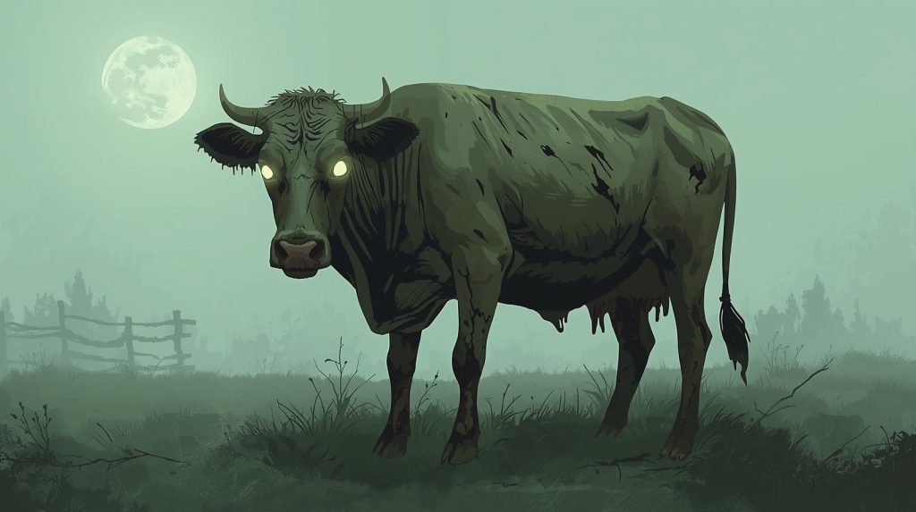
Go on a hike. Pretend the cows are zombies. Stay alive.
When the Zombies rise, the OS Paper map will become your most treasured posession . It’s not just a tool, it’s your lifeline. So stock up on paper maps, skill up, and stay sharp with lots of navigation practice.
In the zombie apocalypse, navigation is everything. The question is do you have the skills to survive…. let us know – tag us on our socials! @ordnancesurvey

EXPLORE THE
OS Shop
We are with you every step of the way. Shop our trusted walking and hiking maps and guidebooks so you can explore the outdoors with confidence.
Go to the shopExplore over 400 detailed maps of Great Britain
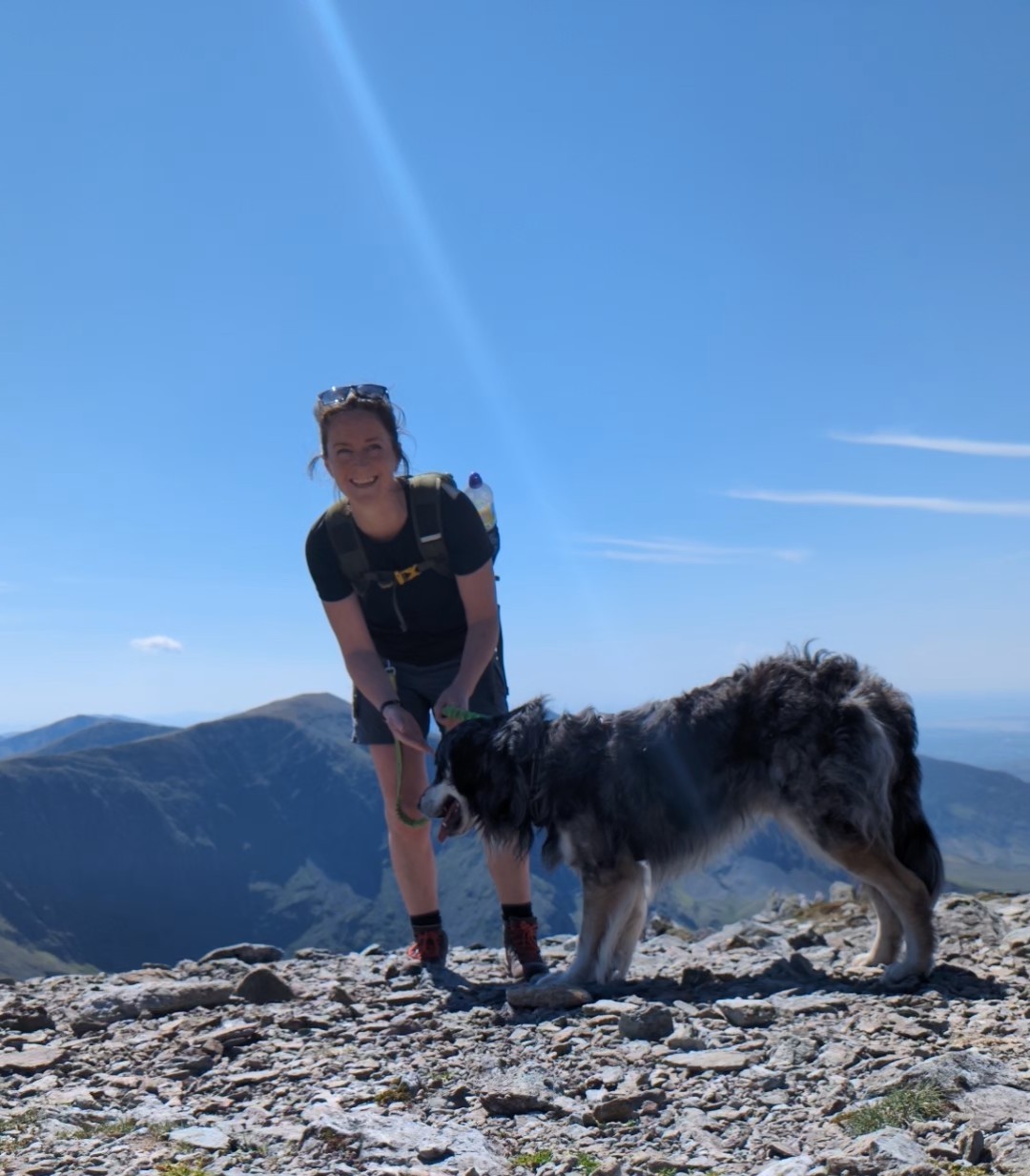
By Hilary Pullen
Meet Hilary, Editor of Get Outside – the Ordnance Survey Blog. Hilary is based in North Wales and loves hiking with her dogs in the mountains of Eryri and Bryniau Clwyd, you can find her on Instagram @nearlyuphill and read her guides to walking in North Wales on her blog. Drop her an email hilary.pullen@os.uk if you are interested in posting an article on Get Outside.