This installment of our ‘All about the…’ series takes you over the Yorkshire Wold Way national trail.
Here in the UK, we have some of Europe’s best walking and cycling routes right on our doorstep. We’ve already taken a look at some of the many sprawling National Trails on our lands, but the next installment in our “All about the…” series is one of our personal favourites. When you think of Yorkshire you might think of puddings, terriers and tea; but when we think of Yorkshire, we think of the Yorkshire Wolds Way.
The Yorkshire Wolds Way is one of four National Trails located in the county, and stretches for 79 miles from Hessle to Filey – so if you’ve ever trekked along the Cleveland Way before you’ll have either started or finished at an end-point of the Yorkshire Wolds Way. It’s considered one of the best trails for newbies as it’s not too long, the terrain isn’t as challenging, and there’s plenty to see and do en route.
The whole walk will take you around five to six days, but if you need to pick and choose which stretches you want to walk, here’s a breakdown of what you can expect.
Hessle to South Cave (13 miles)
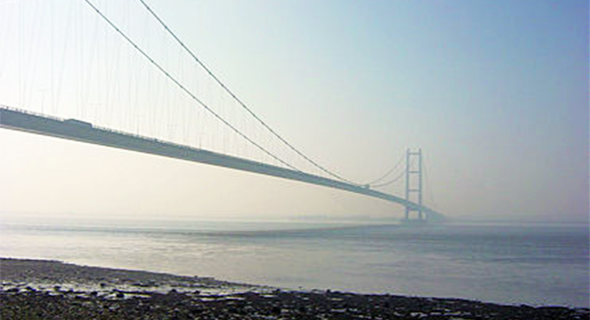
The Yorkshire Wolds Way starts off superbly, and as it’s predominantly flat it’s not too strenuous. Its route heads along the banks of the River Humber and past the Humber Bridge, providing fantastic views across the water for the first three miles or so. On a misty day the river seems more like the open sea!
The path follows the River Ouse upstream for more than two miles, before heading near the village of Welton. Here there are three wooded plantations (Long Plantation, Terrace Plantation and Bow Plantation), all of which are separated by a footbridge. You’ll begin to head uphill when passing through the Terrace Plantation, but any tiredness can be offset with a stop in the village for a bite to eat. The Green Dragon Inn comes highly recommended and is perfectly placed for the Way. Bit of history for you: highwayman Dick Turpin was a frequent visitor to the pub.
Moving on you’ll stroll through the Welton and Elloughton dales, passing Brantingham Village, before ascending to 140 metres to the top of the Ellerker North Wold. Take a breather and pour yourself a cup of the tea from the thermos as the views here are sensational. When you’re ready to move on it’s another climb up to Mount Airey Farm before you descend to South Cave. There are plenty of places to stay the night here, so that’s a wrap for day one.
South Cave to Market Weighton (12 miles)
Wake up and breathe in the fresh country air as you prepare for day two. You’re truly out amongst nature here, with Hull seeming forever away, and you might not even see another person for hours! The day begins by heading east towards Comber Dale, accounting for the first mile of the day and a climb of roughly 100 metres. You’ll spot an old railway by the neighbouring Weedley Dale – it’s worth a visit.
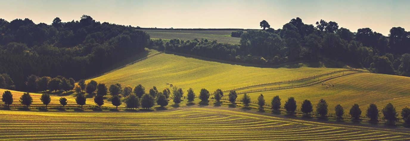
The path continues along country roads until you reach Swin Dale, which boasts lush green landscapes stretching for miles. A nondescript few miles follows as you continue on your way to Goodmanham – a beautiful village that makes up for any lacklustre with its impressive church and fantastic ale brewery.
A few miles further along the way and you’ll come to Londesborough Park and its signs of ‘Caution, cows with calves can be aggressive’. Don’t let them put you off – whilst there are animals inside the gates, chances are you won’t even see them on your trek. When you reach Market Weighton you can either stay there for the night, or depending on the time/your energy levels you could carry on for an another hour and a half to Nunburnholme.
Market Weighton to Fridaythorpe (17 miles)
After you’ve left or passed through Nunburnholme, you’ll be heading into Bratt Wood which will give you superb views down onto the town of Pocklington. This stretch is often cited as the best by keen walkers as has a bit of everything; a steady climb to 200 metres above sea level, wonderful surroundings, and inspiring views.
The Sylvan and Pasture Dales are individual highlights, as you pass through dale after dale on the last few miles of the day. When you get to Fridaythorpe, stop by the St Mary’s Church before resting up at your hotel. Its clock face reads “Time is Short, Eternity is Long” – which, depending on your mood at the time may inspire you to keep moving! Trusting that the weather stays nice, this is a fantastic day of walking.
Fridaythorpe to Sherburn (22.5 miles)
You’ll kick off day four with an hour walk to the village of Thixendale, which is one of the stiffest climbs you’ll face along the way. However, around 215 metres up and the ground will flatten out along the Cow Wold Barn and onto the Vessey Pasture Dale. A little further along and you’ll spot Wharram Percy – a deserted medieval village which was part of the East Riding of Yorkshire until the 1974 boundary changes. The church and the railway house remain intact, so it’s worth stopping by.
Continuing up the way you’ll soon arrive at Wintringham. It’s another pretty steep stretch but it won’t take too long to climb, and when you’re up the hill you’ll find a sculpture from artist Jony Easterby. It’s called ‘Enclosure Rites’ and overlooks the Vale of Pickering. It’s
Eventually you’ll drop down into Sherburn where you may choose to spend the night. If you’re ending your walk here you’ll have good public transport links to Leeds, York, Malton and Scarborough. If not, you’ll complete the walk tomorrow in Filey Brigg.
Sherburn to Filey Brigg (17 miles)
The final stretch on the Yorkshire Wolds Way will take you onto the Wolds for the last time as you pass Sherburn and Ganton, before admiring the landscape at Staxton Brow. The path then dips into Staxton Wold and onto the final two dales of the way – Camp Dale and Stocking Dale.
You’ll now be heading into the town, signalling you’re near the end. When you’re in Filey you’ll want to head towards to sea to really feel a sense of completion! Find yourself a pub (perhaps the Three Tuns Hotel) and celebrate your accomplishment with a welcome tipple. Who knows, by this point you may want to keep going – and if so, the Cleveland Way starts very nearby!
If you’re looking more inspiration for future walks, check out ITVs top 100 walks, as voted for by you!
