Your guide to this beautiful route through Wales.
The Cambrian Way is a 298-mile walk from south to north Wales (Cardiff and Conwy), coast to coast, through incredible upland and mountain scenery. Tackle it in one go or break it down into sections, find out all you need to know about walking the Cambrian Way in this comprehensive guide.
Discovering the Cambrian Way
If you’ve spent time walking in the mountains of Wales over the past few years, chances are you may have come across the white and green waymarkers with the intriguing symbol of a Welsh lady hat. You may have seen it crossing a stile over a old stone wall, or on a gate opening to rugged mountain terrain. I’m fortunate enough to spend a lot of time walking for my work as a guide at Wild Trails Wales, and I’ve spotted a fair few of them. However, it wasn’t until I was invited out with Trail Officer Olie Wicks, at Ramblers Cymru, that I became aware of the true magic of the Cambrian Way and that is now in OS Maps!
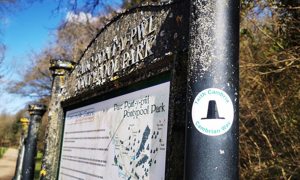
Cambrian Way waymarker
The Cambrian Way is a 298-mile walk from Cardiff and Conwy, vertically spanning Wales’ two coastlines. The essence of the Cambrian Way is the mountains, but the route does dip down into lowland areas to explore different towns and villages. This offers a fantastic variety of scenery and the chance to absorb Welsh culture and heritage.
The History of the Cambrian Way
The route was devised by the late Tony Drake, a devoted Rambler and mountaineer, who was involved in the establishment of the Cotswold Way. He was also an active member of the YHA and Club President of the Gloucester Mountaineering Club. Tony was enamoured with the Welsh mountains and became passionate about establishing a long-distance route over them. He worked to create a route and even wrote a guidebook. However, at the time there were some resistance from authorities and the route, though somewhat legendary among those who knew, remained off the mainstream radar.
After his death, three of Tony’s friends continued his work in developing and overseeing the Cambrian Way. They set up the Cambrian Way Trust and entered a partnership with Rambler’s Cymru. In recent years, a huge effort has been made in embedding the route into the landscape and raising its profile; waymarking has been completed along the entire trail, a new guidebook was published that includes Ordnance Survey mapping, and plaques marking the starting point in Cardiff and end point in Conwy have been unveiled. Perhaps the most exciting development though, is the inclusion of the route on Ordnance Survey digital mapping, both on the mapping itself (green dashes with diamonds indicating recreational route) and as an actual route which you’re able to follow and see the profile. This is available on both the OS Maps app and web version. For the Cambrian Way to reach this stage is the result of a lot of hard work by Ramblers Cymru and the Trust, and all the many partners and stakeholders including landowners, local councils and National Park authorities.
Setting out on the trail
It wasn’t long after being invited out to walk some of the trail with Ramblers Cymru that I decided I would walk the entire Cambrian Way. How better to immerse myself in a country that I love, than to walk its entire length? With a busy work and family life to juggle, I didn’t have the opportunity to take the 3-4 weeks required to walk the route in one go, so I began walking it in stages. Breaking down big challenges and adventures into smaller time-friendly chunks is a great way to satisfy the pull for travel, adventure and challenge when you have responsibilities and a busy day-to-day life.
The Cambrian Way has 21 stages in total, with an average of 14-miles and 1,000 metres of ascent in each. So far, unwittingly over the years, I have walked nearly all the stages 1-10 and from 15-21. As I have some missing links in places that I need to return to, I have begun the entire route again from Cardiff and have now reached stage 5.
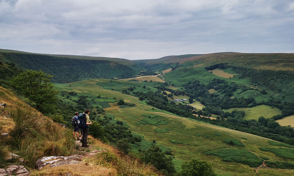
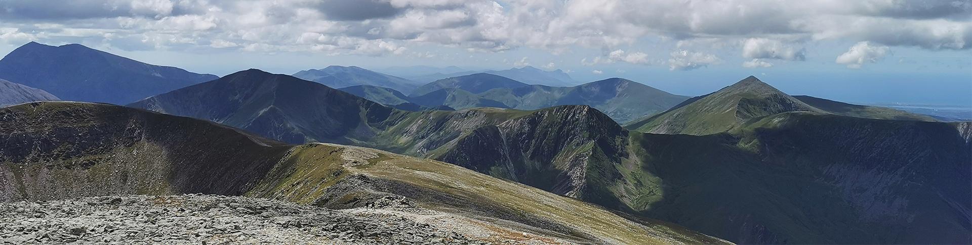
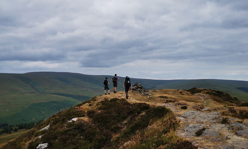
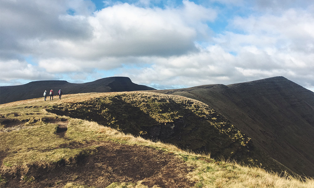
Abergavenny to Capel y Ffin (stage 4)
My most recent walk was stage 4, from Abergavenny at the foot of the Black Mountains to Capel y Ffin, a hamlet nestled in a valley 8-miles south of Hay on Wye. For this stage, I was back walking with Olie and Joe from Ramblers Cymru. We left one car at Capel y Ffin and drove back to Abergavenny to begin our walk. This was my first stage following the Cambrian Way with the OS Maps app and this made it notably easier to get out of the town and take the correct approach up to Pen y Fâl / Sugarloaf.
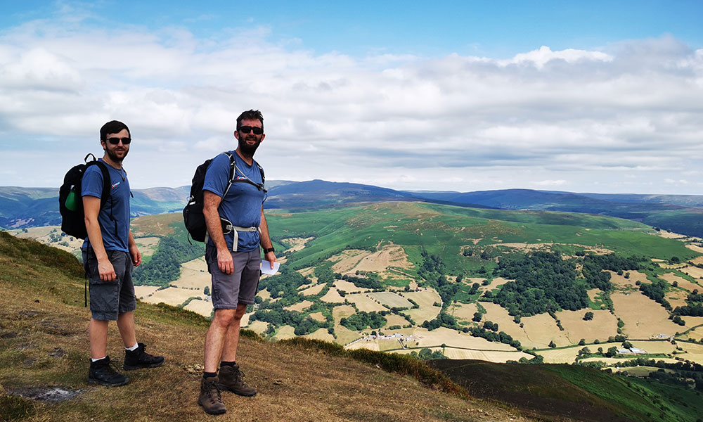
Cambrian Way stage 4
There is a steep uphill climb through some beautiful woodland before reaching open forest and finally the summit which boasts exceptional views. As we descended to our next waypoint, Forest Lodge, we met a Dutch man called Tom who was walking the entire Cambrian Way over four weeks. We introduced ourselves and Tom was thrilled when Olie produced a Cambrian Way pen and sticker as souvenirs! We walked the rest of the route together, through lowland farms, old green lanes and back up onto moorland. We continued along a narrow grassy ridge with classic Black Mountain scenery leading to our first mountain; Chwarel y Fan. A steep descent through hawthorn, ash and oak trees clinging to a steep escarpment, led us down to Capel y Ffin, where we said our goodbyes to Tom and found the car.
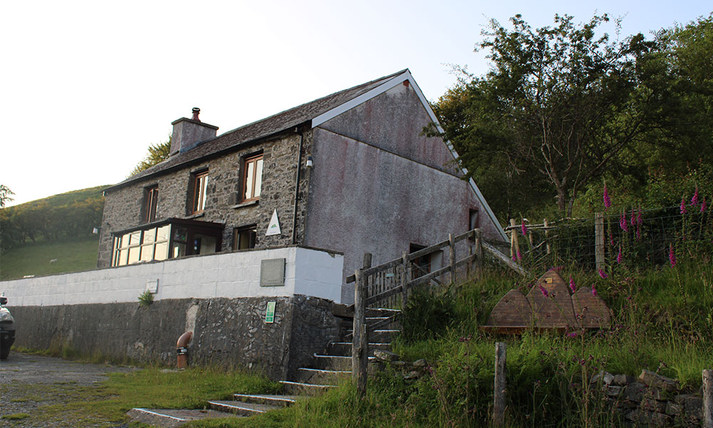
Ty’n Cornel Hostel
Highlights of the Cambrian Way
Every stage is special and has several highlights, so it is difficult to pick just a few. Here are my best bits so far:
- Iron age fort Twmbarlwm (stage 2)
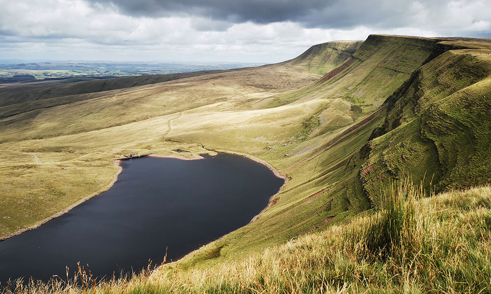
- Standing on the diving board at Fan y Big in the Brecon Beacons (stage 6)
- The colourful, traditional town of Llandovery (stage 7)
- A stay in Ty’n Cornel Hostel at the top of the Doethie Valley (stage 9)
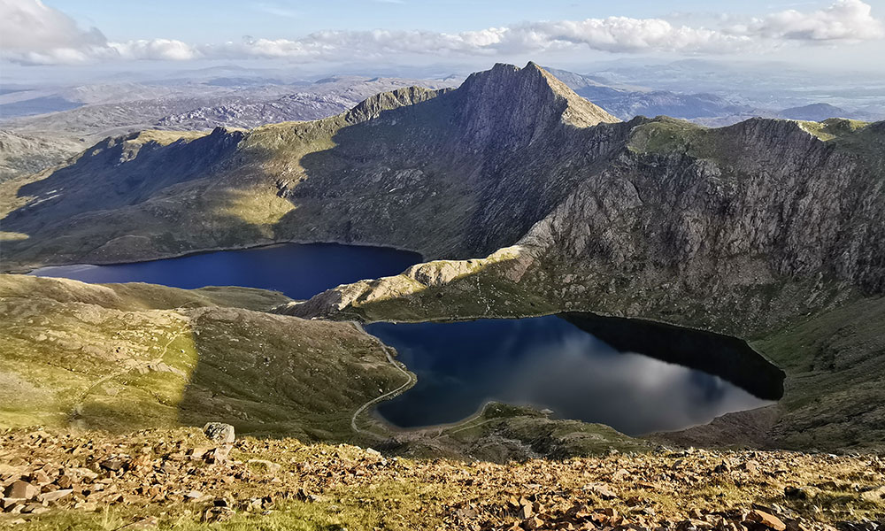
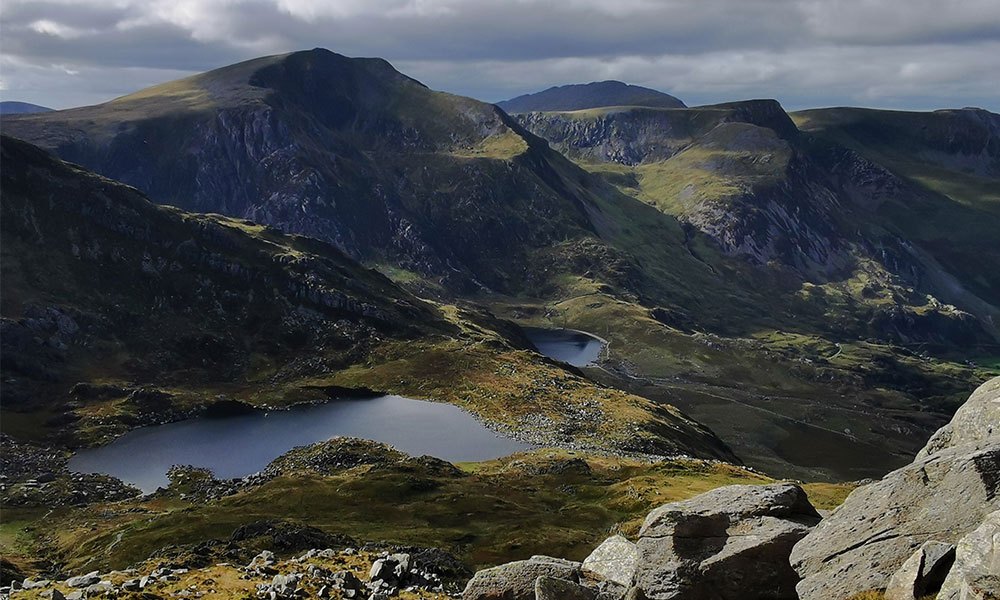
- The rugged landscape and sparkling blue lake between Rhinog Fach and Y llethyr (stage 16)
- Riverside walk along the Aberglaslyn Pass (stage 18)
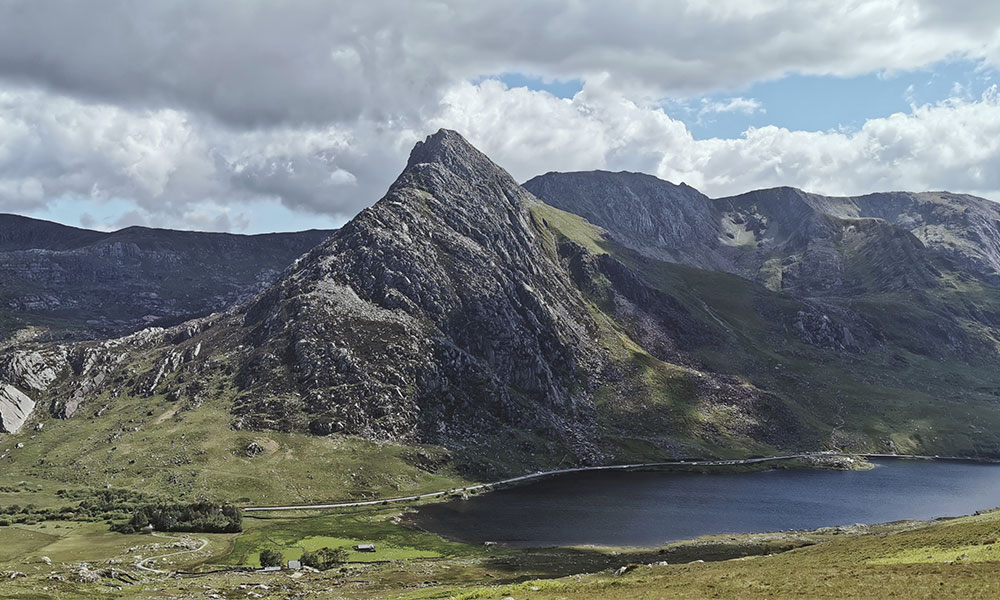
- Rock formations of the Glyderau (stage 20)
Planning your walk on the Cambrian Way
Walking the Cambrian Way, even in stages, does require some pre-planning. The Cambrian Way is an upland route and in many places remote, where careful consideration of weather and navigation is needed. The first few stages from Cardiff are relatively straightforward with good public transport connections either end and you’re never too far from a town to retreat to. This offers a gentle introduction to the trail. Once you reach stage 4 onwards in the Brecon Beacons, public transport options dwindle and to walk the route stage-by-stage usually means inviting a friend and leaving a car at each end.
Planning is key to having a good experience. My business is partnered with AdventureSmart UK, who have fantastic advice on enjoying the outdoors safely and enjoyably.
5 things you need to know before walking the Cambrian Way
- The trail is not fully marked nor is there always a visible path on the ground, so take some time to brush up on your map reading skills and download the OS Maps app where you can follow every stage or the entire route.
- The terrain is incredibly varied – you set off on a flat, paved path through Bute Park in Cardiff, but at some points you could be knee-deep in bog or climbing over steep rocky ground.
- Accommodation isn’t always available in the more remote sections; you may need to be prepared to camp.
- A good rule of thumb for water is 2 litres per stage, though on hot days or if you’re carrying a large bag, you may need more. A water filter bottle is ideal. The Refill Wales app may also come in handy.
- In the more remote parts of Wales public transport can be scarce, so plan your journey ahead of time.
The Cambrian Way in OS Maps
Before I set off, I used the guidebook to plot the route in the OS Maps app so I could follow it offline once on the trail. Although I enjoyed this planning process, it has now become infinitely easier as the route can clearly be seen on OS digital mapping. This has saved me huge amounts of time! I can’t tell you how excited I was when I first started to see those green Cambrian Way diamonds appear! The Cambrian Way Trust website also has some useful information on preparing for the route.
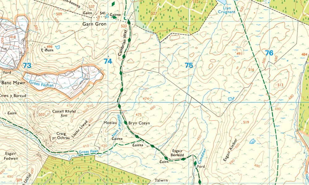
The Cambrian Way in OS Maps
Navigation skills are also important, as although waymarked and visible on the OS Maps app, there are many sections of open, remote, rugged terrain with patchy phone signal. For this, I make sure to download the route and mapping before heading out, so I can see where I am offline. I also carry a paper map and compass as a back-up.
Always pack for the weather
Weather is another important consideration, with upland and mountainous terrain usually experiencing more severe weather than the lowlands. A good mountain weather forecast is essential and for this I use both Mountain Weather Information Service and the Met Office Mountain Weather specialist forecast.
Given the remote terrain, I take good care in packing, ensuring I have my trusty waterproof layers and plenty of water and food for the day. Despite being a mountainous route, summer can be surprisingly dry, so making sure I carry enough water is key. At other times, I swear by my water filter bottle for safe refilling anywhere.
Walking the Cambrian Way, whether in one go or in smaller sections that fit with your life, is a beautiful and life-affirming way to discover Wales. It will take you into parts of the country that you might never otherwise visit and leave you with incredible memories that last far beyond the aching limbs!
Find the Cambrian Way on OS digital mapping including the OS Maps app and web version.