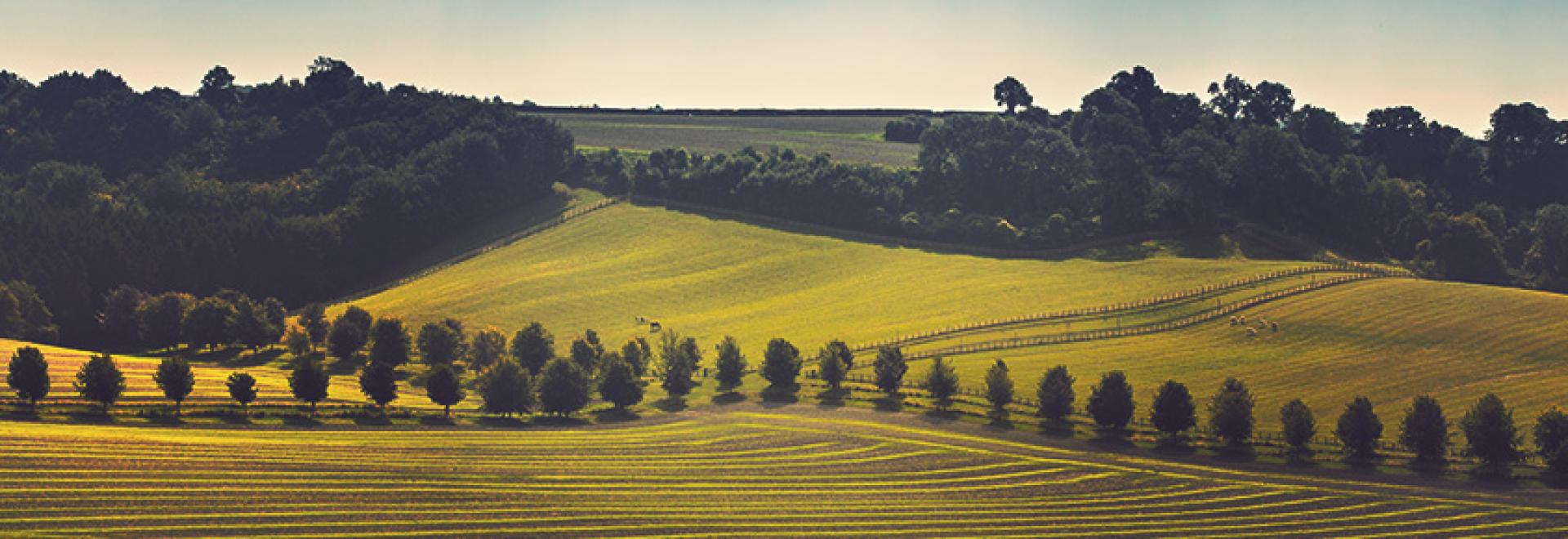
Situated between Eastbourne and Winchester, the South Downs Way is a designated National Trail which meanders 101 miles through some of Sussex and Hampshire’s most stunning countryside.
Situated between Eastbourne and Winchester, the South Downs Way is a designated National Trail which meanders 101 miles through some of Sussex and Hampshire’s most stunning countryside.
From chalky cliffs to endless green fields, it’s a popular route which attracts walkers, hikers, horse riders and bikers; not to mention families having a picnic or couples enjoying a short stroll.
Here’s all you need to know about the South Downs Way:
History
The South Downs Way was given its special status in 1972 and runs along a chalk ridge through the South Downs National Park. It is one of only 15 National Trails in England and Wales. The chalky terrain means that the trail stays fairly dry year-round, making it accessible no matter the season.
The trail itself is linear, so if you want to traverse the entire route from start to finish, you’ll probably need to factor in both transport and accommodation, unless you’re going to make use of one of the campsites or hostels on the way. However, there are lots of shorter/ circular walks which are all are clearly marked.
Activities
The trail is open to walkers, cyclists and horse riders. Its undulating countryside makes it perfect for hiking and its elevation provides some of the best views in the UK – so remember to pack your camera and binoculars.
Some of the most popular walks include the Shipwrights Way, a 50-mile route which starts at Alice Holt Forest and runs right the way down to the Portsmouth Historic Dockyard. It’s so-called as back in medieval times, wood from the forest was used in ship building.
Then there’s the Seven Sisters & Friston Forest walk, a somewhat shorter loop which measures just eight miles. This takes in awe-inspiring sea views, skimming the villages of East Dean and Friston. A stop at Birling Gap for a cup of tea will reward you with a wonderful panorama of the cliffs.
If you’re visiting the Hampshire side, then the circular route around East Meon is a delight, passing through some beautiful countryside and tracing the river’s edge. At eight miles, this should take no longer than six miles if you’re ambling.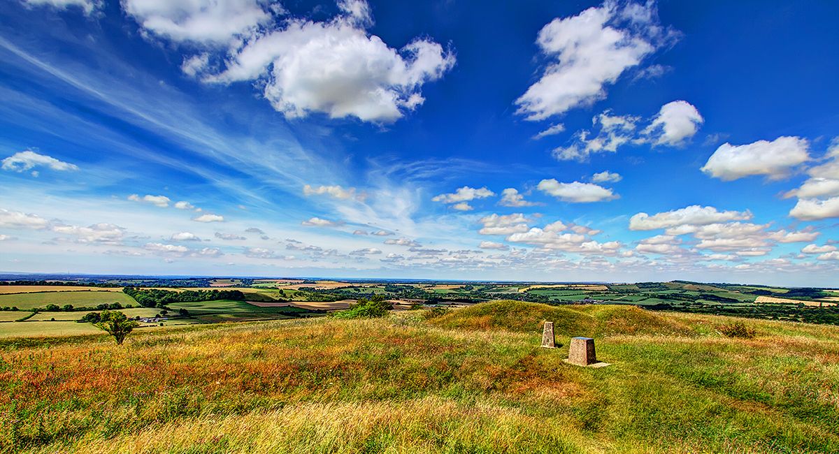
View from Old Winchester Hill
Highlights
Those travelling on horseback will be pleased to learn that the entire route is suitable, with extra loops at Amberley & Bignor Hill and Rodmell Village. You’ll find regular water stops en route and there are many sites and establishments that offer stabling and/or horsebox parking, should you wish to stay overnight.
Cyclists will find the same stretches and loops open to them and most campsites and hostels have secure cycle storage on site. If you start on foot and decide you fancy shifting to two wheels, you can find bike hire shops in Meon Valley, Midhurst, Shoreham-By-Sea, Hassocks and the Seven Sisters Country Park.
For other events and activities, keep an eye on the National Trail website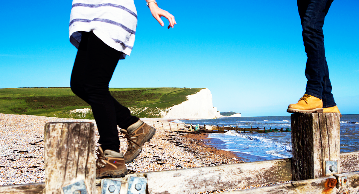
There too many highlights on the trail to mention individually, but to whet your appetite, you could peruse the pretty towns of Lewes and Petersfield – both of them market towns. One of Lewes’ particular draws is Harvey’s Brewery – the oldest in Sussex. Then there’s the village of Amberley, with not only a castle, but a museum and heritage centre that boasts a narrow-gauge railway, traditional crafts and vintage buses.
Midhurst is another market town, sadly a bit of a thoroughfare on the A272, but this doesn’t impact its attractiveness and character. It also features the Tudor ruins, Cowdray House and over 100 listed buildings, some of which can be explored on the town walk.
If your preferences lean towards natural landscapes, then Ditchling Beacon and Devil’s Dyke are two well-known beauty spots not to miss. Both offer views of Brighton and the sea, if you don’t mind a hilly climb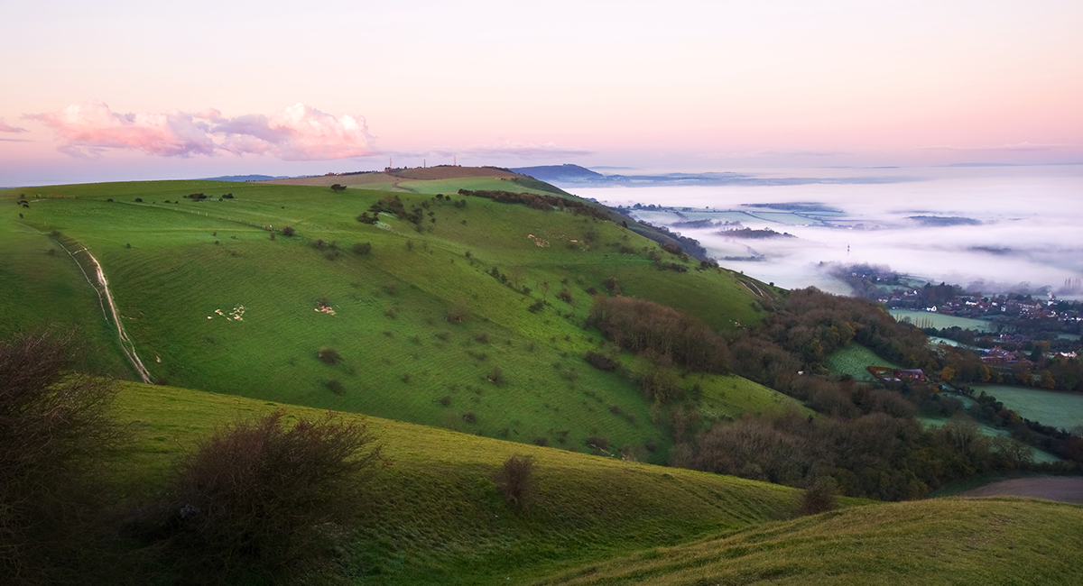
View West across The Weald from Devil’s Dyke
Eating and drinking
All that walking will leave you no doubt in need of some rest and refreshment. Fortunately, there are plenty of good pubs and cafes on the route. Among the highly rated pubs/gastro pubs are The Bull in Ditchling, The Black Boy in Winchester, The Jolly Sportsman in East Chiltington and The Milbury’s in Beauworth – the latter complete with skittle alley.
For a good cream tea, try the Amberley Village Tea Rooms, Moonlight Cottage Tea Room and Garden in Cocking or the Hiker’s Rest in Saddlescombe, a new tea shop right on the South Downs Way.


The Black Boy, Winchester
Accommodation
If you are making a short break out of your visit, you won’t be short of a room / pitch for the night. With campsites and hostels near Newhaven, in Lewes, Brighton, Arundel, Midhurst, East Meon and Cheriton, to name but a few, you could quite cheaply sleep your way along the entire route.
However, should the thought of carrying your own sleeping bag and spork fill you with dread, there are dozens of B&Bs and hotels on the way. You could end your journey with a night in the historic Wykeham Arms in Winchester, where allegedly Lord Nelson himself once stayed, or the highly-rated Langham Hotel in Eastbourne were you could feast of cuisine fit for a king.
Whether you’re young or old, fast-paced or a slow walker, the South Downs Way has something to offer. If nothing else, you can see parts of the country which are simply spectacular.
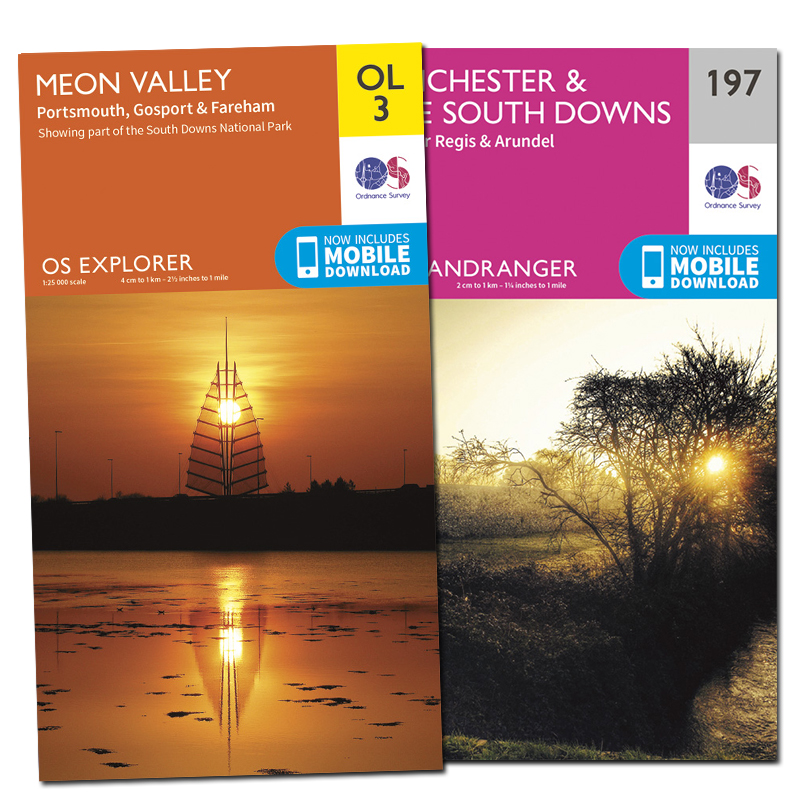
OS Paper Maps
Never explore without one
Stay safe, and stay active with Britain’s most accurate outdoor maps
Be inspired to do more and go further by equipping yourself with the best tools for the job. Our maps are built on 220 years of experience – we keep walkers, runners, cyclists and more safe in the great outdoors all year round.
SHOP NOW
