UK Route Guides – Get Inspired & Get Outside
Discover great outdoor activity ideas and detailed uk route guides from OS Maps to follow. Inspiration for finding new UK hiking routes, running trails, cycling routes and even your next paddle adventure.
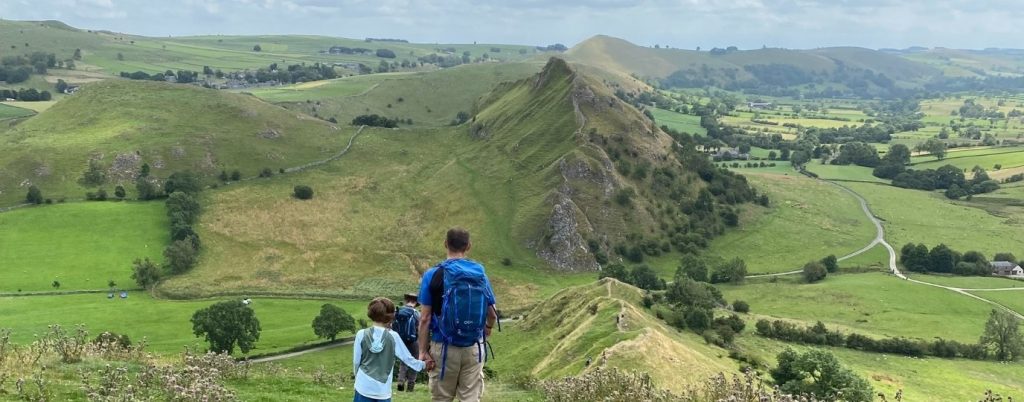
Dragon’s Back Walk Chrome Hill – Peak District
Dragon’s Back Walk up Chrome Hill in the heart of the Peak District. The scenery is lovely! Just don’t wake the dragon!
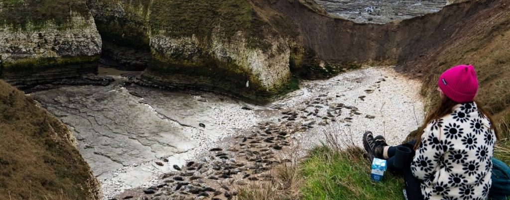
Flamborough Lighthouse Walk – Yorkshire Coast
Seal spotting on a Flamborough Lighthouse Walk, this headland is known for being one of the most spectacular chalk cliffs in the UK
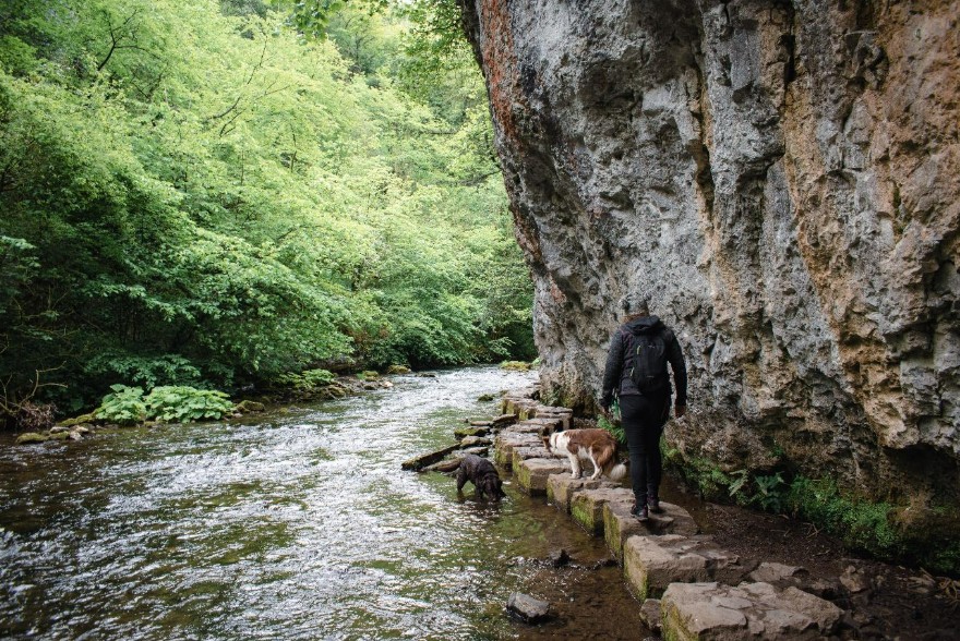
Chee Dale Stepping Stones Circular Walk
Chee Dale Stepping Stones: Lush, green, rolling countryside, a 200ft craggy limestone gorge, an abandoned quarry & historical lime kilns
Bures Dragon Circular
A fun Bures Dragon circular passing through areas of the Stour Valley and Dedham Vale (AONB)
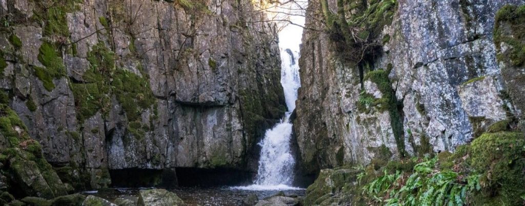
Catrigg Force Circular Walk
This Catrigg Force circular walk is a great short walk with amazing views and geology to marvel at!
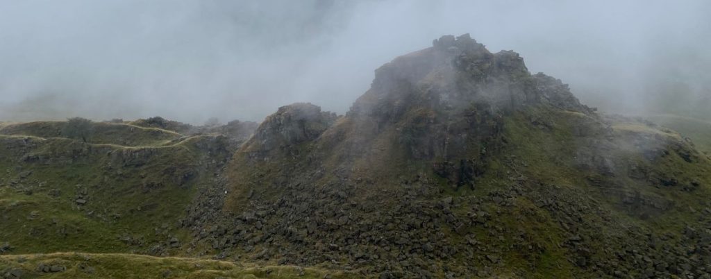
Alport Castles Circular Route – High Peak
A circular walk to the impressive Alport Castles with its towers of rocks almost precariously standing tall in the valley
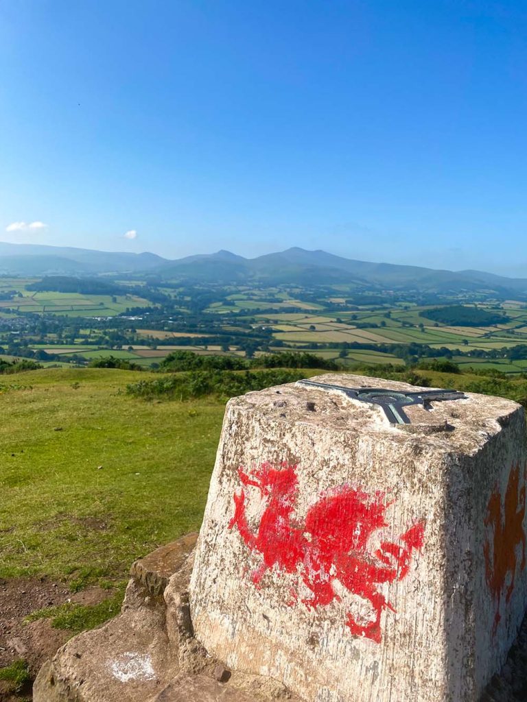
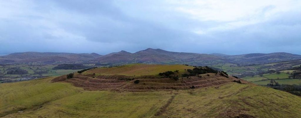
Pen y Crug & Maen-du Well Walk
Take a walk up Pen Y Crug Hillfort – a historical and beautiful area with views of Bannau Brycheiniog
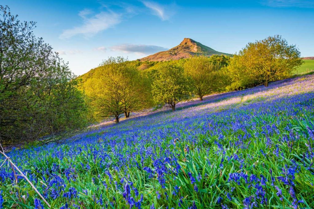
Roseberry Topping Walk – A Perfect Family Hike!
Roseberry Topping Walk – The iconic Roseberry Topping Hill sticks up like a fang from the long escarpment at the northern edge of the North York Moors.
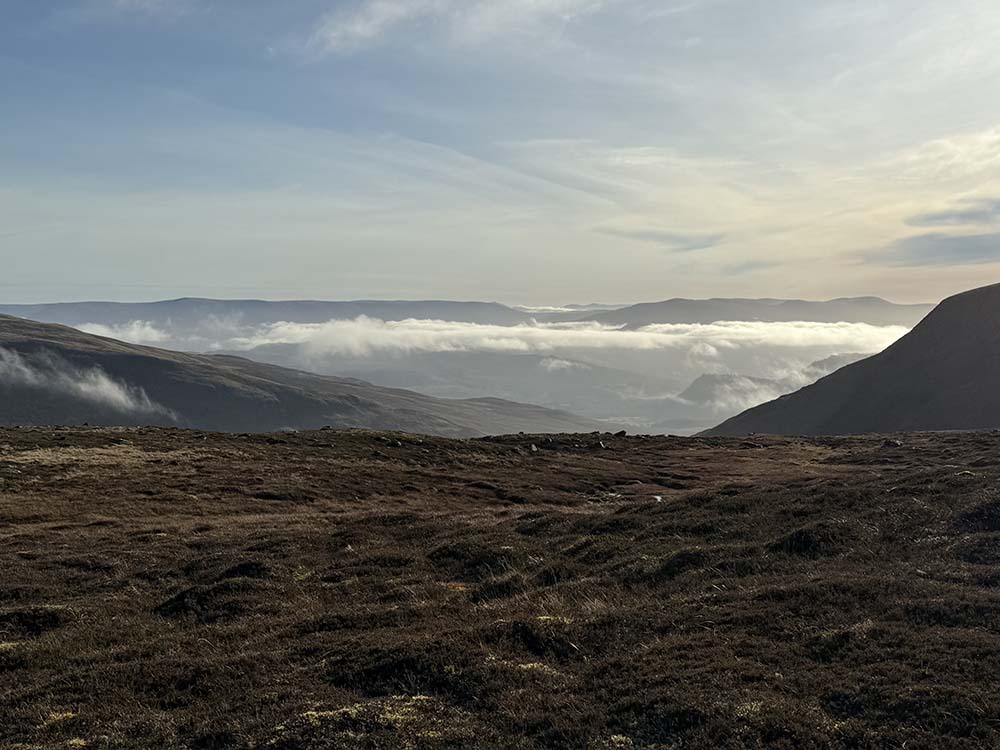
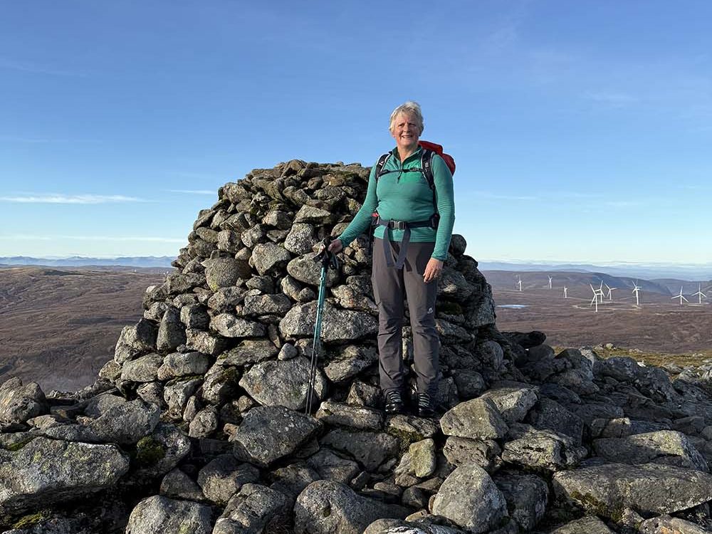
Geal Chàrn Circular Route – 926m Munro
Suzanne and Nick Anderson explore the wilds of Geal Chàrn, a 926 metre Munro for your peak bagging checklist!