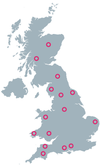
UK Route Guides – Get Inspired & Get Outside
Discover great outdoor activity ideas and detailed uk route guides from OS Maps to follow. Inspiration for finding new UK hiking routes, running trails, cycling routes and even your next paddle adventure.
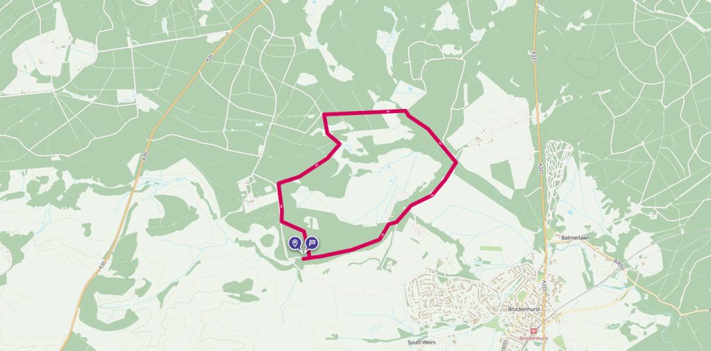
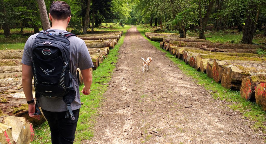
Discovering rivers and woodland in the New Forest
The New Forest, famous for its ancient heathland and wild ponies, is full of woodlands and wildlife, making it a perfect place for walking.
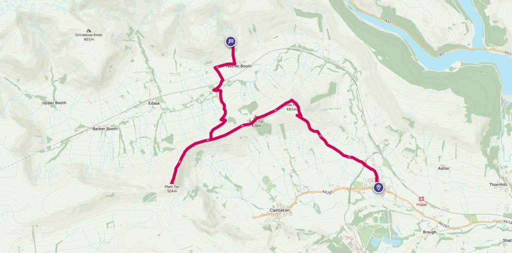
Car-free Peaks in the Peak District
Public transport accessible walk taking in two peaks – Lose Hill and Mam Tor. Sweeping views, ig, rocks for fun photos, possible pooh sticks and the option to descend to Edale village for refreshments. With well-marked paths and mostly steady grades this walk shows off the best of the area. Public transport available at both ends, or park in Hope and retrace your steps from the Mam Tor summit.
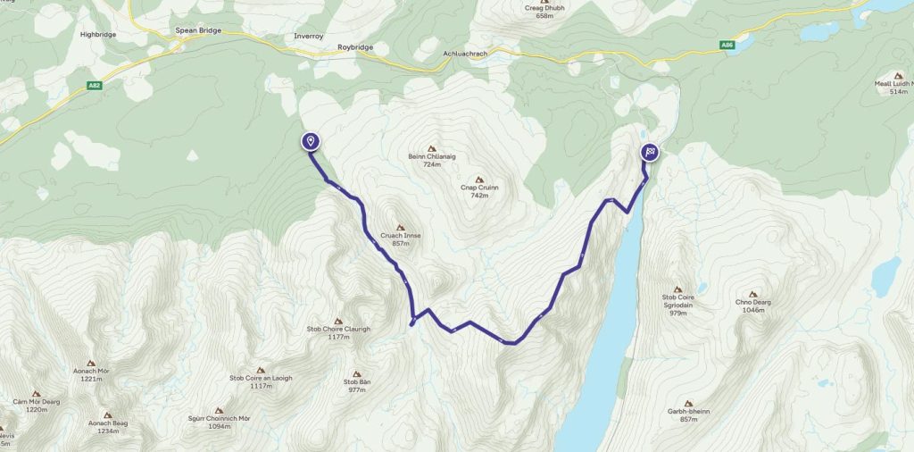
A bothy adventure and two Munros
OS GetOutside Champion Cat Webster takes us on a two-day bothy adventure, taking in two Munros along the way.
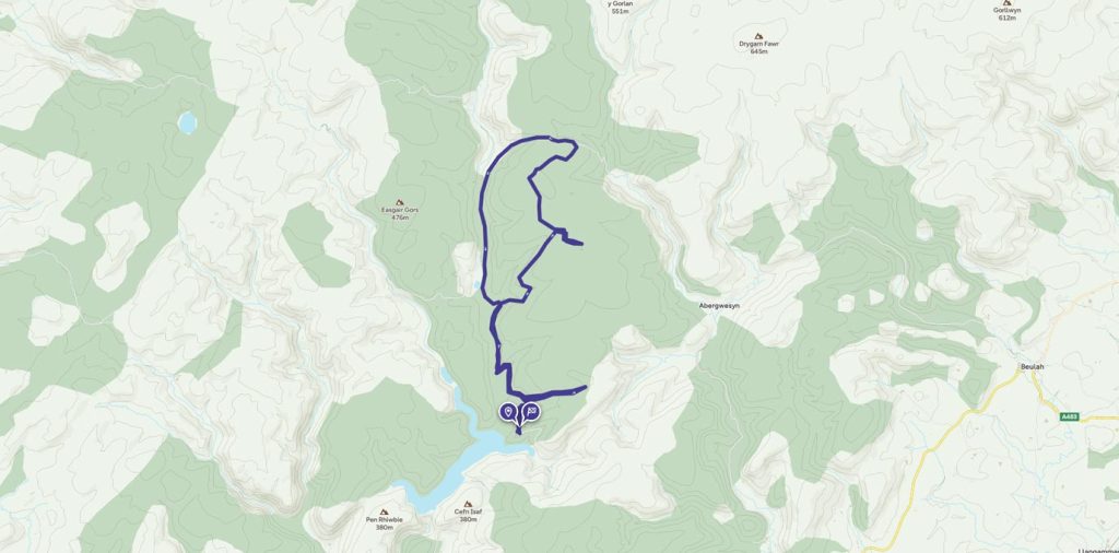
Llyn Brianne reservoir ride
Llyn Brianne is a spectacular reservoir nestled in the Doethie Valley, Mid Wales surround by the beautiful Tywi Forest. It was named after a stream Nant y Bryniau, which in English translates stream in the hills. This picturesque body of water is the head of the River Tywi.
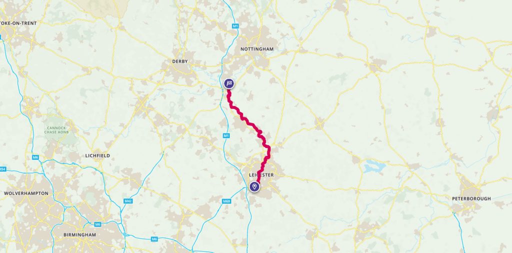
Wonderful waterways
GetOutside Champion Debs Butler takes us on her stand up paddleboarding river trip in the Midlands.
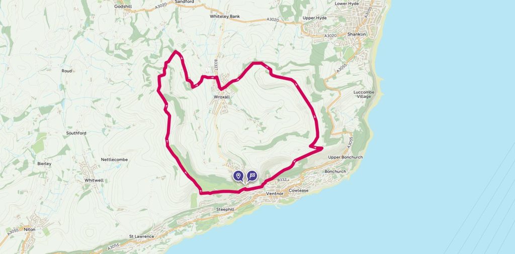
Up the Downs and Down the Ups on the Isle of Wight
This route was added to OS Maps last year by Country Walking magazine. With a free weekend, Jonathan and partner headed off on the ferry to give it a try.
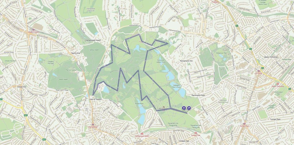
A run with a twist – hunting posts in Hampstead Heath
Orienteering doesn’t require technical kit, is very affordable and there are events held most weekends in rural and urban areas, as well as free fixed courses in forests and parks across Britain.
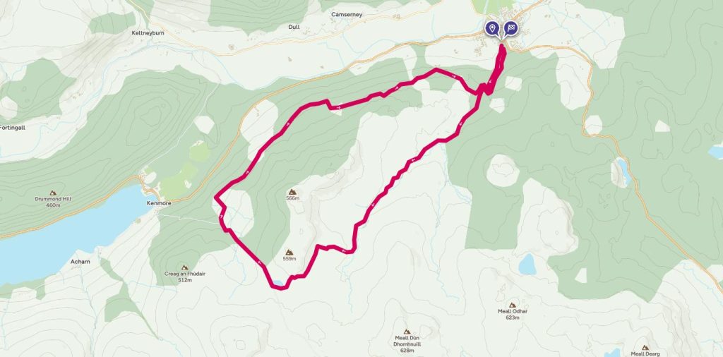
Birks of Aberfeldy and Rob Roy Way
Discover the beautiful gorge at the Birks of Aberfeldy immortalised in the poem by Burns. This 21km circular walk includes parts of the Rob Roy Way.
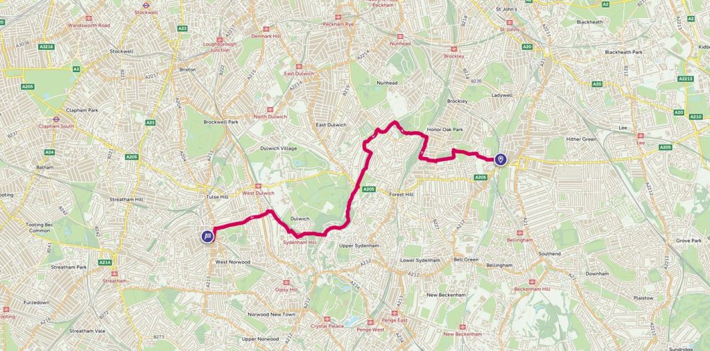
Urban Trails
Finding running routes in urban areas may not be as hard as you think. Mountain runner Max Nicholls tells us how he trains for National and World Championships by finding routes in South London.