The Broads’ landscape is actually man-made which was constructed as a byproduct of two centuries of excavation. During the 12th century the woodland areas in Norfolk had been cut and inhabitants started to dig enormous pits to find peat to use as a fuel source. This resulted in the channels gradually becoming filled with water and creating a spectacular wetland.
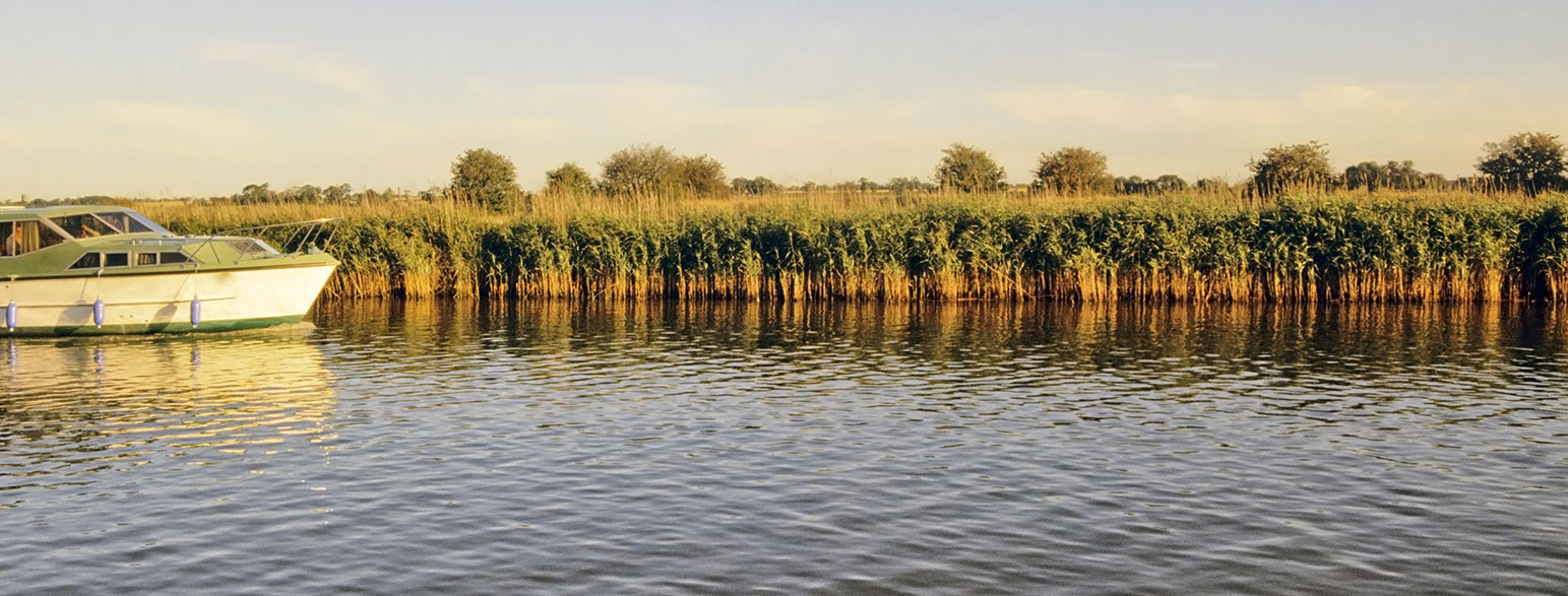
The Broads also has a diverse ecosystem ranging from water shrews to larger mammals such as otters. Many plants growing in this area, like stoneworts, are unique to the Broads as well as species of bird such as Cetti’s warbler, this being the reason why its Britain’s largest protected wetland. As well as the fantastic wildlife, The Broads is also known for its range of watersports, including hire of motor cruisers and yachts.

EXPLORE THE
OS Shop
We are with you every step of the way. Shop our trusted walking and hiking maps and guidebooks so you can explore the outdoors with confidence.
Go to the shopNorfolk Broads Guide Books and Maps
Unlike other UK national parks, which were created under a single national law, the Broads took a different path. It was officially established by its own special legislation—the Norfolk and Suffolk Broads Act of 1988. This act didn’t just create a protected area; it also set up the Broads Authority, a unique organisation with powers similar to those of a national park authority—but with extra responsibilities, especially when it comes to managing the waterways.
Where are the Norfolk Broads?
The Broads are in Eastern England, primarily in Norfolk and Suffolk. The city of Norwich is nearby, and the park is known for its network of rivers and lakes ideal for boating and wildlife watching.
Key Features of The Broads
- 63 broads (lakes), of which 13 are open to navigation.
- 7 main rivers: Bure, Yare, Ant, Thurne, Waveney, Chet, and Wensum.
- Home to rare wildlife like bitterns, otters, and swallowtail butterflies.
- Popular for boating, fishing, birdwatching, walking, and cycling.
- Take a look at the official Norfolk Broads Website
Top Norfolk Broads articles
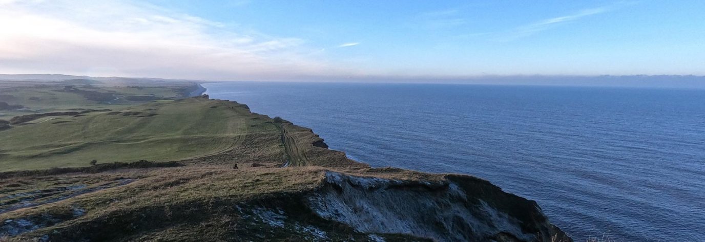
Walking the norfolk coast path
John is registered blind. Along with his sight guide Lauren, they are on a mission show the world that blind or disabled people can do great stuff outside too.
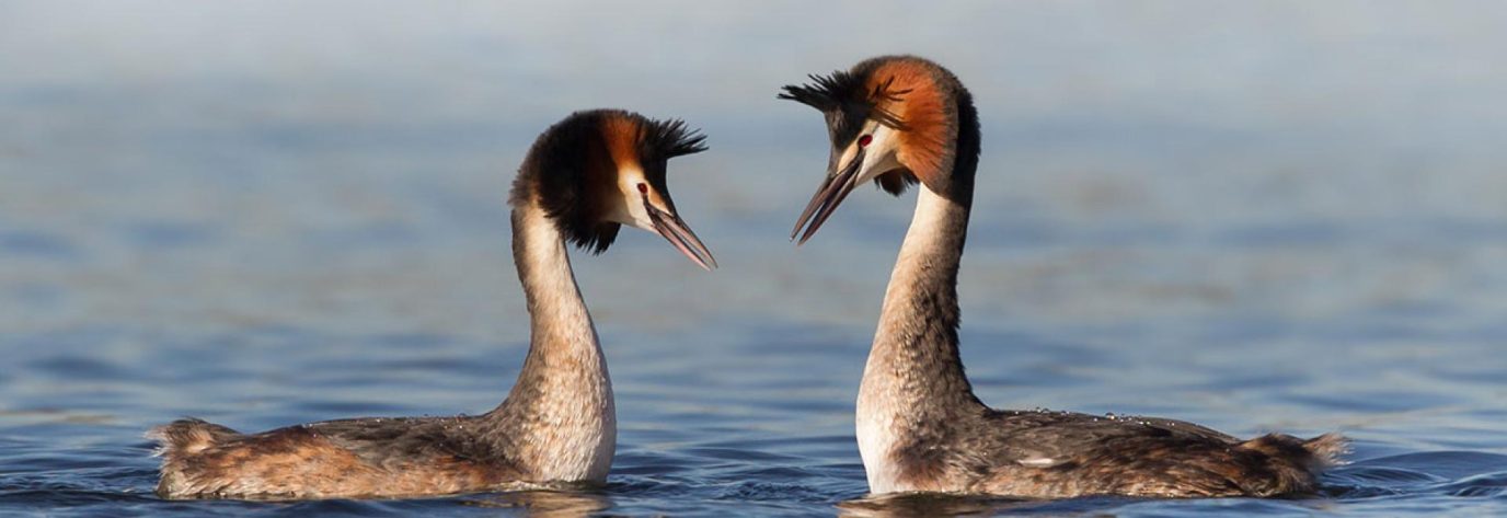
Best places to go birdwatching in the broads
Find out our top recommendations for fantastic places to go Birdwatching in the Broads National Park.
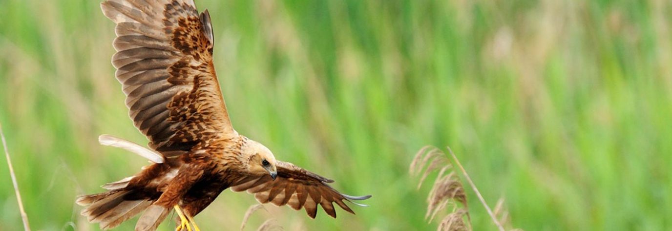
Birdwatching in the broads
The Broads is the perfect destination for bird watching due to its extensive marsh and wetlands. Find out abut which birds you can see in the Broads National Park.