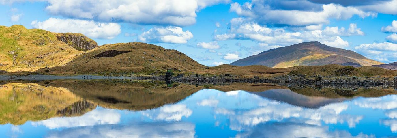
Best places to go gravel riding | Plan a route near you
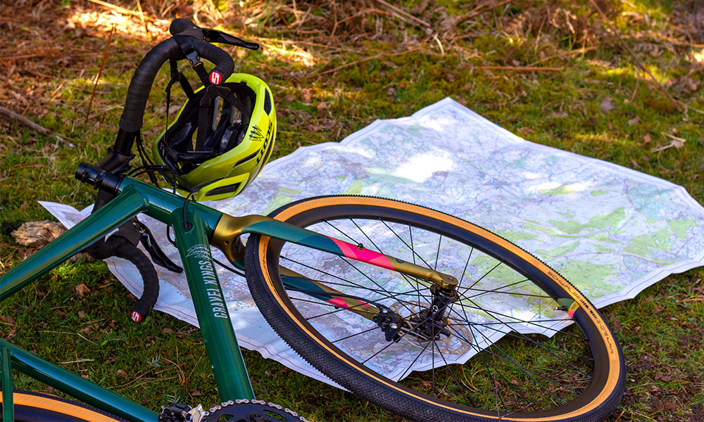
We’re lucky to have some amazing places to go gravel riding in Britain. This article takes a look at some of the best places to take a gravel bike and shows you how you can find and plan your own gravel riding routes. Includes popular routes recommended by the Gravel Kings.
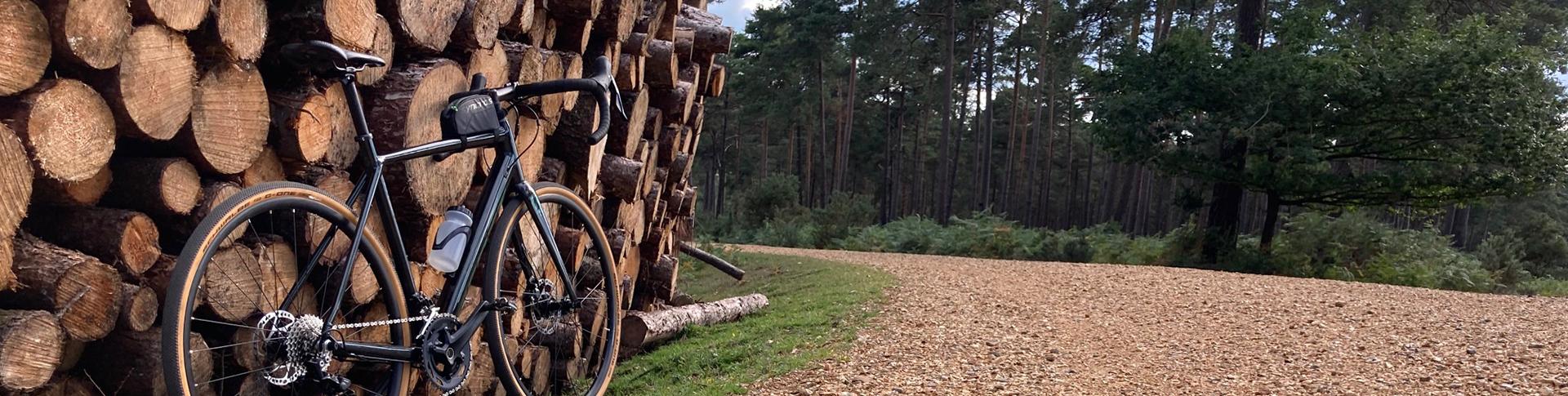
Gravel riding involves less technical off-road routes compared with mountain biking and on gravel paths where possible. Due to the easier terrain and thinner tyres, the distances covered on a gravel bike are usually longer than when on a mountain bike. Gravel riding is often seen to sit within the middle, between mountain biking and road cycling. You’ll get the benefits of cycling through beautiful off-road trails, but you’ll be able to go fast and further on a gravel bike.
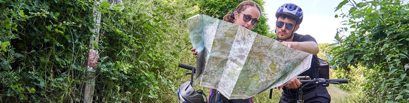
How to find routes suitable for gravel riding
Wherever you live in Britain, it’s likely you won’t need to go far to find suitable trails for gravel riding. Ideally, to find a good gravel riding spot you’ll be looking for large forest areas with plenty of gravel fire roads. Most of the white paths with black dotted sides that you see through forest areas on an OS Explorer map are suitable for gravel bikes but please check public rights of way before planning your route. If you’re unsure, look out for white paths with orange dots on them. These orange dots indicate a traffic-free cycle route.
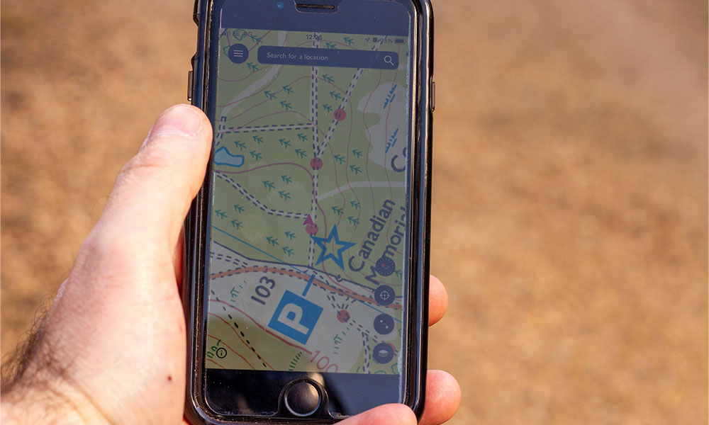
The capability of gravel bikes nowadays almost matches some mountain bikes, so incorporating bridleways into your route will add some variety and can be a touch more technical. Bridleways are shown as a green dashed line on an OS Explorer map. The green dashes are longer than those indicating footpaths, which cannot be used by cyclists.
Don’t be afraid to use a few country lanes, shown by a yellow line on an OS Explorer map. Many of these will have a road surface very much suited to gravel bikes and can help you link up a few areas and clock up the miles. When planning a gravel route using OS Maps, have a look at the contour lines as a very hilly 20-miles will feel like a flat 50-miles on the legs! The OS Maps app and web version will show you the elevation profile as you plot a route, so you’ll know exactly how hilly it is and at which point they appear on route.

When planning a new gravel biking route, it’s best to start from a car park, one relatively near a public toilet is always a good idea if you are driving to an area. If you can find a car park right on the trails then even better, as a figure of eight route can be a useful way to loop back to your vehicle for lunch, snacks, and anything else you may need but not want to carry, especially if amenities are hard to find in the local area.
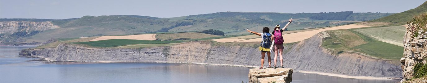
Best places for gravel riding in Britain
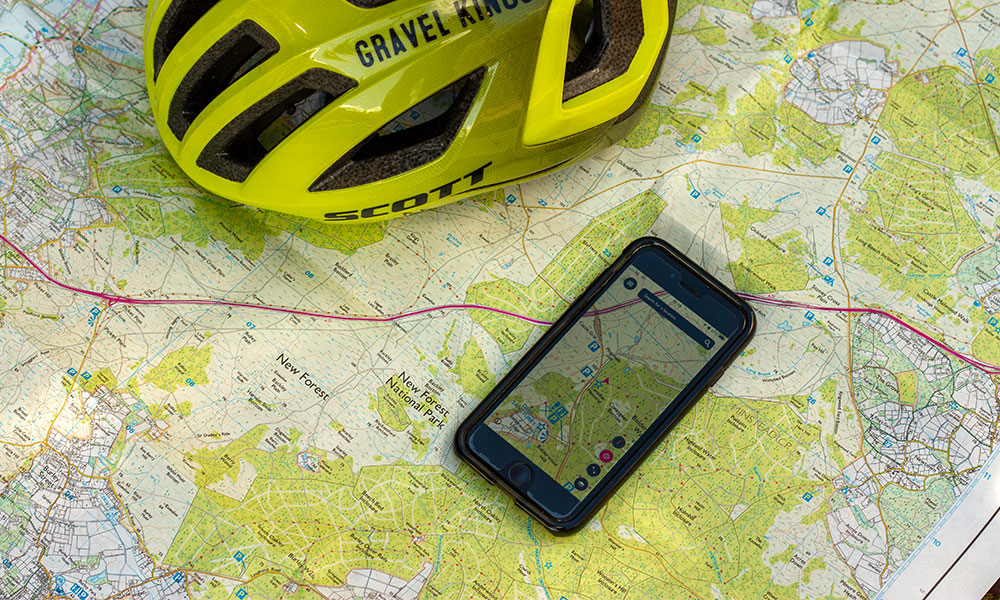
The New Forest, Hampshire
With over 100-miles of traffic-free gravel cycle trails available, the New Forest is one of the best areas in Britain for flowing, scenic riding. It is suitable for all levels so, if it’s your first time on gravel then this is the perfect place to start. The New Forest boasts smooth trails and plenty of small villages with some great cafes to stop in. Off-road traffic routes are well linked together.
For true local knowledge and friendly guiding plus quality rental bikes, speak to Gravel Kings.

Salisbury Plain, Wiltshire
A 300-square mile area of gravel goodness! It’s almost all very fast rolling especially in the summer and suited to all levels of riders. Most of the ground is chalk, so can become slippery when wet but dusty and fast when dry. Most trails are byways open to all traffic (BOAT) so there may be vehicles on the (often very wide) trails.
Large areas are given over to military training and you can find the firing times and more information here. West Lavington or Market Lavington are good start locations with easy access to the trails and local shops.

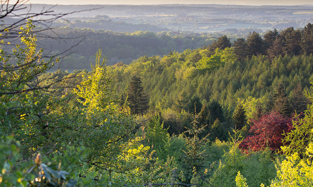
The North Downs, South East England
The North Downs is an Area of Outstanding Natural Beauty and does not disappoint. The North Downs Way has some fantastic sections to cycle but it’s worth noting that a few are footpaths that you are not permitted to ride. Head over to St Martha’s Hill and then on to Leith Hill tower for some spectacular views. There are some steep loose descents around the North Downs that become quite technical quite quickly, especially if the conditions are damp. There’s a really nice, varied mix of dense woodland, open wide trails and everything in between. The best parking in the area is at chantries car park which is about 100m from the North Downs/ Pilgrims Way and there are plenty of good places to eat nearby once you have finished.
King Alfred’s Way, Wessex
The King Alfred’s Way is a long-distance circular route around Wessex totalling 218-miles (350km) and predominantly off-road. The route starts and finishes in Winchester, although you can choose any location on the route to start/finish from. Many riders will take 2-5 days to ride this spectacular route, but you can easily pick shorter sections and ride them in a day. Most of the route is perfectly suitable to first time gravel riders, although the sections on the South Downs can be more technical and require more focus and experience especially when wet.
Cycling UK have a comprehensive guidebook with printed OS Map sections. More information is available here.

Cannock Chase, Staffordshire
Cannock Chase is well-known amongst mountain bikers for its excellent mountain bike trail centre. For gravel there’s plenty of gravel tracks and bridleways including the family trail but stay off the blue and red mountain bike trails if you’re on a gravel bike. The trail centre is an excellent starting point with a good café and plenty of parking. There’s quality bike rental available to from this site but no gravel bikes yet.
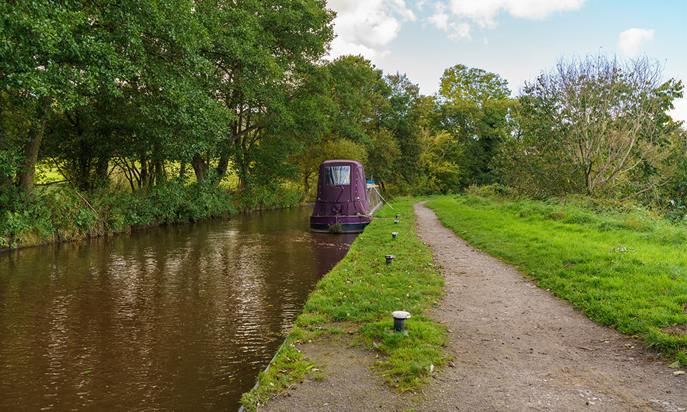
Talybont on Usk, Brecon Becons
Brecon Beacons National Park covers an area of 520 square miles on the border between Mid Wales and South Wales and there’s plenty of gravel tracks to explore. Talybont on Usk is a small but accessible village that’s a great start location for all lengths of gravel rides. There’s a canal network starting from the centre of the village and plenty of other villages to stop off at along the way.
The Taff Trail is a long distance trail (55-miles/90km) that you can join right out of Talybont on Usk. The route is a combination of riverside paths, railway paths and forest tracks. There’s a few sections that are tough going but the ride is generally pleasurable to ride on a gravel bike. Looking at OS Maps, you’ll see plenty of tracks to explore at the opposite side of the reservoirs to the Taff Trail which are stunning and hilly in equal measure. It’s well worth looking at the contours on the map and checking the overall elevation as you plot the route.
If you need to hire a bike, Bikes and Hikes is a great rental and repair shop. The local village hall has a bike wash, toilets and showers and car parking is donation based.
Gravel riding is a great way to spend time in nature and explore a large area with limited effort. You don’t need to be a pro to tackle travel trails. Even if you don’t have a gravel bike, there are plenty of places to hire them across Britain. We gaurentee that after a few rides, you’ll be hooked!