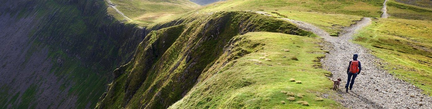
OS #GetOutside Champion and cycling guidebook author, Jack Thurston, takes us on a journey along his ten favourite lost lanes in the West Country.
Some people collect stamps, others collect cigars and fine wines. I collect lanes. It’s an interest that has grown into an obsession and now three books.
It all starts when I unfold an Ordnance Survey Landranger map, and begin tracing my fingers over its contours, identifying likely candidates. A road is for travelling between places but a lane is a place in itself. In my mind I’m visualising hedgerows thick with blossom in the spring and berries in the autumn. Wildflowers sparkle in the verges and there may be a thick stripe of grass up the middle. In my minds ear I hear the cheerful chatter of sparrows and blue tits and the trilling song of a blackbird.
None of this is shown on the map, of course, yet the thin yellow lines of the OS Landranger series are the best clue to discovering lost lanes. The map legend identifies them as “road generally less than 4m wide”, but to me they are so much more.
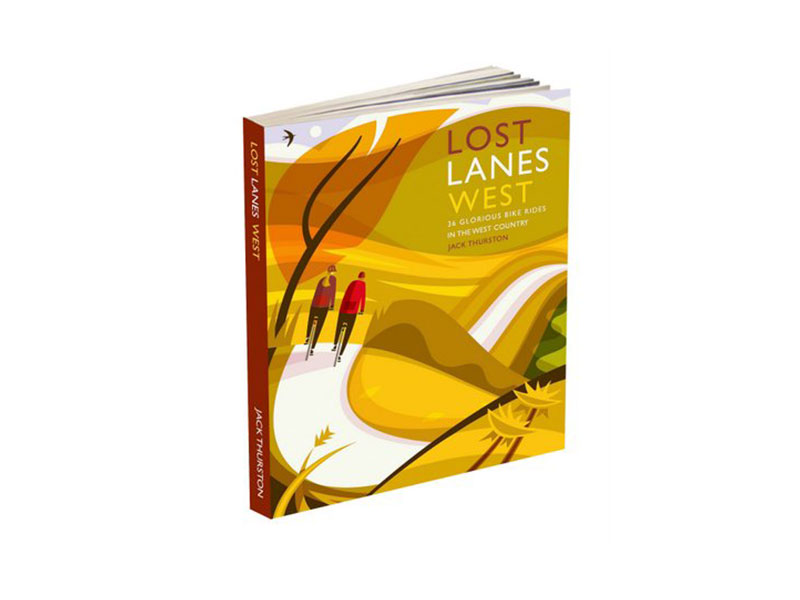
Lost Lanes West, the third in my Lost Lanes series of cycling guidebooks was published earlier this year. It covers the West Country counties of Wiltshire, Dorset, Somerset, Devon and Cornwall.
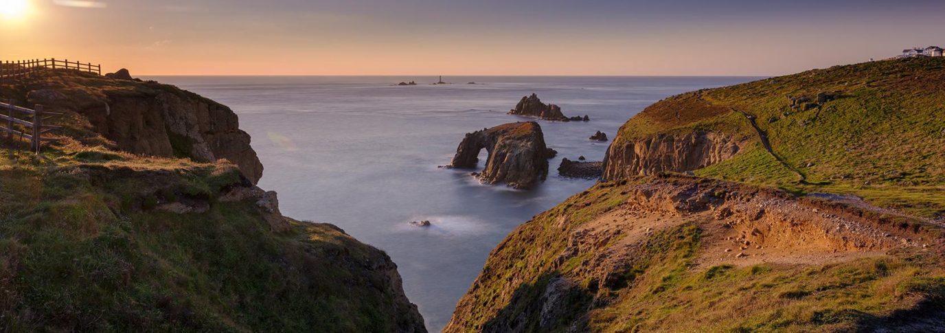
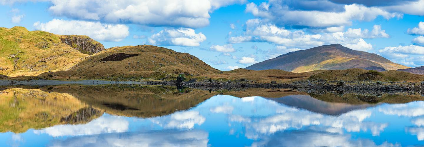
It’s a region of coasts and contrasts: there’s no part of Britain where so much variety of landscape is packed into a peninsular reaching out into the Atlantic Ocean.
In two years researching the book I rode thousands of miles and discovered dozens of sublime lost lanes.
Here are my top 10.
1. Old Salisbury-Devizes Road, Wiltshire
Distance: 10.3km
Total ascent: 143 metres
Route map: Old Salisbury-Devizes Road
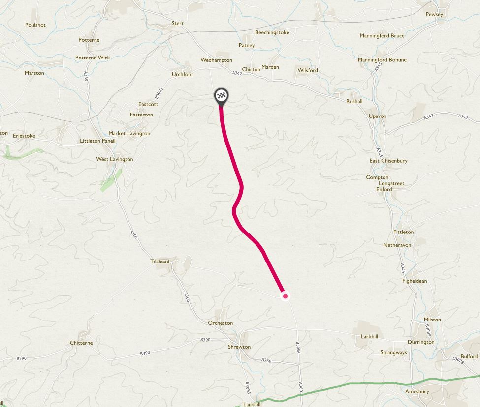
This was once a coaching road across the wild wastes of Salisbury Plain. When the army took over most of the plain as a training area, it was removed from the highway network. It’s now a gravel surfaced route for cyclists and walkers but you need to check ahead with the Ministry of Defence for opening times.
As the lane passes through the impact zone you’ll see burned out tanks, and other military paraphenalia. Look out too for the Great Bustard, Britain’s biggest native bird, which is prospering on the plain. It’s all a far cry from the tourist crowds at nearby Stonehenge.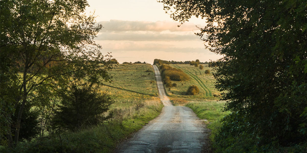
2. Grovely Woods and the Harrow Way, Wiltshire
Distance: 11.4km
Total ascent: 109 metres
Route map: Grovely Woods and the Harrow Way
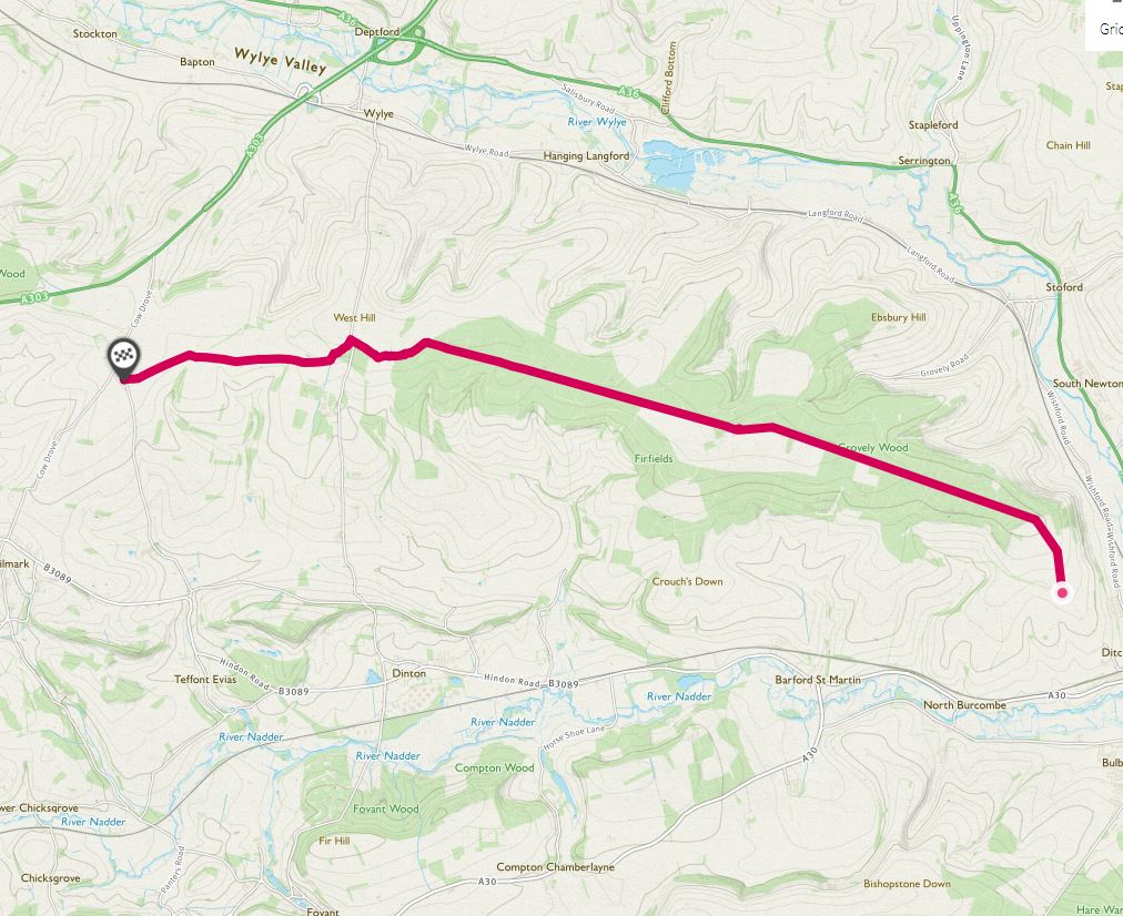
This is a very ancient route through the beech woods of a long chalk ridge to the west of Salisbury. The Romans built a road here but they were following a route that was already thousands of years old and known to us as the Harrow Way.
Some sections are unsurfaced and can get muddy after heavy rain so tyres with a bit of grip will be useful, though in the summer it’s bone dry. At the western end the lane emerges from the woods into a landscape of vast rolling fields of crops, and you can either go north to the Wylye Valley or south to the Vale of Wardour.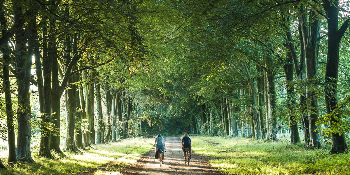
3. Imber Range Perimeter Path (Gore Cross to Upton Scudamore), Wiltshire
Distance: 25.1km
Total ascent: 246 metres
Route map: Imber Range Perimeter Path
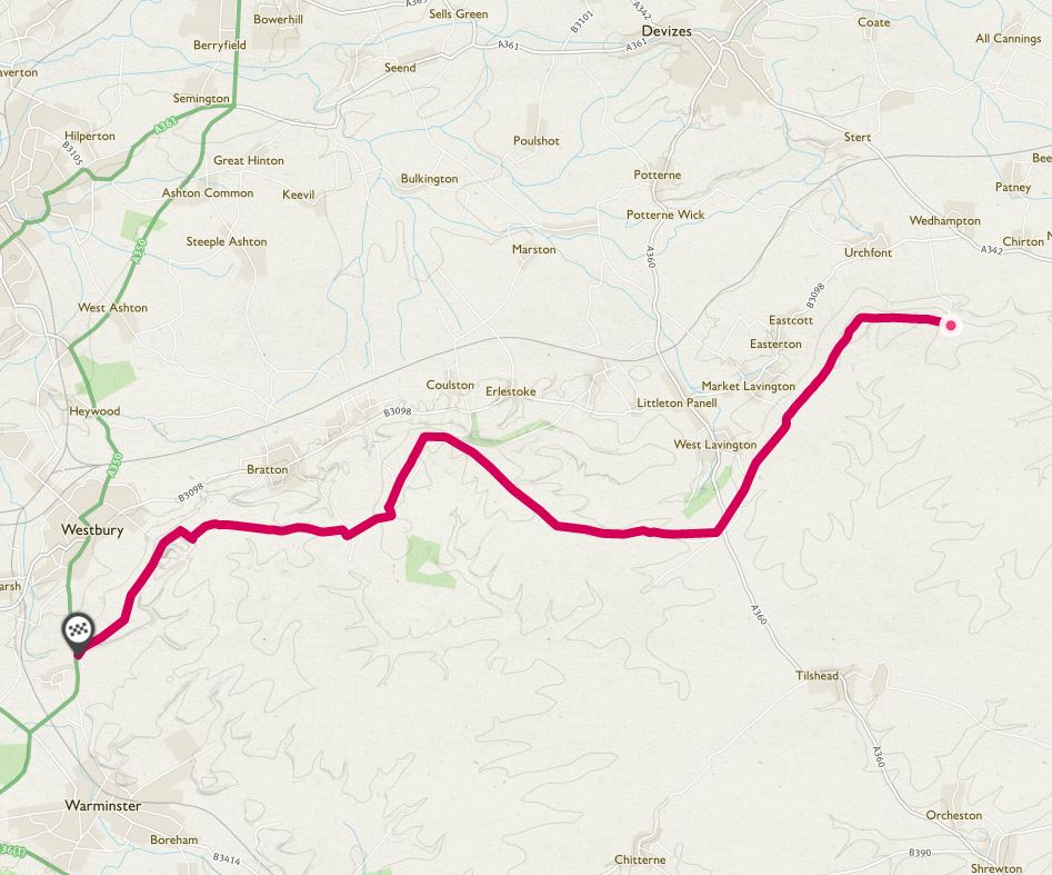
The Strade Bianche of Tuscany are famed among bike racing fans and this is a version of those fabled roads this corner of Wiltshire, that almost nobody seems to know about.
From the steep scarp slope of Salisbury Plain there are big views across the Vale of Pewsey and this 25km section of lanes and good gravel tracks you will barely meet another soul. In summer the verges are bursting forth with wild flowers that prosper in the chalky soil and in winter it’s as wild and windswept a place as you’ll find in southern England.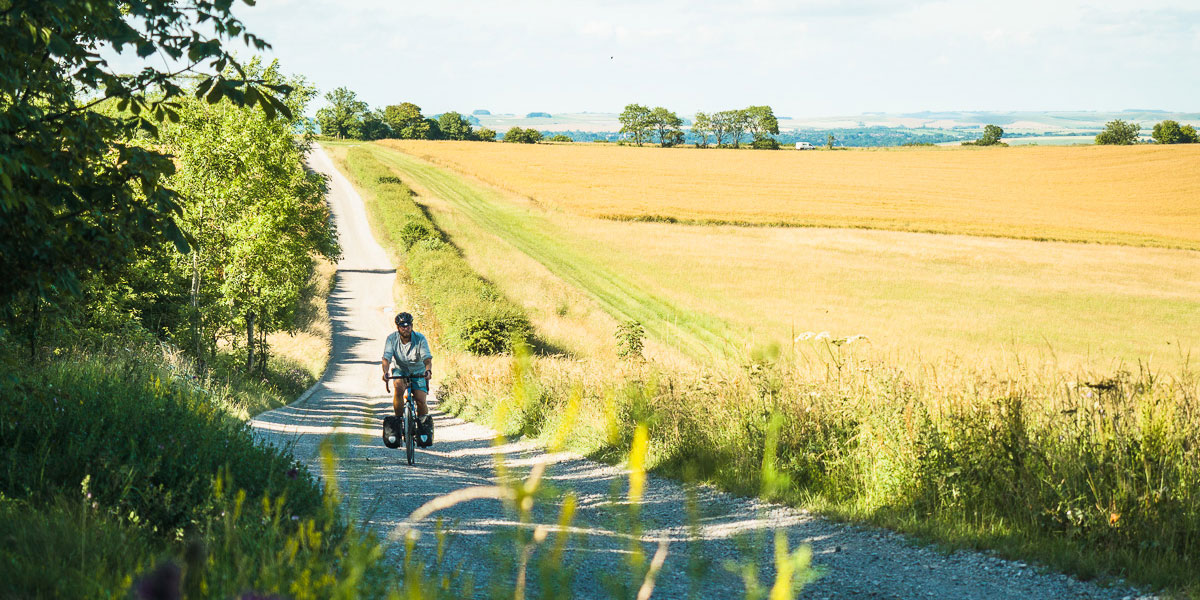
4. Caswell Lane / Clevedon Lane, near Bristol
Distance: 9.5km
Total ascent: 210 metres
Route map: Caswell Lane / Clevedon Lane
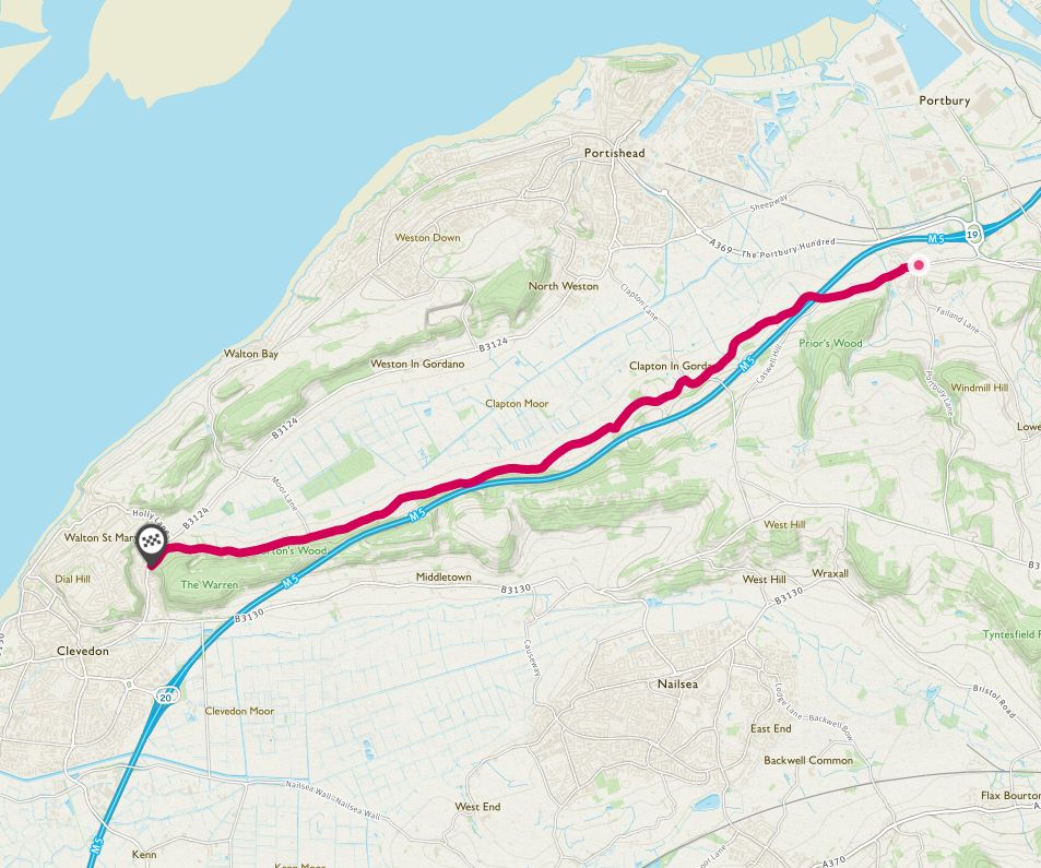
This is a fantastic escape route from Bristol towards the elegant seaside resort of Clevedon and it’s magnificent Victorian pier.
As a rural lane it’s charming enough, passing by pretty villages, some interesting old houses, farms and churches with good views over the marshy moors of Gordano valley.
But what makes it unique is that the elevated M5 motorway flies right overhead, reappearing. The bank holiday traffic jams on this part of the M5 are legendary, and when riding this lane I think of the people trapped in their cars going nowhere and how happy I am to be on my bike.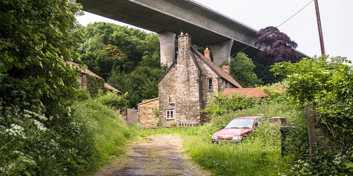
5. Sherborne to Cadbury Castle, Somerset
Distance: 14.7km
Total ascent: 344 metres
Route map: Sherborne to Cadbury Castle
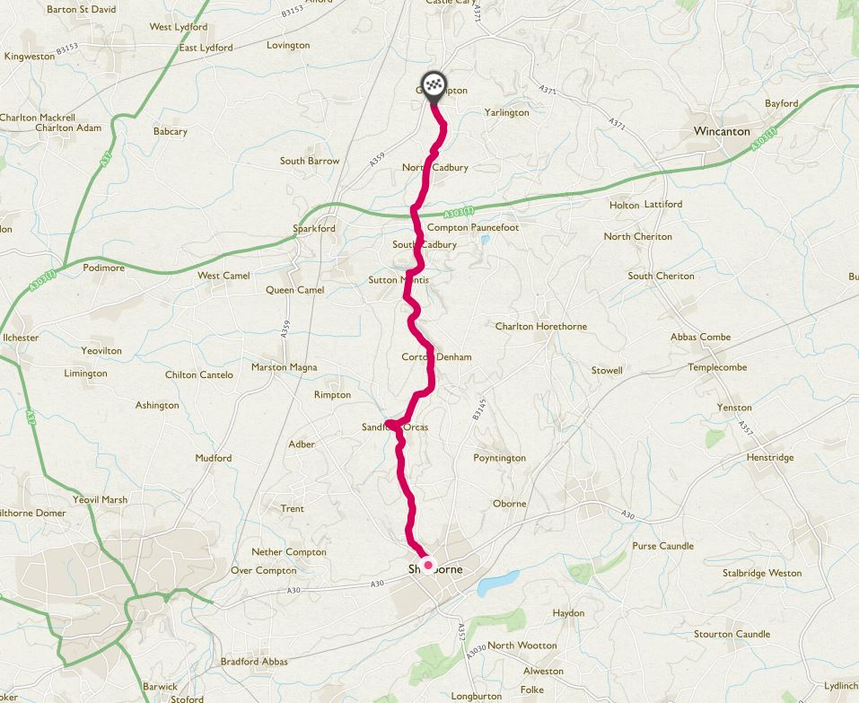
Heading north out of the stunning, honey-stoned town of Sherborne, this little used lane picks a way through the gently rolling limestone country.
A succession of rounded hills leads to the foot of Cadbury Castle, said by some to be the real world of King Arthur’s Camelot and home to his Knights of the Round Table. Leave bikes at the bottom and walk to the top where there are big views in every direction.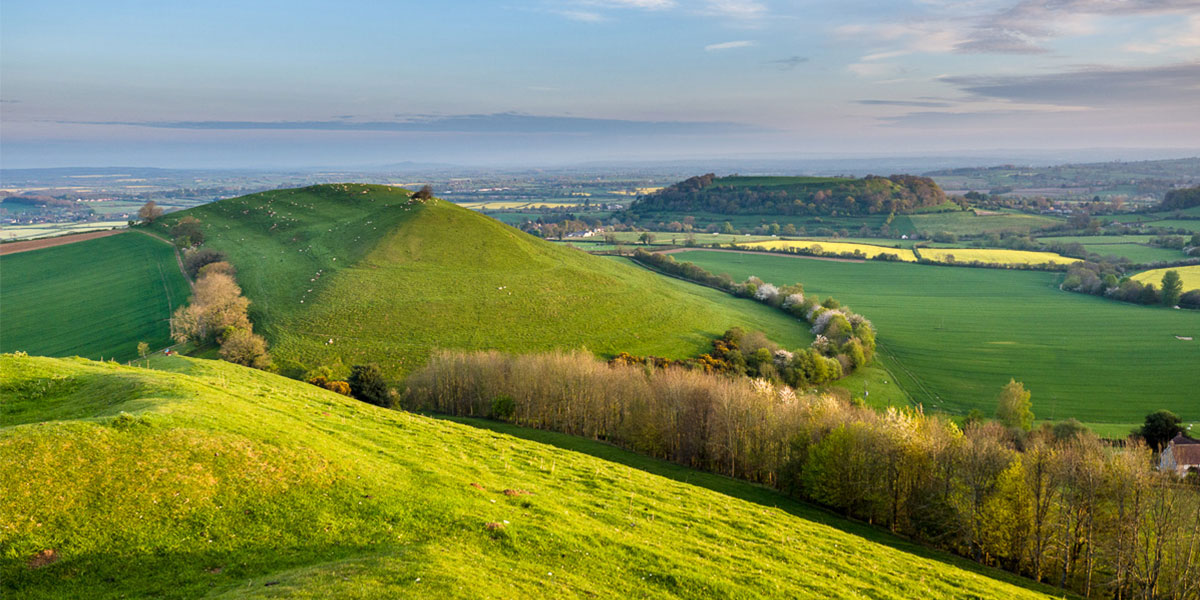
6. Bride Valley, Dorset
Distance: 15.8km
Total ascent: 204 metres
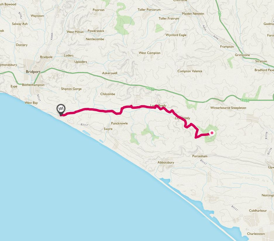
Hidden away among the hills of West Dorset, the Bride Valley is a place where time has stood still, a rare slice of unspoiled rural England.
It’s a joy to ride from the heights of Hardy’s Monument, with its views out over Portland Bill, to the long sandy beach and honey-stone cliffs of Burton Bradstock. Stop in at the cider mill at Bredy Farm, or stay at their tiny rustic campsite set among the apple orchards.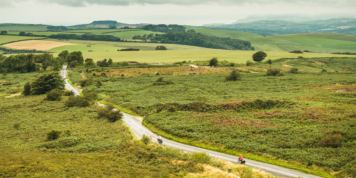
7. Mole’s Chamber to Anstey Barrow, Devon
Distance: 21.9km
Total ascent: 249 metres
Route map: Mole’s Chamber to Anstey Barrow
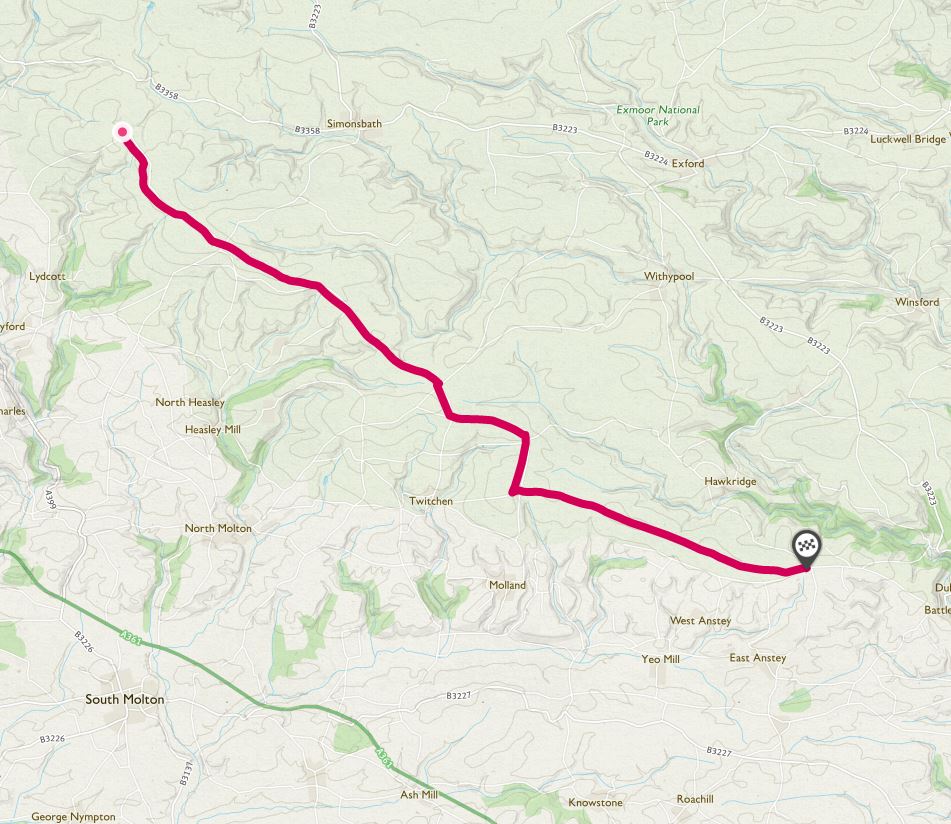
It’s quite a climb to the heights of Exmoor but this 22km ridge road makes all the hard effort worthwhile. It runs along the southern edge of Exmoor and commands huge views across the rolling patchwork fields of mid-Devon.
There are Bronze age barrows and long beech-lined avenues and the Sportsman Inn pub at the eastern end serves a good pint of local Exmore ale.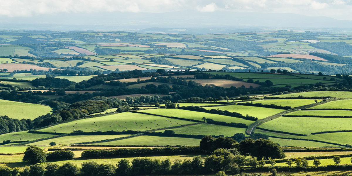
8. Challacombe Down, Dartmoor
Distance: 8.7km
Total ascent: 270 metres
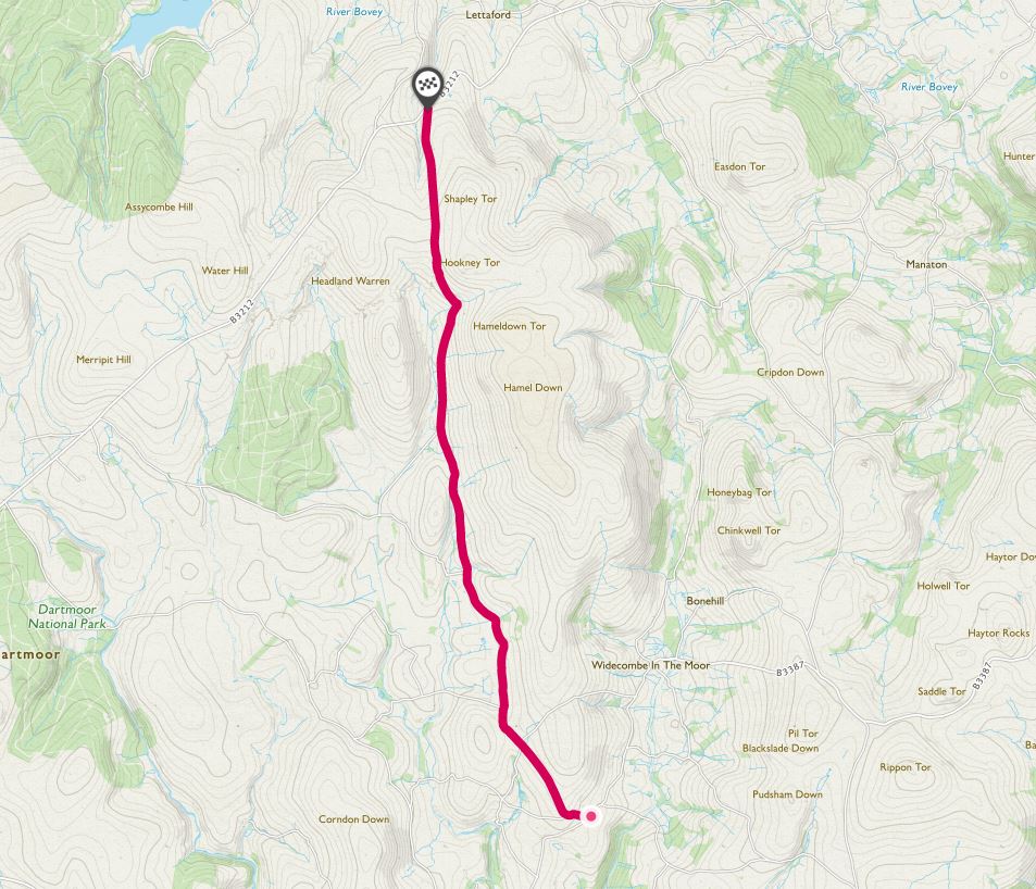
There aren’t a lot of lanes across Dartmoor, buy this one is one of the loneliest, and best.
From the tourist honeypot of Widecombe-in-the-Moor the road heads uphill and it’s a long steady climb to the Bronze Age settlement of Grimspound. You can sit in the stone roundhouses and wonder at the passage of time as skylarks sing overhead. This is wild and mysterious Dartmoor at its best.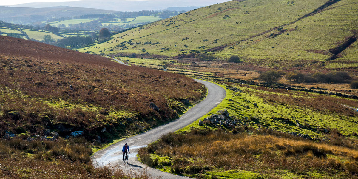
9. Luxulyan Valley, Cornwall
Distance: 10.3km
Total ascent: 242 metres
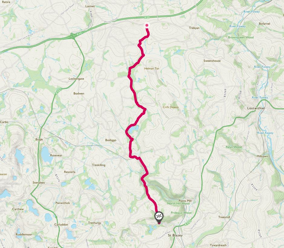
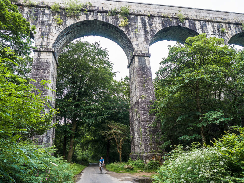
Reputedly a coast-to-coast route taken by early Celtic Christian saints, this lane runs from just west of Lanhydrock House near Bodmin towards the Eden Project just outside St Austell.
Ancient route or not, it’s now a perfect lost lane, with a variety of ecologies – from damp boggy marsh to sandy heath – providing a constantly changing display of flora in the verges.
The dramatic highlight of the lane are the towering columns of the Treffry Viaduct that stride across the densely wooded valley. Built from monumental blocks of locally-quarried granite, it appears quite of nowhere, like a Mayan temple in the jungle.
10. Widemouth Bay to Tresparrett Down, Cornwall
Distance: 14.2km
Total ascent: 669 metres
Route map: Widemouth Bay to Tresparrett Down
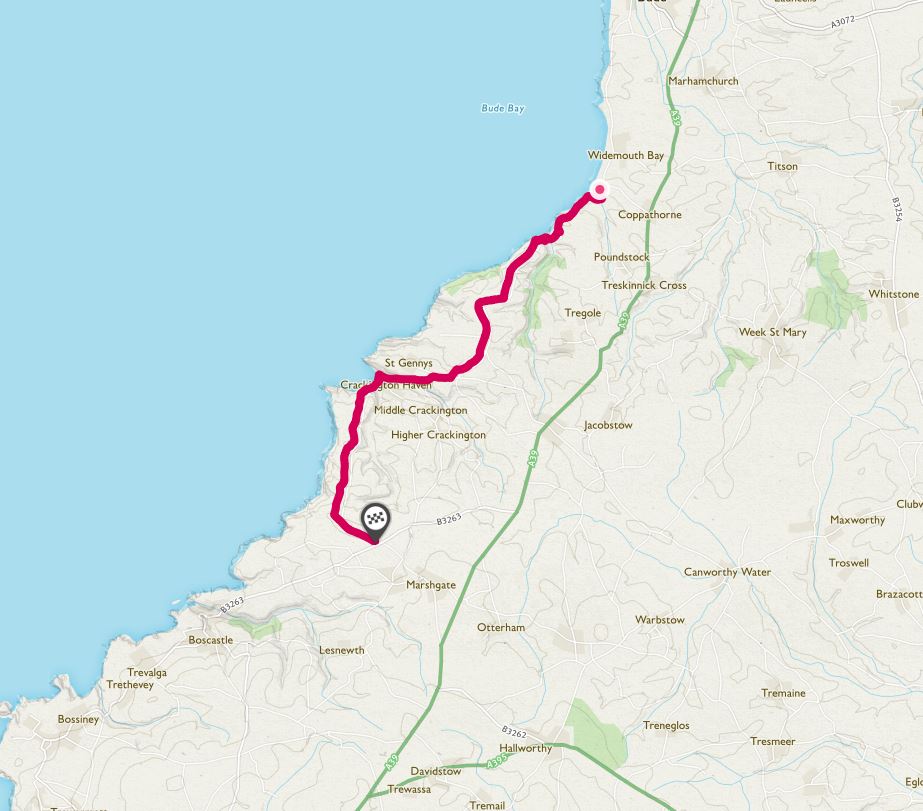
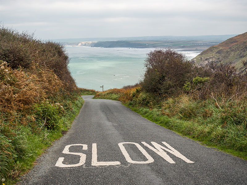
There are some tremendous coast roads in the West Country, but too often there is too much motor traffic to make them enjoyable for cycling.
This section of coast road on the north coast of Cornwall is an exception to the general, probably because the terrain is so challenging.
Taking in Cornwall’s highest cliff at 223 metres and the little beach inlets at Millook and Crackington Haven and this is 14km rollercoaster of a coastal lane is not for the faint of heart, or legs, with gradients up to 30%.
Lost Lanes West by Jack Thurston is published by Wild Things Publishing.
It’s the third in his Lost Lanes series of cycling guidebooks was published earlier this year. It covers cycling routes across the West Country counties of Wiltshire, Dorset, Somerset, Devon and Cornwall.
Each of these lanes, and many more besides, features in the day rides and multi-day tours described in my book.
Enjoy!
BUY NOW