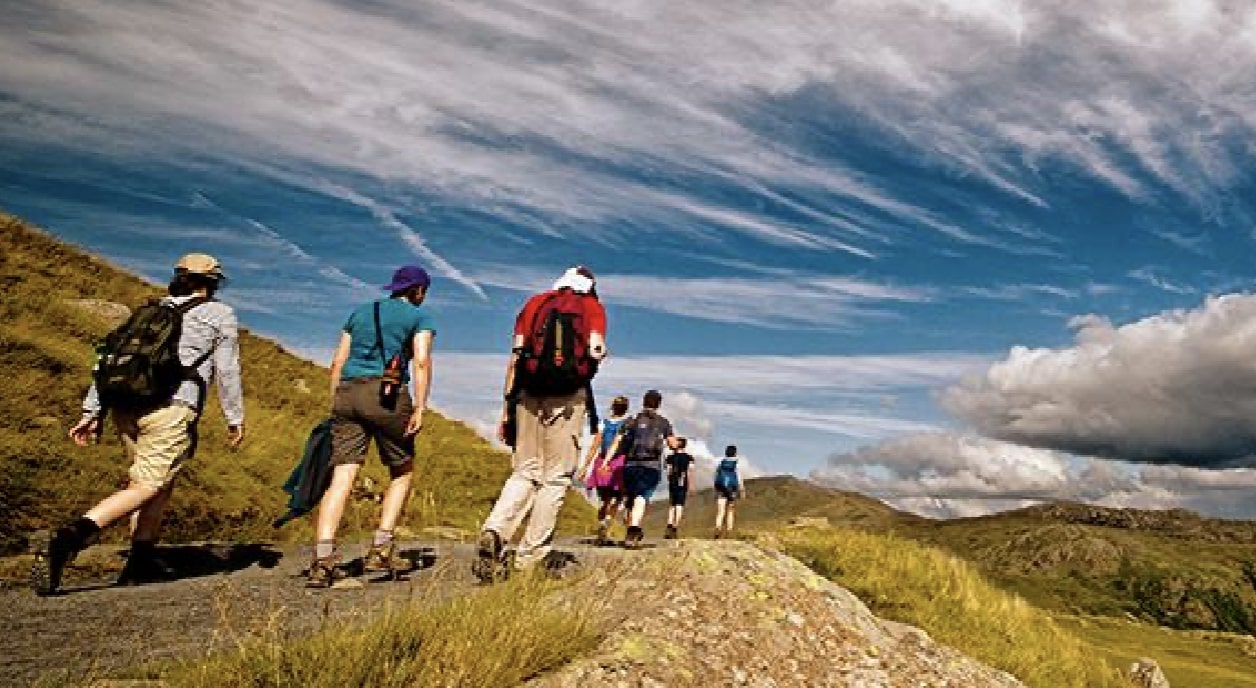
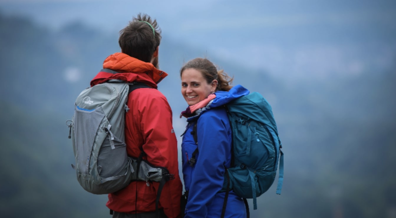
Outdoor advice to help you get outside
Hot right now
Discover what’s currently popular in outdoor adventures

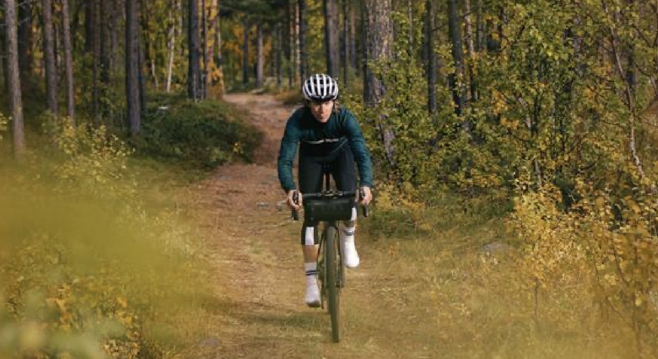
Popular categories
Your starting point for exploring different outdoor activities
Guides
The latest articles and advice from the world of outdoor living
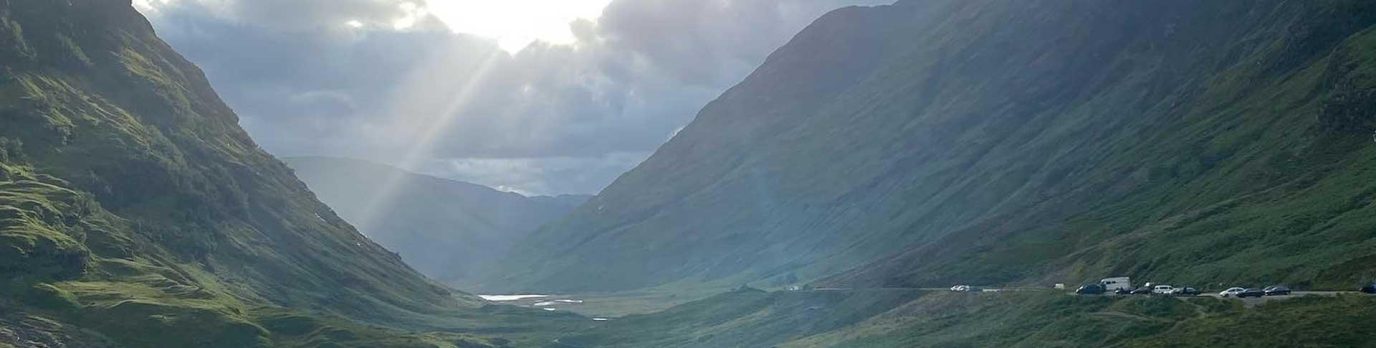
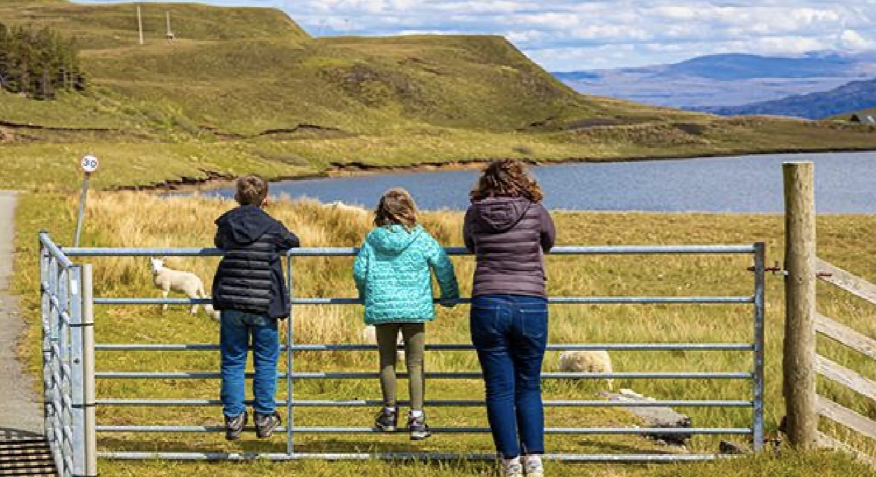
Adventures
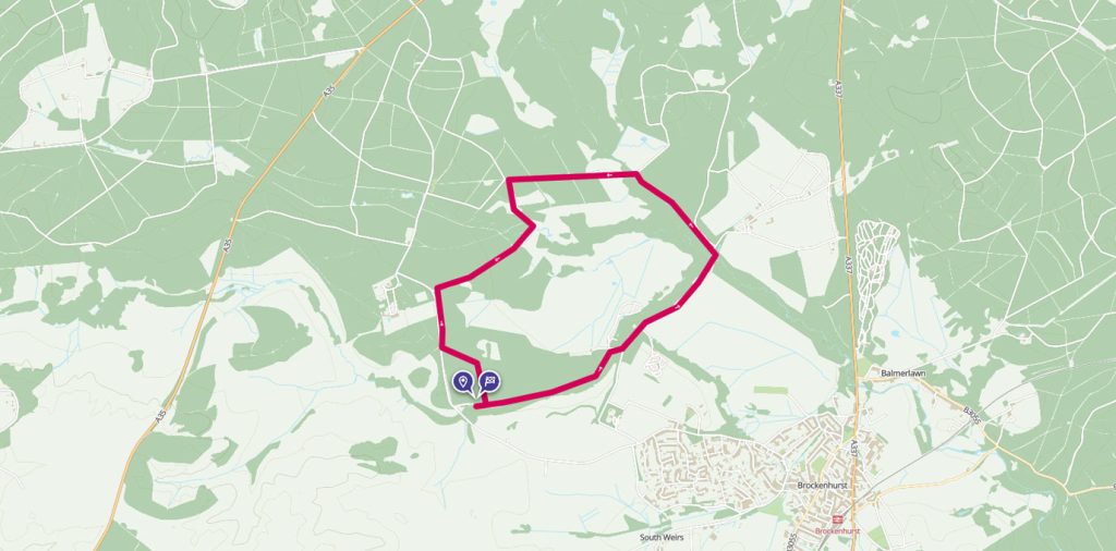
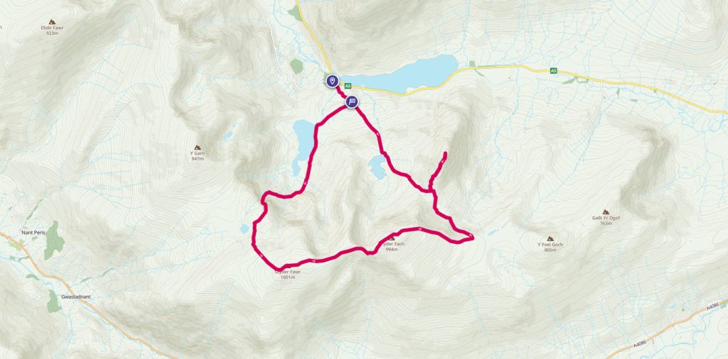
Select a location wherever you are going in the UK to find a new route to discover:
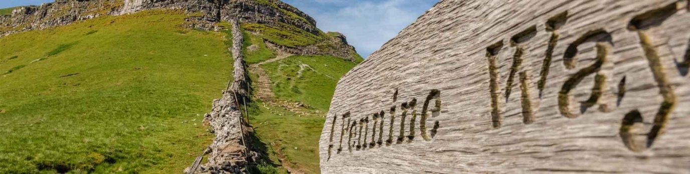
Community
Insights and stories from our seasoned outdoor champions


EXPLORE WITH
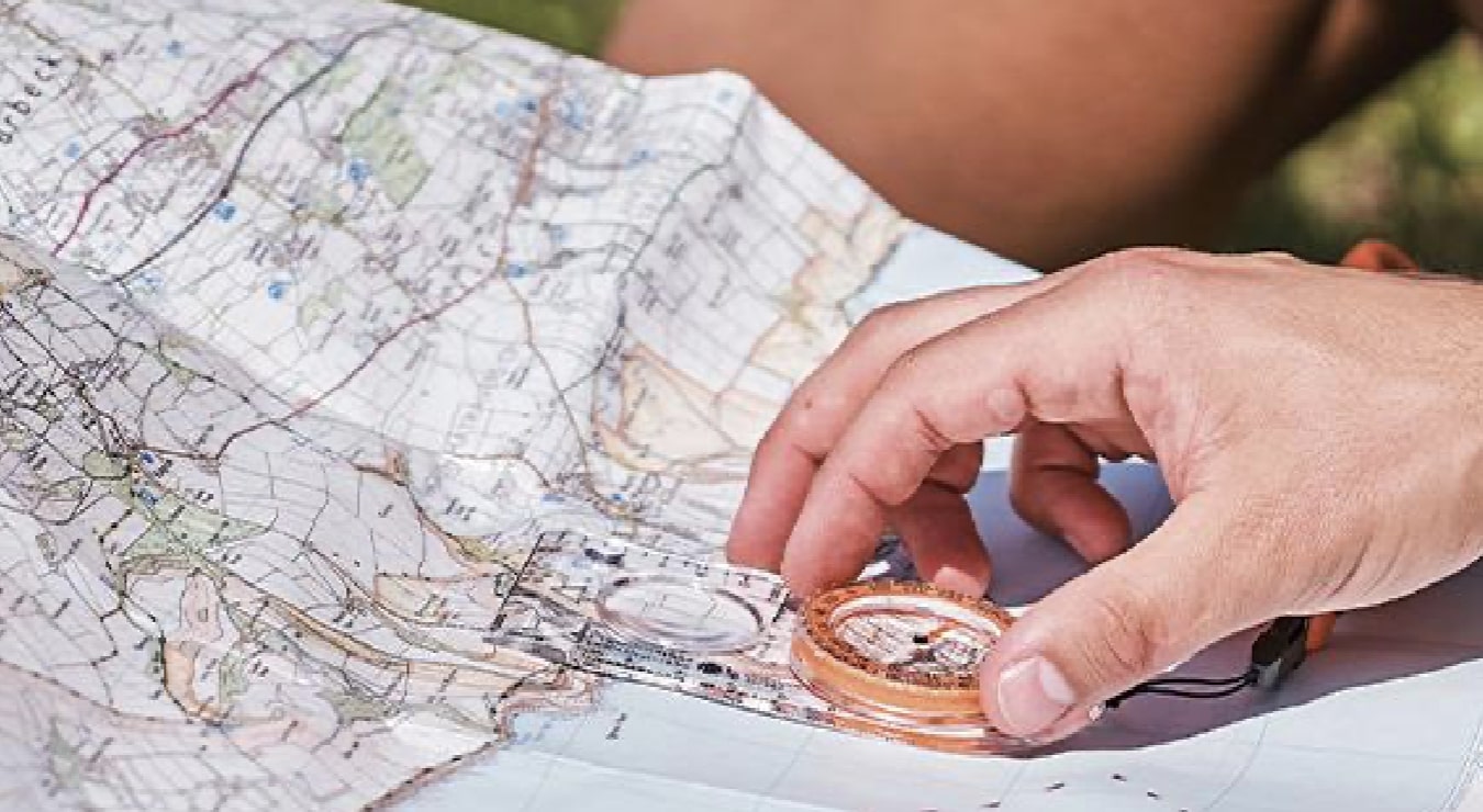
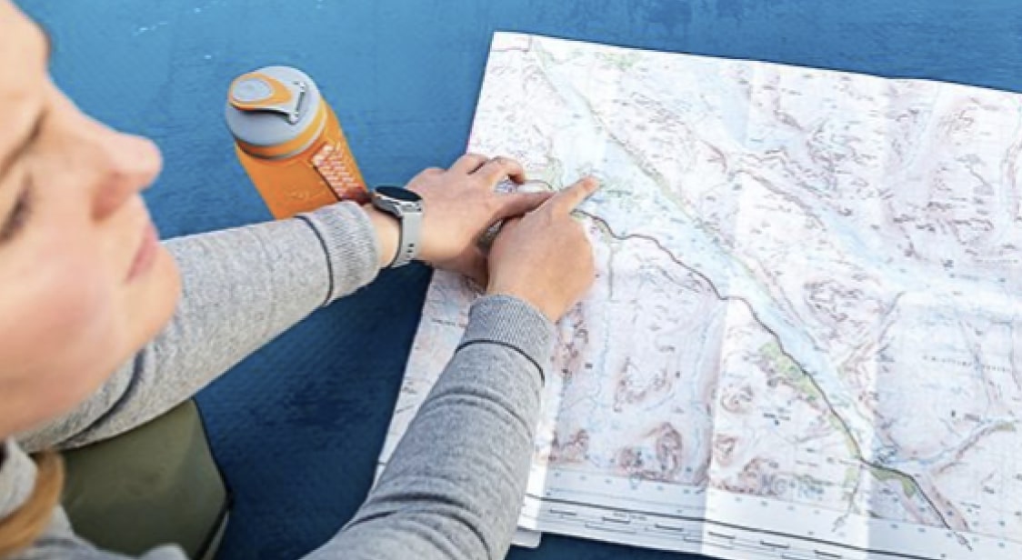
Digital Maps
Use OS Maps to see more detail including footpaths, bridleways, cycle tracks and rights of way.
Use world-renowned Ordnance Survey mapping with unlimited use of every OS Explorer and OS Landranger map for the whole of Great Britain. That’s instant access to 607 maps to view, print, or download to your phone – all included in your subscription.
Launch OS Maps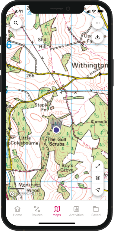
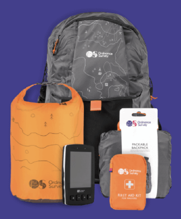
EXPLORE THE
OS Shop
Use OS Maps to see more detail including footpaths, bridleways, cycle tracks and rights of way.
Go to the shop