The North Highland Way will be a walking, horse riding and cycling route across the north of Scotland, connecting John O’Groats in the east to Durness in the west, a route of unimaginable beauty, wildlife, big skies and even bigger landscapes.
Far to the north of Scotland lies Caithness, the lowlands behind the Highlands. Aberdeen is often considered the most north-easterly point of the UK, but it is in fact a five hour drive from Dunnet Head, the true northern-most point of the UK mainland, and home to the project management of the North Highland Way for many years.
Dunnet Head is Caithness in miniature – geographically a peninsula, historically important as a radar station in WWII, geologically interesting with the fault at Brough and the erratics on the Head, with the most magnificent birdlife and wildlife. Fulmar glide around and inspect you as you walk, puffins scoot across the water from May to July and make their burrows in the high cliffs, gannets dive into the sea and skua nest on the ground… so be careful in nesting season.
Don’t miss
A resident seal colony that lives in Brough Bay at the foot of Dunnet Head.
Dolphins, minke whales and orca are often seen off the north coast and even a walrus was spotted there recently, so it’s no surprise that the RSPB set up shop there in 2008! Along with the RSPB, the area is well documented by Caithness Seawatch who do a great job monitoring the cetaceans and their habits.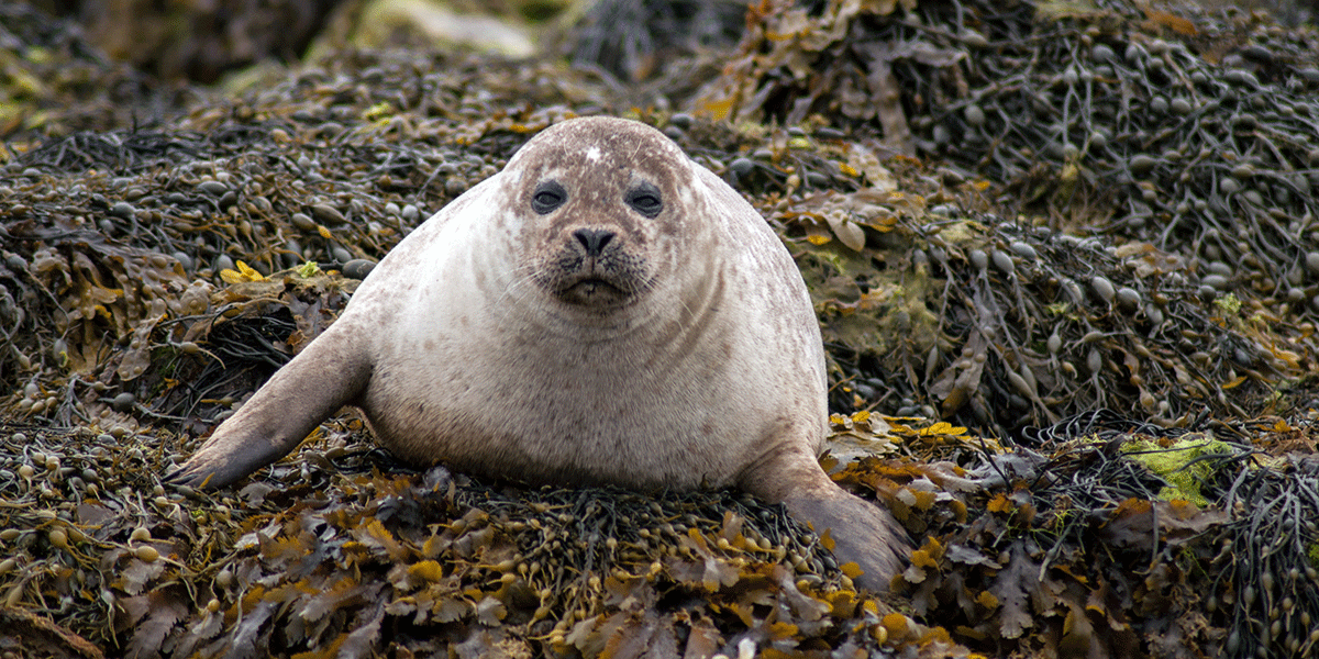
The North Highland Way is a 150-mile hiking route from John O’Groats to Durness, traversing some of the most spectacular scenery in the world. There are big plans to make it the only multi use route in Scotland with cyclists and horse riders using the route as well. They can already, in parts, but some of the route is difficult even for walkers, and at Loch Eriboll there is a lot of road work.
“…a vision of something akin to the South West Coast Path…”
The tempestuous Pentland Firth borders part of the Way, the rest by the wild Atlantic ocean. The walking is superb – not too hilly, although can be difficult underfoot in places with the peat bog. Wise walkers should carry a stick to prod the ground ahead if they cannot see where they are putting their feet. Horse riders definitely should not ride on peat bog – it may look inviting, but the horse can sink easily.
There are steep geos which may be hidden in the long grass and catch out the unwary, some of them go a long way inland so you should never walk too close to the cliff edges. Keep your eyes peeled for sheep tracks that you may be able to follow if there is no determined route. Sheep rarely fall over the edge.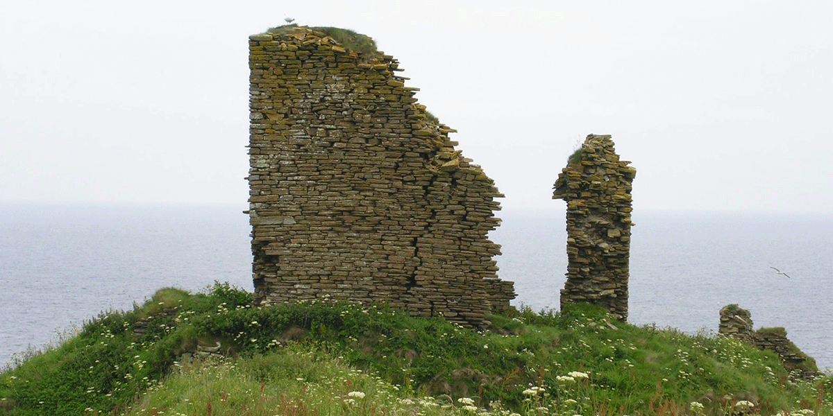
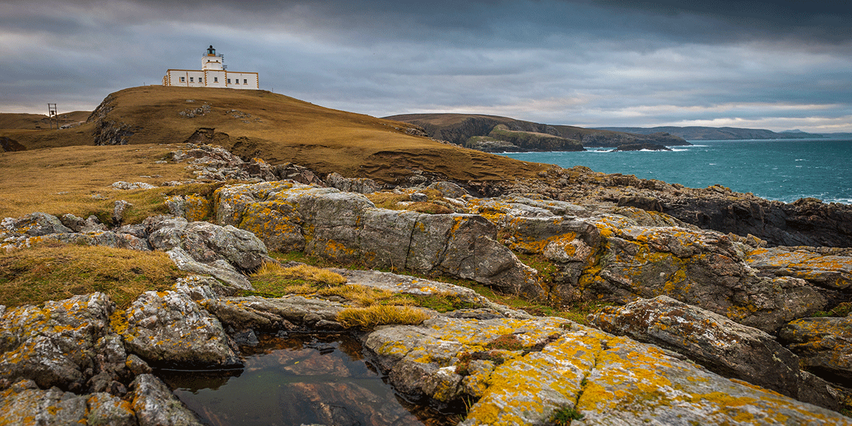
The 300 foot high cliffs of Dunnet Head give way to a gentler, slightly less rugged coast line with stunning views to Hoy on the Orkney Islands.
There are wonderful nooks and crannies, such as at the border between Caithness and Sutherland – people often park by the roadside and walk down the track for a look. Just amazing.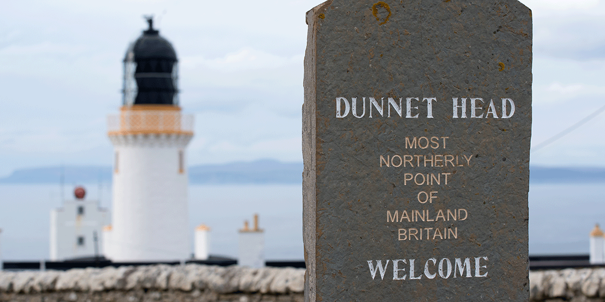
Sutherland is often confused with Sunderland – Sutherland does not get much press interest which is very sad as it is a friendly, hospitable county, with small villages dotted all along the coast. The wild remoteness of Sutherland is a far cry from the more accessible Sunderland. The tourism business also often overlooks Sutherland, although the NC500 has recently put it on the map.
And the beauty of the coast never diminishes as you go further west… There are surprises round every corner!
The tranquillity of Loch Eriboll with its unique ecosystem, the calm waters of the lake antithesis to the turbulence of the Pentland Firth. The shear remoteness of this area means that the phone signal might die, so reliance on mobile phones for GPS tracking or communications here, are not a good idea.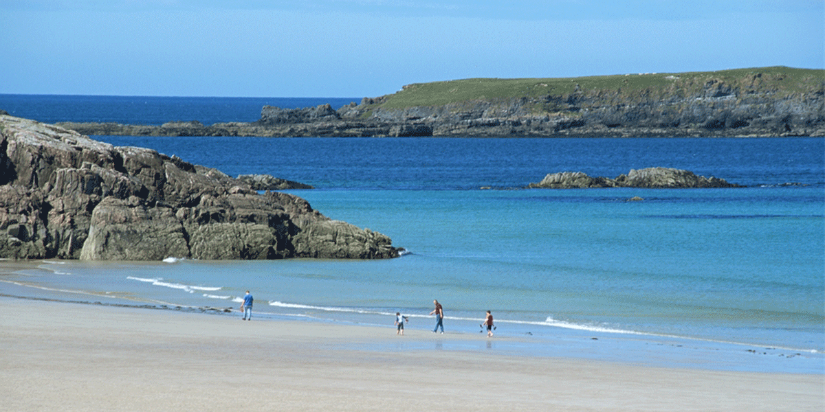
Transport access to the North Highland Way can be via Durness or Thurso, or even by sea from islands to the north, with ferry services running regularly, even in the winter months. The drive from Inverness to Thurso takes about two and a half hours, the train and bus even longer – It’s only 120 miles, but the A9 wriggles up to the north hugging the east coast passing through beautiful quaint villages such as Brora and Golspie, which are worth a stop and look.
The North Highland Way already links with the John O’Groats trail at Duncansby Head and it is planned to link it with the Cape Wrath trail at the western end.
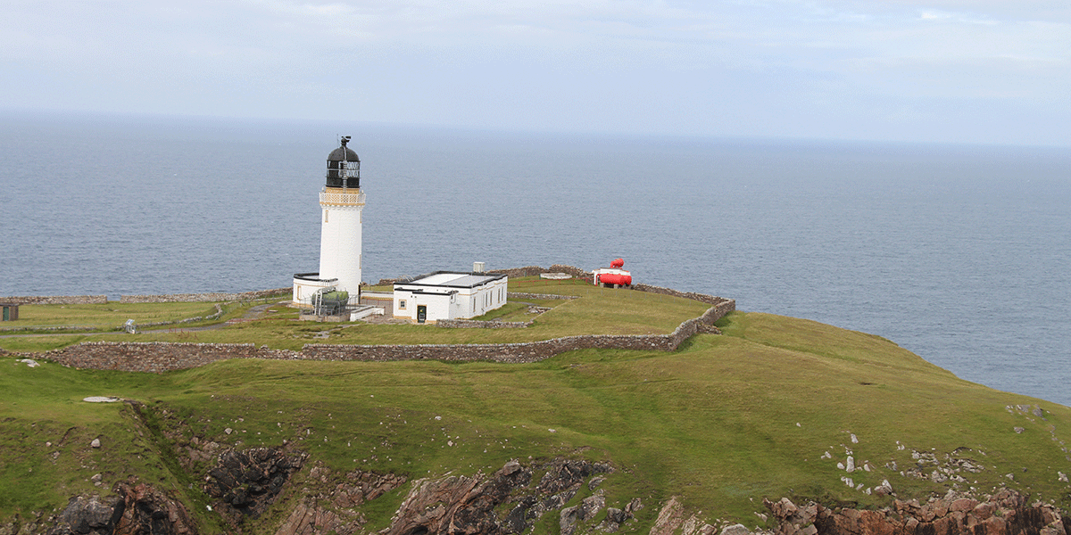
What a marvellous achievement it will be when it is all done…
By Tina Irving
Tina Irving is an inveterate explorer and writer, and has travelled for most of her life
In 2000 she moved to Scotland and since then she has been working on projects such as the North Highland Way.
