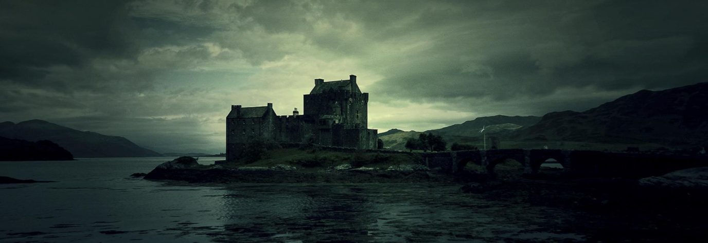
1. The Quiraing
Location: Isle of Skye, Scotland
Distance: 4 miles / Time: 2-3 hours
The Isle of Skye’s beauty is no secret. If you have time to squeeze in one walk, we recommend The Quiraing, in the Trotternish Peninsula. The location might make you think you’ll be sharing the trails with hordes of hill walkers, but that’s not the case.
This walk has stunning landscape and your efforts will be rewarded. You’ll see a sharp pinnacle (The Needle), a flat and mossy top, The Table, a large rocky pyramid-shaped peak, The Prison, and Staffin Bay behind you. Choose a dry and clear day if you can!

The Quiraing, Isle of Skye, Scotland
2. Roseberry Topping
Location: North Yorkshire Moors National Park
Distance: 1.4 miles / Time: 1 hour

Hill walk to Roseberry Topping
Walking route in OS Maps for: The Cook Monument and Roseberry Topping
The nicest mountains are not necessarily the biggest. That certainly holds true for Roseberry Topping. Legend has it the famous captain James Cook would hike it every chance he got as a child and was inspired by those walks.
Legend aside, Roseberry topping is impressive due to its conical shape. The views are excellent on the way up and from the summit, of course. The walk can be completed in 1 hour, with time to stop for photos.
3. Stac Pollaidh
Location: Ullapool, Scottish Highlands
Distance: 3 miles / Time: 2 hours
If you find yourself in Northern Scotland, a visit up Stac Pollaidh has to be on your list. It barely takes 2 hours to complete this walk and the views of the surrounding hills and Loch Lurgainn will be a highlight of your stay.
The path is well defined and easy to follow. It is rocky however, especially towards the end, so dry weather is preferable (although not always available!). The true summit is hard to reach for beginners, but it’s beautiful to look at, so soak in the views and enjoy this pristine nature.
4. Yr Eifl from Llithfaen
Location: Llithfaen, North Wales
Distance: 2.1 miles / Time: 1.5 hours

Yr Eifl, Llithfaen, North Wales
This summit in the Llyn Peninsula of North Wales is off the beaten path. The path through the heather is clear and easy to follow. If where you’re walking no longer looks like a path, chances are that’s because you’ve drifted off it!
The last stretch before the summit is slightly steeper, but your efforts will be rewarded. From the top, marked by a trig point, the views expand beyond Llyn Peninsula and to the St. George’s Channel.
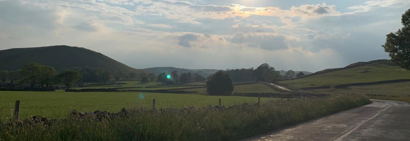
5. Mam Tor and the Great Ridge
Location: Castleton, Peak District
Distance: 6.7 miles / Time: 4-5 hours
The Great Ridge of Mam Tor is often mentioned as one of the best walks in the Peak District and indeed the UK. On the way to the ridge, there are endless views of rolling hills and even a castle.
Starting this walk clockwise, the Great Ridge starts at Mam Tor, perhaps the nicest viewpoint in the Peak District. A narrow pathway then goes the length of the ridge to Lose Hill, from where you descend back to Castleton.
6. Pen y Fan from Storey Arms
Location: Brecon Beacons National Park
Distance: 4.3 miles / Time: 3-4 hours

OS route map for hill walk to Pen y Fan
If Pen Y Fan rings a bell, it’s because it’s the highest hill in the south of Britain. Don’t let that scare you however as the Storey Arms route minimises the ascent and has a large and mostly even track. Your thighs might complain, but your eyes sure won’t!
This walk starts with an uphill and never really relents. It’s not very long though, so you’ll make it to the summit soon enough. If you still have petrol in the tank and time in your day, you could keep walking to the next summit, Cribyn.
7. Cave Hill
Location: Cave Hill Country Park, Belfast
Distance: 4.5 miles / Time: 3-4 hours
Hill walk to Cave Hill Country Park
Check out Ordnance Survey Northern Ireland for activity maps of this area
If you’re around Belfast and want the best views of the city and its surrounding areas and mountains, head north to Belfast Castle. There, you can start this great loop. With good weather, you can see as far as Scotland!
You’ll go through or past caves and geological formations. From the top, take your time to enjoy the views and McArt’s Fort. You could retrace your steps to the castle, but we recommend completing the loop to get the most out of this excellent walk.
8. Jurassic Coast, Swanage
Location: South West English coast
Distance: 5 miles / Time: 2.5 hours

Jurassic Coast, Swanage
This walk isn’t a mountain or hill, but that doesn’t matter. It could be one of the most enjoyable and beautiful walks you take in the UK. This portion of the 100-mile Jurassic Coast follows a path that offers endless views of the sea and rocks.
The sea cradles you as you complete this walk. There’s a natural pool where you could take a dip in warmer weather to cool off. Otherwise, simply enjoy the stunning cliffs, dramatic beaches and grassy landscape. At Anvil Point, retrace your steps.
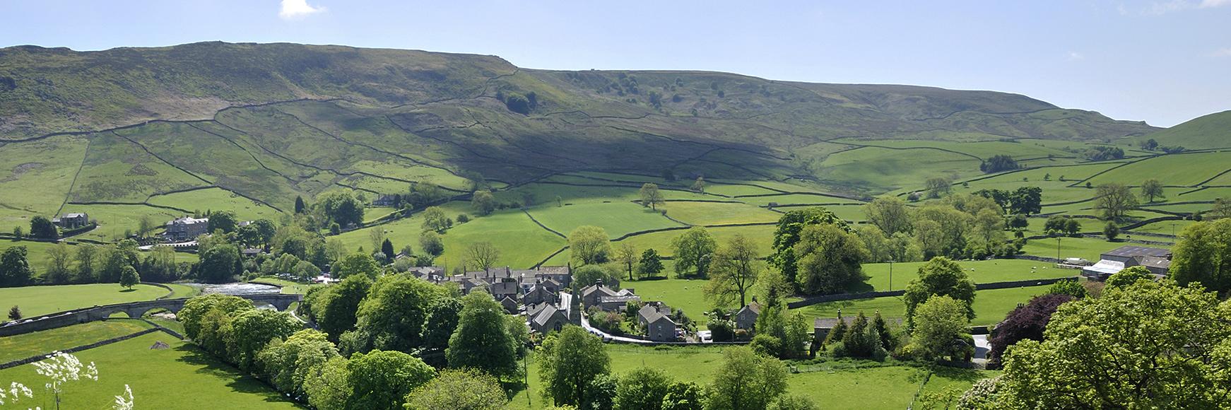
9. Malham Cove
Location: Yorkshire Dales National Park
Distance: 4.4 miles / Time: 2-3 hours
This one is a favourite in a stunning setting that is perfect for beginners and families. It was made even more famous when it was used as a filming location for a Harry Potter movie. You can lengthen it by continuing to Malham Tarn if you feel up to it.
It has a variety of natural features such as waterfalls, a canyon and interesting rocks and geological formations. Malham Cove is a cliff formation carved by glaciers from which you’ll get great views of the park and a fitting end to this outing.
10. The Lizard Coastal Walk
Location: Lizard Coast, Cornwall
Distance: 6 miles / Time: 3 hours

OS Maps route of hill walk along the Lizard Coast
This walk can start right in the village of Lizard. The area has historical significance as Guglielmo Marconi, an inventor and pioneer in modern communications, once conducted research there.
Whilst there aren’t any mountains on this walk, there are still ups and downs. They’ll will take you to Kynance Cove, perhaps the best beach in England, as well as Lizard Point and Pen Olver, from where the views of the coast are outstanding!
So there you have it – our top 10 UK hill walks for beginners. If you think we’ve missed any, or want to share some of your own, please leave a comment!