Ordnance Survey field surveyor and GetOutside Champion David Finlayson reveals what it’s like to help map out Great Britain and how this work contributes to much more than OS leisure maps.
If you’re navigating the Yorkshire Moors, driving to the beach, buying your first home, exercising at the local sports centre, or simply waiting at the bus stop, Ordnance Survey (OS) will have mapped the exact location of the features around you which make up the natural and built environment of Great Britain (GB).
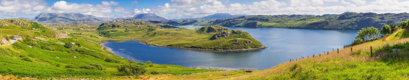
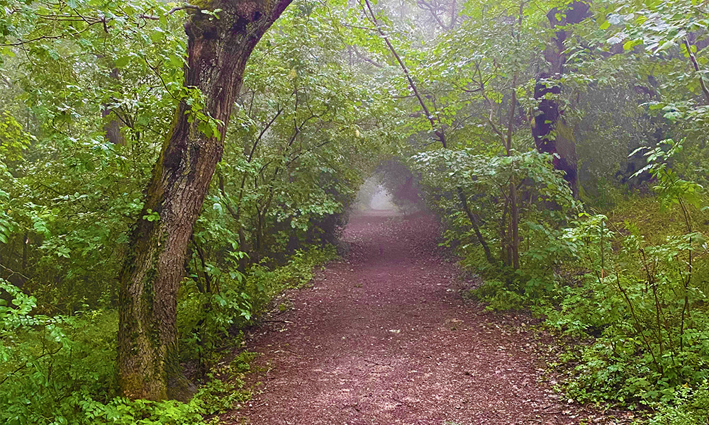
This role takes me to some beautiful places across Great Britain
OS Data
Precise location data is fundamental to Great Britain, both for society and the economy. When people hear the words “Ordnance Survey”, you may initially think of the much-loved walking maps, but our data is used in more ways than you might first imagine. When the famous “Beast from the East” snowstorm hit Cumbria in 2018, our geospatial data was used to support emergency response and crisis management planning teams to help those in need. More recently, this data has played a fundamental role during COVID-19.
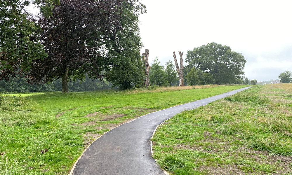
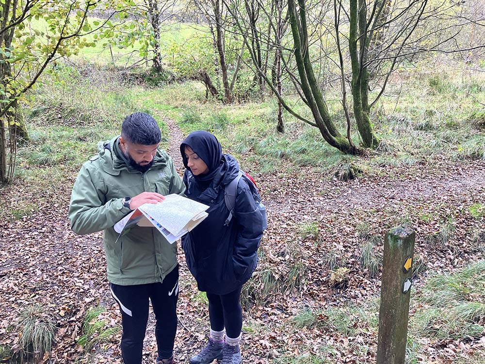
Surveying a new path
With over 200 surveyors across the UK, a flying unit, and an unmanned aerial vehicle team, we make thousands of changes every day to the National Geographic Database which contains over 500 million unique geographic features representing every inch of Great Britain. As a surveyor, we use OS Net (replacement for the much-loved trig pillar) and Global Navigation Satellite System (GNSS) technology to map new features across GB, from the tops of the mountains right down to the beach. Features are located onto the map to an accuracy of just a few centimetres using a technique called RTK (Real Time Kinematic) GNSS, these are then attributed to reflect what the feature is, whether that is a new road, path or building. This is then fed back to the head office in Southampton where it forms the Master Map of Great Britain.
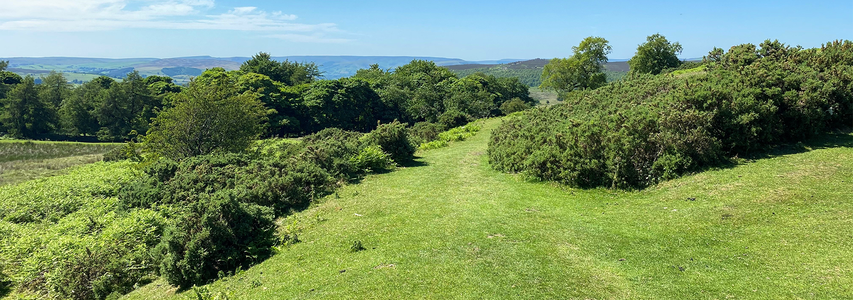
Connecting new paths together
OS data helping you GetOutside
The features you see within the much loved 1:25k, 1:50k and smaller scale leisure mapping are derived from our large-scale maps. As a surveyor, I help capture, attribute and verify these features to ensure our maps are up to date with the latest information. Whether that’s the car park you use prior to starting a hike, a cycle or walking trail, picnic spot, visitors centre, your local park or the youth hostel you stay at, we ensure our data represents the most accurate and up to date view of Great Britain, helping you explore the outdoors with confidence.
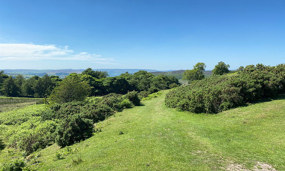
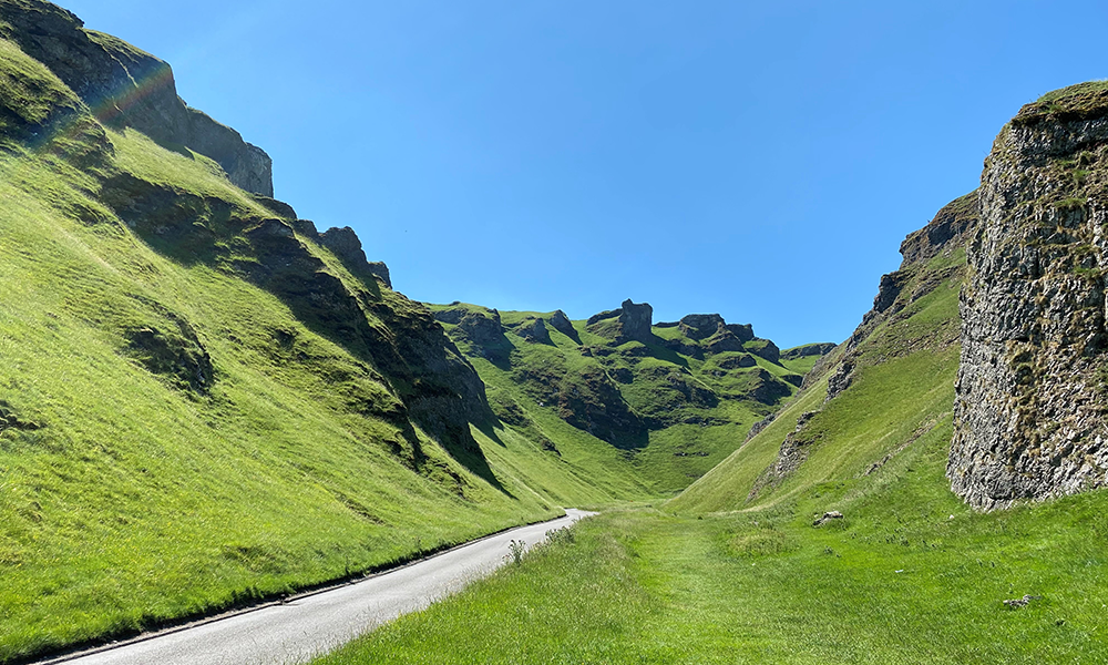
My view when working in the Peak District
Not only does our data help you explore the outdoors, it helps you get there too. When a road is surveyed, we collect the precise location of the road carriageway, further road routing information is then attributed to that feature, from one way streets, height or weight restrictions associated with bridges, or the barriers on a car park. This data is then available to be used in Sat Nav technology.
Below is an example of some of the equipment that we use, you may have seen an OS Surveyor working with this kit somewhere near you, perhaps surveying a footpath, road edge or on a construction site.
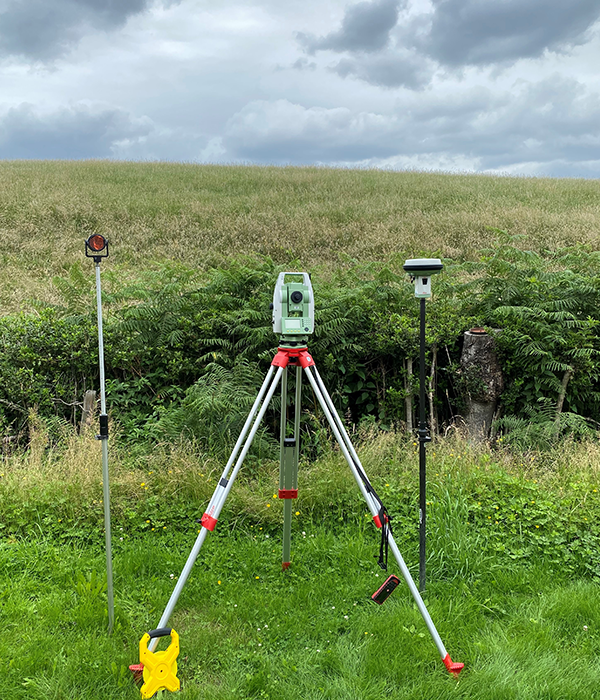
Surveying equipment
Where the role takes me
The endless change to Great Britain’s landscape means that no two days are the same, in terms of both the location, but also what it is that I am there to do.
Below is a photo taken on site. Here, I’m taking survey points along the edge of a new path.
With the sun beating down its very rewarding to see the map grow as you
accurately represent the location of new features.
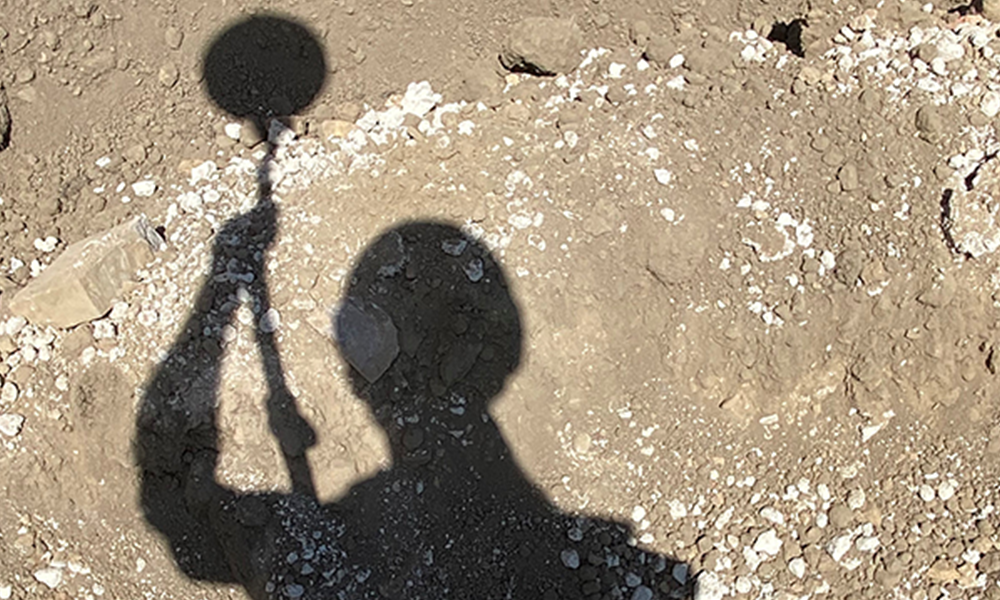
Myself taking survey points