Aspire 2 Inspire Communities with Beth Craigen
Navigation Practice With OS Custom Made Maps
When you pick a date to get out exploring in November, there is always a risk of torrential rain or horrible windy weather but Lancashire was very kind to us with a wonderfully dry, if distinctly grey day for our little adventure around the Holme Chapel Loop.
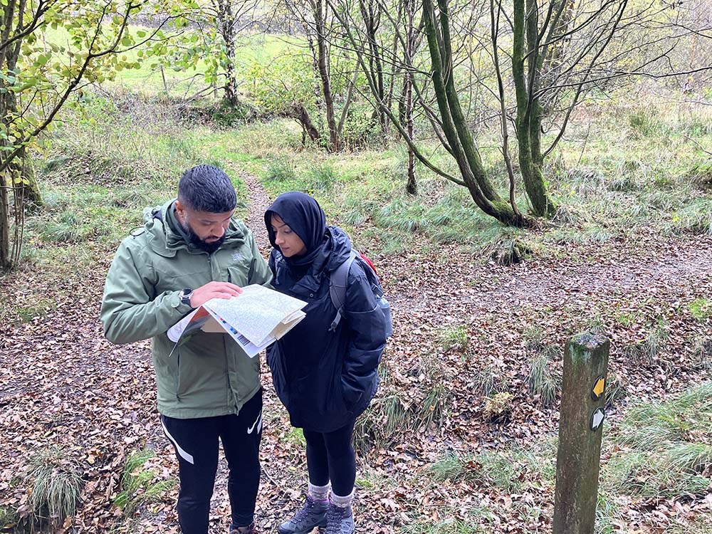
Our aim for the day was to get some practice and mentoring in for the Lowland Leader Award for two of the team Kalsoom and Aqub from Aspire 2 Inspire Communities with support from myself, Beth, OS Champion and Lowland Leader.
Meet Beth Craigen
Find out more about lowland leader and OS Champion Beth Craigen – Find Out More

Aspire 2 Inspire Communities
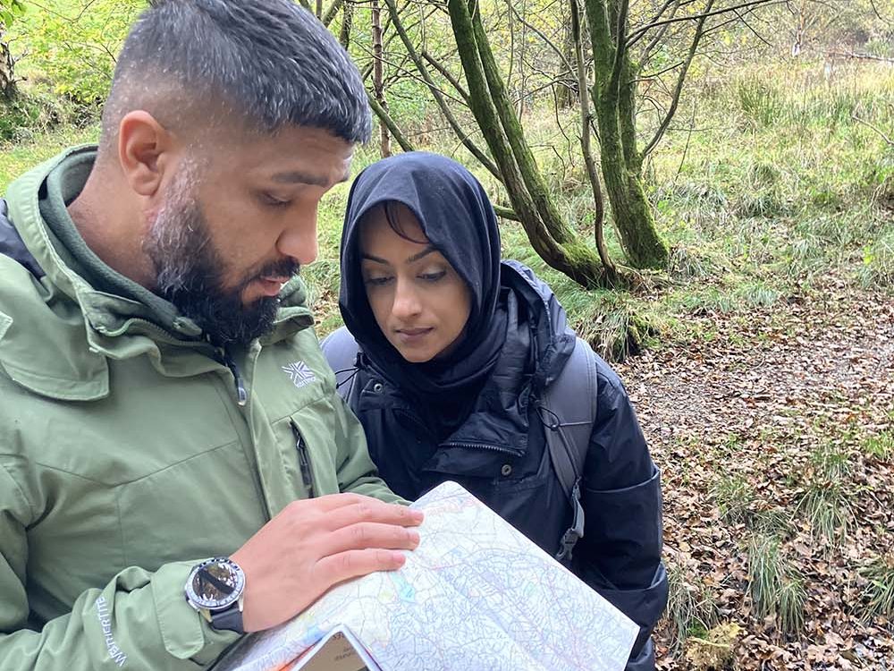
Aspire 2 Inspire are a community organisation that provides support and opportunities to people in deprived situations and a relatively new Duke of Edinburgh Award licensed organisation in Rochdale providing opportunities for young people in their community.
Kalsoom and Aqub have been on their own outdoor journey, upskilling themselves to deliver the DofE expedition allowing their young people to explore their local green spaces.
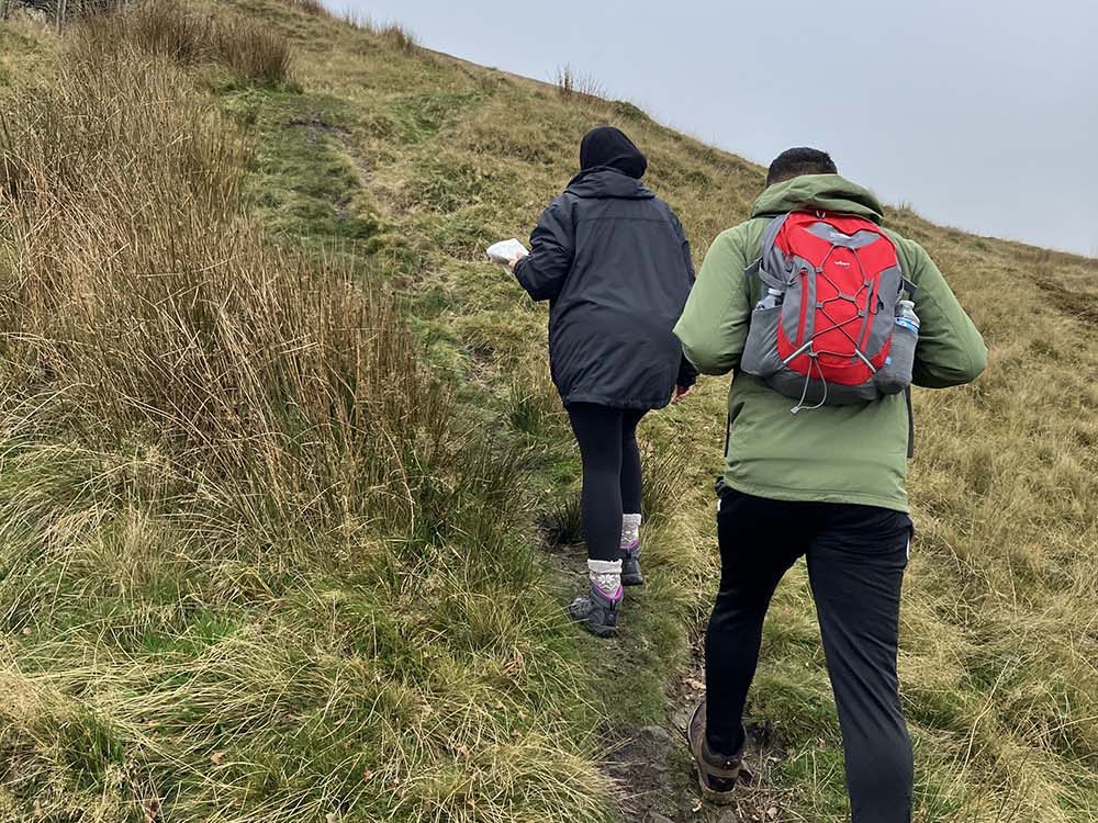
Deciding on a Route and Choosing the Best Location for the Centre of our Custom Made Map
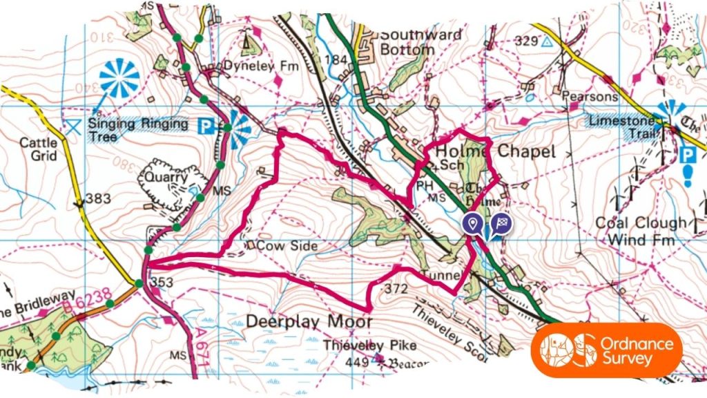
We used our new custom OS Map to decide where we should go to explore. Rochdale is brilliant as although it is a very urban area, it is on the edge of some fantastic green spaces that are easily accessible from the town.
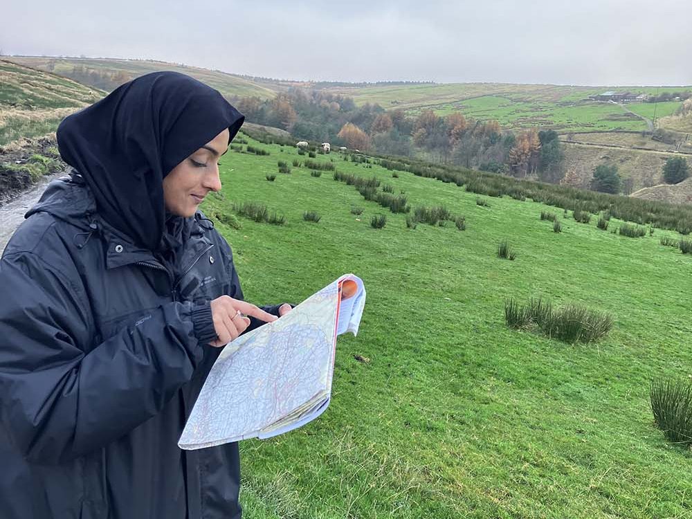
Our new custom map allowed us to explore these and plan nearby routes unlike the standard map coverage which doesn’t include Rochdale on the same map as the surrounding countryside and hills. We used the map to see which areas we hadn’t explored before and looked for interesting features we might like to visit as well as useful terrain for practicing Lowland Leader skills.
We settled on Holme Chapel as an area none of us knew but that looked varied and interesting but with great features for practicing.
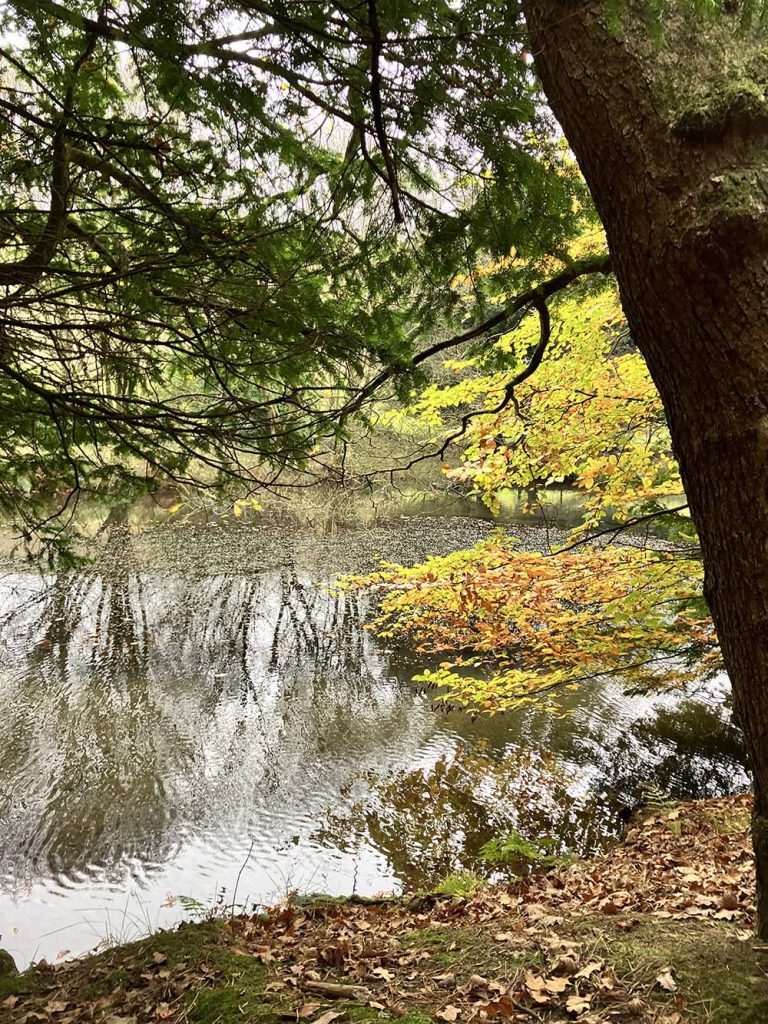
Setting off from our start point, we headed away from the road and soon were surrounded by the wonderful autumn colours and were very excited to spot some deer within about 5 minutes!!
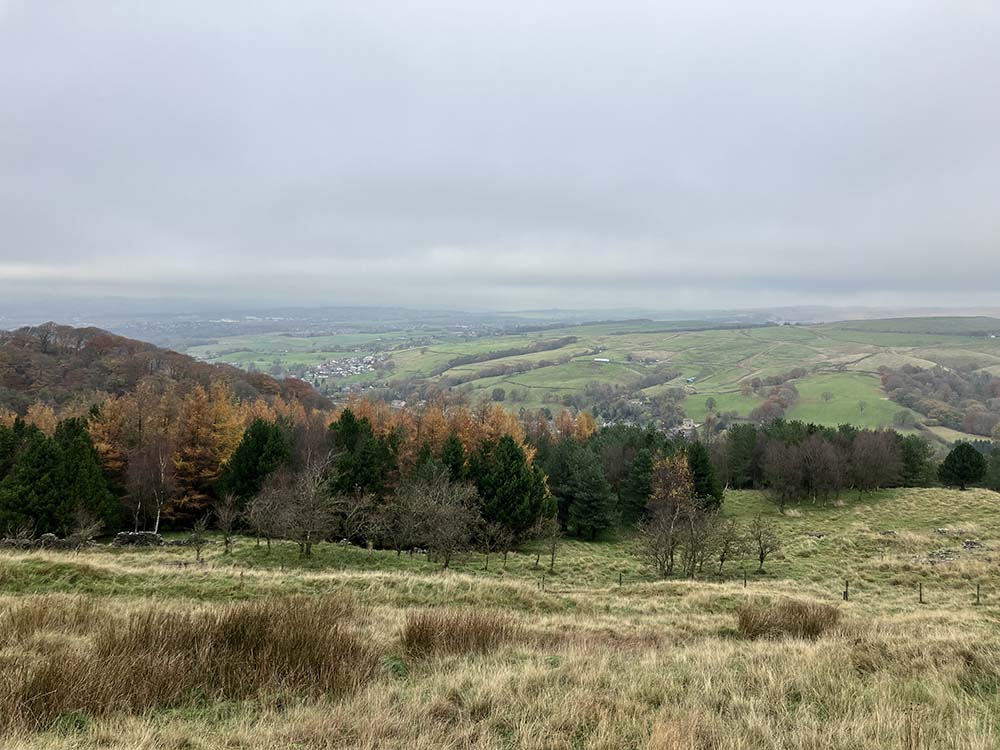
We climbed up the hill for great views across the valley and to the surrounding hills. Even finding a little hidden valley full of amazing red and orange leaved beech trees and skinny silver birches.
Kalsoom and Aqub’s navigation skills were honed on legs of the walk as we wandered the footpaths and bridleways through low level moors and woodland identifying features on the maps and making great route choices.
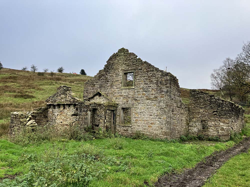
For lunch, we stopped near a tumble-down barn and were treated to a barn owl swooping out right in front of us and hanging out in a nearby tree which was amazing!
We wiggled our way back along the Pennine Bridleway and crossed the road to climb another small hill en route back to the start so we could avoid just traipsing along the road.
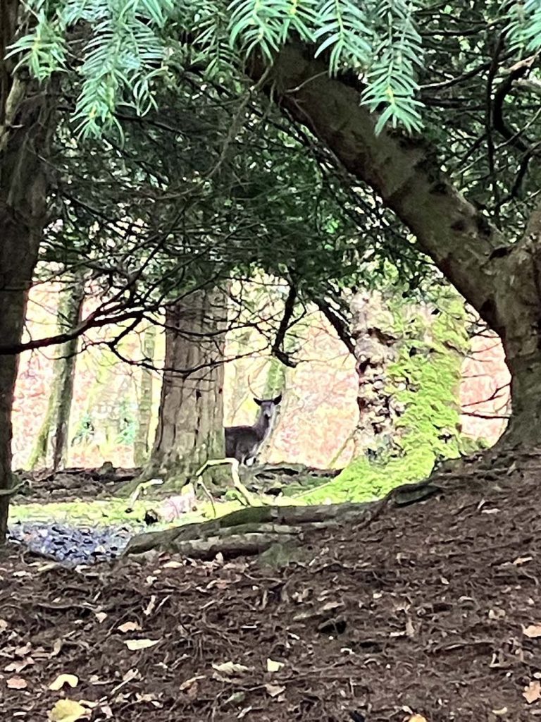
We got more beautiful autumn colours and leaves to crunch through and our final treat was another herd of deer who popped up to show off their antlers and hill running skills. We returned to our start point with muddy boots but happy hearts and confidence in navigation skills plus an enthusiasm to get outside more.
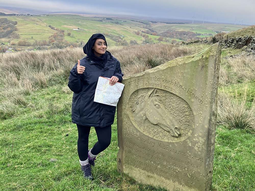
Having our custom map was brilliant for planning routes local to the community centre at Aspire 2 Inspire in Rochdale. It has opened up so many opportunities of places to go and its great to have a paper map for practicing those navigation skills. If you live on the edge of a few standard OS Maps, why not create your own that covers exactly the area you need so you can explore more too.
How to Create a Personalised Ordnance Survey Map
It’s just 3 steps to build your own personalised map

1. Choose the kind of map you would like, Beth picked folded paper maps but you can choose from lots of options.
2. Pick the location and map scale. You simply select where you want the centre of your map to be. You can then reposition the map to include exactly the right areas you want displayed.
3. Next is the really fun bit. Add some personalised text and if choosing a folded map you can pick a photo for the front too.
Start building your very own Ordnance Survey map today!
EXPLORE THE
OS Shop
We are with you every step of the way. Shop our trusted walking and hiking maps and guidebooks so you can explore the outdoors with confidence.
Go to the shop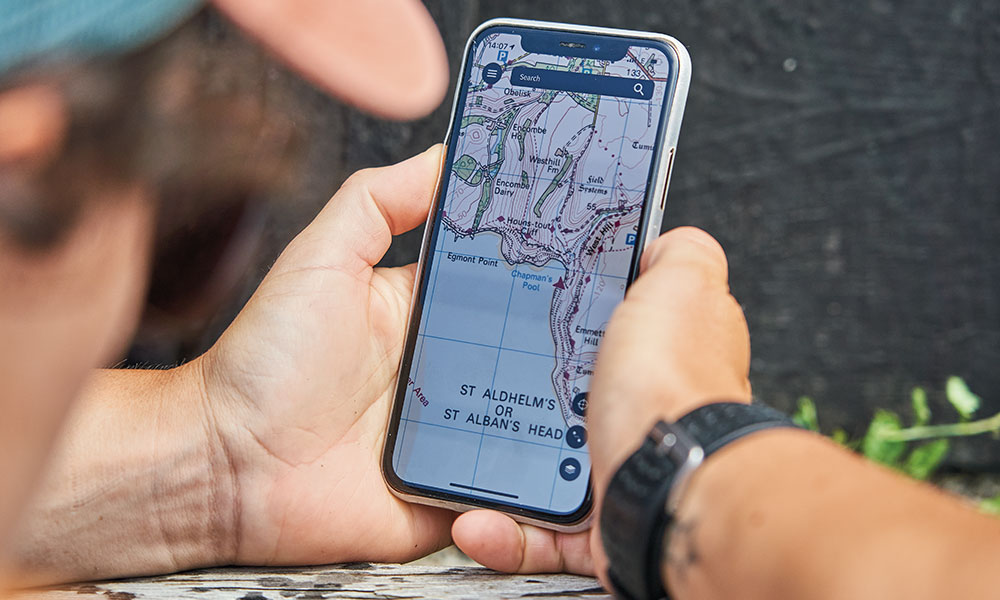
Free Map Reading Guides
Brush up on your map reading skills with these free guides from National Map Reading Week suitable for total beginners, expert navigators and even kids.
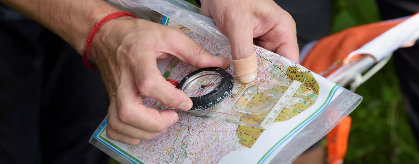
A Beginner’s Guide to Orienteering
Start orienteering with John Warren of the Wimborne Orienteers. Test your navigation skills while you enjoy the outdoors.

Advanced navigation for poor visibility
When you’re walking, running or climbing at night or in poor visibility, things don’t always go as planned. This advanced map reading guide offers expert advice on how to find your location and never be lost again.
