Find lesser-known routes
We take a look at Britain’s secret summits where you can escape the crowds and enjoy some of the best hill walks around. Our friends at Keela recommend their favourite routes to help you reach the top.
Heading to the hills offers an opportunity to get away from it all and lap up some much-needed fresh air. The sense of achievement experienced through hill walking and summit bagging can be enjoyed by all and many British mountains offer an easier route to the top.
Approaching the summit
Our National Parks are welcoming a record numbers of visitors and there’s no denying that the increase in footfall brings a much-needed boost to business. However, some tourist boards have issued pleas to visitors as pathways begin to erode and waiting times at some of the most well-known summits total over an hour. To make the most of our beautiful isle, it’s important we don’t all flock to one place and find special, quieter paths and embrace Britain’s secret summits. Here are some off-the-beaten-track routes for a great adventure.
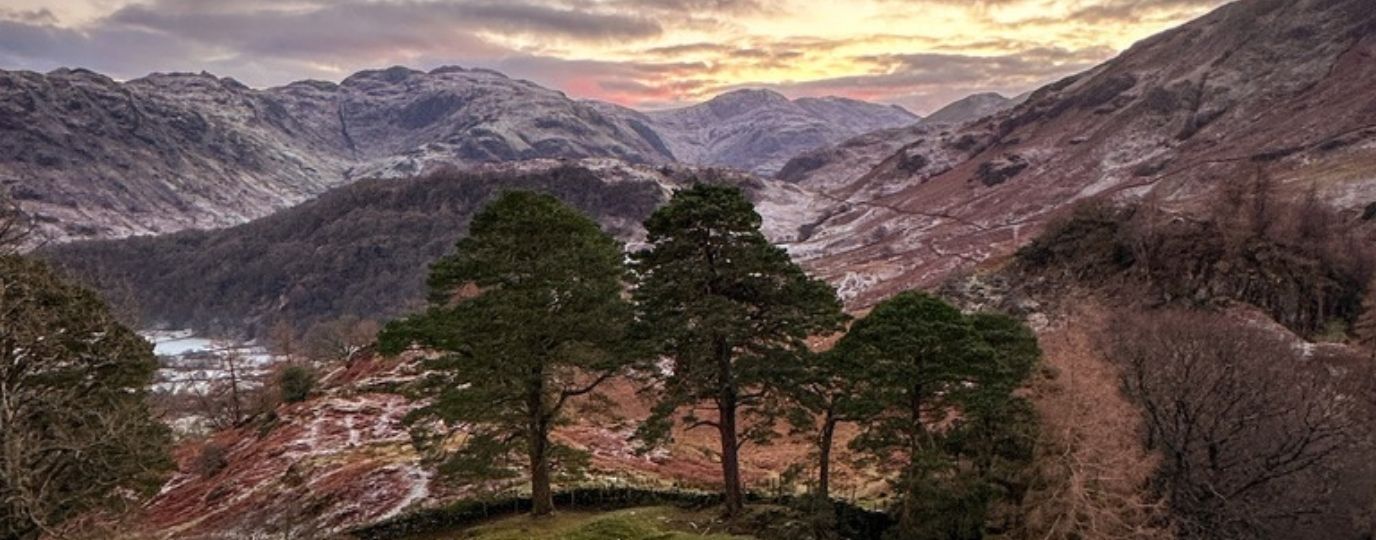
Beinn Mholach – Kinloch Rannoch, Scotland

Beinn Mholach summit walk
Walk distance: 13.5 miles / 21.5 km circular
Summit height: 2759 ft / 841 metres
Total ascent: 2227ft / 679 metres
One of our favourite places to walk is up by the village of Kinloch Rannoch, not too far from the Cairngorms National Park. Taking in the beauty of the Scottish Highlands, this fantastic route begins and ends at the edge of the loch, presenting stunning views throughout. Walking north, past Craiganour Lodge, you’ll take in the beauty of Rannoch Moor and part way through, if you are feeling adventurous, you can take on the rocky terrain of Scotland’s 999th highest peak; Beinn Mholach. This summit is definately worth bagging.
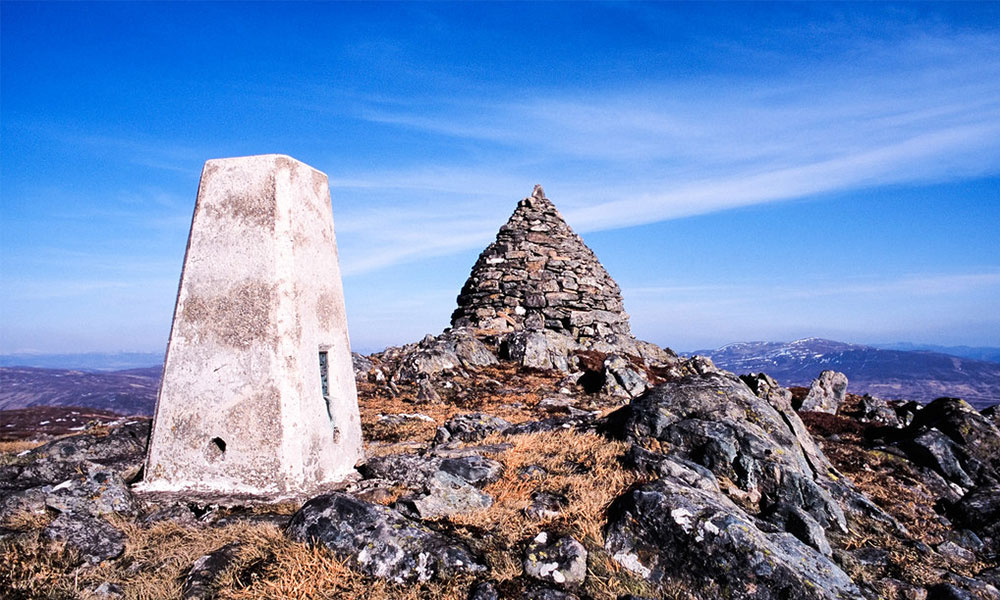
Summit of Beinn Mholach
Simonside – The Simonside Hills, Northumberland National Park
Simonside summit walk
Walk distance: 5 miles / 8 km circular
Summit height: 856 ft / 261 metres
Total ascent: 925 ft / 282 metres
Nestled in Northumberland National Park is the great summit of Simonside. Taking the circular route starting at the Simonside Forestry Commission Car Park, you head west along the well-marked forest pathway. Taking around two hours, the walk to the summit gives you beautiful panoramic views of the North Sea coast. There is even a little bench to rest your legs before heading back down.
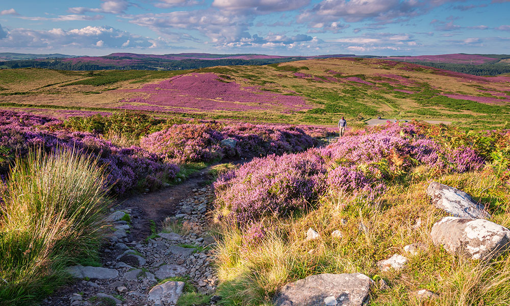
Beautiful heather at the top of the Simonside Hills
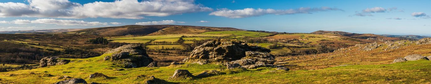
Raggedstone and Midsummer Hills – Hollybush, Malvern Hills
Raggedstone and Midsummer Hills summit walk
Walk distance: 3 miles / 5 km circular
Summit height: 876 ft / 267 metres
Total ascent: 695 ft / 212 metres
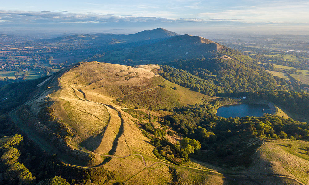
Malvern Hills
Close to the border of Gloucestershire and Herefordshire is the hamlet of Hollybush. Starting at the main car park, walkers can take a stroll up to Ragged Stone Hill before passing an Iron-age fort and taking in views of the Malvern Hills before heading down. If you want to extend your walk, you can take the loop north of Hollybush up to Midsummer Hill. The entire route, including both loops, is only 5km and great for beginner’s. Hollybush is a lovely hamlet also offers a choice of places for refreshment after a joyous afternoon in the hills.
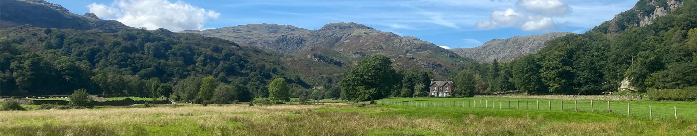
Cader Idris – Snowdonia, Wales
Cader Idris summit walk
Walk distance: 6 miles / 10 km one way
Summit height: 2900 ft / 884 metres
Total ascent: 2752 ft / 839 metres
Sometimes forgotten in favour of Snowden, Cader Idris offers a Welsh walk without the crowds. Set in the south of Snowdonia National Park, Cader Idris provides several different routes for walkers to enjoy. The Cader Idris Horseshoe route is a great starting point for those wanting to try out alternative walks in Snowdonia that are less-crowded but just as impressive as the big names.
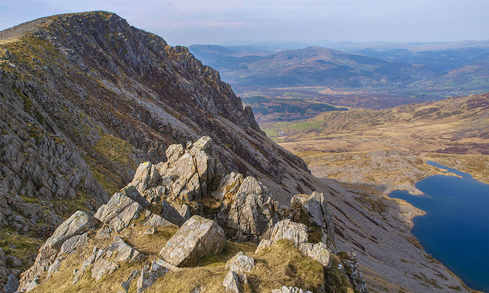
View from Cader Idris summit
Buckden Pike – Yorkshire Dales
Buckden Pike summit walk
Walk distance: 8 miles / 13 km circular
Summit height: 2300 ft / 701 metres
Total ascent: 1824 ft / 556 metres
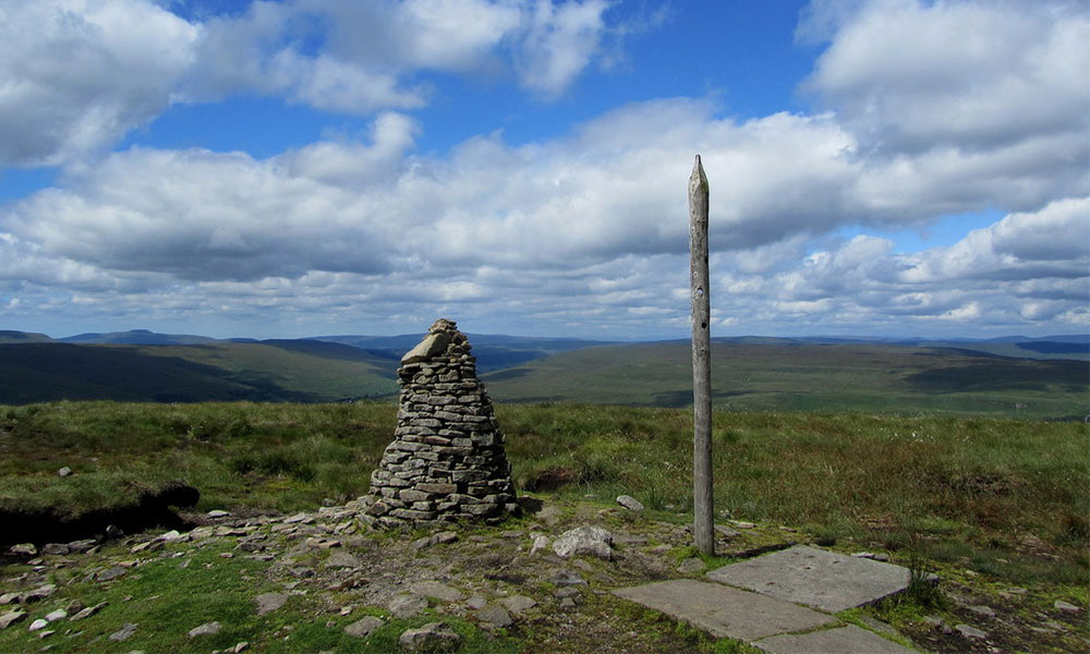
Buckden Pike summit
When visiting the Yorkshire Dales many take up the challenge of the three Yorkshire peaks, but how about a shout-out for the lesser-trodden Buckden Pike? Starting at the car park in Buckden, follow the path up to Buckden Pike and back down to Buckden Rack, a well-trodden track. Here, you’ll loop round to the west passing two pubs and a waterfall on your way. Once you reach the Dales Way it’s a pleasant walk along the River Wharf back to the car.
Getting out exploring your boundaries and heading for new summits never felt so good! For any walk, hike or mountain climb we would recommend considering what you wear for your adventures just as much as where you are going to go. As suppliers of Mountain Rescue teams, we (Keela) know just how important it is to be prepared. There are many more summit routes all around Britain and you can find and plot your own using OS Maps.