The YHA showcase 10 of the best self-guided walks from their hostels, perfect for holidays in the UK. Each circular walk makes a great day out and can be followed using OS Maps.
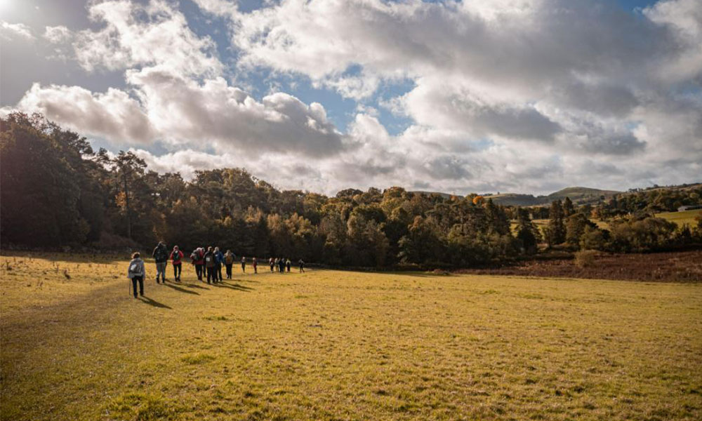
Walking is amazing for the body, mind and the soul. Whether it’s a short morning stride with your furry friend or a ramble for miles and miles, being outside works wonders for our mental wellbeing. That’s why we launched our first YHA Festival of Walking two years ago and this year, we are doing it all again! You can enjoy a month of walks from over 50 of our amazing hostels across England and Wales designed to boost your health and wellbeing, help you learn new walking skills and make connections with nature and the outdoors.
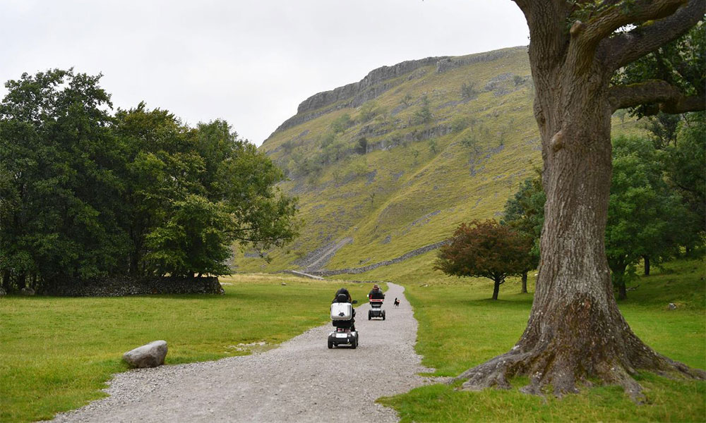
Find information about accessible walking routes at the bottom of this article
One of the main aspects of the festival is our vast range of self-guided walks. Starting and finishing at a variety of our beloved hostels, we have created these routes so you can take it at your own pace whilst discovering the breadth and beauty of the great outdoors across England and Wales.
Each of our routes have their own difficultly level, from easy and moderate to more challenging and severe, making the YHA Festival of Walking suitable for all ages and abilities. We also have a few accessible self-guided walking routes with more information at the bottom of this article.
To give you a preview of the walks on offer, we have highlighted 10 self-guided walking routes in the UK for you to get stuck into… happy rambling!
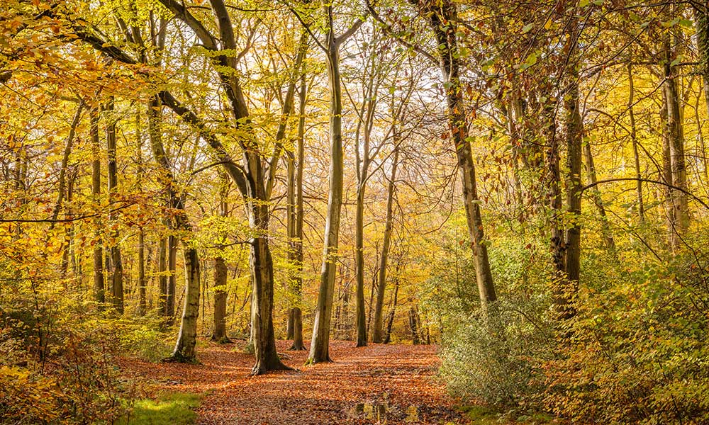
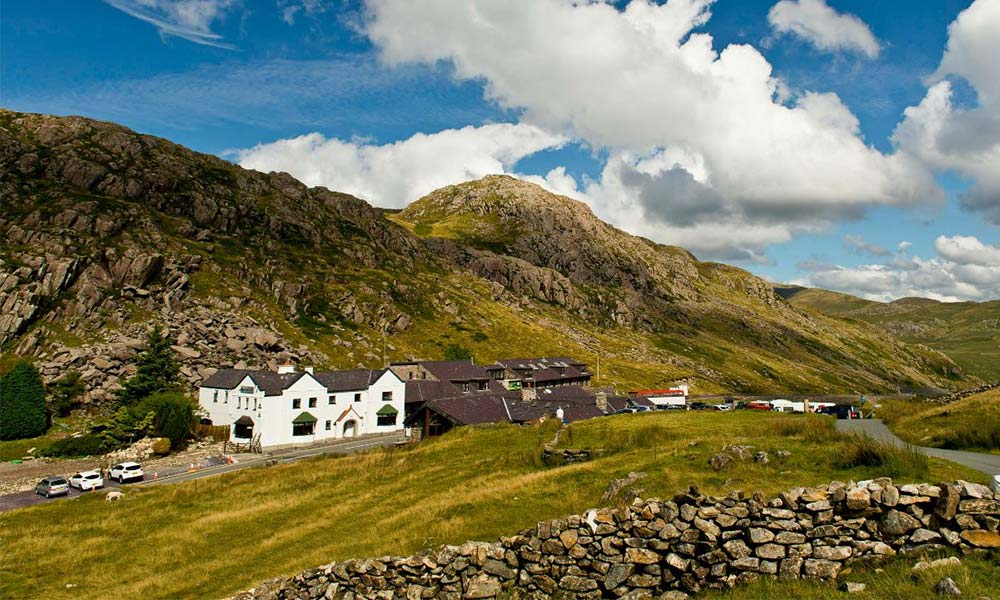
Hartington Village
Peak District National Park

Hartington Village walk
Difficulty level: Easy
Distance: 1.3 miles (2.1km)
Ascent: 57m (187ft)
Time: Allow 30m to 1h
Hartington Village walk
Take on a delightful stroll through the pleasant Hartington Village nestled in the heart of the Peak District National Park. Starting from YHA Harington Hall, this short circular walk takes you alongside nearby country fields where you’ll be surrounded by nature. Back in the village, the famous Hartington cheese shop is well worth a visit. The beautiful sandstone church of St Giles is also nice to explore.
The walking route starts along a paved path. There are a few brief areas that become steeper and more rugged, but the majority of the route is on a well-maintained tarmac surface.
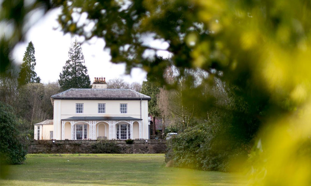
Stay at YHA Hartington Hall.
Little Venice and Abbey Road
London
Little Venice and Abbey Road walk
Difficulty level: Easy
Distance: 7 miles (11.3km)
Ascent: 40m (131ft)
Time: Allow 2h 30m to 4h 15m
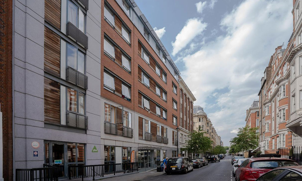
YHA London Central
Explore some of the iconic sites that makes London so popular including the crossing on Abbey Road, made famous by the Beatles This city adventure will take you through Regents Park where you’ll forget you’re in a city. Take time out to relax on a bench and listen to the bird song. Charming Little Venice makes an interesting ramble on the waters edge. Here you’ll find an abundance of life with boat houses, barges, and plenty of feathered friends.
As with most of London, each area has its own charm and can vary a lot in just a short distance, making this urban walk anything but boring! The route follows roads, paths and parks with flat surfaces throughout — mostly tarmac, paved or flat, making is accessible for most wheelchairs.
Stay at YHA London Central.
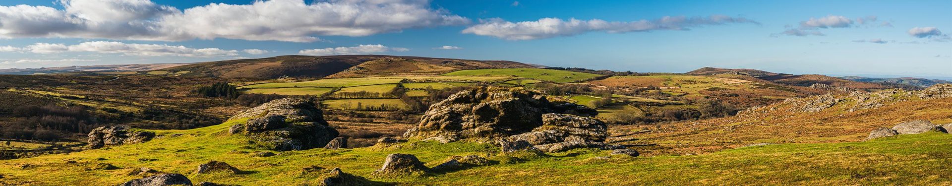
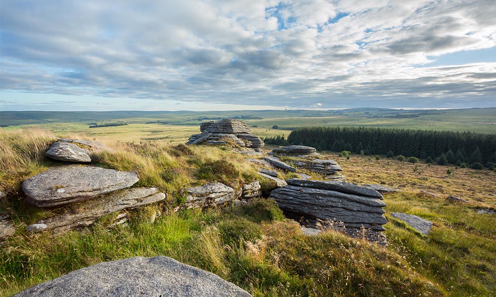
Bellever Tor
Dartmoor
Bellever Tor walk
Difficulty level: Moderate
Distance: 3.7 miles (6km)
Ascent: 172m (564ft)
Time: Allow 1h 45m to 2h 45m
Bellever Tor
An absolute gem! This is a moderate forest, moorland and hill walk with breath-taking views all around. Starting from YHA Dartmoor, this walk will help you explore Bellever Forest where you’ll find an abundance of wildlife, archaeology and grazing Dartmoor ponies. Wander beneath beautiful towering pine trees before making your way onto the moorland and up to Bellever Tor. The path might be rough at this point and if you’d like to bag the trig point, as many do, you’ll need to take an easy scramble up the impressive rock formation.
There are stiles on the route, paths and gates are all at least one metre wide. The surface includes paved road, good track, grassy moorland path and uneven paths. The majority of the route is not wheelchair or pushchair accessible, but the path through the forest is fairly flat and would be suitable for some wheelchairs and pushchairs.
Hawkshead
Lake District
Difficulty level: Easy
Distance: 3.2 miles (5.2km)
Ascent: 85m (279ft)
Time: Allow 1h 15m to 2h 15m
Hawkshead
Explore the historic market village of Hawkshead, nestled in England’s largest National Park – the Lake District. Hawkshead has a timeless charm and is made up of secret alleys, stone houses and a series of mediaeval squares just waiting to be explored. This short walk will take you around the village and through some of the surrounding countryside. There’s a great selection of gift shops, tea rooms and rustic pubs to entice you.
On this easy walking route, there is one stile, single steps, gates and paths less than one metre wide. The terrain is mostly paved but includes a section of sloping grass with a deeply rutted and narrow trail.
Stay at YHA Hawkshead.
Burnham Beeches National Nature Reserve
The Chilterns
Burnham Beeches walk
Difficulty level: Challenging
Distance: 14.9 miles (24km)
Ascent: 289m (948ft)
Time: Allow 6h to 10h
Burnham Beeches National Nature Reserve
This is a lengthy challenging countryside walk that will take you through quiet country lanes and footpaths to the Burnham Beeches National Nature Reserve, a must visit when in the Chilterns AONB. Burnham Beeches is also a Site of Special Scientific Interest and a Special Area of Conservation making it a hugely important place for wildlife. Here you can explore – responsibly – some of Britain’s best diverse habitats including ancient beech trees, grassland and ponds. Three Scheduled Ancient Monuments on the site shows inhabitation as early as the Iron Age.
The route is mostly tarmac, smooth or crushed stone, with small sections of beaten earth, rough grass or stones. There are stiles along the route and the path is narrow at times.
Stay at YHA Jordans
Presipe Beach
South Pembrokeshire
Presipe Beach walk
Difficulty level: Easy
Distance: 2.1 miles (3.4km)
Ascent: 73m (240ft)
Time: Allow 1h to 1h 30m
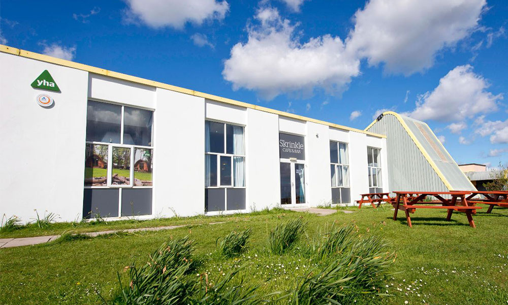
YHA Manorbier
This scenic stroll is perfect for a discovering South Pembrokeshire or a trip to the beautiful Presipe Beach. Starting from YHA Manorbier, you’ll head towards the beautiful coast and turn on to the much-loved Wales Coast Path. When you reach the gate to Presipe Beach go through it and take the steps on the left. This tranquil sand beach is often described as one of Pembrokeshire’s best hidden gems. Make sure to capture the views in your memory!
This easy walking route includes long sections of paved road, grass, and sections of rough ground.
Stay at YHA Manorbier
Winshield Crags
Northumberland
Winshield Crags walk
Difficulty level: Moderate
Distance: 2.3 miles (3.7km)
Ascent: 125m (410ft)
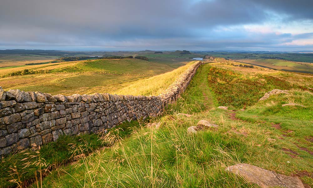
Winshield Crags
This route is a short but hilly walk to the highest point of Hadrian’s Wall and will provide you with breath-taking views across the Northumberland National Park. The highest point on the walk, Winshield Crags (340m), is home to a trig point marking your summit accomplishment. Up the top you’ll be able to see down on Wark and Kielder Forests to the north and on a clear day, see as far at the Cheviots. Whilst you’re up there, take some time to enjoy the view and then re-trace your steps back to the road.
This walk has a mixture of paved roads and good unpaved paths from the hostel to Peel. From here the route to Winshield Crags is mostly grassy path with occasional rocks and muddy puddles.
Stay at YHA The Sill at Hadrian’s Wall
The Horns
Snowdonia
The Horns walk
Difficulty level: Moderate
Distance: 2.3 miles (3.8km)
Ascent: 270m (886ft)
Time: Allow 1h 30m to 2h 15m
Pen y Pass Snowdonia
This moderate walking route in Snowdonia boasts amazing views and helps you get away from the crowds, perfect for exploring a new area. Despite being a short walk, you’ll get to experience the Pyg Track – a fantastic route up Snowdon. This path is well-defined and easy to follow, gradually becoming steep and rocky. Instead of crossing the stile towards Snowdon, you’ll turn left and walk back down along a grassy path towards The Horns, an older but equally as impressive trail up Snowdon. This walk is perfect for those who want to experience the beauty of the Snowdonia Horseshoe but whose time is limited.
This walk consists of well-made paths which are steep and rocky in places plus a grass path which can become a little faint at times.
Stay at YHA Snowdon Pen-y-Pass
Twyn Du and Graig Fan Las
Brecon Beacons
Twyn Du and Graig Fan Las walk
Difficultly level: Challenging
Distance: 11.9 miles (19.1 km)
Ascent: 689m
Time: Allow 6h 15m to 10h
Talybont Reservoir
This is a lovely route through the Welsh mountains finishing with a long gentle descent through magical woodland. Reaching heights of over 700m, you’ll experience some of the best walking the Brecon Beacons has to offer. Part of the route joins up with the popular Beacons Way which is well trodden and waymarked. You’ll enjoy views over moorland and forests and have a great vantage point of the Talybont Reservoir, which is the largest still water reservoir in the central Brecon Beacons.
There are stiles on the route, paths less than one metre wide with ruts or stones exceeding 10cm.
Stay at YHA Brecon Beacons Danywenallt
Firle Beacon
South Downs
Firle Beacon walk
Difficultly level: Severe
Distance: 20.3 miles (32.7km)
Ascent: 405m (1,329ft)
Time: Allow 8h 45m to 10h (caution slow walkers, may require over 14h)
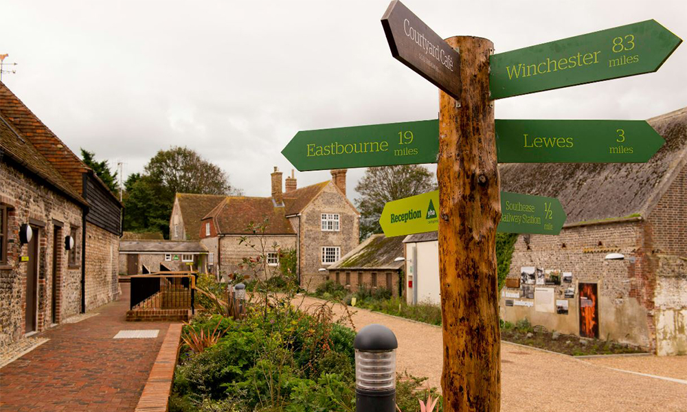
YHA South Downs
This stunning long walking route in the South Downs has incredible scenery, shimmering rivers, and passes quaint English towns. Start from YHA South Downs, you’ll follow the popular South Downs Way over Firle Beacon – a popular viewpoint with memorable views and a great place for a picnic. You’ll soon reach Alfriston, picturesque historic village with plenty of shops and eateries to enjoy. You can’t beat waterside views and much of the route will take you along the scenic Cuckmere River, the River Ouse and along impressive coastal cliffs.
There are steps and stiles on the route. The gates and paths less than one metre wide and sections of rough ground with ruts or stones greater than 10cm.
Stay at YHA South Downs
Accessible self-guided walking routes
We have been working with Access the Dales and have identified a wider range of accessible self-guided walking routes that are close to YHA hostels. With trails in the Peak District and Pembrokeshire to the Lake District, West Wales and more, we have something for everyone to enjoy. Have a read of more of our walking blog articles. Written by Ruby Higton, Digital Marketing Lead at YHA.