BEGINNER HIKES IN THE NEW FOREST
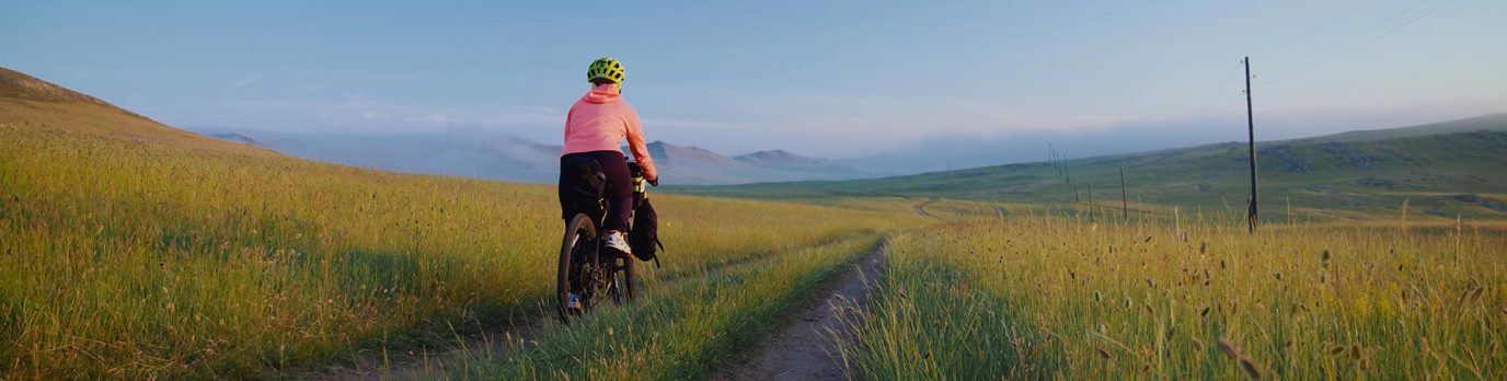
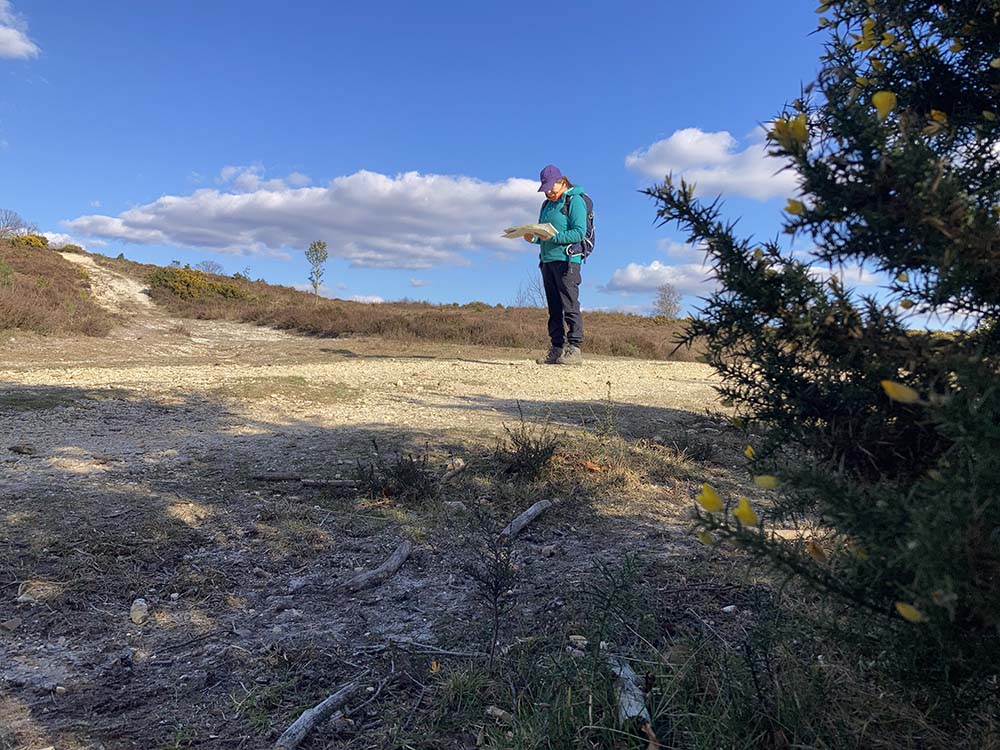
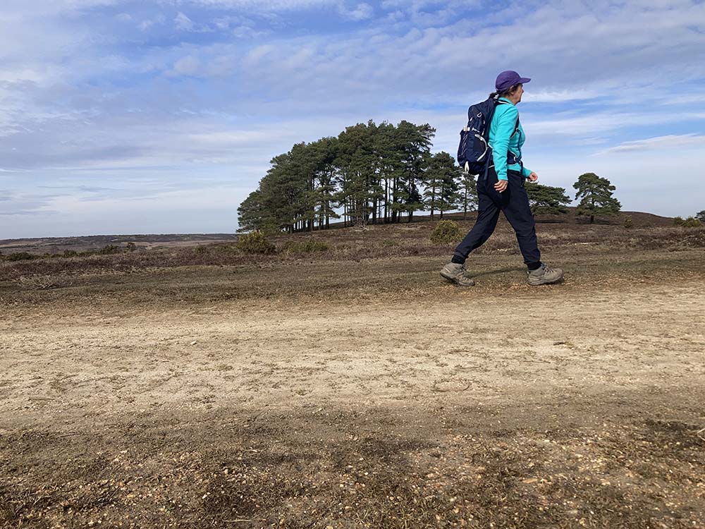
The New Forest National Park is an ideal place for beginner hiking: it’s mostly flat, you are never far from facilities in a town or village and hikes can take in a wonderful mix of woodland, heathland and moorland. It’s a great area to safely develop map reading and navigation skills , and to test out gear and clothing.
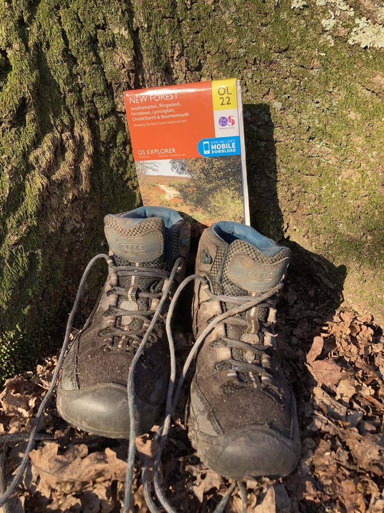
There is plenty of natural beauty and tranquility to be found such as the smell of vanilla from the gorse and the vibrant colours of the heather in summer, the changing autumnal leaf colours, shapes of fungi, and the sounds of birdsong. Take a printed copy of the routes or the OS Paper Map OL22 as well as downloading the route for off-line use on the OS Maps app so you can track where you are.

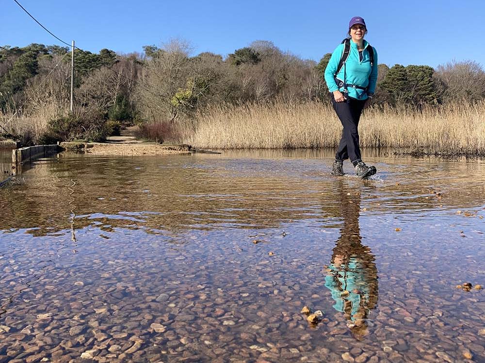
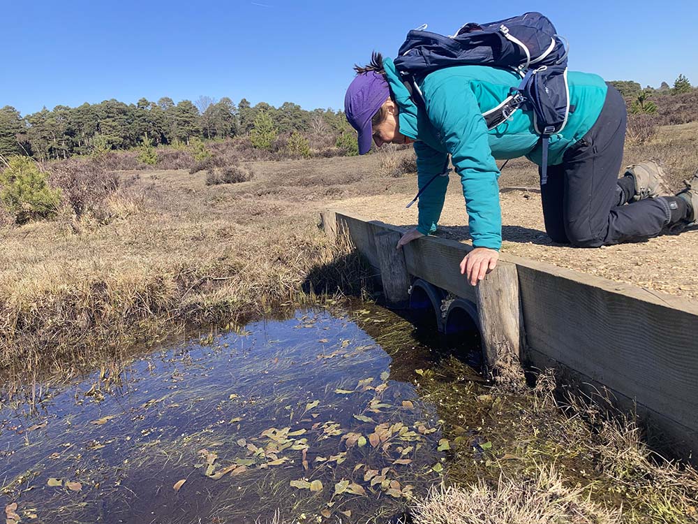
The New Forest has high status as a conservation designation ( RAMSAR, SSSI, SPA and SAC) and as a beginner hiker it’s international wetland status (RAMSAR) means you will have plenty of opportunities to practise navigating around the boggy valley mires, maybe see some rare insects and plants, and test out the waterproofness of your footwear. Look at the Ordnance Survey OL22 map or app and you will see many places named with ‘bog’ or ‘bottom’ indicating the precious wetland habitat.
These 5 beginner hikes in the New Forest will enable you to focus on the following map legend symbols: footbridge, ford, marsh, pond, stream, scrub, bracken, heath, rough grassland, coniferous trees, non-coniferous trees, trig point and small paths.
There is some gentle undulation across the 5 routes, with contours between 15m at the lowest ( Brockenhurst Hike) and 113m at the highest (Frogham-Fritham Hike) . The hikes range from 9km to 14km , taking around 2-4 hours. Although never too far from settlement, you can still feel remote at times and you’ll still need snacks, water, layers of clothing for changeable conditions and waterproof footwear is a good idea for much of the year.

EXPLORE THE
OS Shop
We are with you every step of the way. Shop our trusted walking and hiking maps and guidebooks so you can explore the outdoors with confidence.
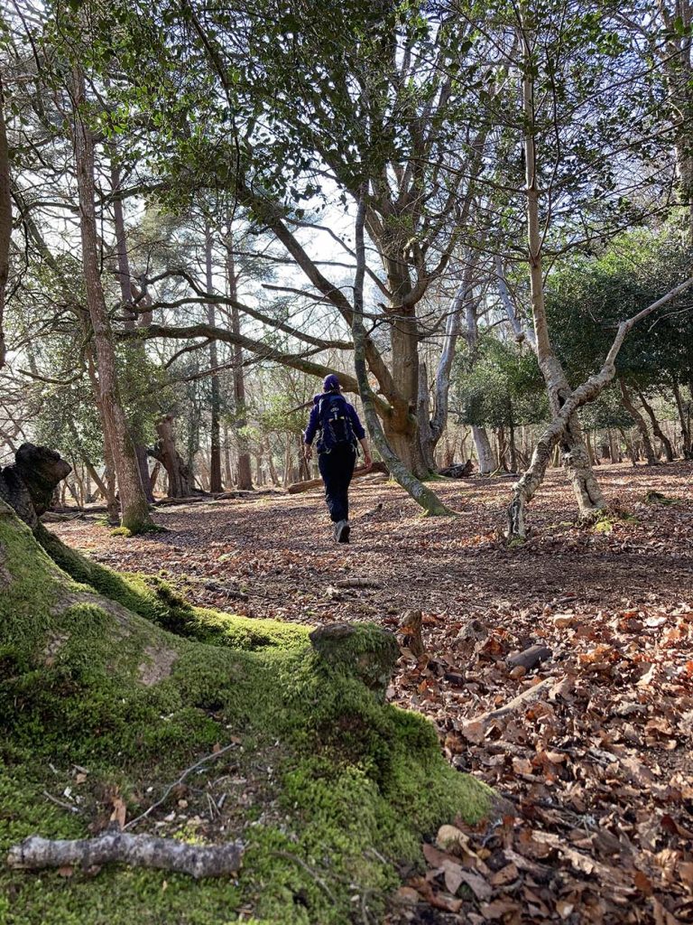
Go to the shopFor walks less than 9km, on easy to navigate trails with full instructions, then I can thoroughly recommend the OS Short Walks Made Easy book. My beginner hikes described here, start in similar locations to the short walks, and share some of the routes but have additional, more remote sections added which will enable you to practise being on your feet for longer and practise navigating along small paths with only the map or app to guide you.

New Forest Beginner Hike 1: Lyndhurst 10km, 2+ hours, 92m of Ascent
If you are new to this area , I suggest this Lyndhurst hike as a starter as it’s a good mix of woodland and moorland, and you would be able to visit the free, Heritage Centre museum which will give you an overview of how this unique landscape has been created and shaped over time.
This route follows the SWME Book ( Walk 3, p.28) for the first part on wider tracks through woodland, but adds an extension across White Moor and Foxhill Moor where you need to navigate on smaller paths and cross some water.
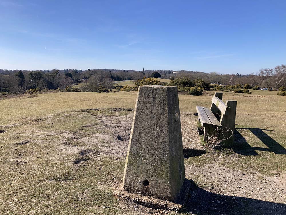
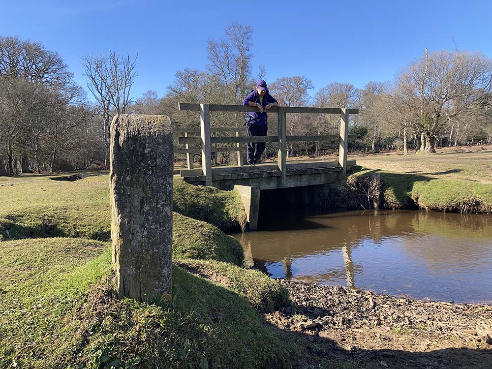
There’s a trig point at 49m to bag and views to enjoy, a boundary stone near a tributary of the Beaulieu River to find, footbridges to cross, and a church with a spire to spot in the distance. There’s some lovely beech trees in the non-coniferous woodland of Mallard Wood. Be aware that not all the footbridges on this route are marked with FB on the map. And nor is the Parish of Colbury boundary stone marked with BS on the map on this route but there is a dotted boundary line shown and another stone marked just off the route.
Car Parking at Bolton’s Bench and next to Lyndhurst Heritage Centre. Shops, pubs, cafes and toilets in Lyndhurst.
New Forest Beginner Hike 2: Sway 10km, 2+ hours, 118m of Ascent
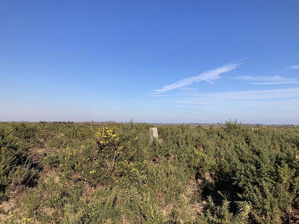
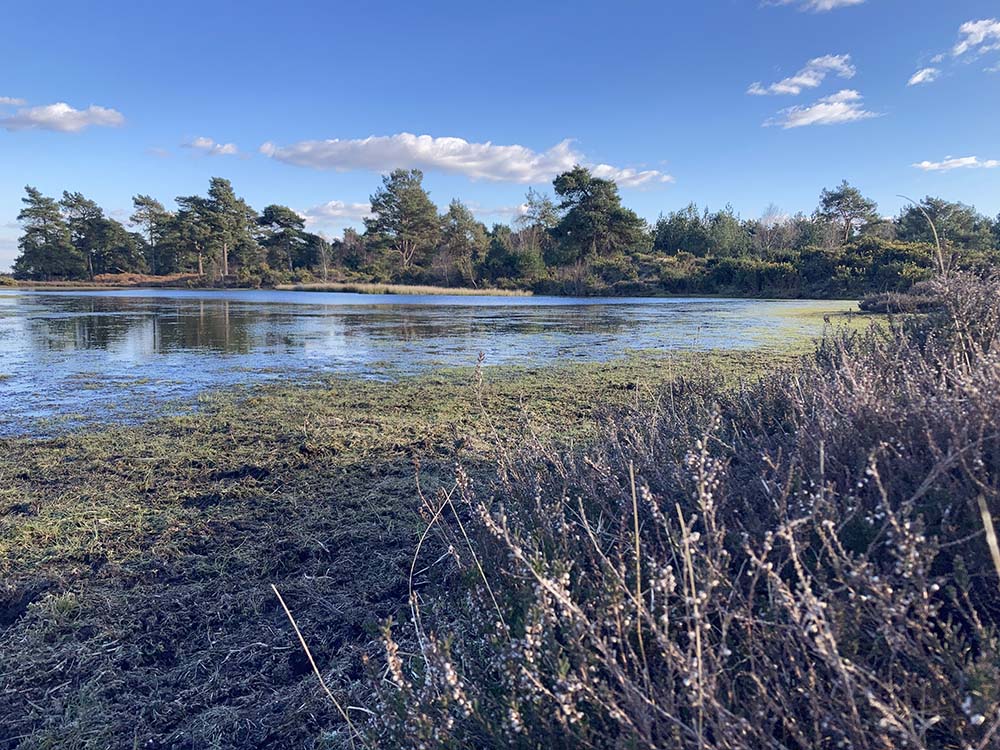
This route follows the SWME Book ( Walk 9, p68) for the first and last sections but adds an additional part in the middle, there are some boggy and marshy sections. There’s a trig point amongst the gorse to find at 59m, a pond to pass, mixed woodland to walk through, a small section of open grassland on Long Slade Bottom without a defined path to follow and on old railway to pass over and under. There are plenty of marsh symbols on the map around Hincheslea Bog and it can get very wet here by the small pond.
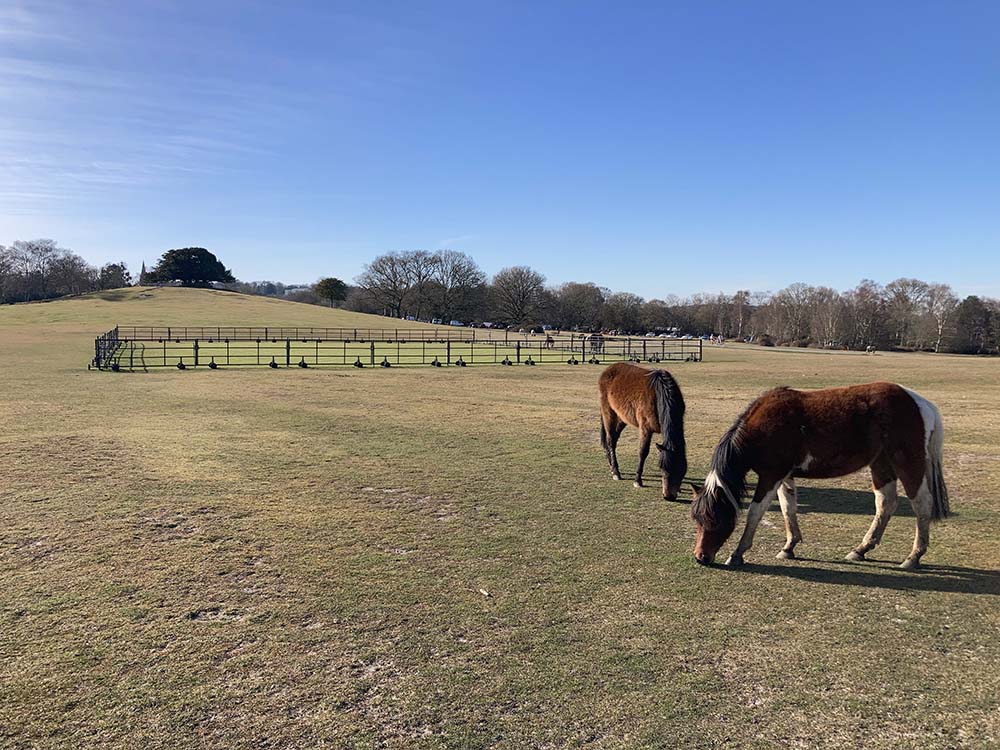
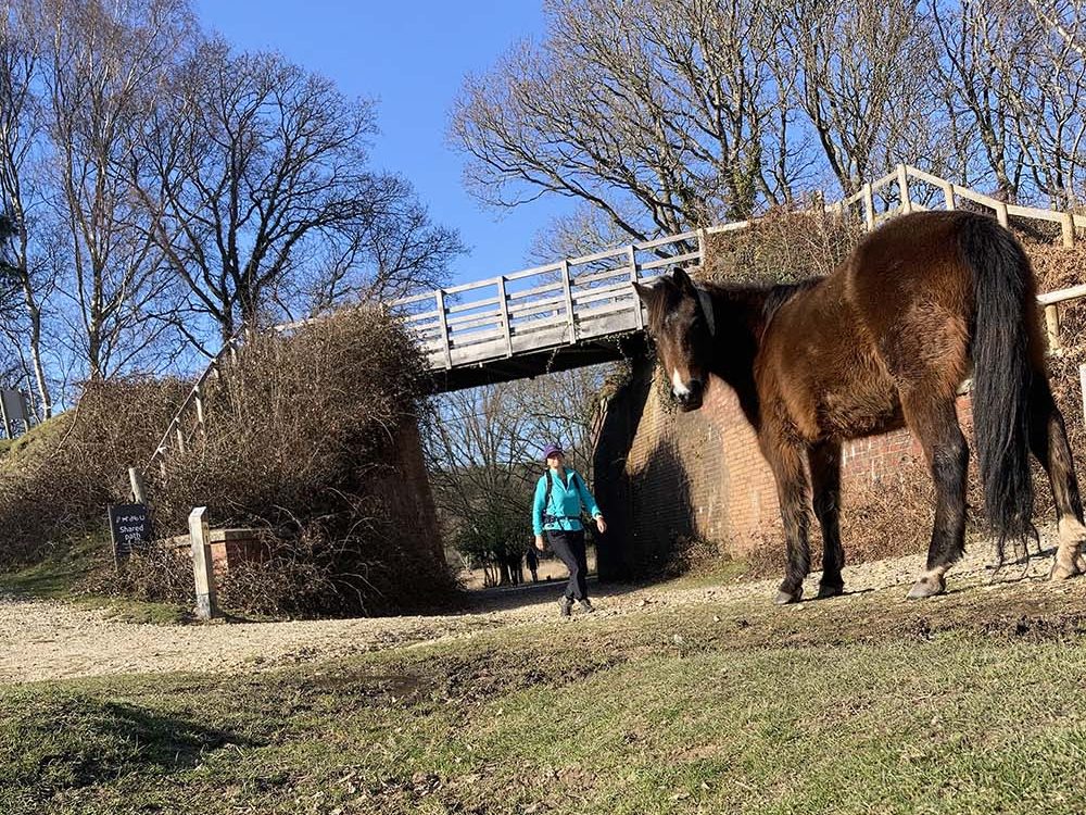
You will no doubt see many ponies on this route. They could be blocking the path .They are all owned by Commoners who let them out onto the Forest to live and graze. Part of the New Forest Code is that these ponies (along with the free roaming cattle, donkeys and pigs) are not to be fed, nor touched ( there are fines for doing so) so you’ll need to navigate carefully around these beautiful, semi wild animals.
Car Parking at Sway Train Station, Horsehoe Bottom, Longslade Bottom, Longslade Heath, Longslade View. Pub, cafe and shop in Sway Village.
New Forest Beginner Hike 3: Burley 9km , 2+ hours, 105m of Ascent
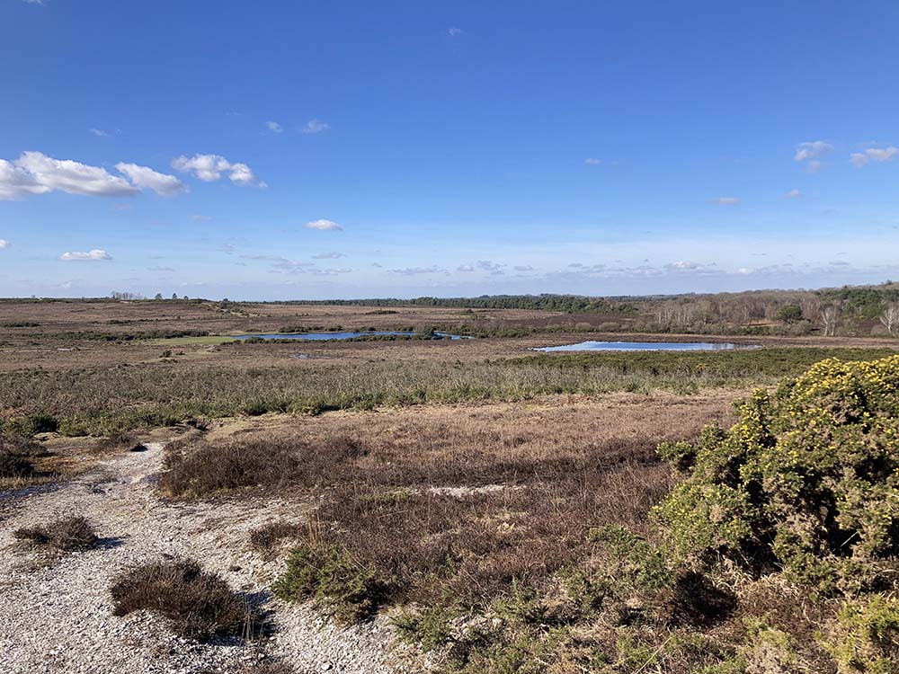
This hike has three boggy ‘bottoms’ – Shappen, Whitten and Slap. It can be very wet around Whitten Bottom and Pond but it is a lovely place for a snack stop about half way round. Often animals and birds gather here. There’s a couple of other smaller ponds too. 75% of all species of dragonfly and damselflies are found in the New Forest , as well as all 6 species of our native reptiles.
You’ll cross through the cuttings of the old railway line on two occasions, and this is a good feature to use as a check for where you are on the map. It’s also an alternative pathway should you need to shorten the route. Over at Dur Hill Inclosure, the map shows an area of coniferous trees. However, these are no longer there as they have been felled as part of a habitat restoration programme. This can happen; that the map doesn’t always represent the latest development on the ground, especially with conifer plantations. Always good to check for several features on a map to locate yourself rather than rely on one.
Car Parking at Burley, Burley Cricket and Burbush. Shops, toilets, cafes and pubs in Burley Village.
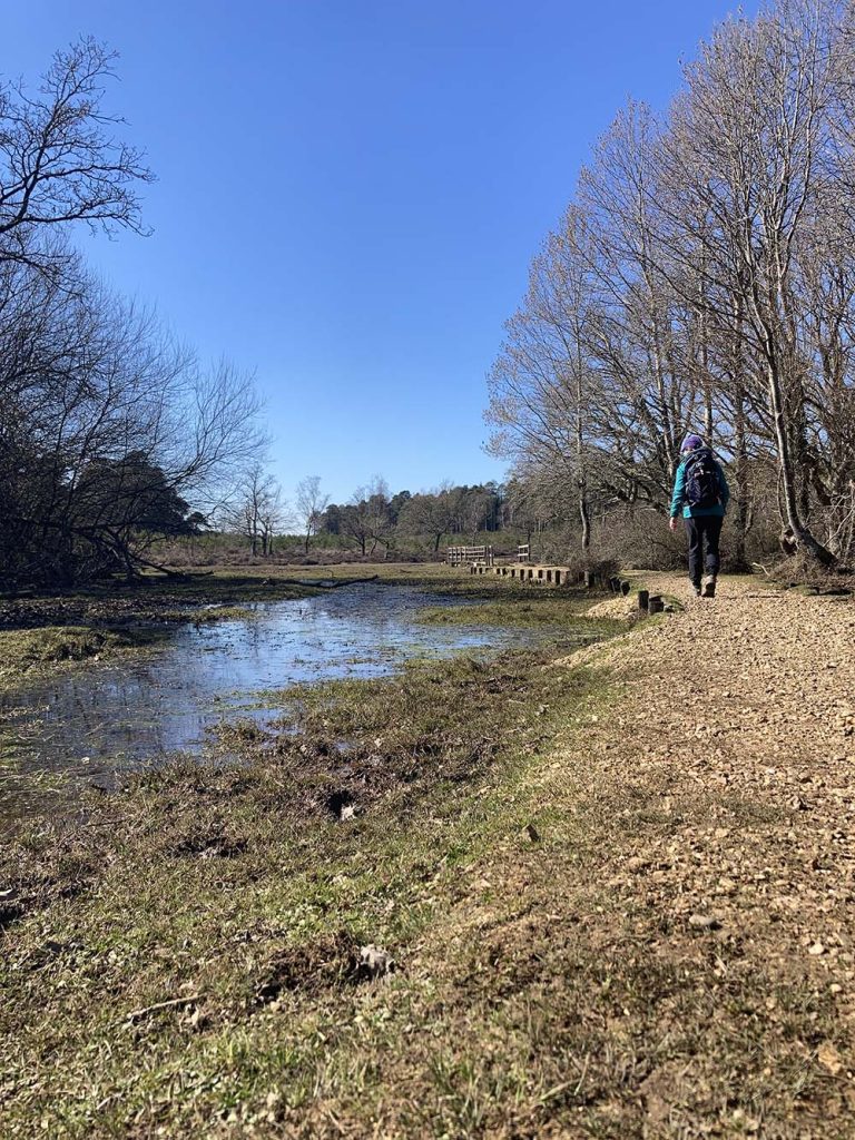
New Forest Beginner Hike 4: Brockenhurst 13 km, 3-4 hours , 79m of Ascent
A hike to practise being on your feet for longer, carrying a rucksack further and planning in a stop for lunch maybe. The highest point with some good views is around Holm Hill where you could picnic by the holly trees. There are several places in the New Forest named ‘holm’ on the map being associated with holly.
Plenty of woodland, water, bog, moorland and heathland to travel through on this route. There are several footbridges over streams and small ponds which I always like to spend time at. The ponds and streams on the Forest are often a dark, murky brown. The wet areas are often surrounded by tall, wispy Cotton Grass (or Bog Cotton).
There are a couple of stiles on the footpath near the horse riding stables.
Car parking at Brockenhurst Train Station, Beachern Wood Car Park. Pubs, cafes, shops, toilets in Brockenhurst Village.
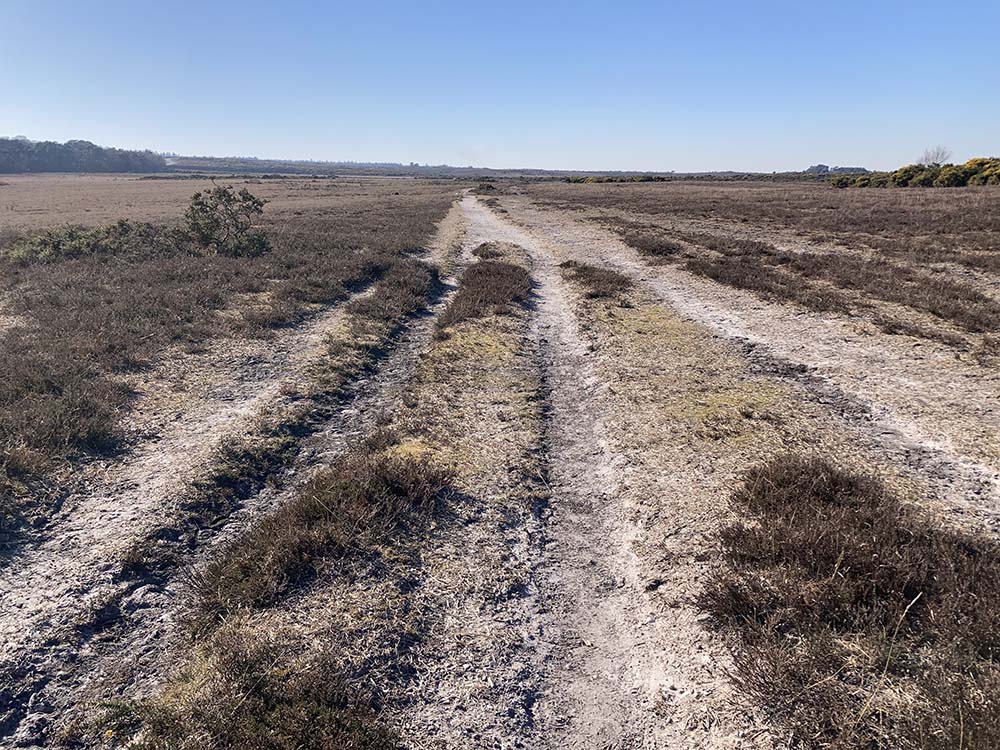
New Forest Beginner Hike 5: Abbotswell, Frogham to Fritham, 14km, 3-4 hours 179m of Ascent
Another longer hike to practise time on feet and some relatively higher elevation in the more northerly, remote section of the Forest with some far reaching views. There’s a trig point at 100m to bag. The ridge between Frogham and Fritham was once a main route from Southampton across the Forest and this hike goes along some of it. There’s Abbots Well, first recorded in 1215, to find with one watering hole designed for animals and one for humans (not that I would drink from it now!)
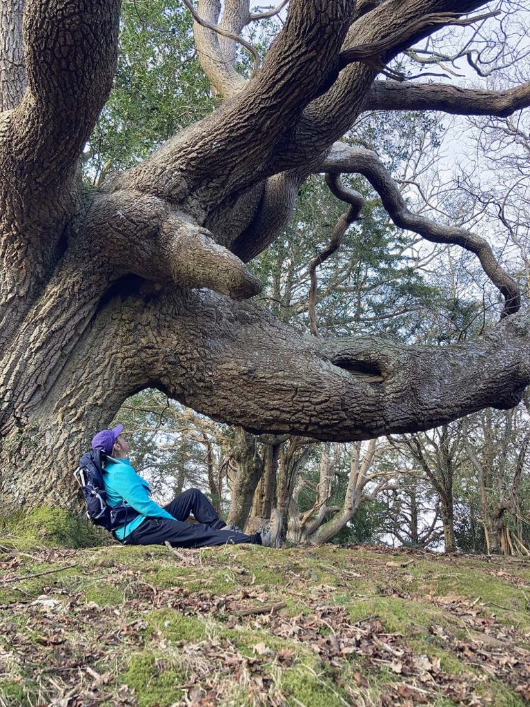
There’s also a favourite old oak tree of mine to find. It’s known as the Elephant Oak and this hike takes you past it near Sloden Inclosure and the site of a Royal Hunting Lodge. The New Forest has possibly the highest concentration of ancient trees in Europe and although this pollarded oak is described as ‘Veteran’ rather than ‘Ancient’ on the Tree Register it’s still magnificent and a very tranquil, secluded spot to visit. Grid Reference SU 20875 12427. If you are interested in WW2 history, this area was the Ashley Walk Bombing Range testing out bombs of various sizes onto various targets.
Car Parking at Abbotswell and Fritham. Royal Oak Pub at Fritham. The Foresters Arms Pub at Frogham.

By Sue Barrett
Meet OS Champion, Sue Barrett – Trail Runner, Cyclist, Hiker, Adventure Queen, Teacher turned Tour Guide