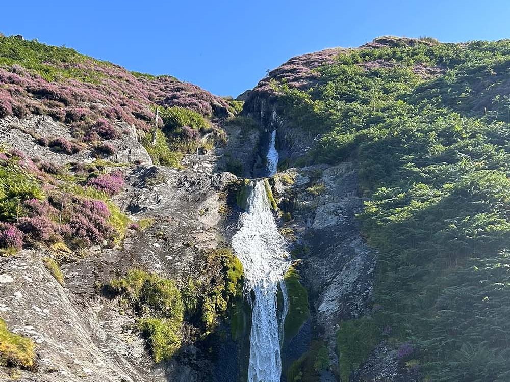
Short Walks in Eryri for Beginner Hikers
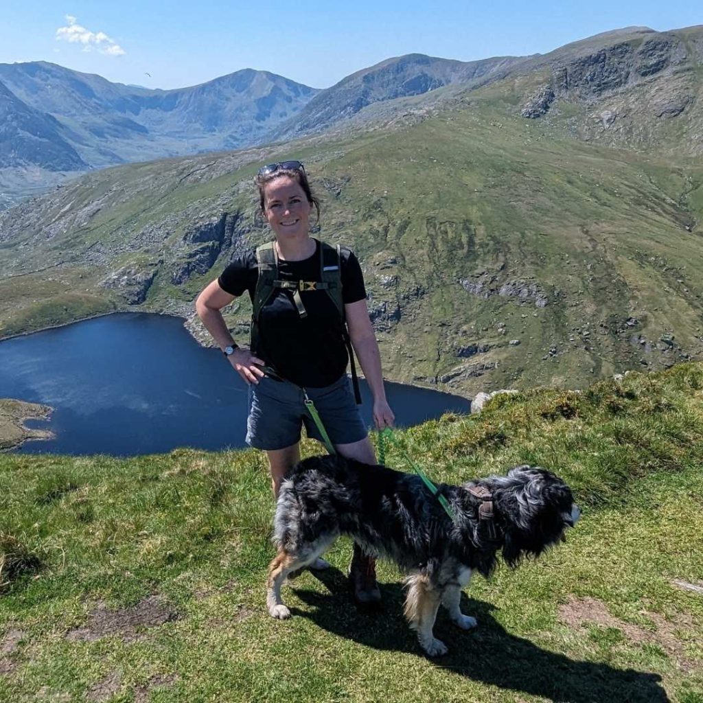
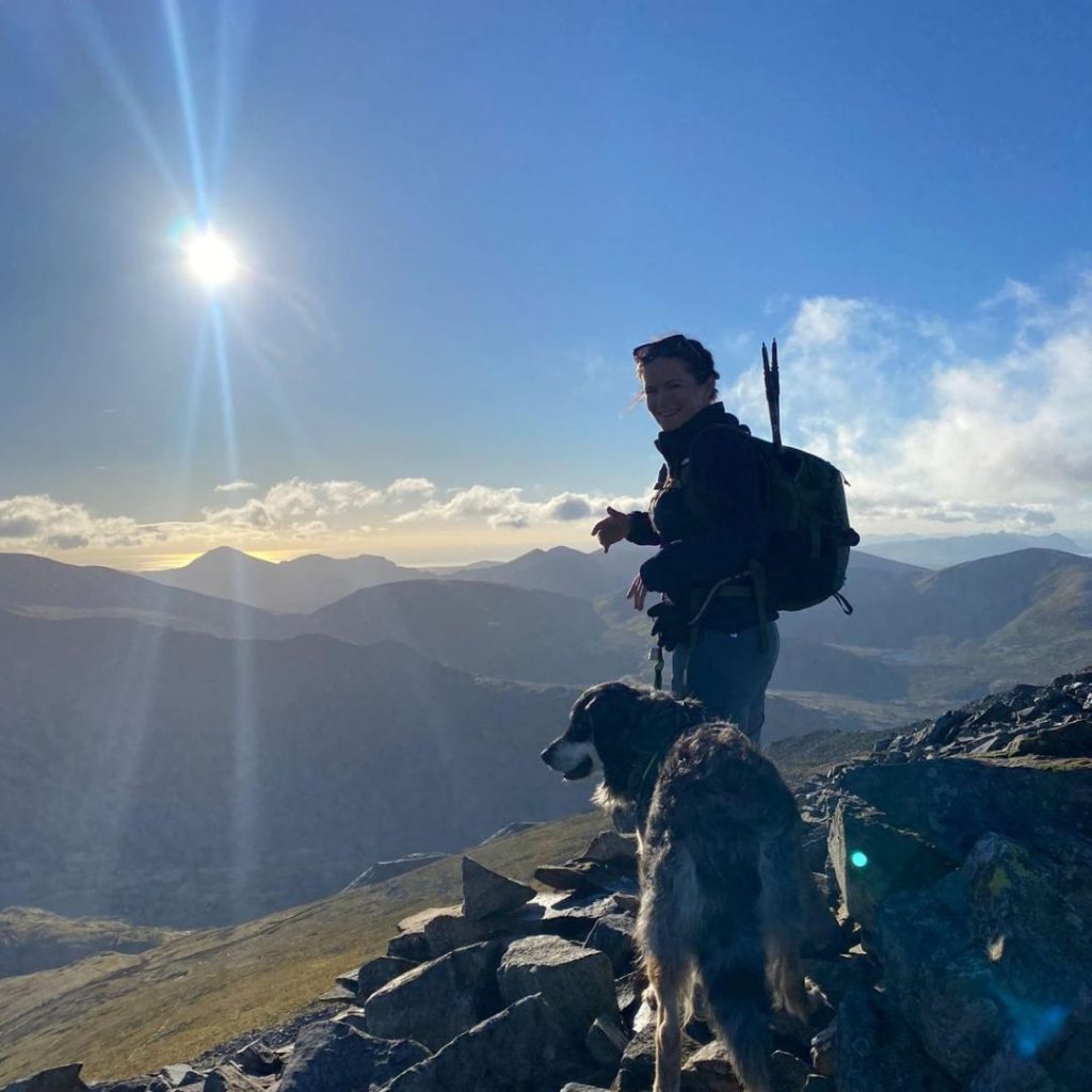
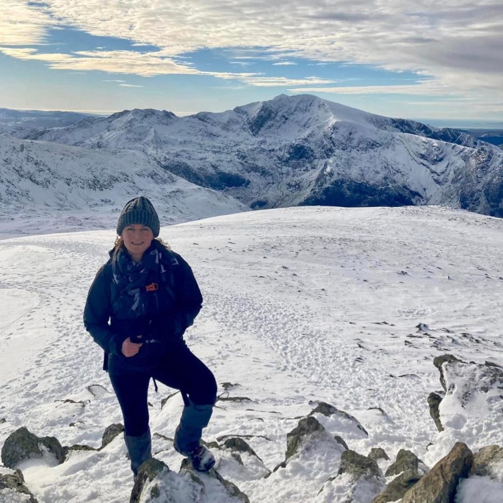
Are you looking for some beginner hikes in Eryri (Snowdonia) to try this year? In this post I’ve collected together some easy routes that are perfect for beginners and your first hike in Eryri. These routes have all the great views but are much less challenging than many of the well known peaks in the area. I’m based in North Wales and regularly explore the amazing scenery this UK National Park has to offer and many of these routes are favourites that I have walked multiple times.
(all images credits @nearlyuphill)
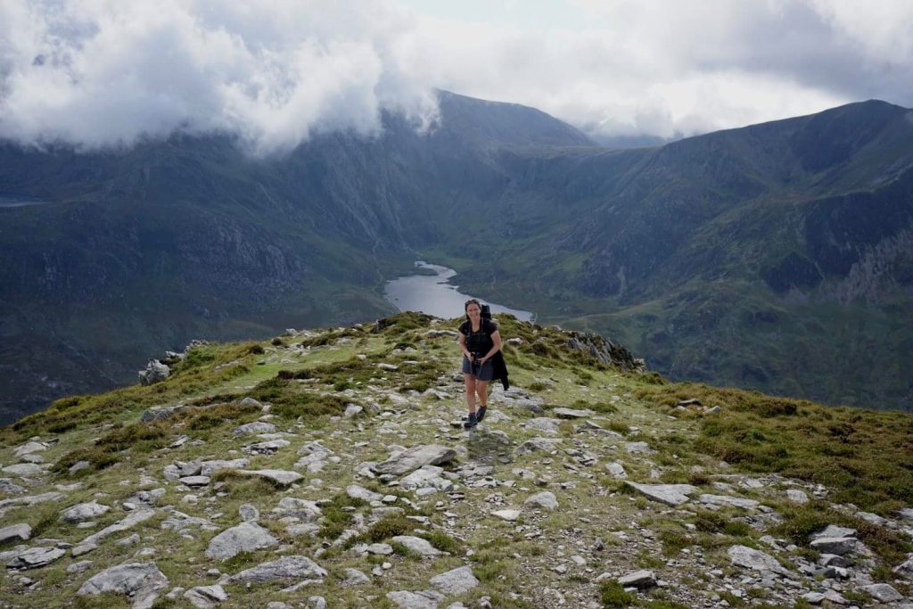
Where to start in Eryri (Snowdonia)?
As a beginner, before you set your sites on Yr Wyddfa (the highest peak in Eryri) or some of the famous big 3000 ft mountains (there are some beauties!), I suggest you read our Beginners Guide to Hiking, it has everything you need to know about hiking safety and fitness before you get out into the hills and mountains of the UK. Mountain Rescue regularly get called out to help people who have overestimated their ability, not done the right planning or not taken the right kit.
If you are new to Hiking it’s best to start small and work your way up to the big full day hikes. You would never run a marathon without testing if you could do a 5k first. You want to test your kit (especially your footwear) and see how your body deals with the ascent and descent before you commit to a long all day hike.
PLAN & PREPARE!
You would never run a marathon without testing if you could do a 5k first! Mountains in the UK can be dangerous, be sure you’re ready!
Beginner Walks in Snowdonia
I’ve chosen the following routes because they are all under 3 hours with a clear path on the ground. It’s important you check the weather conditions which can change very easily in Eryri, especially as you gain height. Never rely entirely on the app on your phone to navigate. Each of these routes will teach you something new about hiking and every hike under your belt gives you the confidence to try longer and more challenging routes.
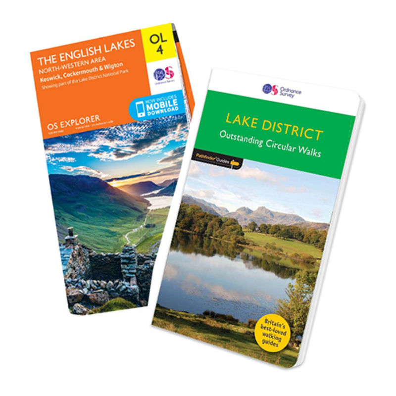
Take a printed out or buy an OS Paper Map of the Eryri Snowdonia area. Revise the route before you start and look out for key milestones, such as forks in the path, buildings or streams that you will cross. Ticking these off as you go will really help with your confidence as you navigate the path and if you’re a beginner you’re sure to learn a few new map symbols.
Eryri Hikes for Beginners
Each of the following routes links to a full route on OS Maps. For details on how to use OS Maps look here – OS Maps User Guide
Cwm Idwal Loop
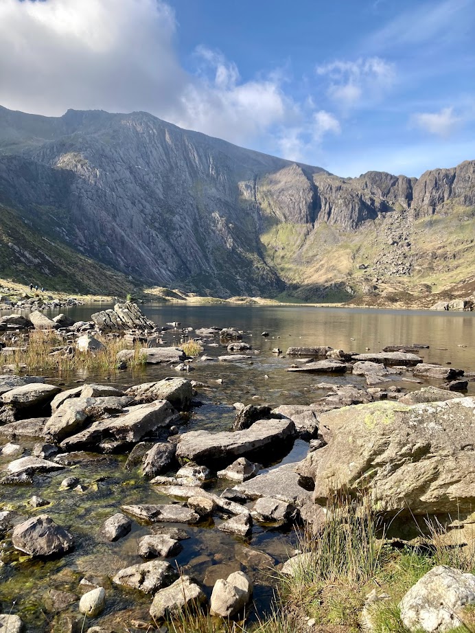
This is a really great introduction to Eryri. This route is a simple loop on a very well engineered path that becomes a little more uneven and narrow as you approach the back of the lake. It’s one of the most beautiful lakes in the UK. You can choose to take a lower, easier route, a middle route (the route linked to) or even see if you feel brave enough to take a closer look inside the ‘Devil’s Kitchen’.
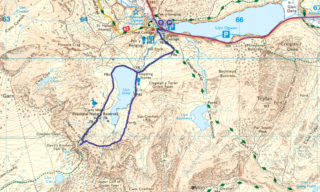
Cwm Idwal is often the start of more challenging walks up into the high Glyderau. You’ll probably also spot some climbers heading up the famous Idwal slabs or up the Idwal staircase – definitely not for beginner hikers!. Towards the rear of the lake you will reach a fork. The lower path is easier and less slippy underfoot, the higher path has a very pretty bridge – great for a photo opportunity!
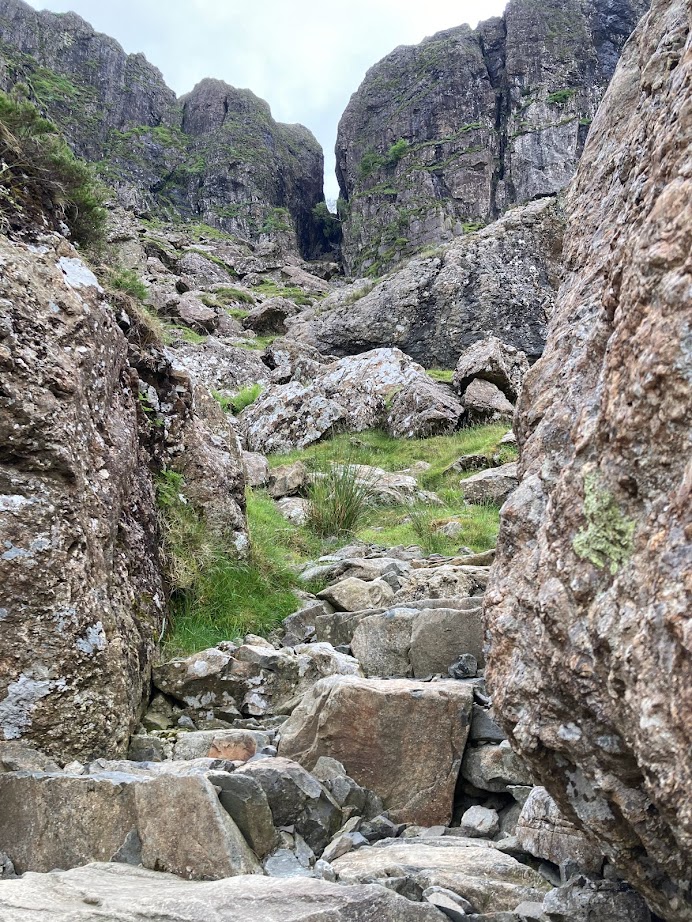
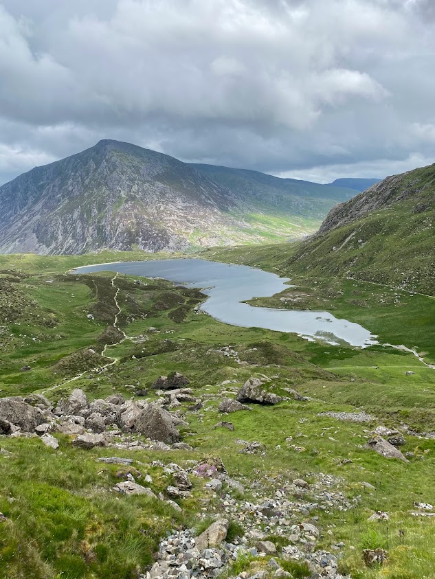
If you feel adventurous and the weather is clear and dry you could test out a very small scrambly section that goes up past Twll Du (Devil’s Kitchen) There are some big rock steps to climb up, a great way to test how you feel about gaining height on uneven surfaces with a bit of height. Just go as high as you feel comfortable with (remembering you will need to come down the same way!) If you do get to the top you’ll find one of the most iconic views in Eryri as you look back to Pen Yr Ole Wen and across Llyn Idwal.
🚶♂️5.2km
⏱️ 1.5hrs
🗺️ OS Explorer OL17
🥾 Technicality – Moderate
🔓Practice for walking on uneven rocky/slippery paths
Crimpiau
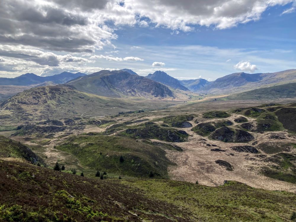
This is one of my all time favourite little peaks in Eryri. It’s small enough that it can be walked up if you just have a few hours to spare and starts from well known Capel Curig. The views from the top are spectacular as you can see from the image above. I did a navigation course a few years ago and this was the hill we climbed, it’s a really good taster of walking on uneven steep terrain with a few boggy areas too.
If you love this small peak and you’re interested in exploring this area see my extended route. The Crafnant Circular – be warned this route is not for you if you are new to navigating but definitely one to come back to when you get experienced as it’s a really peaceful walk.
🚶♂️7.9km
⏱️ 3hrs
🗺️ OS Explorer OL17
🥾 Technicality – Moderate
🔓Practice steep inclines on narrow footpaths
Foel Lus & Meini Hirion (The Druids Circle)
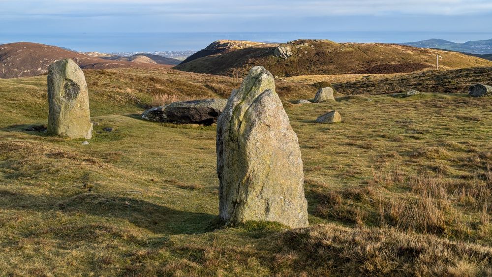
This is a great beginner walk that is just off the busy A55 which most people drive along to reach the mountains of Eryri. It would make for a great pit stop to stretch your legs and these northern hills in the Carneddau are often overlooked. This route has absolutely stunning views of the North Wales coast and also has an ancient stone circle to take in. You’ll often find Carneddau ponies roaming freely in this area too.
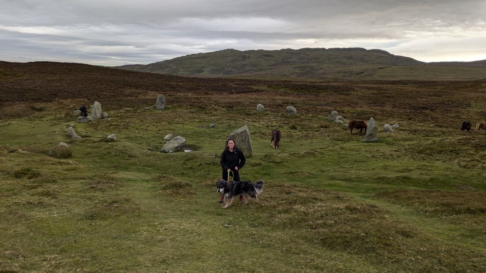
🚶♂️6.8km
⏱️ 2.5hrs
🗺️ OS Explorer OL17
🥾 Technicality – Easy/Moderate
🔓Practice navigating a circular route
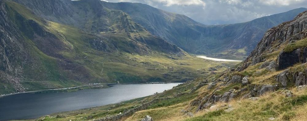
Ffynnon Lloer
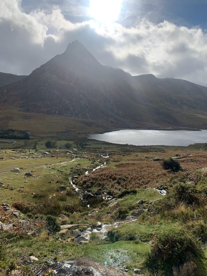
On the opposite side of the valley from the Cwm Idwal walk is another short walk up to a pretty lake. If you enjoy a cold water swim it’s a beautiful and usually fairly quiet spot, perfect for a picnic.

This path is a little more challenging and will give you a taste of a steep path, that crosses back and forth across a stream. The ground is boggy in places (great for testing new boots and gaitors!) and the path can be a little more tricky to find. Try this walk on a clear day and use your navigation skills to make sure you are the right side of the stream. If you do lose the path you can always retrace your steps back to where it was clear. There are no big dangers here if you do veer off the path other than getting wet feet. You’re likely to spot Carneddau ponies on this side of Ogwen Valley too.
🚶♂️3.7km
⏱️ 2hrs
🗺️ OS Explorer OL17
🥾 Technicality – Moderate
🔓Practice walking in boggy areas
Dinorwig Quarry Walk
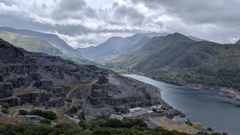
This walk is absolutely fascinating, a real journey through time as it winds it’s way through the old Dinorwig quarry works and past old quarry men’s houses. I’ve chosen this walk as it’s really easy to navigate but offers unbelievable views as you look back at Yr Wyddfa.
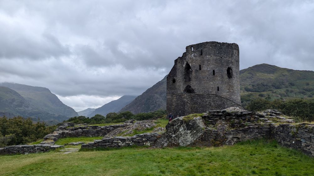
There is a fairly flat road section to make the route circular, so if you didn’t want to do that you could simply reverse the route and then once you reach the viewpoint walk back the same way.
🚶♂️8km
⏱️ 2.5hrs
🗺️ OS Explorer OL17
🥾 Technicality – Moderate
🔓Practice steep inclines

Am I fit enough to walk up Yr Wyddfa (Snowdon)?
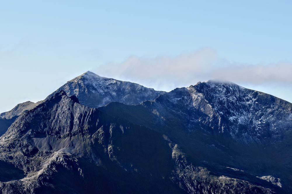
You may have seen Instagram posts with people scampering across the vertigo-inducing knife edge of Crib Goch, however Yr Wyddfa has routes that are far more suited to beginners who want to take in the spectacular views. On a day with plenty of daylight hours and good visibility then it’s a straight forward walk up from Llanberis, but it’s a long and steep walk and even the easier routes should not be underestimated if you are a beginner hiker and not used to walking up or down hills.
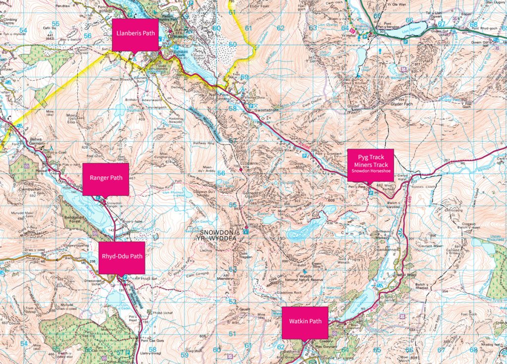
It is a long day’s hike but with plenty of daylight and the right weather conditions you can take it at your own pace. 1000’s of people hike up Yr Wyddfa every week and for many it is their first experience of a mountain. If you have your sights set on this beautiful mountain, do as much preparation and planning as possible to ensure you wont become another statistic for mountain rescue.
More Challenging Routes in Eryri (Snowdonia)
Once you have assessed how you feel about hiking you can then start to progress onto some longer and more challenging routes. There are many less popular routes in Eryri than Yr Wyddfa, pretty much all of which will have no summit queues, but equally stunning views. You can find loads of great walks in North Wales on my website all of which link through to an OS Map Route. Here are a few advanced routes you could try once you feel comfortable with your own abilities in navigation and stamina.
See More Eryri National Park (Snowdonia) Articles

Yr Wyddfa (Snowdon): Routes to the top
There are many routes to the top of Snowdon (in Welsh ‘Yr Wyddfa’) with some big paths that can get crowded and some lesser-trodden trails. Here’s all you need to know about the routes up Snowdon.
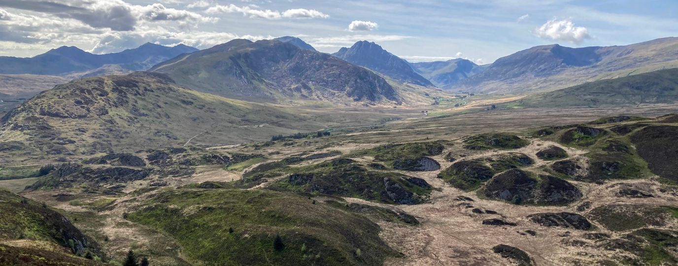
Best Beginner Hikes in Eryri (Snowdonia)
Beginner hikes in Eryri! Hilary Pullen, North Walian and Editor of Get Outside has picked some great beginner hikes to try in Snowdonia!
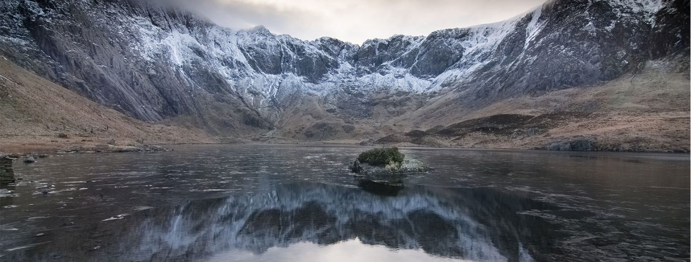
Eryri National Park (Snowdonia)
Peaks, paths and lakes for great walks, climbs and fishing.
By Hilary Pullen
Meet Hilary, Editor of Get Outside – the Ordnance Survey Blog. Hilary is based in North Wales and loves hiking with her dogs in the mountains of Eryri and Bryniau Clwyd, you can find her on Instagram @nearlyuphill and read her guides to walking in North Wales on her blog. Drop her an email hilary.pullen@os.uk if you are interested in posting an article on Get Outside.
