The Lawley is part of the Shropshire Hills range in an area of outstanding natural beauty. The Lawley is one of the smaller hills, standing next to its big brother, Caer Caradoc. It’s an interesting walk, as along the ridge there are remains of an ancient settlement and hill fort.
SO 50567 99065
We’ve climbed the Lawley a few times over the years in different seasons, with magnificent views of the Shropshire countryside and beyond. It’s a walk not to be missed.
With our new four-legged member of the family, Tink, who had far too much energy on a Sunday afternoon, we headed up the Lawley to tire her out!
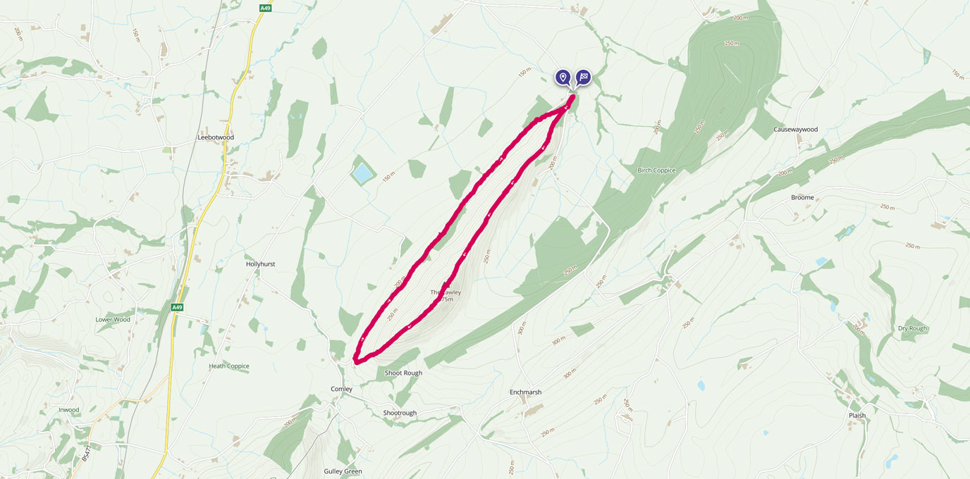
From the small car park, we followed a muddy tree-lined path.

After a short distance, we got above the tree line and began our ascent up the hill along the ridge.
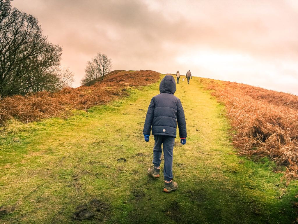
It’s a relatively steady ascent with a clearly defined path.
With our youngest kid’s little legs, we took it at a leisurely pace, pausing every so often to catch our breath and admire the view. Don’t forget to look out for the ancient settlements. It must have been a bleak place to live!
The hill is very exposed so it can get very windy as you ascend. It is best to be prepared for all weathers!

Tom thought he was flying on the hill, much to his delight!
We carried on ascending the hill passing a telephone radio mast but don’t be fooled this is not the summit. From here you can see the summit in the distance marked by a weather vane with a crow on top. On reaching the weather vane, it was to time to celebrate our achievement with an obligatory selfie and a brief moment to enjoy the beautiful all around views of the Shropshire countryside and beyond.
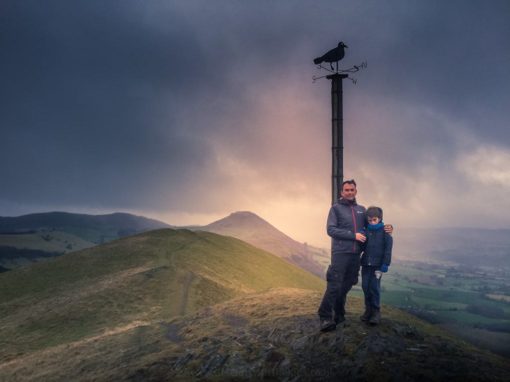
After reaching the top, we then carried on the path descending the other side of the hill. In places, it was quite a steep descent down to the bottom of the hill but not too difficult. Tom handled this with no problem and with plenty of speed!
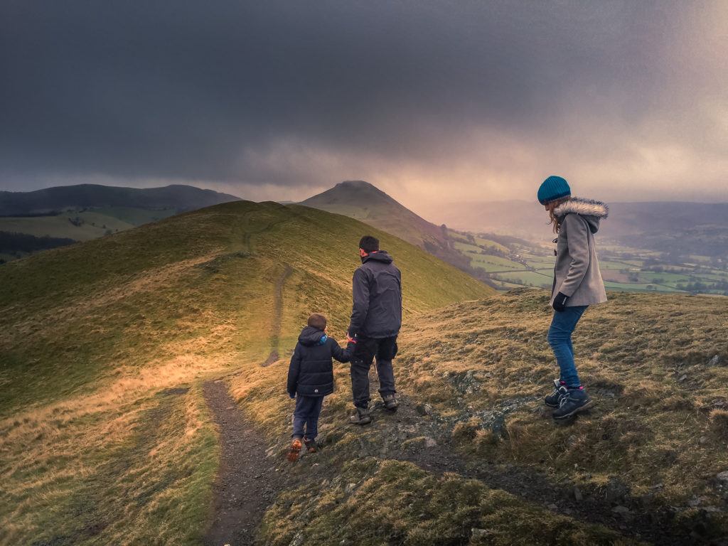
Once we reached the bottom of the hill, we took the track to the right and continued along the path. The track is flat and offers a more sheltered route than walking back along the ridge.
Now this track was very very muddy at the time of our walk so be aware! Tink changed colour, and we went slipping and sliding in the mud!
Towards the end of the track, we reached a house and then a cattle grid. We took the path on the right before the grid, which led us back to the car park. Time to clean up and head home feeling refreshed and content.
If you fancy a walk to a weather vane with fabulous views, then give this walk a go!
