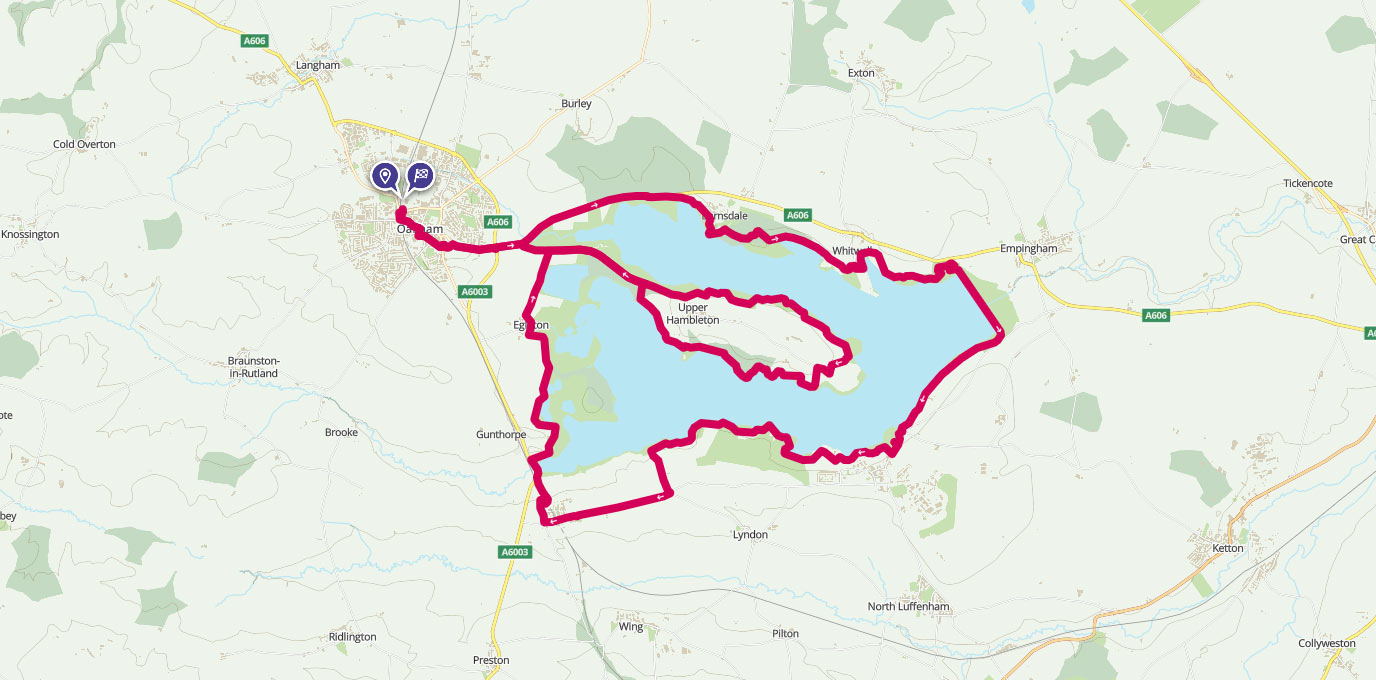
Rutland might be England’s smallest county but it’s motto of ‘much in little’ certainly holds true. Lovely scenery, plenty of wildlife, and great cycling are all on offer during this relaxing ride around Rutland Water.
You can easily ride shorter sections if you feel like an easier ride, or maybe a quick summer’s evening pedal. There’s bike hire available at both Whitwell and Normanton, and several car parks around the reservoir. You can make this a car-free day out by taking a train to Oakham or Stamford, both nice towns to visit.
SK 85711 09049
Cycling route: 41km (From Oakham Station). Moderate. Some short steep climbs and descents.
Parking: There are four main car parks around Rutland Water; Barnsdale, Whitwell, Normanton and Sykes Lane. Bike hire is available at Barnsdale or Normanton if you’re not bringing your own wheels. Electric bikes are also available. Find out more from Rutland Water visitor information.
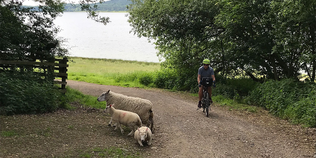
Sharing the trail at Rutland Water
With an unexpected free Saturday and a little bit of sunshine peeking out we looked at the map and pondered where we might cycle that day. We’ve got a few favourite local routes, but sometimes it’s nice to have a change. Like all good explorers, we packed a couple of bananas and some cheese in our handlebar bags and cycled to Leicester station for the train to Oakham.
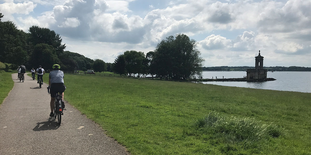
Normanton Church
It was a bit of a squeeze in the bike carriage (no reservations can be made on this route) but half an hour later we were buying fresh bread, cakes and sausage rolls from a bakery and browsing Oakham’s Saturday market. There’s a few minutes of clearly signed road riding before the cycle route begins – from that point it’s almost all off-road for the loop of the reservoir. Where the route goes does go onto the road it is always well-marked and low-trafficked.
We opted to head along the north shore first, thinking we would do the Hambleton peninsula section later if we had time, and followed a series of trails through wooded areas and sheep fields. Every so often we popped out in car park, which needed a bit more care, but usually offered comfort breaks, benches and refreshments if required. We took up a bench east of the inflatables with a view across to Normanton Church to construct our cheese sandwiches and enjoy a break from the saddle.
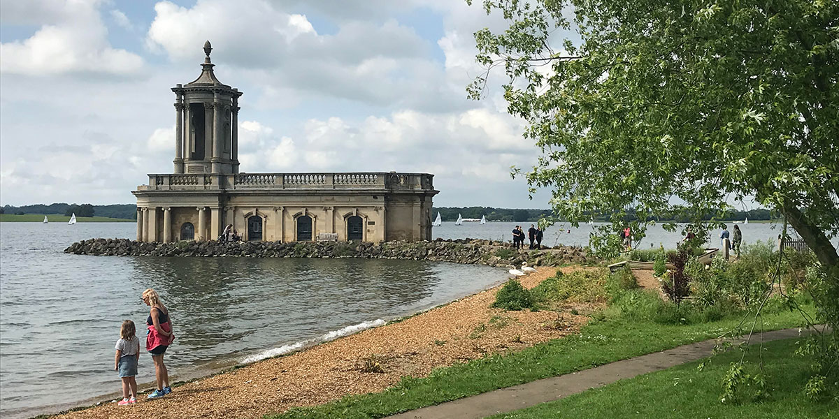
Normanton Church
SK 93254 06269
Riding along the eastern edge of the trail afforded brilliant views and brought us closer to the spectacular Normanton Church. There was also an ice cream van (noted for future visits, we were full of sandwiches at this point).
Continuing along the south shore it was great to see plenty of other people out enjoying the trail. There were families, mountain bikers, people trying out electric bikes and many walkers sharing the trail sensibly, holding the gates open for each other and generally having a good time.
There are some short steep hills on the route so it wasn’t a surprise to see a few people pushing their bikes for twenty metres or so to get up them. There were also a number of signs advising cyclists to dismount before some steeper downhills and to cross cattlegrids. This probably depends on the experience of the rider – caution advised cycling over cattlegrids if it is wet or if you are going very slowly uphill!
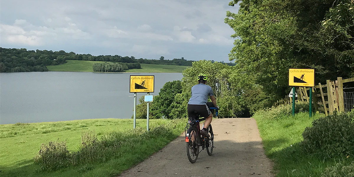
Steep descents
SK 90230 07878
The further you ride from any of the car parks the more trail users are spread out, so there were sections that were very uncrowded indeed. There was also plenty of wildlife to spot – lots of birds, rabbits and even a snake curled up on some tarmac for a warm snooze.
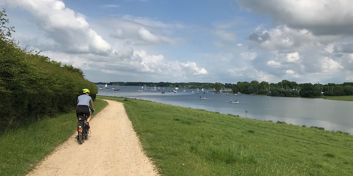
Lots to look at from the trail
SK 92913 05663
We were having such a good time that when we got back to the turn of for the extra peninsula ride we decided to take it and were very pleased we did because (shhhh!) it was the best bit. There were a few very steep sections and a lot of sheep, but lovely views.
Next time I’ll be doing that bit first, and that is one of the great things about this ride. You can choose your start point from several car parks/train stations/villages, you can choose how far to ride – a short out and back, a loop of the reservoir, a longer day ride including some local villages (NCN 63 is great) and you have plenty of options for rests and refreshments. Happy cycling!
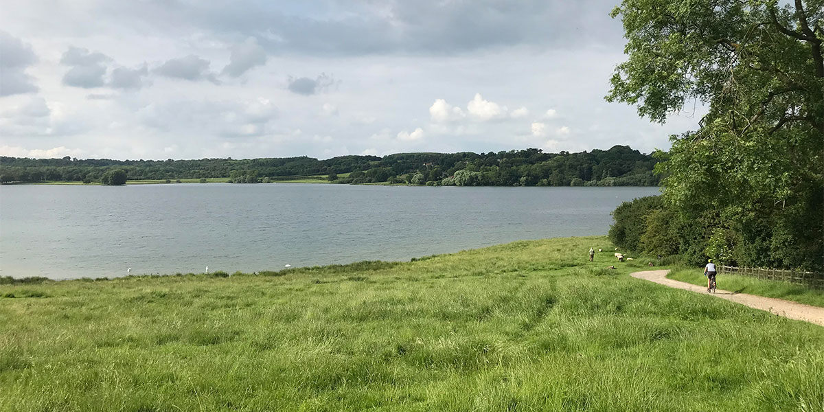
The Hambleton Peninsula
