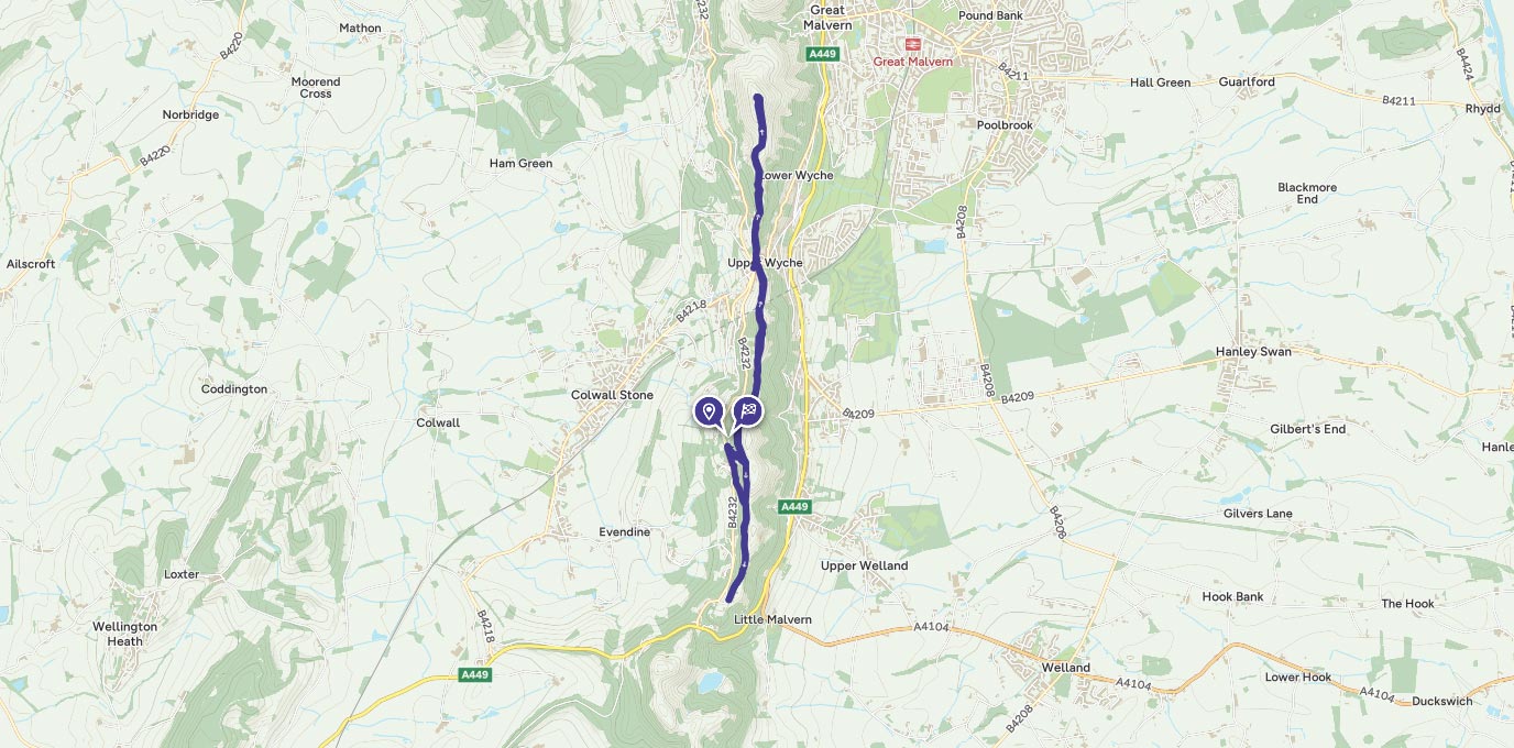
April 2016 is the 80th anniversary of the trig pillar. To mark the occasion Dan Grant walks to the highest trig pillar in Worcestershire on The Malvern Hills.
SO 766 420
Elgar died in 1934, shortly before OS started the retriangulation of Britain, so he would never have seen the triangulation pillar on the Worcestershire Beacon. However, the hills are a conservation area, protected by an 1884 Act of parliament, so if he walked the hills today he would probably find little else has changed.
The Malverns are a granite range of hills in the Midlands forming a ridgeline between the counties of Hereford and Worcestershire. The ridgeline runs North/South for approximately seven miles and at just ¾ mile at its widest point it is very easy to navigate making it an ideal area for those new to map reading.
The triangulation pillar marks the highest point of the Malvern Hills on the top of the Worcestershire Beacon, which can be accessed from the multiple car parks around the hills. If you don’t drive, the hills are served by three stations at Malvern Link, Great Malvern and Colwall. With so many options I would encourage you to grab a map and plan a suitable walk around your travel. For example, if you arrive by train you could alight at Colwall, walk up onto the Hills and then head north along the ridgeline passing the trig pillar and the stunning 360 degrees from the Worcestershire Beacon, before heading down into Malvern where you can enjoy the shops and cafés before boarding the train home.
For my walk I chose to start from Gardiners Car park on the western side of the hills (SO 766 420) and headed up the steep zigzag path, to the right of the ticket machine, towards the top of the ridge line. There is a shallower gradient path to the left if you think this may be too steep for you. At the top of the zigzag path turn left onto the main ridge path, its from here that you can start to admire the views over Herefordshire to the west. Follow the path to the north along the side of Pinnacle Hill and up onto Jubilee Hill, offering views across Worcestershire to the east.
2.1 km
From Jubilee Hill, continue North and head down towards the Wyche Cutting and the B4218. Carefully cross the road and then go up Beacon Road (signed posted to the Beacon Car Park). Follow the tarmac path at the top of the car park back up onto the Hills and continue on past the “Gold Mine” way marker towards the Beacon. Gold Mining on the hills has been attempted several times in the past, unfortunately none were successful.
3.5 km
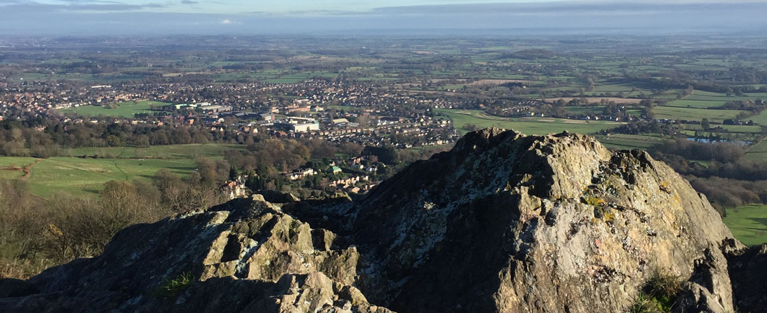
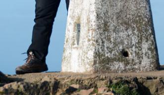
As you round the top of Summer Hill you are rewarded with the initial views out over Great Malvern and beyond, from here it’s a short steep walk up to the summit of the Beacon and the Trig Pillar.
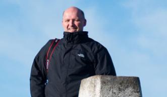
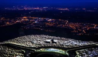
The tarmac footpath from the Beacon Car Park to the summit makes the trig pillar easily accessible at all times. I can regularly be found running this section to either catch the sunrise or sunset over the Hills from the Trig. Even after the sun has set there is still a view to admire as the lights of Great Malvern and Worcester come on. If you do go up in the dark make sure that you have a head torch and spare batteries, but most importantly tell someone you are going and the route you are taking – even better download and complete the OS Walking Route Safety Card and leave it with a contact.
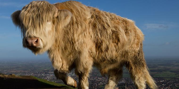
It’s from here that you retrace your steps back to the start. Along the way keep an eye out for the livestock that openly roam the hills.
7.5 km
At this point you are back at the top of the zigzag path, from here you can either return to the car or like me continue along the ridgeline until you reach Jubilee Car Park. From the car park head back north following the contours of the hills on the lower paths to the left of the ridgeline. This will lead you back to the start at Gardiners Car Park.
10 km SO 766 420
10 km / 6 miles