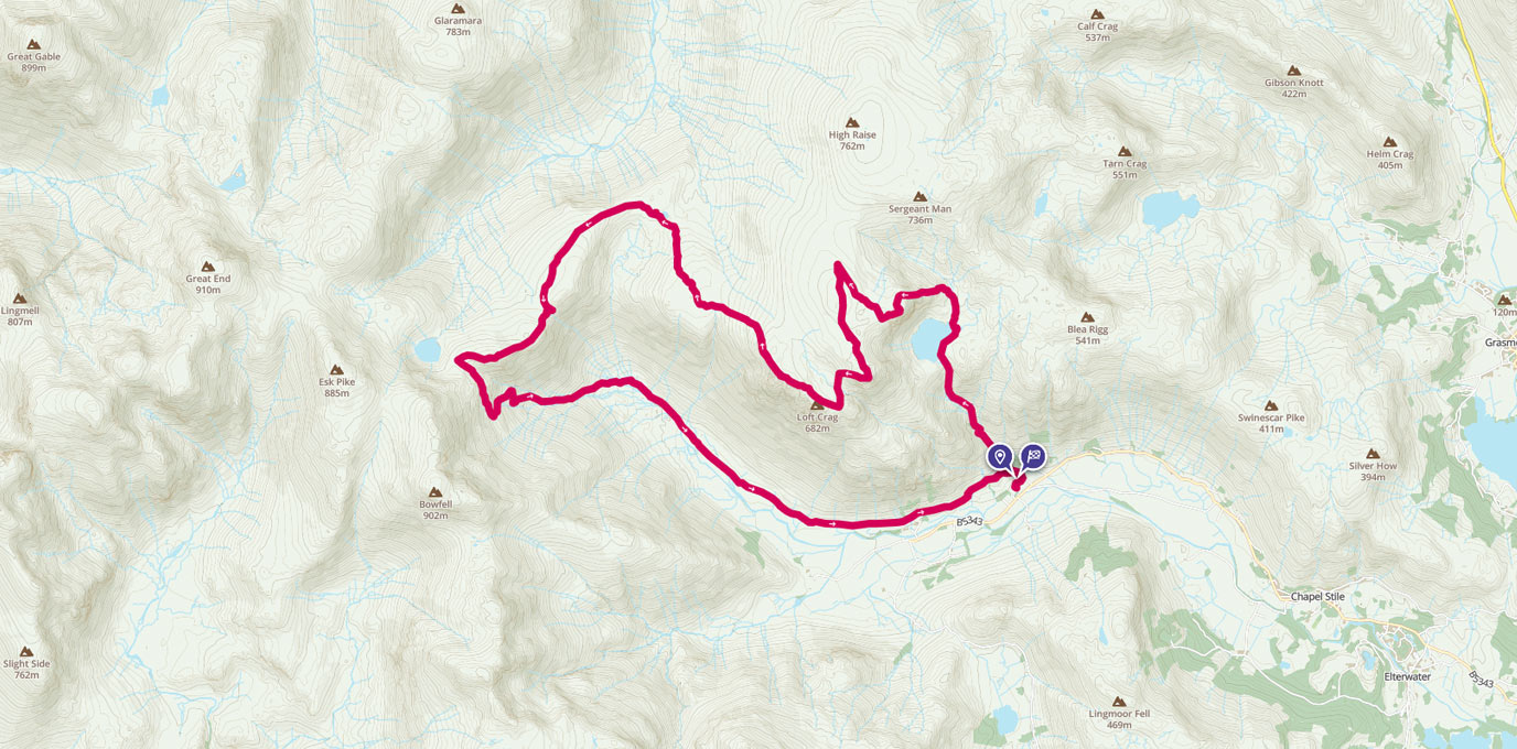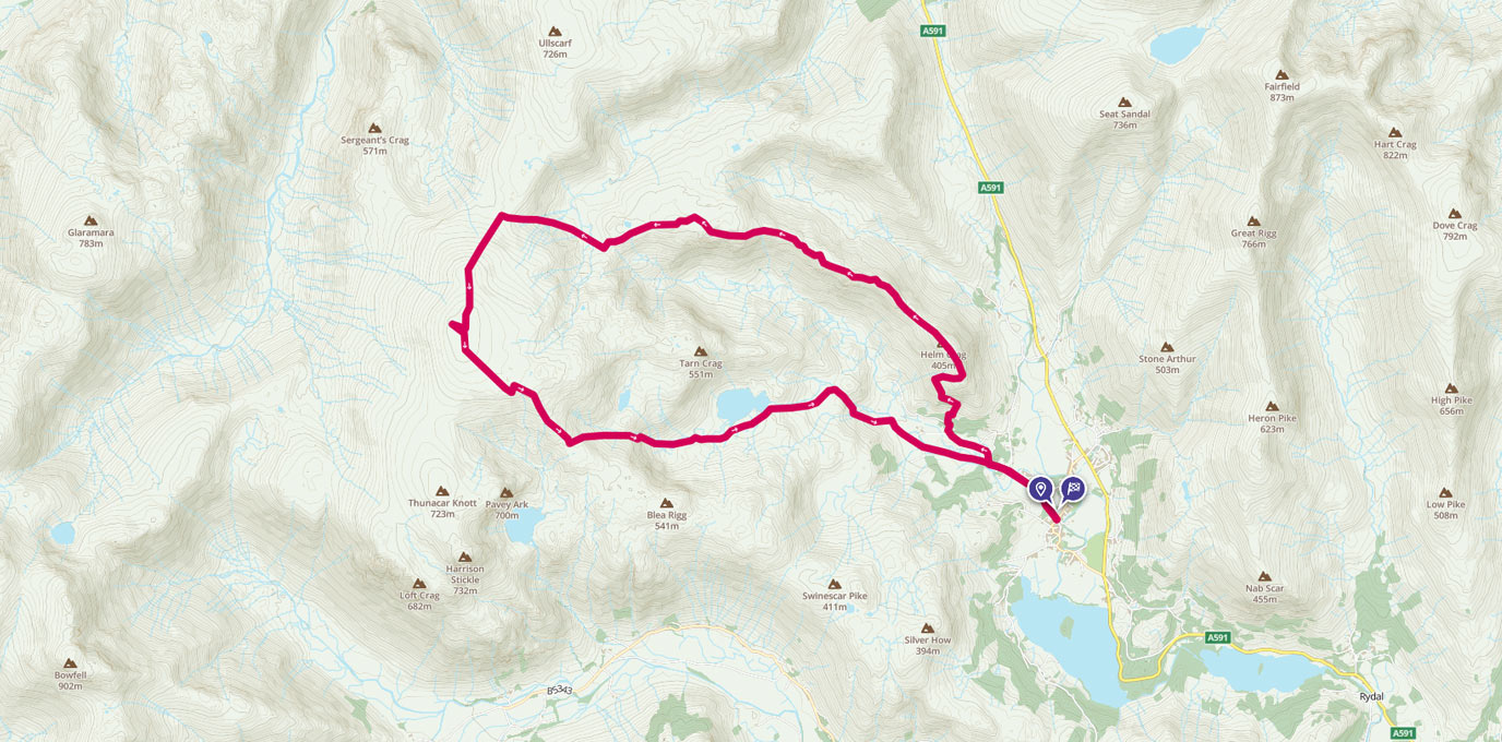
A walk from Grasmere up to the High Raise summit and trig pillar, the highest point in the Central Fells with commanding views of the whole Lake District.
NY 336 076
I undertook a variation of this walk while staying in the Lake District in October. I was competing in a big inter club orienteering race on the Sunday morning near Kendal and wanted to make the most of the weekend. The main requirements for this walk were ease of accessibility using public transport and to experience a proper Lake District day out. I woke early and got the bus from Kendal to Grasmere (the 555 continues to Keswick).
Getting off in Grasmere, I stocked up on some lunch, snacks and pork pies at the local shop before heading up past Grasmere Youth Hostel (possible accommodation, see the YHA website for info) to the fells. After a steady walk up Easedale Road, there is a steep ascent onto Helm Crag (half of the major ascent done in one go). Stop to admire the views back South over Grasmere and the wide valley.
NY 327 093
From Helm Crag, there is a lovely ridge walk heading NW. Follow the small marked path or explore the undulating ridge as you gradually gain height towards High Raise. This ridge was the highlight for me, not many people were out so I could and take in the views. Keep heading roughly west towards Greenup Edge where you will meet a wall and path heading SW up towards the summit.
NY 281 095
At the summit, there is a cairn and one of the OS trig pillars nearby. Enjoy the view and sense of satisfaction of reaching the top. Take some pictures and grab some food before heading down. Maybe tweet about your walk and include the #GetOutside and #TrigPillar80 hashtags. It would be great to hear about your mini adventures and whether you enjoyed the walk.
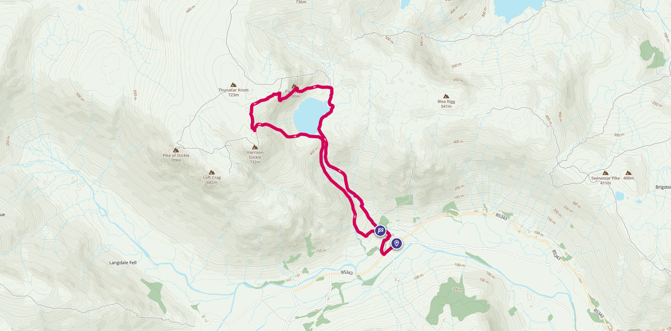
I would recommend heading down via Sergeant Man and Easedale Tarn but you could increase the length of the walk by taking in the Langdale Pikes further to the south. When I was up in October, the weather was good and I was enjoying myself so I extended the walk and caught the return bus further down the valley. I love to do linear walks that feel like you are going on a journey, so walking roughly along the bus route allowed me to do this. This walk is planned as a circular walk with a small bit of ground covered twice (the road back into Grasmere).
NY 310 087
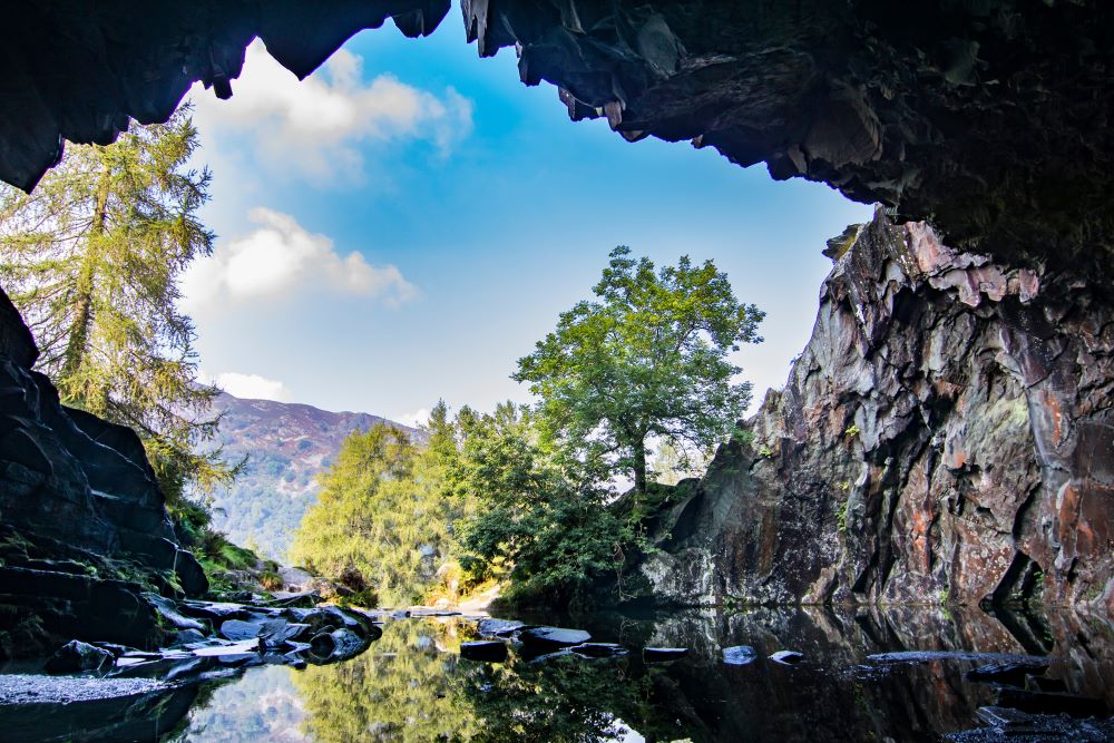
The descent back down is steep so be careful and watch where you are going. The route could be attempted in reverse for those who prefer a longer more gradual descent. On the way down, maybe stop for another tea or coffee break by Easedale Tarn. Make sure you remember fresh milk though, you wouldn’t want to drink from the Sour Milk Gill! Return to the bus stop, car park or your accommodation in Grasmere. Why not pop into one of the cafes or the pub for a rewarding end of day treat?
15.7 km NY 336 076
16 km / 10 miles