Exploring Rydal Cave: A Hidden Gem in the Lake District
Rydal Cave, in the picturesque Lake District National Park, is a must-visit for nature enthusiasts and adventurers alike. This stunning natural attraction offers breathtaking views over Rydal Water and a unique glimpse into the area’s geological history. Whether you’re planning a short scenic walk or a day of exploration, Rydal Cave has something for everyone. We have answered some of your questions about visiting Rydal Cave below along with a great Rydal Cave Circular Route from Rory Southworth.
Frequently Asked Questions About Rydal Cave
How long is the Rydal Cave walk? The walk to Rydal Cave from the nearest car parks (Pelter Bridge or White Moss) is about 1 mile and takes less than an hour, including time to explore the cave.
Is Rydal Cave worth visiting? Absolutely! Rydal Cave offers stunning views over Rydal Water and is a unique natural attraction. It’s a great spot for a short, scenic walk.
Are the Rydal Caves free? Yes, visiting Rydal Cave is free of charge.
Where do you park to get to Rydal Cave? The closest parking options are Pelter Bridge Car Park and White Moss Car Park. Pelter Bridge is smaller and cheaper, while White Moss is larger but slightly more expensive.
How many caves are at Rydal Caves? There is one main cave at Rydal, which was formed from slate quarrying over 200 years ago.
What is the shortest walk to Rydal Cave? The shortest walk is from Pelter Bridge Car Park, which is about a mile away.
Can I get to Rydal Caves on a bus? Yes, you can access Rydal Cave via public transport. The 599 bus from Ambleside stops near the cave.
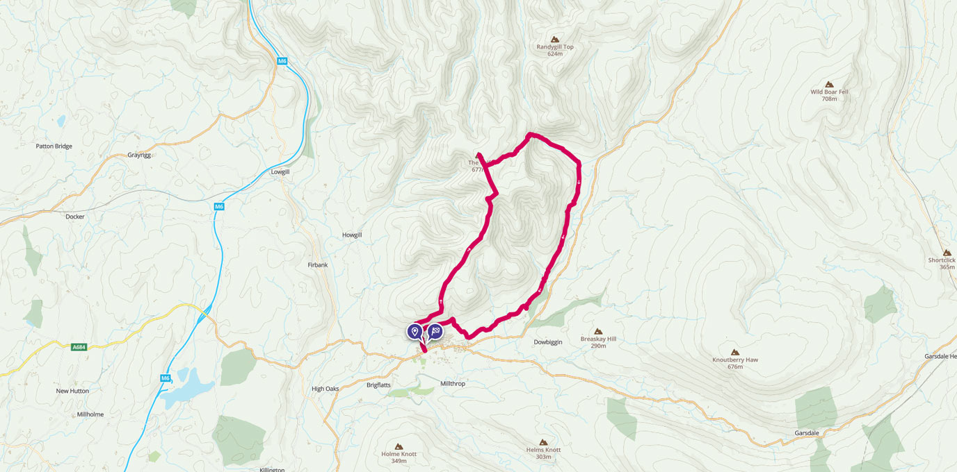
Detailed Route Map for Rydal Cave Circular Walk or Run
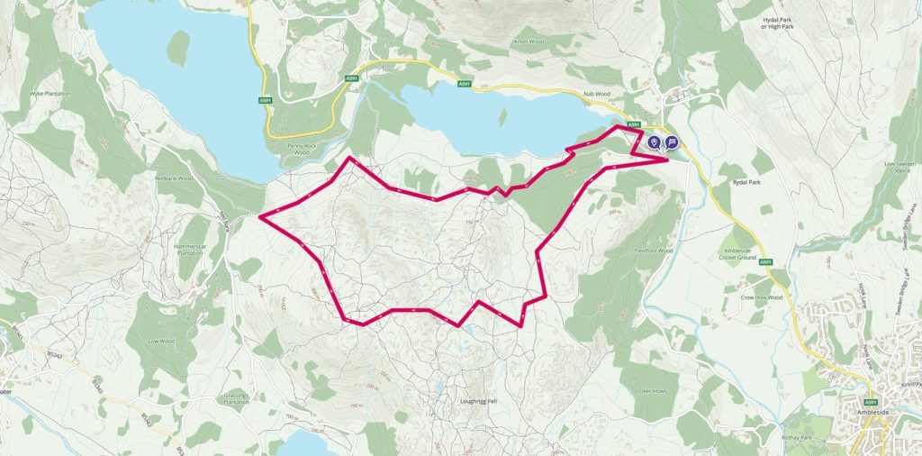
OS Champion Rory Southworth takes us on a leisurely 6.2km route.
NY 3646 0599
Situated so close to the road and offering classic picturesque Lakeland views it is a great place to visit for a short walk on your way to Grasmere to visit the Internationally known Grasmere Gingerbread shop.
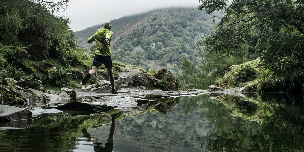
From the Pelter Bridge Car Park head west keeping the wall on your right hand until you reach a wood about 200m from the car park. Take the footpath heading down hill north bound into the wood until you reach a bridge spanning over the River Rothay.
From here head west along the Rydal Water shore and through the woods until you reach a gate. After you go through the gate, head up the hill to the upper Permissive Bridleway path. Following this path west will lead you past the first of the Caves. Slightly hidden off the immediate track and a short scramble up a few meter rock face.
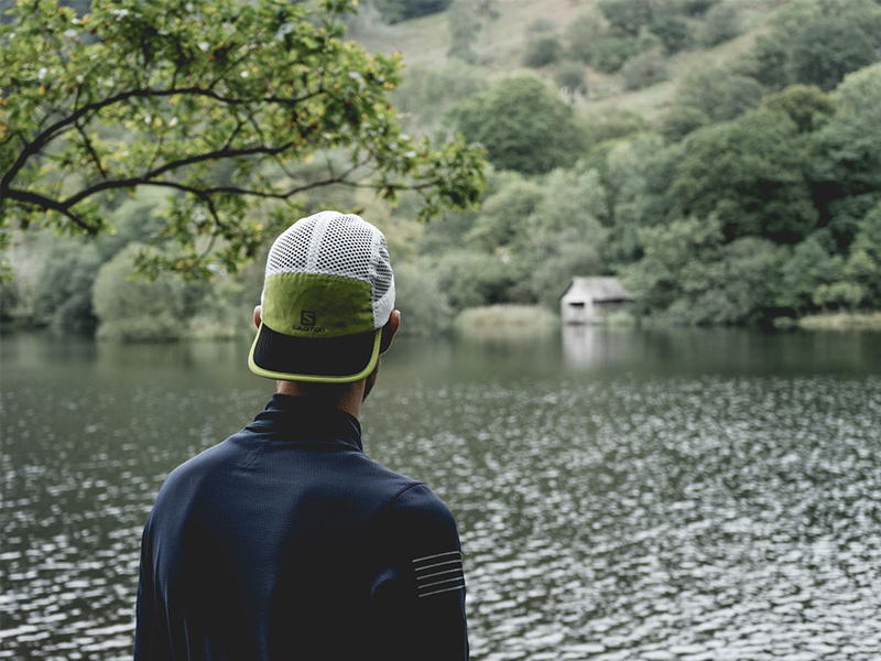
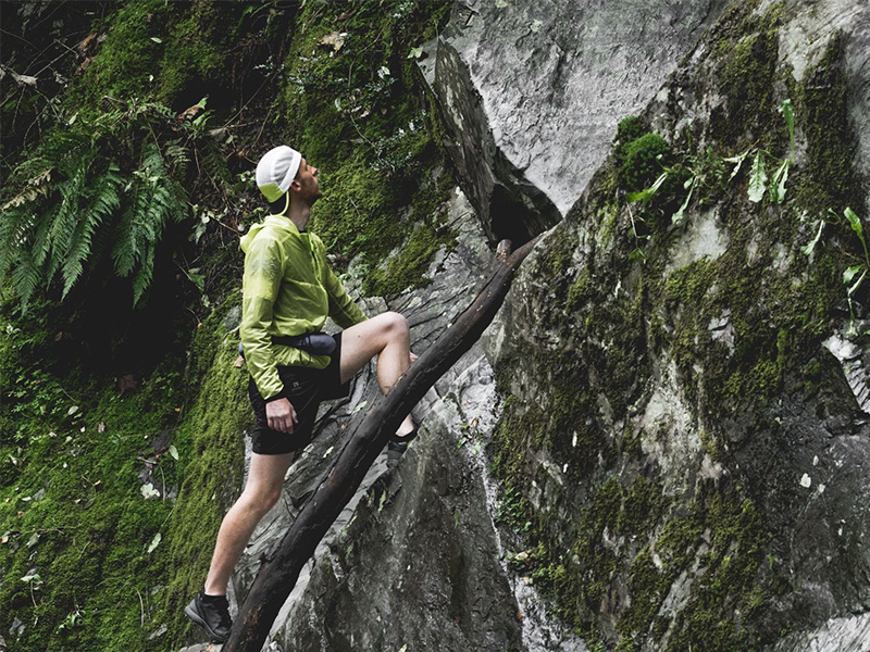
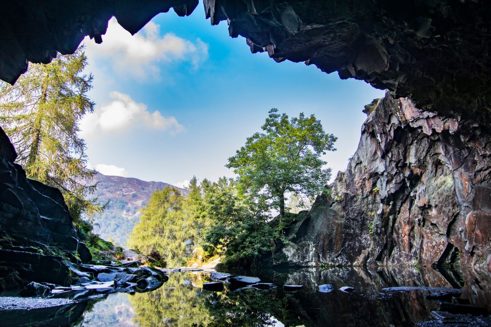
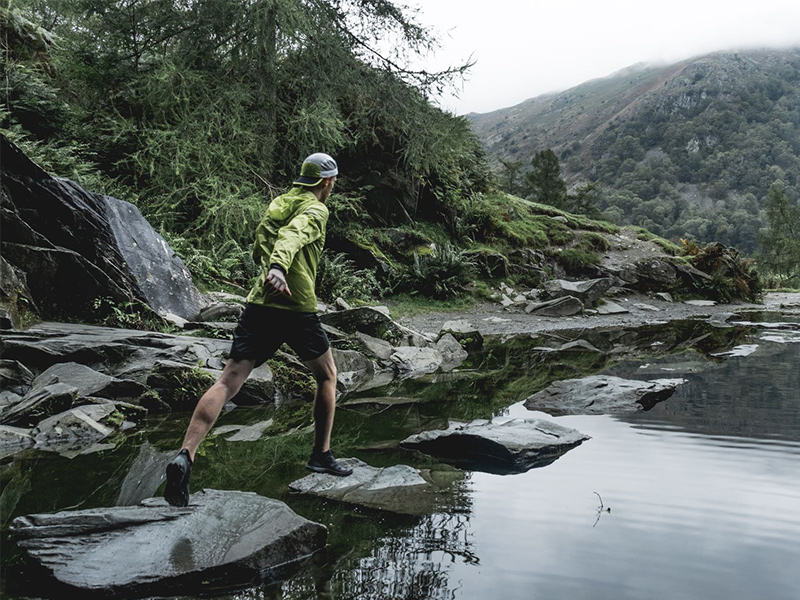
Leaving the initial cave situation off the path and behind a small rocky mound, continue along the path heading west until your reach an opening leading to Rydal Cave, identifiable from the stepping stones allowing you to explore the inside of the cave. If you look carefully you can spot the shoals of fish that live in the water that leads into the cave.
To enter the cave you can either take the stepping stones, however often these can be slightly submerged and actually sticking to the right hand of the cave and scrambling over the rocks can be the driest way in and out of the cave.
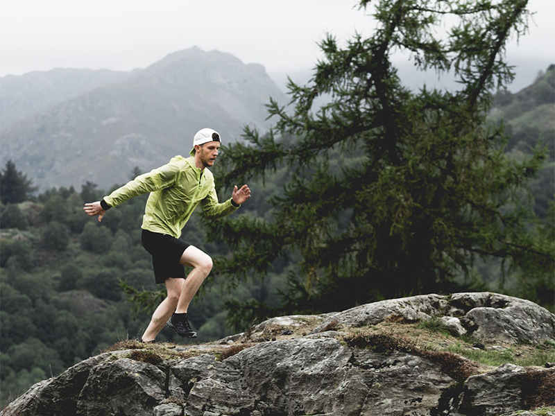
As you head back out of the cave rejoin the main Permissive Bridleway path heading west, keeping Rydal water on your right side. By traversing the north side of Loughrigg Fell you will meet the Loughrigg Terrace Bridleway, head southeast on it until there is a footpath to the left that leads back up the hill and on to the summit.
At 355 meters it may not be one of the classic mountain peaks of the Lake District, but it does provide great views of Rydal Water, Grasmere, Loughrigg Tarn and Windermere.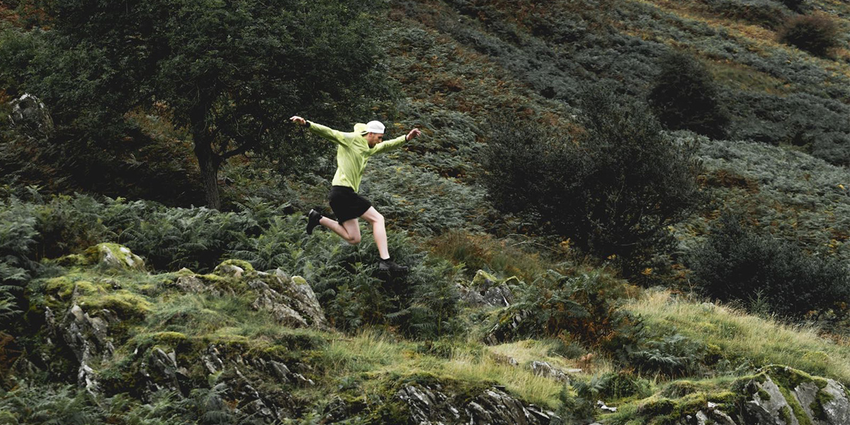
Head east from the summit, taking the paths that weave through the undulating ground, past Scarturfs and back towards the direction of the car park. Slowly descending towards the stream at NY 3564 0504.
As the paths meet at the stream take the left (northbound) path downhill back towards the woods. This path walks along the outside of the wooded area with a wall on your left side. Following this path leads back to the car park.
6.2K NY 3646 0599
6.2 km / 4 miles
