James Forrest explores the very best of the Langdale Pikes in a long – but glorious – day of hiking.
NY 294 063
If for, whatever reason, you only had one day to experience the Langdale Pikes, this is the walk you should go on.
The so-called Greater Traverse – which I first discovered in Bill Birkett’s iconic Complete Lakeland Fells – is a bit of an epic, ticking off several summits and notching up a leg-burning 10.7 miles and more than 1,000m of ascent. The route follows Stickle Ghyll to Stickle Tarn and then veers right for the easy eastern shoulder up Pavey Ark.
The excellent tops of Harrison Stickle and Pike O’Stickle are reached before a lengthy loop home via Rossett Pike and Mickleden valley.
START
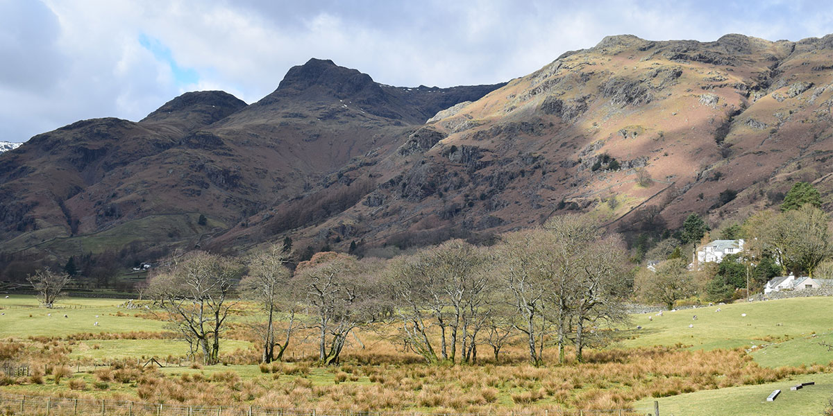
Views of the Langdale Pikes on drive to start of walk
From the National Trust’s Stickle Ghyll car park, next to Sticklebarn pub, head north-west following the stream. Climb steadily, cross the footbridge and continue upwards on the northern side of the ghyll on a well-defined path.
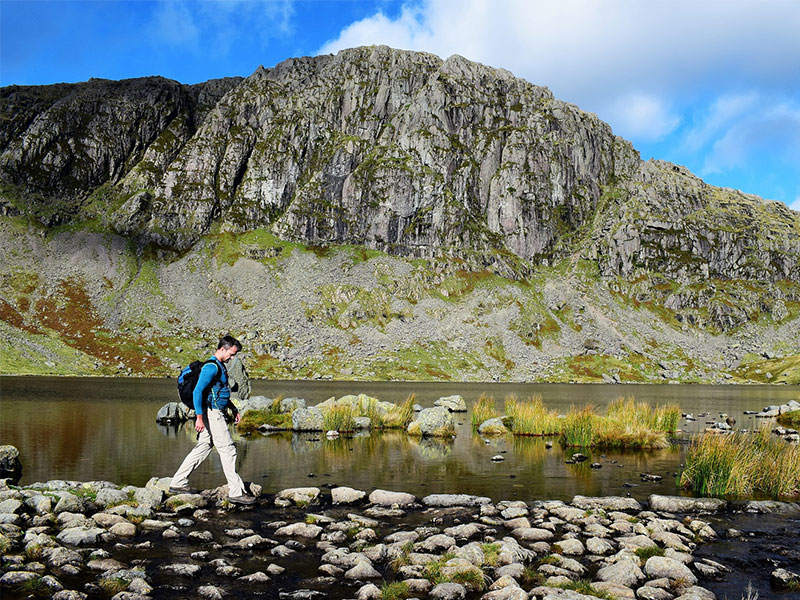
At the tarn, take a well-deserved break and gaze across the water at the imposing, rugged mass of Pavey Ark – one of the most inspiring views in all Lakeland. Keep an eye out for intrepid souls struggling up Jack’s Rake, a famous scrambling route which cuts diagonally through the cliffs to the summit.
2.1km
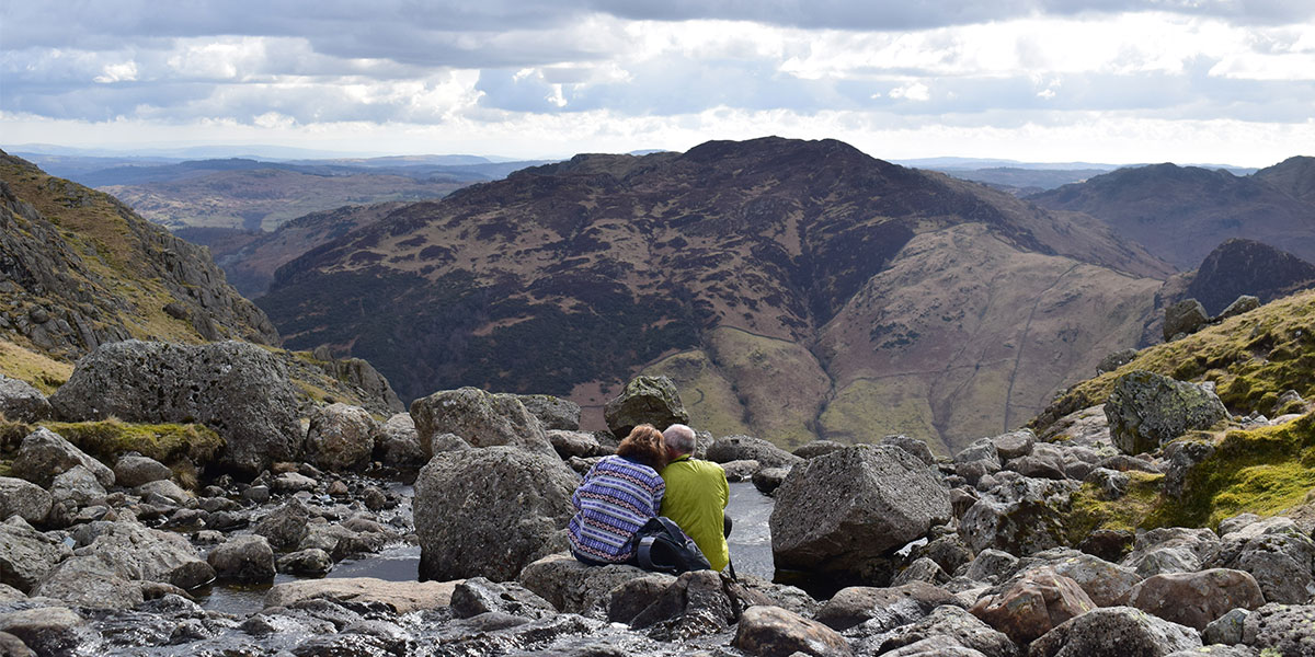
Two hikers enjoy a break at Stickle Tarn
Use the stepping stones to cross Stickle Ghyll and follow the clear path on the eastern shores of the tarn for 300m. Trudge through a boggy section at the eastern extremity of the tarn and then continue north for 150m.
Turn left for a rocky and steep – but relatively easy – ascent of Pavey Ark’s eastern shoulder, before looping south and crossing a little wall on the left to reach the summit.
3.42km
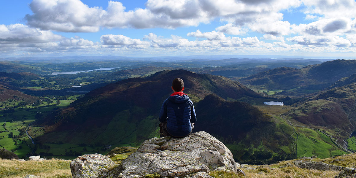
Enjoying the views
Choose any of the numerous tracks (official or otherwise) which head north-west to Thunacar Knott. It is easy going and you should reach the summit in about 15 minutes.
A small tarn to the north of the top offers a quiet spot away from the Langdale Pikes crowds for a drink or snack break.
4.12km
Retrace your steps towards Pavey Ark and head south on the main path to Harrison Stickle.
Don’t forget to enjoy the views down to Stickle Tarn on your left before completing the short climb to the Harrison Stickle cairn. At 736m this is the highest point of the Langdale Pikes.
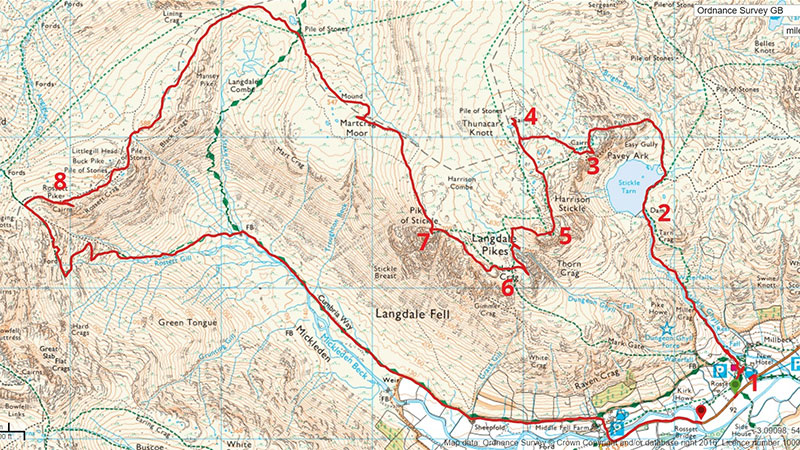
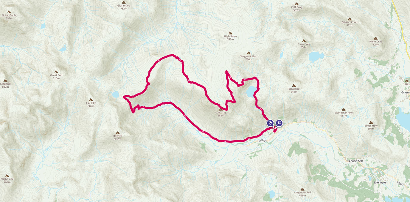
Greater Langdale Traverse map
5.02km
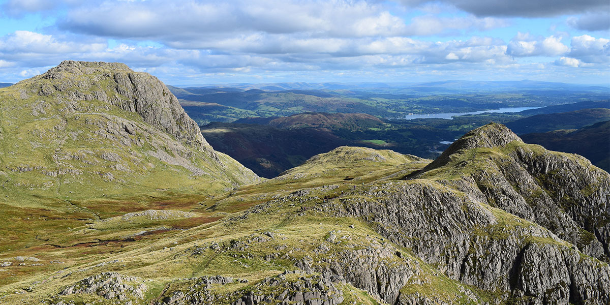
Looking out over Harrison Stickle (L) and Loft Crag (R)
Descend westwards on a steep, rocky path into the hollow between Harrison Stickle and Pike O’Stickle. Head south and cross a stream before looping on an easy path to the top of Loft Crag.
This peak is an ideal platform from which to ogle the rugged, rocky cone of Pike O’Stickle’s summit.
6.22km
Looking to Pavey Ark’s cliffs from Stickle Tarn
Continue north-west for 500m before a short, steep ascent (including some easy scrambling) to the 709m top.
Look back towards Loft Crag and watch climbers edge their way up Gimmer Crag – one of Lakeland’s top, and most exposed, climbing spots.
6.72km
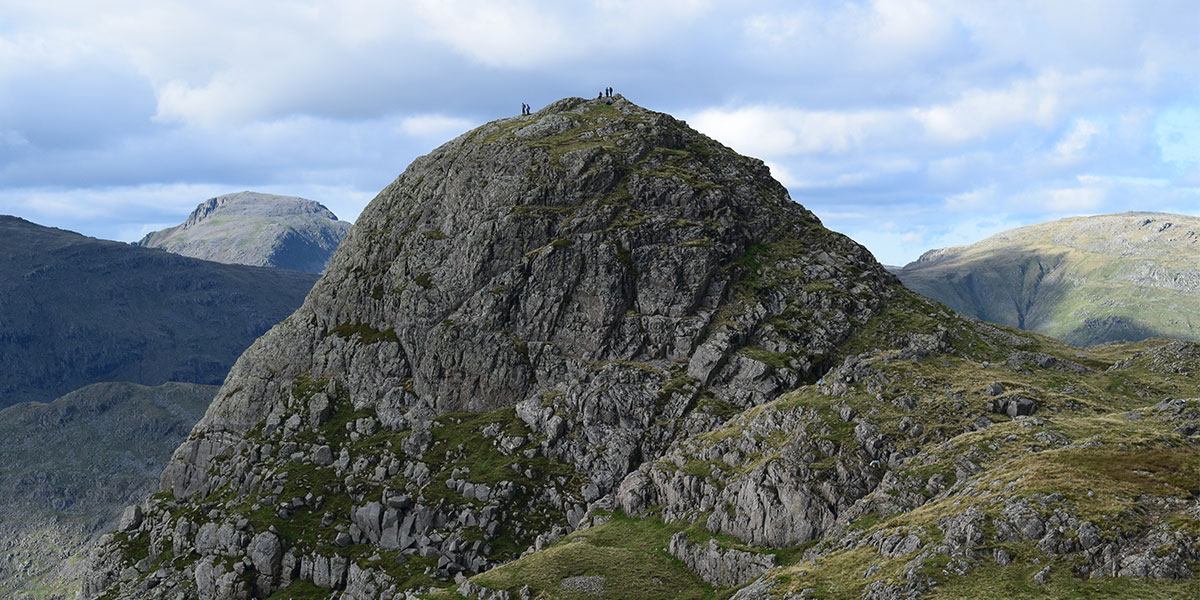
Pike O’Stickle
Head north-west across Martcrag Moor – expect boggy and wet conditions underfoot – before swinging west and then south to the small ridge.
Make your way to the summits of Black Crags and Buck Pike and press on west, ascending a further 50m to the cairn of Rossett Pike, the final peak of the day.
11.1km
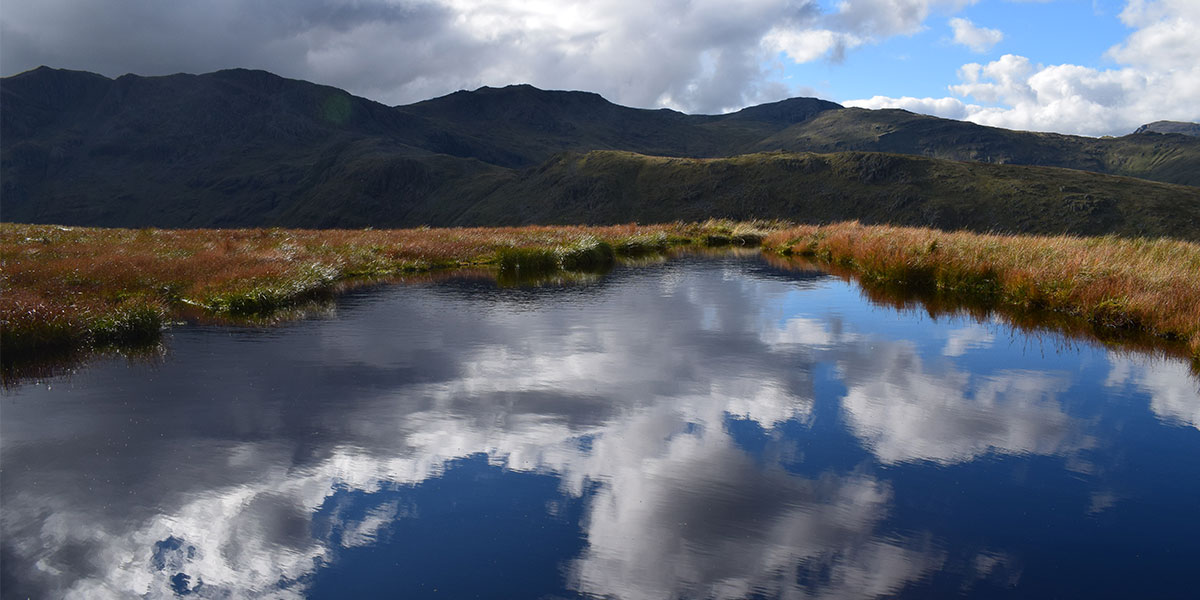
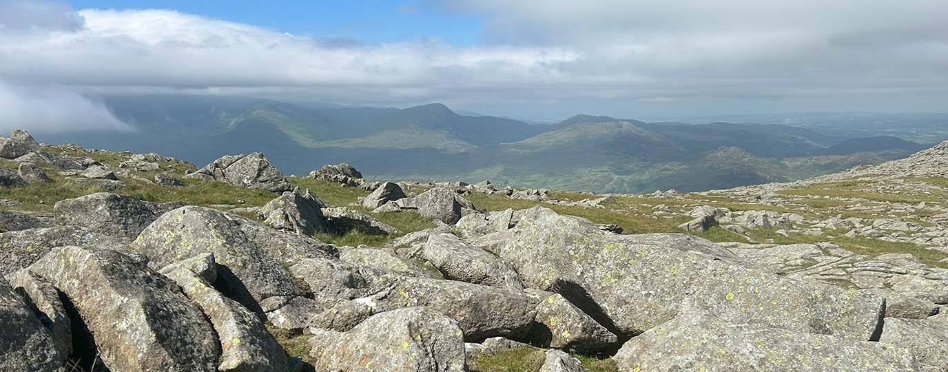
View from tarn by Thunacar Knott
Continue west to the col before picking up the zig-zagging, downhill path east that hugs Rossett Gill and then the main Cumbria Way route that follows Mickleden Beck south-east back to the valley.
17.2km NY 294 063
17.2 km / 11 miles