Hiking Safety at Night
As the days get shorter it’s important to take extra precautions when getting outside, especially when hiking in the mountains or on remote hillsides and moorland. Mountain Rescue share their expert advice for staying safe in the dark.
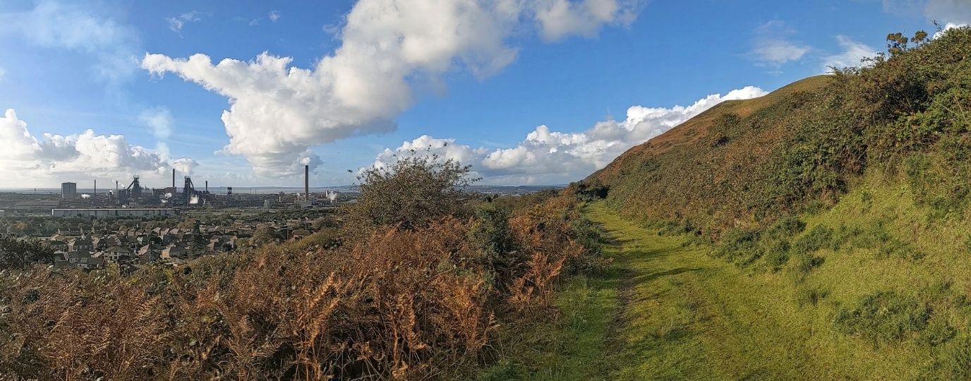
Hikers should be preparing for shorter days in the hills and mountains
At 2am on the last Sunday in October, the clocks go back by an hour across the UK and British Summer Time ends. We get an extra hour in bed (or an extra hour to party), a lighter Sunday morning and, of course, an earlier sunset on Sunday afternoon.
Several years ago, Mountain Rescue Awareness Day moved from the late May bank holiday to the first Sunday of Greenwich Mean Time (GMT) in autumn. There was no particular significance to the May date but changing to the first Sunday of GMT is good timing for seasonal and topical safety advice.
What does being ‘benighted’ mean?
Being benighted means being overtaken by darkness without preparation, an alternative less literal meaning is to be naïve and unaware of your environment.
Mountain Rescue teams across the country are regularly called out to benighted families and groups around this time of year. For a start, it’s usually the final weekend of half term and often seems like the last weekend of autumn before winter really begins. But people also often forget that the day will seem shorter and it’ll be much darker than they’re used to by about 5pm – even earlier if the weather is bad.
A reminder about this aspect of the clocks change seems a useful thing to do – and it’s also an opportunity to share more detailed safety advice about everything from carrying a torch to reading a map in winter conditions.
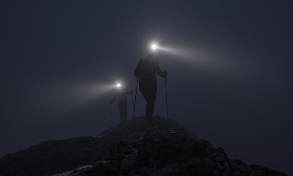
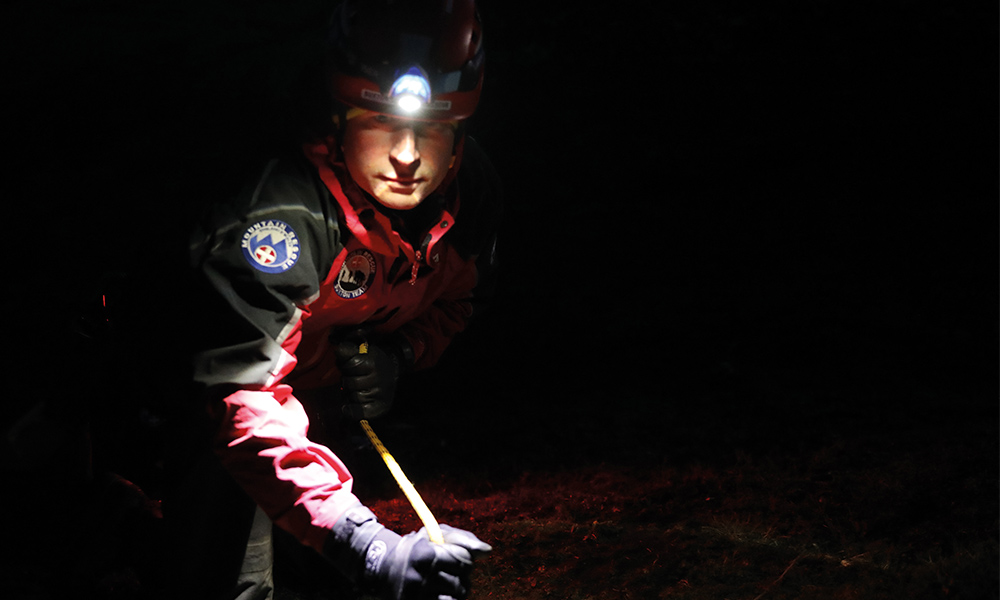
Countryside dark can be really dark
If you’re used to getting outside in a city location, it can come as a shock to realise just how dark it can be in the countryside. At the same time of day, it may be twilight in the city but head into a rural forest and find yourself in complete darkness. This certainly has its benefits and on a clear starlit or moonlit night you’ll have a fantastic view of the night sky. But many people do get caught out so, if you’re heading into the countryside close to sunset, it’s best to bring a torch. In cloudy or miserable weather, visibility can be almost zero and walking in the dark can be really dangerous.
Winter Kit List for Hikers
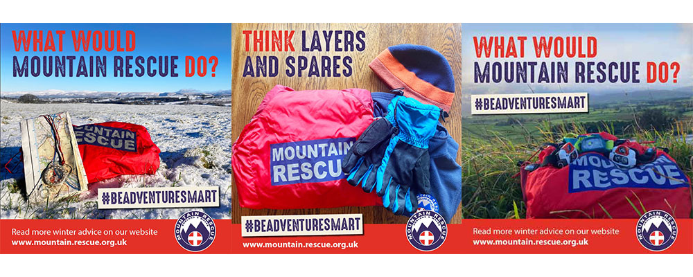
Planning for shorter days and winter conditions is crucial. Carrying a torch (or two … or three) can make all the difference. LED headtorches are easily available, light, compact and can be quite cheap. Having one handy means that you can see the path ahead, you can be seen, you can read a map (see more of this below) and you won’t have to rely on your mobile phone battery to power a light. Also, a headtorch means that your hands are free too.
There are hundreds of headtorches on the market with different degrees of brightness and battery life. Make sure you get a suitable torch for your needs. For example, running, cycling and longer walks will require a brighter light and longer battery life.
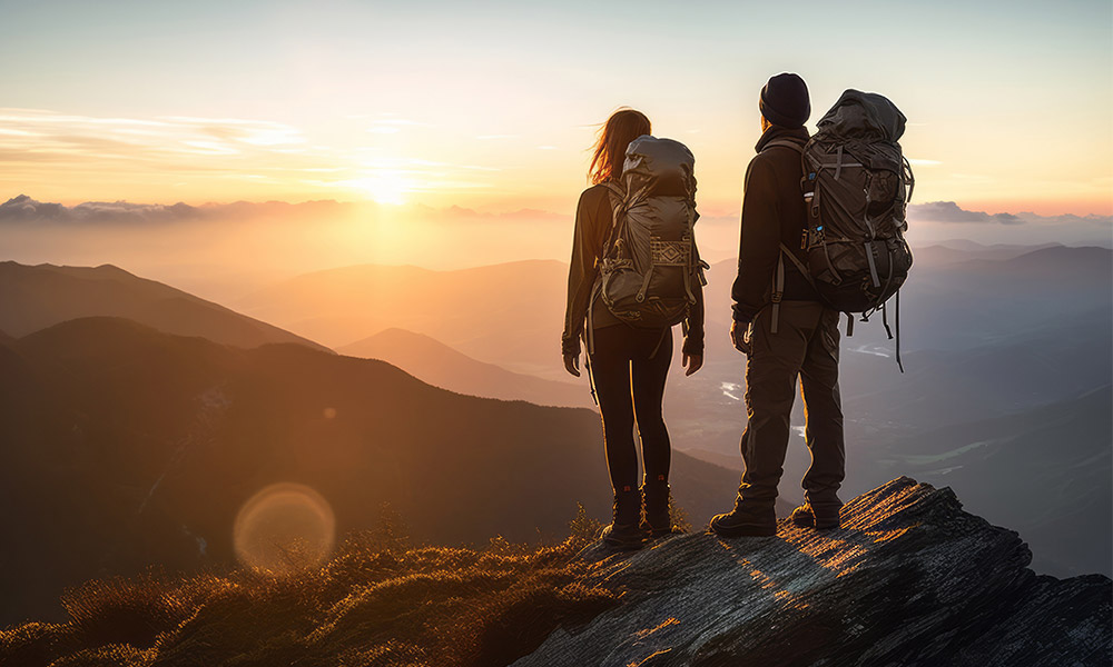
Plenty of food and drink will help keep everyone going and a flask of something hot will help keep you warm. These extra pieces of winter kit will all add weight to your bag and you’ll likely to be slower. Keep that in mind when planning your time outside and estimating your time of return. This extra winter gear means that you can enjoy your adventures without getting cold or worse
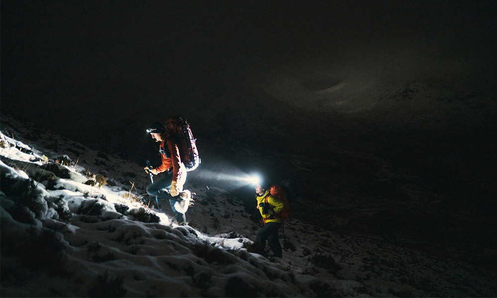
Winter in the mountains
You need to anticipate the conditions under foot (and the weather) for your whole day, not just at the start or during twilight hours. It might be sheltered and green in the valley but you can expect stronger and colder winds as you climb. Wind chill in the hills can reduce the temperature significantly and, if you then get wet, you can become cold very quickly. It’s not always so green as you climb wither – there’s often the potential for ice and snow on paths at higher levels. If you’re heading into the hills, it’s well worth getting a mountain weather forecast, such as those supplied online by the Met Office and MWIS, to find out more about what to expect as you climb and as your day goes on. Plan your route accordingly.
Carrying an ice axe and crampons may seem extreme for well-worn paths but it’s worth considering and even “gel spikes” can make a big difference. Well-worn paths can become icy in winter and sometimes the most dangerous routes are those taken when people just wanted to avoid the ice
Learn to map read
Night and winter navigation is more challenging. It’s worth practising in the warmer months so that you’re building on those skills in the winter. Even MR volunteers train regularly on winter and night navigation to ensure that their skills are up to standard.
Here are a few top tips for winter navigation.
Carry a compass (!) and a paper map
Mobile phone apps are great for navigation – that’s why Mountain Rescue and OS Maps work together – but phones also rely on battery power and that can be unreliable in cold winter conditions and they can be tricky to use with thick gloves. It is well worth having the traditional tools as back up. The OS Maps app will pinpoint your location for you but it’s always wise to carry and paper map and compass as a back up, even more so in winter.
Know where you are at all times
When you look at the map and plan your route, create a list of features to ‘tick off’ as you pass them so that you have a constant awareness of where you are on your route. This list of features can help if you’re walking as a group or family – it’ll keep people moving – and it will also help if the fog rolls in or a white out descends.
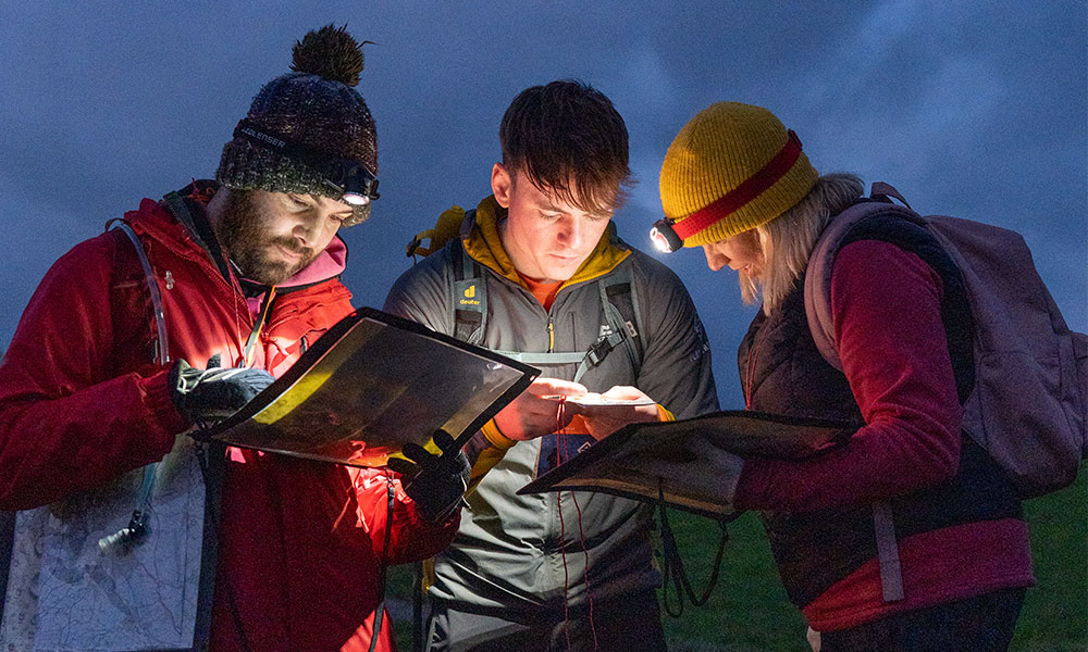
Trust your compass
In poor visibility, it’s easy to feel disorientated, especially if you’ve sat down for a break and then need to get moving again. If you’re using a paper map, take a bearing with your compass and double check it. Unless you’ve made the mistake of having it near your mobile phone, it will be accurate, so trust what it says and stick to it.
More on how to use a compass.
Know your 100 metre pace
If you’re going to walk on a bearing (using a compass) you need to know how many paces that is in your own gait. Before you head out, figure this out on a flat field and pace out, counting each double step – usually between 60 and 75 for most people.
If you can, then check it on steep ground going up, going down and in snow – that way you’ll have a figure to measure out in various conditions and you can rely on your counting.
Contours are your friend
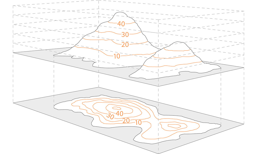
Being able to use contours to interpret slope aspect can be a lifesaving technique when you find yourself lost in poor visibility. Contours can be the hardest feature to interpret on a map and certainly takes practice to master, but they are also the one feature in the landscape which will not change in winter. Down will always be down.
Find out how to interpret contour features here.
Winter can be an amazing time to be outdoors – but it pays to #BeAdventureSmart, prepare and plan and ensure that your adventure ends happily too.
IMPORTANT WINTER HIKING ADVICE
- Always tell someone where you are going and what time you expect to be back. It’s worth letting them know your planned options in bad weather and what kit you have for emergencies too.
- Check the weather forecast. Plan your route and pack the right kit accordingly. Check a specialist mountain forecast if you’re heading for the hills.
- Be seen and always pack a torch in winter, even if you plan to be back before sunset.
