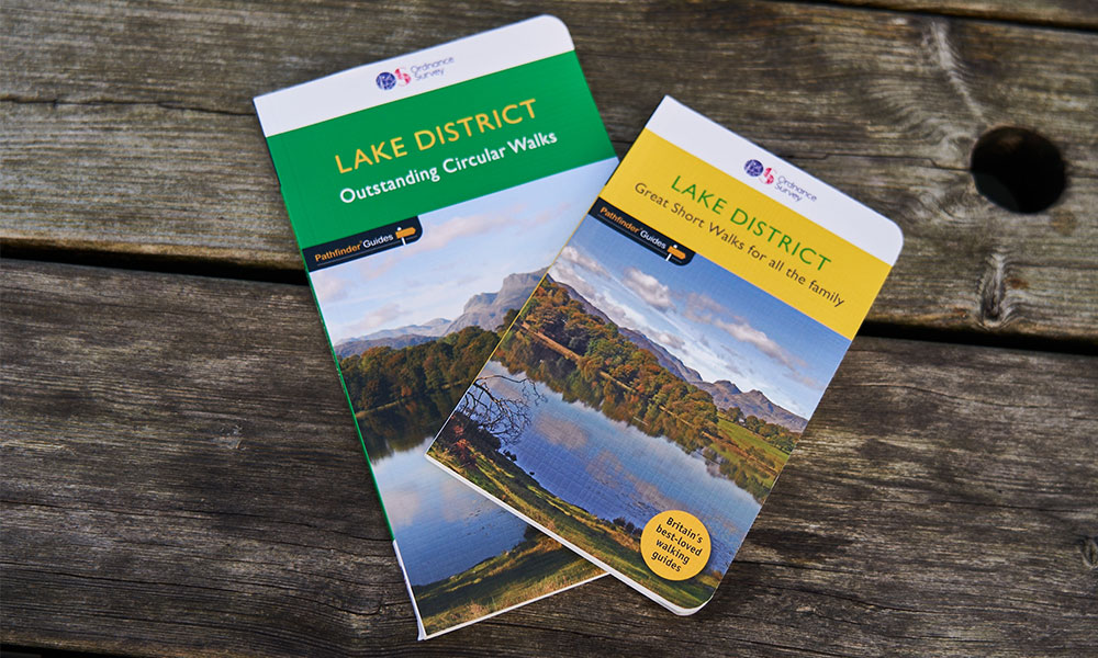
OS Pathfinder Guides vs OS Short Walks Made Easy
The OS Pathfinder Guides and OS Short Walks Made Easy series capture some of the best walking routes across Great Britain and include a range of useful information to make it easier to plan your walks. We take a look at these two guidebooks in more detail to help you decide which one is best for you.
OS Pathfinder Guide
Why do I need a walking guidebook?
Walking guidebooks can play an important role in helping you enjoy the outdoors through predefined walking routes with turn-by-turn instructions. They are especially useful if you’re after specific types of routes, like accessible walks for all or trails suitable for dogs. They take the hassle out of planning and help you get more from your time outside by providing information on parking, refreshment stops and the local area. So, whether you’re planning a staycation, a weekend getaway, or a leisurely day walk, a walking guidebook can help.
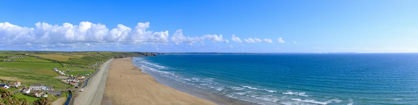
Best walking book for those starting out
The OS Short Walks Made Easy guidebooks are perfect for those with little to no walking experience. Each pocket-sized guide includes 10 bottom-of-the-hill leisurely walks, ranging from 2 to 5 miles, in popular outdoor locations like the Lake District, Snowdonia or Dorset’s Jurassic Coast. There are currently twelve books in the series with more launching soon, bringing a total of 15 Short Walks guides across the UK.

OS Short Walks are perfect for all abilities
These beginner-friendly guidebooks highlight accessible paths and allow you to follow routes in various ways. They include easy-to-use simplified mapping, walk profiles, turn-by-turn instructions, and route photography. They are particularly useful for those less able or short on time. Each walk is packed with essential information detailing public transport, parking, amenities, where to eat and drink, nature notes and stories behind each walk. Get a taste of Britain’s incredible scenery and discover some of the best coastal, forest and hilltop walks with OS Short Walks Made Easy guidebooks.
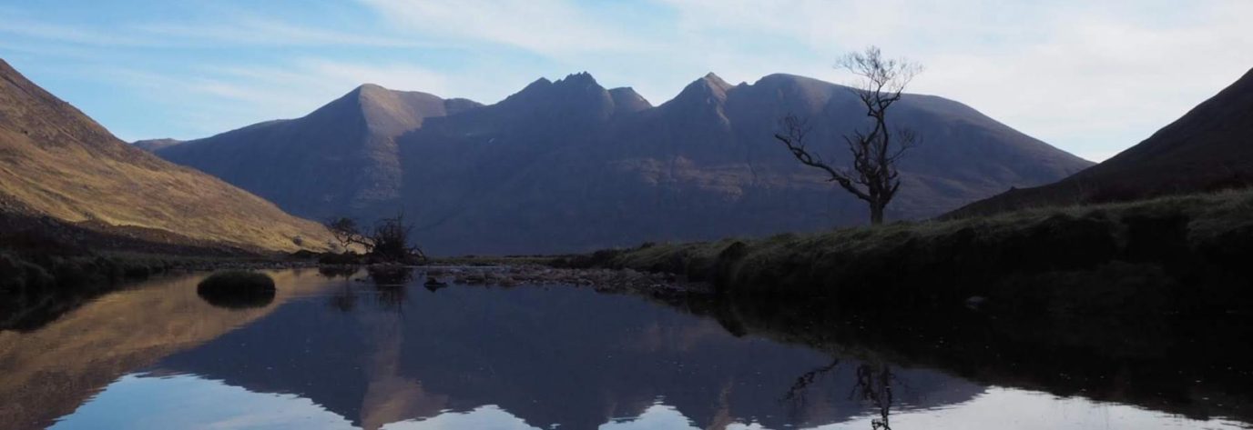
Best walking book for avid hikers
For the more experienced walker, the OS Pathfinder Guides include a variety of fantastic walks. With up to 28 walks per title, you can enjoy challenging longer routes up to 12 miles or shorter, easier routes between 3 and 9 miles long.
OS Pathfinder Guide
Each tried and tested walk includes detailed OS Explorer map extracts with route overlays and turn-by-turn instructions. The guides are also packed with essential information on how to get there, where to park, route terrain, waypoints for your GPS and the OS Explorer maps you may also want to bring.
OS Pathfinder Guides cover popular areas for walking, with over 80 titles in the range and four more coming soon. There’s even Pathfinders for accessible walks for all, perfect for those needing a suitable path for wheelchairs, pushchairs and those less able. The Pathfinder Guides help enhance your walk by reading the background information of the area including its history, natural environment and things you may spot along the route.
Best walking book for families
The OS Short Walks Made Easy guidebooks provide a perfect introduction to walking as they are designed for families with children of all ages. As mentioned above, these guidebooks include information on accessibility, which help you understand which paths are better suited for pushchairs. This can save you a huge amount of time when planning a buggy-friendly walk with little legs in tow. All the walks are up to 5 miles long with little to no gradient and make great dog walks – just look out for the dog-friendly symbol.

Family-friendly walks with OS Short Walks Made Easy
A family walk is not complete without snacks and most of the routes have good picnic spots and refreshment opportunities in a pub, café or tearoom, so you can reward your clan with an ice cream or two! There’s also information on easy parking and public toilets which will help you explore with ease. Keep older children entertained – and educated – with the short stories and nature information for each walk. From at home planning to following the route when you’re out, the OS Short Walks Made Easy guidebooks will help you make lasting memories outside.
Best book for accessible walks
The Lake District and Cumbria Accessible Walks for All guide is designed to help wheelchair users get outside across the Lake District and Cumbria, the walks are also suitable for pushchairs and all-terrain buggies, and favour families with younger children and anyone wanting a relatively gentle walk amid beautiful surroundings to enjoy at their own pace.
The first in its series, this guide is devoted entirely to accessible walks, includes 38 routes across Cumbria, featuring the Solway coast, Carlisle, Hadrian’s Wall, and the Lake District from Bassenthwaite Lake to Windermere and Ennerdale to Lowther Park.
How to use a walking guidebook?
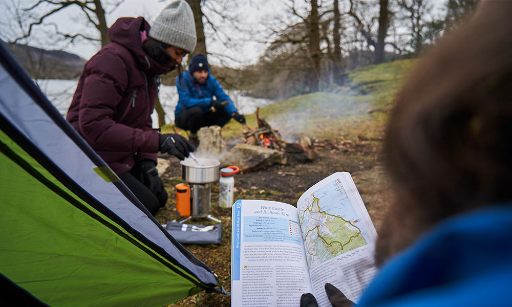
OS Short Walks Made Easy
Planning your walk
The OS Short Walks Made Easy series includes a short summary of each walk with important information such as distance, duration (based on a gentle pace) and start/finish location. In addition, you can find the below information to help you choose a route.
• Parking
• Whether you need to use public transport to get back to the start
• Availability of cafés, tearooms and pubs, and toilets
• Terrain – indicates the nature of the route surface
• Hilliness – signifies any rises and falls on the route
• Dog-friendliness – where dog can go and if they need to be on a lead
• Accessibility – suitable for wheelchairs or pushchairs
• Footwear suggestion
• Grid reference for the starting point
• OS paper map for each route
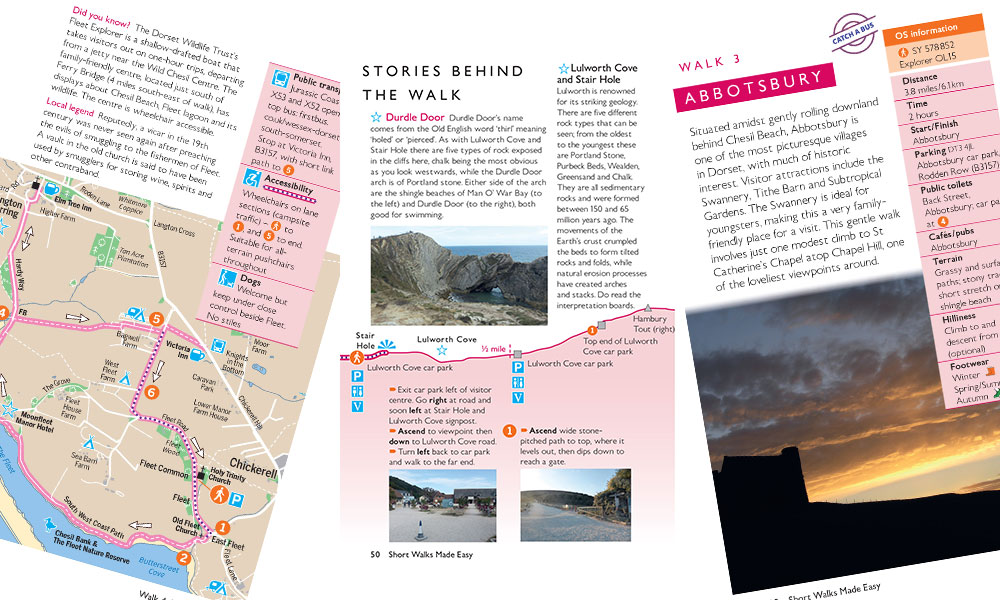
Inside OS Short Walks Made Easy
When out and about
Happy to map read? Navigate using the large-scale simplified mapping which makes it easier for you to focus on the route and the points of interest along the way. The numbered points on the map indicate key turns along the route that tie in with the route instructions and respective points marked on the profile. The pictorial symbols help you discover points of interest and amenities with information on what each map symbol means included at the front of the book.
Not comfortable map reading? The OS Short Walks Made Easy guidebooks include a simple-to-follow route profile and accompanying route description with turn-by-turn instructions. There are also reassuring route photographs for each numbered point to help you know where to go.
Don’t forget! During your walk, read the insightful stories and nature notes behind each route to help you make the most of your walk.
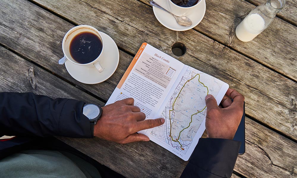
OS Pathfinder Guides
Planning your walk
The OS Pathfinder Guides includes route summaries which are displayed at the front of the book in a neat table. Here, you’ll also find a visual map of the area which shows you where each walk is located. The walks are split up according by difficulty and duration to help you find the right walk for the occasion.
Each walk has its own key information box which includes:
• Start point
• Distance
• Duration
• Elevation gain
• Approximate time
• Route terrain
• Where to park
• OS paper maps covering the route
• OS Grid References for each key waypoint
OS Pathfinder Guides
When out and about
You can use the OS Pathfinder Guides to follow the route as it includes extracts of OS Explorer mapping and turn-by-turn instructions. Key waypoints and points of interest are highlighted in both the instructions and on the map. Being familiar with OS mapping is a bonus but the route instructions provide a simple back up if you’re unsure of which way to go.
Before you set off, read up on the area information at the front of the book. This will help you gain some understanding of the area you’ll be walking in, its history and its natural environment.
Don’t forget! To check the back of the book where you’ll find safety information and contact details for useful organisations you may need to call upon.
Head over to the OS Shop to explore the extensive range of guidebooks including a coverage map of the OS Pathfinder range. We’ve also put together our 10 best short walks from the OS Short Walks Made Easy series.