Newport Coast Circular Walks
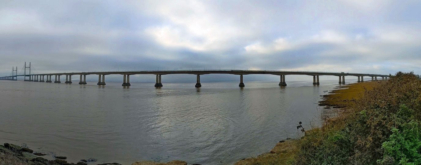
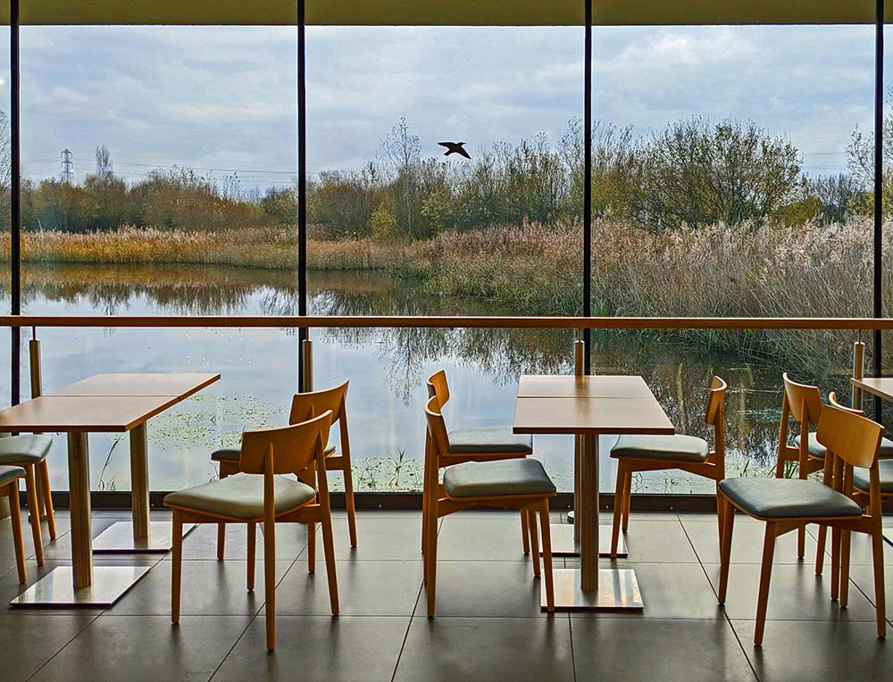
The route through Newport is 24 miles . 38.5km long, from the western border with Cardiff and reaches Goldcliff and the continuation of the seawall to Newport’s eastern boundary. This is a section full of estuary views (Severn estuary), peaceful wetlands, and villages. Starting near Cardiff, the route follows the seawall past Newport, weaving inland through the city and over the iconic Transporter Bridge, before heading back out toward the coast. One of the main highlights is the Newport Wetlands National Nature Reserve—created in 2000 to replace lost habitats when Cardiff Bay was developed. It’s full of lagoons, reed beds, and birdlife, with a 12.5km loop (though you can take shortcuts marked “VC” to the visitor centre café).
The path continues to Goldcliff, where you can stop at the local pub or visit the church before walking through flat pastures toward Nash—another village with its own pub. Be sure to wear suitable footwear in winter as the path can be muddy.
This section of the path you can explore the Gwent Levels’ drainage system with field paths, footbridges, and coastal views. It’s best done in dry or frosty weather. Don’t miss the 1607 flood marker at St Thomas’ Church or the quirky old cider-making gear near the Rose Inn. All in all, it’s a scenic, peaceful route packed with nature, history, and an opportunity for refreshments along the way.
Newport Wetlands Circular Walk
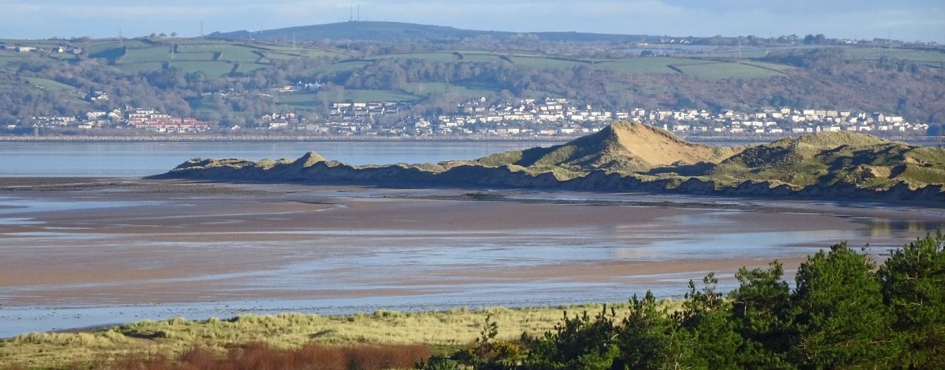
The Newport Wetlands National Nature Reserve was established in 2000, compensating for the loss of bird-rich habitats when the Cardiff Bay Barrage was built. The reserve is centred on shallow lagoons on a former industrial site, but it extends much further into the low-lying countryside near the Severn estuary. Birdwatchers can make the most of the reserve by following a route of 7.7 miles / 12.5km, though there are places where short-cuts significantly reduce the distance.
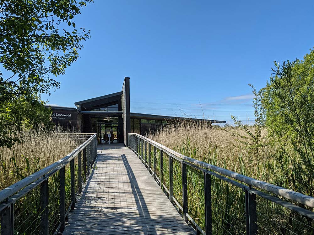
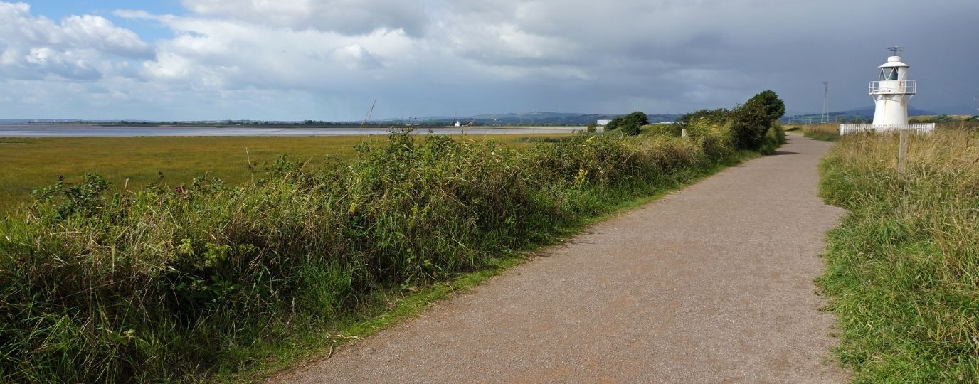
Either start by going to the visitor centre on the nature reserve, which has a café, or follow the Wales Coast Path immediately from the car park. Pass beneath an impressive tangle of power lines from the former Uskmouth Power Station. A coastal embankment overlooks saltmarsh, mudflats and the Severn estuary, while reed-fringed lagoons lie inland. Pass a little lighthouse, and if the route needs to be shortened, simply follow any path marked ‘VC’, for the visitor centre.
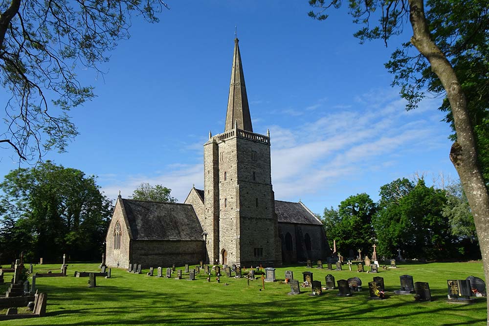
The route drifts inland and there is another option to short-cut to the village of Nash, otherwise keep following the Wales Coast Path to the village of Goldcliff and its pub. Visit St Magdalene’s Church, then follow field paths through the ‘Swaplands’, along with farm roads to reach the village of Nash, where there is another pub. Bear in mind that these fields are very low-lying and can get very wet and muddy in the winter months. Any spare time at the end of the walk can be spent exploring a network of paths around the visitor centre, or simply enjoy a snack in the café. Read the detailed route description for Newport Wetlands.
Top Tip
Take binoculars and check at the visitor centre to see what birds are likely to be spotted around the reserve. Be prepared for wet and muddy ground in the winter.
Redwick Circular Walk Circular Walk
St Thomas’ Church at Redwick displays a marker in its porch showing how high the ‘Great Flood’ of 1607 rose. This was most likely a storm surge that caused death and devastation on both sides of the Severn estuary. This walk is all about exploring the levels, reens and gouts that drain the low-lying fields of the Gwent Levels. This was originally marshland, so remember that in the winter months the ground is usually waterlogged and very muddy underfoot. The best time for this walk is during a prolonged dry spell, or during an exceedingly cold and frosty spell.
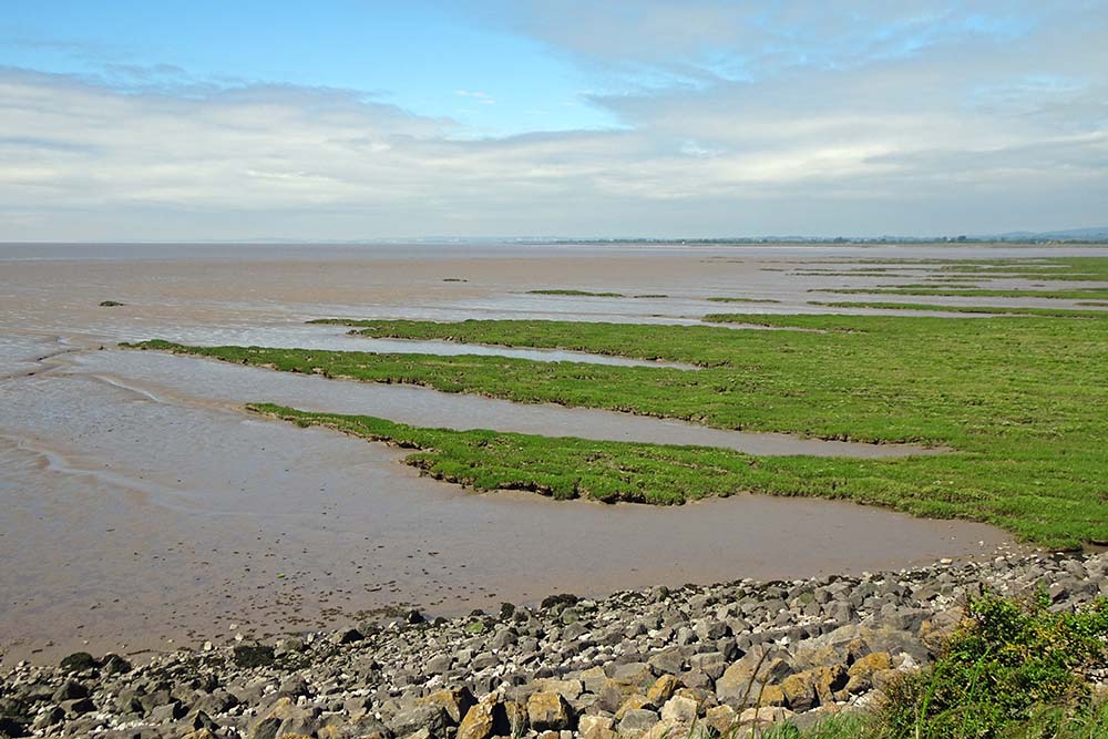
Leave Redwick to follow flat and easy field paths, crossing the canal-like Windmill Reen to link with the Wales Coast Path on top of a prominent coastal embankment. Enjoy the wide-ranging views across the marshes and mudflats while following the embankment to Porton House. Head inland through more fields, crossing several footbridges over drainage ditches to reach farm buildings at Great Porton.
Walk alongside the prominent drainage ditch of Hare’s Reen, then cross a double pipeline that leads the eye far inland to a steelworks site at Llanwern.
Cross several fields and footbridges around Broad Mead to reach Mead Farm. A short walk returns to Redwick where a break might be taken at the Rose Inn. Look inside a curious little building between the Rose Inn and St Thomas’ Church.
This is filled with millstones, cider-pressing equipment and several items salvaged from old buildings, with stocks alongside. Read the detailed route description for Redwick Circular Walk
Top Tip
Parking is very tight, so park considerately. Note that the ground can be very wet and muddy in the winter months. A pair of thorn-proof gloves and snips helps to remove brambles that might be tangled around stiles and footbridges.
We hope you have enjoyed these Newport Circular Walking Routes, it’s great to have a list of routes that are available to those travelling by rail, a fun way to explore the countryside.
There are many more exciting walking routes available to visit across Wales including all of the fabulous Welsh Coast Path Circular Routes.
If you’re planning to explore what Wales has to offer, take a look at our guide to the origin of Welsh place names. This guide will help you with understanding Welsh names, how to pronounce them and meaning behind them, adding a little more context and interest to your adventures.